Coed Cae-twll

Wood, Forest in Caernarfonshire

Wales

Coed Cae-twll

Minor road near Botwnnog
Minor road near Botwnnog Credit: Alpin Stewart

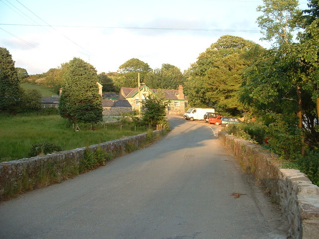
Coed Cae-twll, located in Caernarfonshire, is a stunning woodland area known for its natural beauty and diverse wildlife. Covering an approximate area of 500 acres, this ancient forest is a popular destination for nature enthusiasts and hikers alike.

The woodland is characterized by its dense canopy of trees, predominantly consisting of native species such as oak, beech, and birch. These towering trees provide a cool and serene atmosphere, making it a perfect retreat from the hustle and bustle of city life.

The forest floor is adorned with a rich carpet of ferns, wildflowers, and mosses, creating a vibrant and colorful landscape. The interlacing network of footpaths and trails allows visitors to explore the area at their own pace, providing ample opportunities for peaceful walks and bird-watching.

Coed Cae-twll is also home to a wide range of wildlife, making it a haven for nature lovers. The forest provides habitat for various bird species, including woodpeckers, owls, and songbirds. Small mammals like squirrels, badgers, and rabbits can also be spotted among the trees, adding to the charm of the woodland.

The forest is well-maintained, with designated picnic areas and benches available for visitors to relax and enjoy the tranquil surroundings. It is also a designated Site of Special Scientific Interest (SSSI), highlighting its importance for biodiversity conservation.

Overall, Coed Cae-twll offers a unique and enchanting experience for nature enthusiasts, allowing them to immerse themselves in the beauty of this ancient woodland and reconnect with the wonders of the natural world.

If you have any feedback on the listing, please let us know in the comments section below.

Coed Cae-twll Images

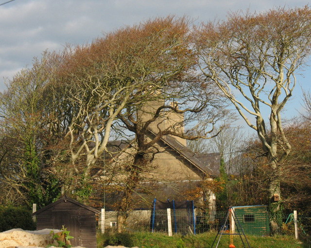
Images are sourced within 2km of 52.855533/-4.5704152 or Grid Reference SH2731. Thanks to Geograph Open Source API. All images are credited.

Minor road near Botwnnog
Direction Sign – Signpost where the B4413 and the B4415 meet Located on the northeast side of the T junction of the B4413 and the B4415 in Llanengan community. 4 arms and pawn finial. See also <a title="https://www.geograph.org.uk/photo/2001360" href="https://www.geograph.org.uk/photo/2001360">Link</a>.

Milestone Society National ID: CAE_SH2831
Direction Sign – Signpost where the B4413 and the B4415 meet
Located on the northeast side of the T junction of the B4413 and the B4415 in Llanengan community. 4 arms and pawn finial. See also Link. Milestone Society National ID: CAE_SH2831
Trewerin semis, Botwnnog
St Beuno's Church, Botwnnog
Capel Rhydbach Rhyd-Bach Methodist Chapel was built in 1889 in the Simple Round-Headed style of the gable entry type. A prominent feature of this Chapel is the large arch in the facade.
Capel Rhydbach
Rhyd-Bach Methodist Chapel was built in 1889 in the Simple Round-Headed style of the gable entry type. A prominent feature of this Chapel is the large arch in the facade.
Stone walls at Nanhoron On the left, the high wall hides Nanhoron Home Farm. On the right the wall stretches along the boundary of Nanhoron Estate
Stone walls at Nanhoron
On the left, the high wall hides Nanhoron Home Farm. On the right the wall stretches along the boundary of Nanhoron Estate
Cut benchmark at St. Beuno's Church
St Beuno's Church
St Beuno's Church
B4413 near Bodlondeb
B4413 near Bryngwynyd
B4413 nearing Botwnnog
A lane at Llandegwning
St Gwynin's church, Llandegwning
St Beuno's church, Botwnnog
The drive to Nanhoron
Former chapel at Ty'n-donnen
Ordnance Survey Cut Mark This OS cut mark can be found on the chapel gatepost. It marks a point 16.011m above mean sea level.
Ordnance Survey Cut Mark
This OS cut mark can be found on the chapel gatepost. It marks a point 16.011m above mean sea level.
Old Milestone Old milestone on the B4413 at Botwnnog, Gwynedd. For overall view see <a title="https://www.geograph.org.uk/photo/5634357" href="https://www.geograph.org.uk/photo/5634357">Link</a>
Old Milestone
Old milestone on the B4413 at Botwnnog, Gwynedd. For overall view see Link
Show me another place!

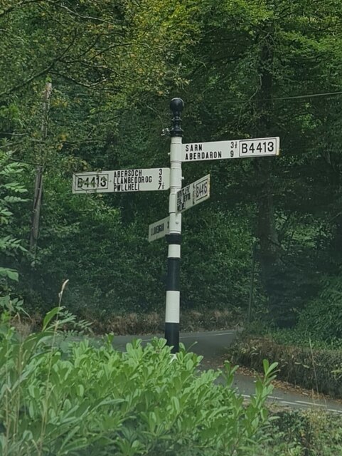
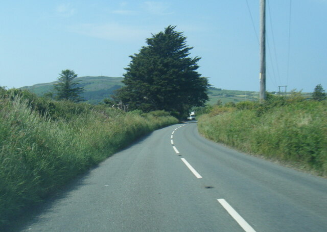
Coed Cae-twll is located at Grid Ref: SH2731 (Lat: 52.855533, Lng: -4.5704152)

Unitary Authority: Gwynedd

Police Authority: North Wales

What 3 Words

///riverbed.recover.follow. Near Nefyn, Gwynedd

Related Wikis

Botwnnog

Botwnnog is a village and community in Gwynedd in Wales, located on the Llŷn Peninsula 6 km (4 mi) west-north-west of Abersoch. It is in the historic county...

Capel Newydd, Nanhoron

Capel Newydd in Nanhoron, near Llanengan, Gwynedd, is probably the oldest surviving Nonconformist chapel in North Wales. The chapel dates from 1770–1772...

Llandegwning

Llandegwning is a village and former civil parish in the Welsh county of Gwynedd. The parish was abolished in 1934, and incorporated into Botwnnog....

Llaniestyn, Gwynedd

Llaniestyn is a village and former civil parish in the Welsh county of Gwynedd. The parish was abolished in 1934, and divided between Tudweiliog and Botwnnog...

Nearby Amenities

Located within 500m of 52.855533,-4.5704152
Power: pole
Lat/Long: 52.8542381/-4.5695508
Power: pole
Lat/Long: 52.8534979/-4.5702508
Power: pole
Lat/Long: 52.8528614/-4.5708369
Power: pole
Lat/Long: 52.8522411/-4.5714028
Power: pole
Lat/Long: 52.8518863/-4.572237
Power: pole
Lat/Long: 52.8596765/-4.5700496
Power: pole
Lat/Long: 52.8591631/-4.5707738
Power: pole
Lat/Long: 52.8586676/-4.5714229
Power: pole
Lat/Long: 52.8579453/-4.572469
Power: pole
Lat/Long: 52.8572473/-4.5734078
Power: pole
Lat/Long: 52.8564262/-4.5745531
Power: pole
Lat/Long: 52.855537/-4.5749635
Power: pole
Lat/Long: 52.8549135/-4.5752558
Power: pole
Lat/Long: 52.8543531/-4.5754838
Power: pole
Lat/Long: 52.8536842/-4.5758003
Power: pole
Lat/Long: 52.8528905/-4.576216
Power: pole
Lat/Long: 52.8588506/-4.5753416
Power: pole
Lat/Long: 52.8585461/-4.5754865
Power: pole
Lat/Long: 52.8580651/-4.5757896
Power: pole
Lat/Long: 52.8577105/-4.5759371
Power: pole
Lat/Long: 52.8573299/-4.5761758
Power: pole
Lat/Long: 52.8564982/-4.576558
Power: pole
Lat/Long: 52.8558504/-4.5765714
Power: pole
Lat/Long: 52.8550617/-4.5765473
Power: pole
Lat/Long: 52.854443/-4.576562
Power: pole
Lat/Long: 52.8537198/-4.5765486
Power: pole
Lat/Long: 52.8530922/-4.5765325
Power: pole
Source: bing
Lat/Long: 52.8552277/-4.564539
Power: pole
Source: bing
Lat/Long: 52.8553265/-4.5657353
Power: pole
Source: bing
Lat/Long: 52.8554334/-4.5670415
Power: pole
Source: bing
Lat/Long: 52.8555346/-4.5684108
Power: pole
Source: bing
Lat/Long: 52.8548147/-4.5690706
The data included in this document is from www.openstreetmap.org. The data is made available under ODbL.

Have you been to Coed Cae-twll?

Leave your review of Coed Cae-twll below (or comments, questions and feedback).