Bridgend Wood

Wood, Forest in Pembrokeshire

Wales

Bridgend Wood

Ordnance Survey Cut Mark This OS cut mark can be found on the stone wall SE side of the road. It marks a point 82.875m above mean sea level.
Ordnance Survey Cut Mark Credit: Adrian Dust

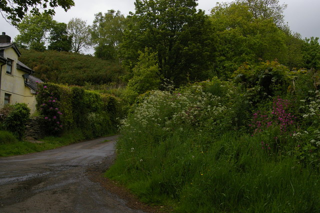
Bridgend Wood is a picturesque forest located in the county of Pembrokeshire, Wales. It covers an area of approximately 50 acres and is situated near the town of Bridgend. The wood is part of the larger Bridgend Farm estate and is managed by the local council for public enjoyment and conservation purposes.

The wood is predominantly composed of native broadleaf trees, such as oak, beech, and ash, creating a diverse and vibrant ecosystem. These trees provide a habitat for a wide variety of wildlife, including birds, mammals, and insects. Visitors to Bridgend Wood can often spot species such as woodpeckers, squirrels, and butterflies, making it a popular destination for nature enthusiasts and bird watchers.

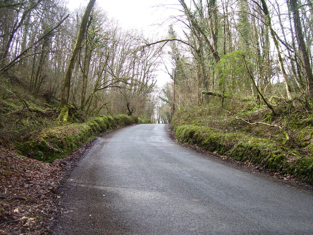
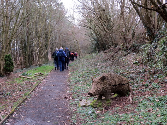
The forest features several well-maintained walking trails that wind through the wood, allowing visitors to explore its natural beauty at their own pace. These trails offer glimpses of stunning woodland scenery, with dappled sunlight filtering through the canopy and wildflowers blooming along the paths.

In addition to its natural attractions, Bridgend Wood also boasts several amenities for visitors. There is a car park at the entrance, providing easy access for those arriving by car. Picnic tables and benches are scattered throughout the wood, offering spots for visitors to relax and enjoy a picnic amidst the tranquil surroundings.

Bridgend Wood is a true gem in the heart of Pembrokeshire, providing a peaceful and idyllic escape for nature lovers and those seeking a break from the hustle and bustle of everyday life.

If you have any feedback on the listing, please let us know in the comments section below.

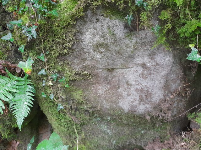
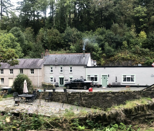
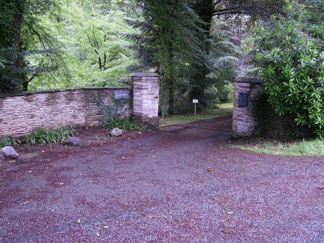
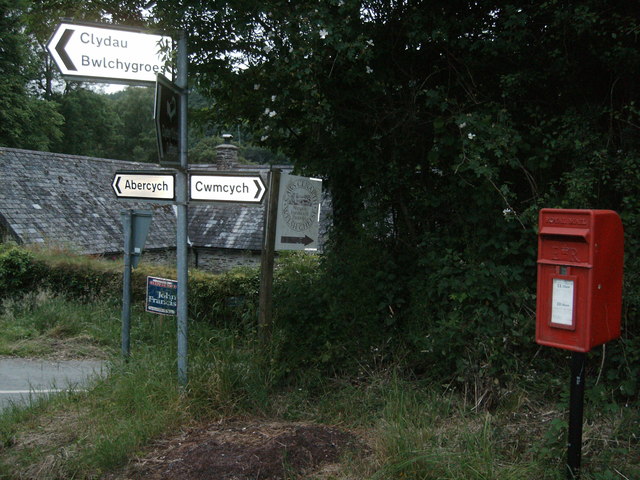
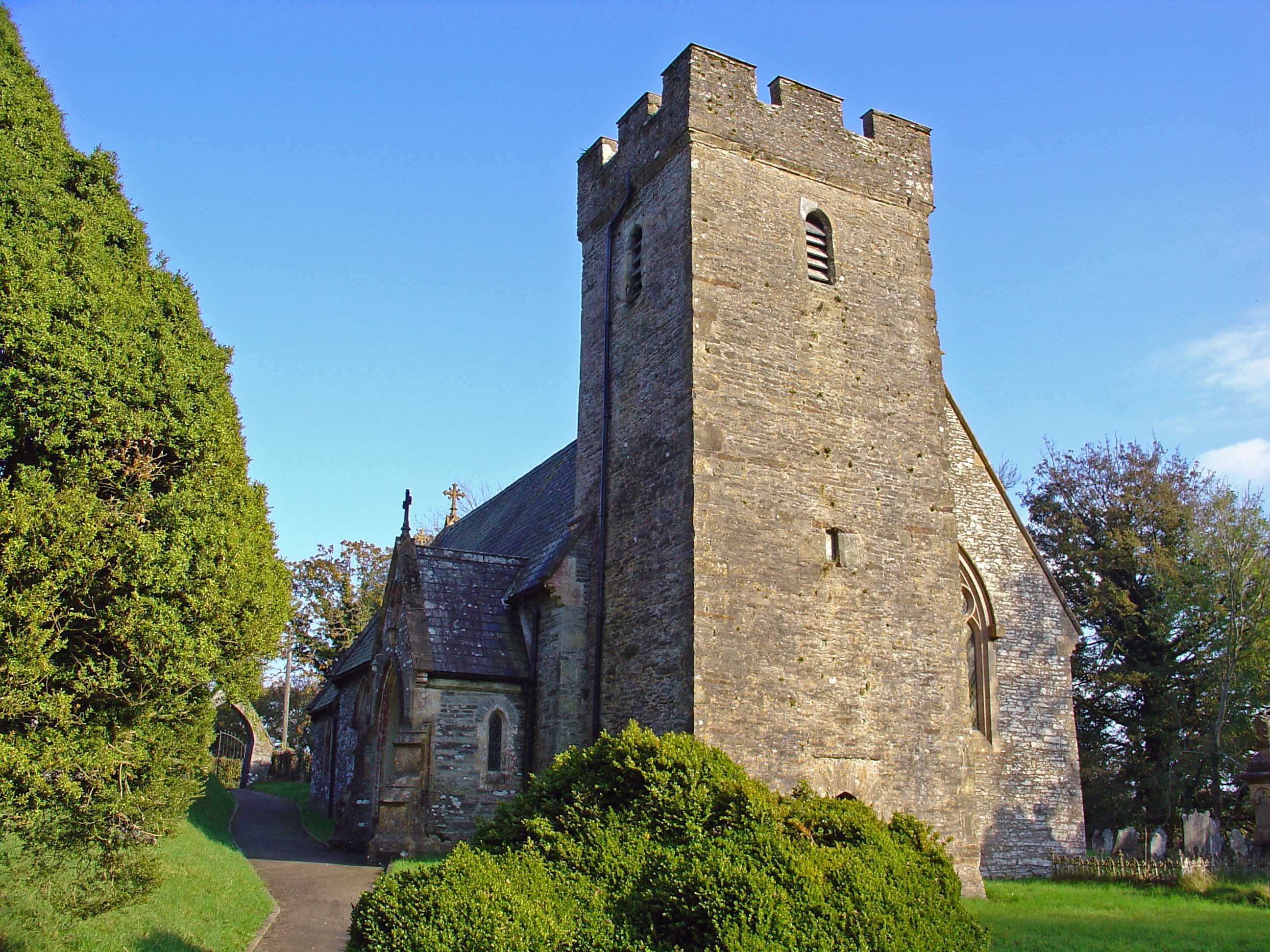
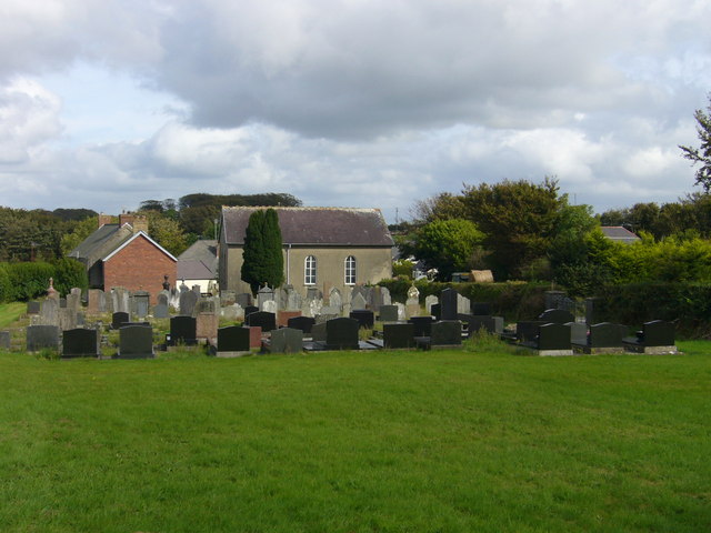
Bridgend Wood Images

Images are sourced within 2km of 52.012334/-4.5291143 or Grid Reference SN2637. Thanks to Geograph Open Source API. All images are credited.

Ordnance Survey Cut Mark This OS cut mark can be found on the stone wall SE side of the road. It marks a point 82.875m above mean sea level.
Ordnance Survey Cut Mark
This OS cut mark can be found on the stone wall SE side of the road. It marks a point 82.875m above mean sea level.
Fox & Hounds, Cwm Cych Former public house, now a private house
Fox & Hounds, Cwm Cych
Former public house, now a private house
Entrance to Lan Cych Lan Cych entrance, cattle grid to stop animals getting in or out, very picturesque area with many holiday properties, popular with walkers.
Entrance to Lan Cych
Lan Cych entrance, cattle grid to stop animals getting in or out, very picturesque area with many holiday properties, popular with walkers.
Ruin on road side Small derelict dwelling in what looks like a small quarry.
Ruin on road side
Small derelict dwelling in what looks like a small quarry.
Ruin on road side The front entrance of this small ruin, on the edge of Bridgend Wood.
Ruin on road side
The front entrance of this small ruin, on the edge of Bridgend Wood.
Profusion of signs! Cross roads sign, Caws Cenarth Welsh Cheese sign, For Sale sign, a brown sign for Clydey Country Cottages, and a post box
Profusion of signs!
Cross roads sign, Caws Cenarth Welsh Cheese sign, For Sale sign, a brown sign for Clydey Country Cottages, and a post box
Lancych Fach house sign Continuing from <a href="https://www.geograph.org.uk/photo/3017624">SN2638 : Profusion of signs!</a> sign for the property that is for sale, Lancych Fach.
Lancych Fach house sign
Continuing from SN2638 : Profusion of signs! sign for the property that is for sale, Lancych Fach.
Lan Cych house Well masked by trees, this property is most noticeable when the sun shines on it!
Lan Cych house
Well masked by trees, this property is most noticeable when the sun shines on it!
Entrance through trees to Glandulais This entrance looks like it is not used often, photo taken from bridge on road. Glandulais is not shown on the map!
Entrance through trees to Glandulais
This entrance looks like it is not used often, photo taken from bridge on road. Glandulais is not shown on the map!
Bridge over Afon Dulais Small tributary of the Afon Cych, at Pont Dulais.
Bridge over Afon Dulais
Small tributary of the Afon Cych, at Pont Dulais.
View across the valley of Afon Cych From Glyneithinog Farm (home to the Caws Cenarth cheese-making concern).
View across the valley of Afon Cych
From Glyneithinog Farm (home to the Caws Cenarth cheese-making concern).
Field above Glyneithinog
Junction at Towerhill Farm The red campion to the right of the photo is very characteristic of hedgerows in this part of Wales in the late spring.
Junction at Towerhill Farm
The red campion to the right of the photo is very characteristic of hedgerows in this part of Wales in the late spring.
Road up from Pont Cych
Road down from Pont Cych
Small waterfall down to Afon Cych
Allt Cil-Frychan Cerddwyr yn dilyn llwybr yn Allt Cil-Frychan.

Walkers following a path at Allt Cil-Frychan (trans. wood of Brychan's nook)
Allt Cil-Frychan
Cerddwyr yn dilyn llwybr yn Allt Cil-Frychan. Walkers following a path at Allt Cil-Frychan (trans. wood of Brychan's nook)
Show me another place!

Bridgend Wood is located at Grid Ref: SN2637 (Lat: 52.012334, Lng: -4.5291143)

Unitary Authority: Pembrokeshire

Police Authority: Dyfed Powys

What 3 Words

///coach.ignore.cards. Near Newcastle Emlyn, Ceredigion

Nearby Locations

Bridgend Wood Havod Wood

Related Wikis

Roman Catholic Diocese of Menevia

The Diocese of Menevia (Latin: Dioecesis Menevensis) is a Latin Church diocese of the Catholic Church in Wales. It is one of two suffragan dioceses in...
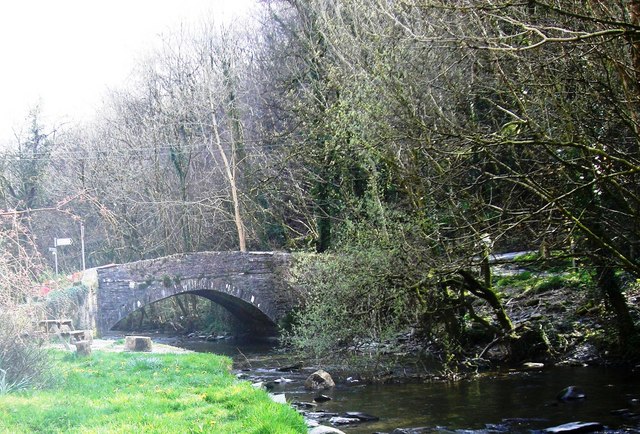
Pont Cych

Pont Cych is a single-arch, Grade II-listed bridge over Afon Cych at Cwmcych in the Cych Valley, bordering Carmarthenshire and Pembrokeshire, Wales....

Pont Treseli

Pont Treseli or Pont Tre-seli is a Grade II-listed single-arch stone bridge spanning Afon Cych at Abercych, Pembrokeshire, Wales. It carries the B4332...

Cwmcych

Cwmcych, Cwm Cych or Glyn Cuch (Welsh for 'Valley of the river Cych') is a small village in the upper Cych valley straddling the border between Carmarthenshire...

Clydau

Clydau (sometimes Clydaï or Clydey) is a community and parish in Pembrokeshire, Wales. == Name == The meaning of the Welsh placename is uncertain, although...

Bwlchygroes

Bwlchygroes (; sometimes spelled Bwlch-y-groes) is a small upland rural village in the community and parish of Clydau, north Pembrokeshire, Wales, 5 miles...

Cilgerran Hundred

The Hundred of Cilgerran (often written "Kilgerran") was a hundred in the north of Pembrokeshire, Wales. It was formed by the Act of Union of 1536 from...

Abercych

Abercych (or Abercuch, Welsh pronunciation: [ɑbərkiːx]) is a small village in the community of Manordeifi, northeast Pembrokeshire in South West Wales...

Nearby Amenities

Located within 500m of 52.012334,-4.5291143
Direction: SSW
Generator Method: photovoltaic
Generator Output Electricity: yes
Generator Solar Modules: 16
Generator Source: solar
Generator Type: solar_photovoltaic_panel
Location: roof
Power: generator
Lat/Long: 52.0080601/-4.528408
Direction: 125
Generator Method: photovoltaic
Generator Output Electricity: yes
Generator Solar Modules: 22
Generator Source: solar
Generator Type: solar_photovoltaic_panel
Location: roof
Power: generator
Lat/Long: 52.0081959/-4.5286441
Caws Cenarth
Craft: cheese
Shop: cheese
Lat/Long: 52.0151756/-4.5266091
The data included in this document is from www.openstreetmap.org. The data is made available under ODbL.

Have you been to Bridgend Wood?

Leave your review of Bridgend Wood below (or comments, questions and feedback).