Allt Dygoed
Wood, Forest in Pembrokeshire
Wales
Allt Dygoed
Allt Dygoed is a charming woodland located in the county of Pembrokeshire, Wales. Spread across an area of approximately 60 acres, this enchanting forest is a haven for nature lovers and outdoor enthusiasts. The name "Allt Dygoed" translates to "wooded hill" in Welsh, perfectly capturing the essence of this beautiful location.
The woodland is predominantly made up of native broadleaf trees such as oak, ash, and birch, creating a diverse and vibrant ecosystem. Walking through the forest, visitors can expect to be greeted by a lush carpet of bluebells in the spring, while in the autumn, the trees transform into a kaleidoscope of fiery hues, offering a breathtaking display of nature's beauty.
Allt Dygoed is home to a variety of wildlife, including red squirrels, badgers, and a rich assortment of bird species, making it an ideal destination for wildlife enthusiasts and birdwatchers. The forest's tranquil atmosphere offers a perfect escape from the hustle and bustle of everyday life, allowing visitors to immerse themselves in the sights and sounds of nature.
For those seeking outdoor activities, Allt Dygoed offers a network of well-maintained footpaths and trails, allowing visitors to explore the woodland at their own pace. Additionally, the forest is located near the Pembrokeshire Coast National Park, providing easy access to stunning coastal walks and breathtaking views of the surrounding countryside.
Allt Dygoed is a hidden gem in Pembrokeshire, offering an idyllic escape into nature's embrace. Whether you are seeking a peaceful walk, a glimpse of wildlife, or simply a tranquil spot to unwind, this woodland is sure to leave a lasting impression.
If you have any feedback on the listing, please let us know in the comments section below.
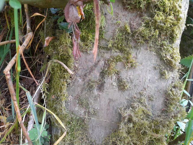
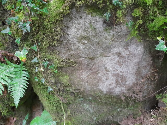
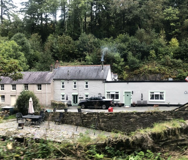
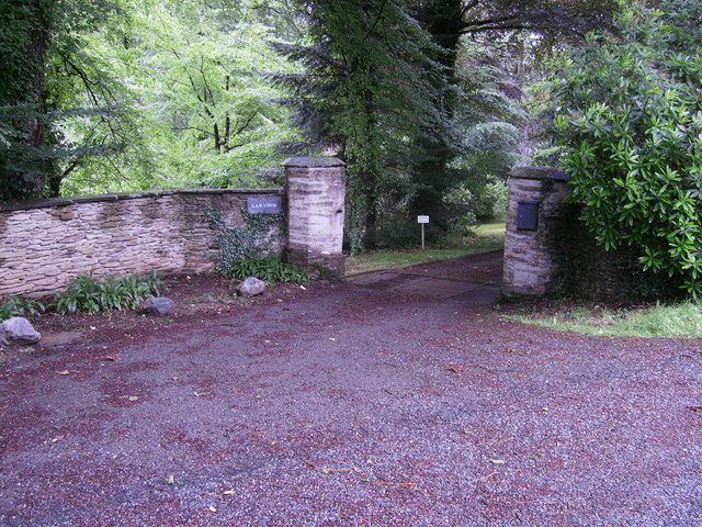
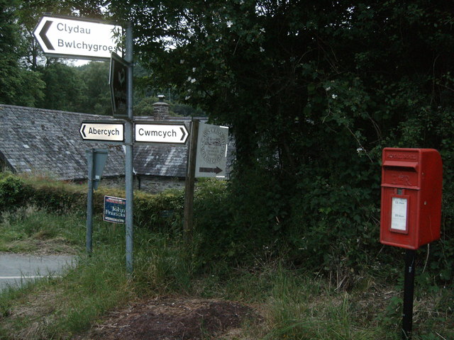
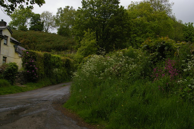
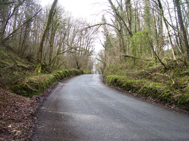
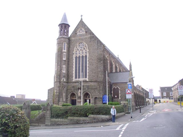
Allt Dygoed Images
Images are sourced within 2km of 52.004159/-4.5299791 or Grid Reference SN2636. Thanks to Geograph Open Source API. All images are credited.


Allt Dygoed is located at Grid Ref: SN2636 (Lat: 52.004159, Lng: -4.5299791)
Unitary Authority: Pembrokeshire
Police Authority: Dyfed Powys
What 3 Words
///confronts.chiefs.optimists. Near Newcastle Emlyn, Ceredigion
Nearby Locations
Related Wikis

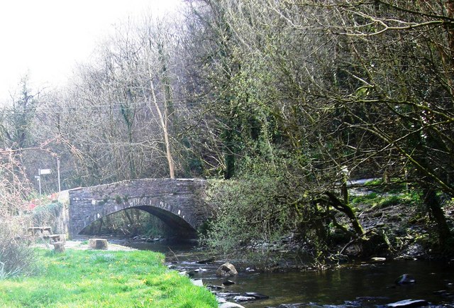
Pont Cych
Pont Cych is a single-arch, Grade II-listed bridge over Afon Cych at Cwmcych in the Cych Valley, bordering Carmarthenshire and Pembrokeshire, Wales....
Roman Catholic Diocese of Menevia
The Diocese of Menevia (Latin: Dioecesis Menevensis) is a Latin Church diocese of the Catholic Church in Wales. It is one of two suffragan dioceses in...
Cwmcych
Cwmcych, Cwm Cych or Glyn Cuch (Welsh for 'Valley of the river Cych') is a small village in the upper Cych valley straddling the border between Carmarthenshire...
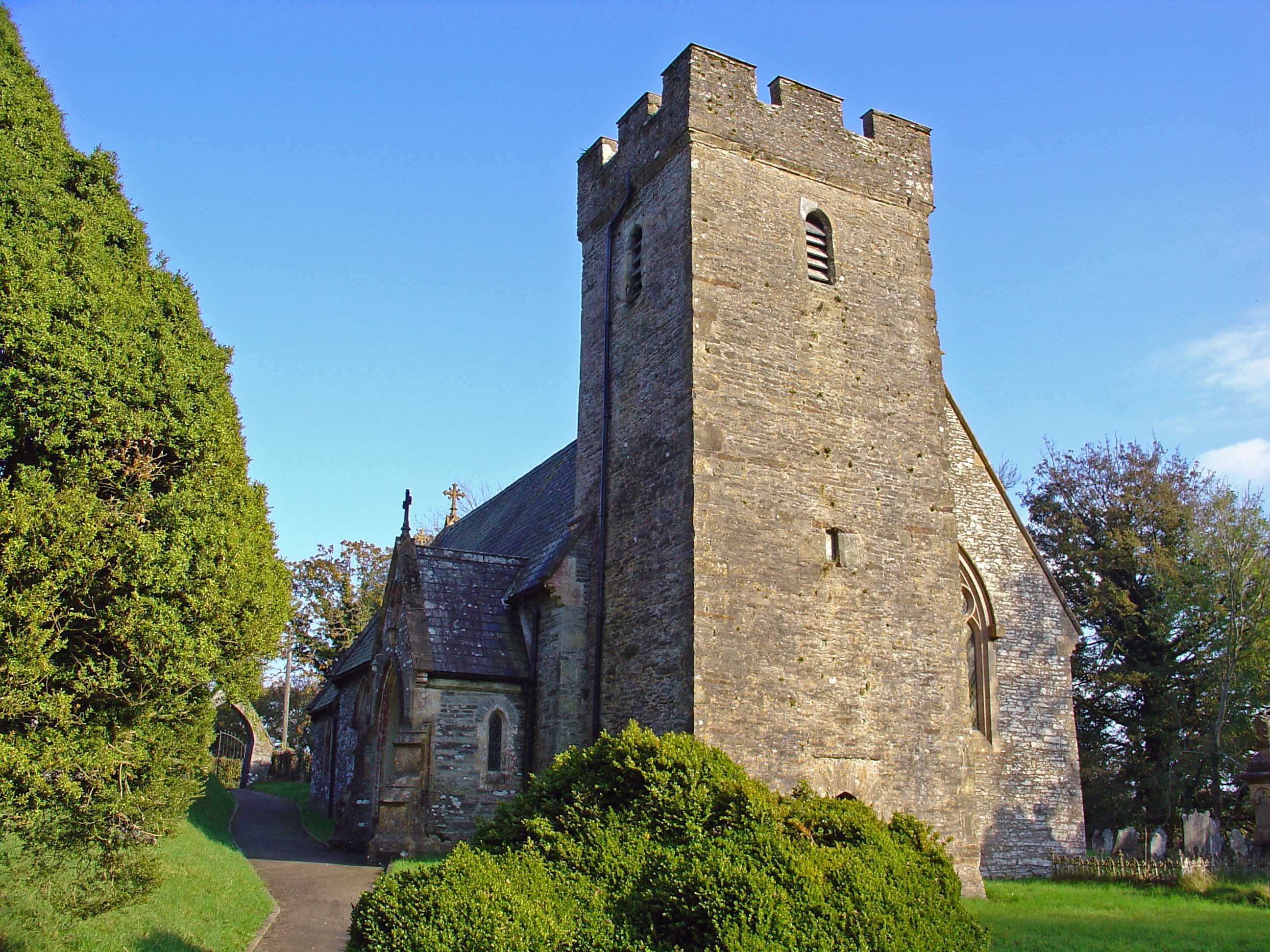
Clydau
Clydau (sometimes Clydaï or Clydey) is a community and parish in Pembrokeshire, Wales. == Name == The meaning of the Welsh placename is uncertain, although...
Nearby Amenities
Located within 500m of 52.004159,-4.5299791Have you been to Allt Dygoed?
Leave your review of Allt Dygoed below (or comments, questions and feedback).