Allt Pentregwine

Wood, Forest in Cardiganshire

Wales

Allt Pentregwine

Bridge At Cenarth Falls Looking towards a little cafe which may once have been an inn
Bridge At Cenarth Falls Credit: Deborah Tilley

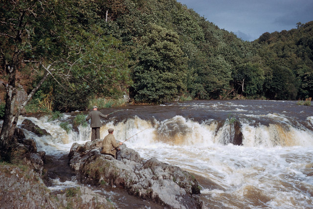
Allt Pentregwine is a picturesque woodland located in Cardiganshire, Wales. Covering an area of approximately [insert size], this forest is known for its lush greenery, diverse wildlife, and tranquil atmosphere. It is a popular destination for nature enthusiasts and those seeking a peaceful retreat from the hustle and bustle of everyday life.

The woodland is dominated by a mix of deciduous and coniferous trees, including oak, beech, and pine. These towering trees provide a dense canopy that filters sunlight and creates a cool, shaded environment below. The forest floor is covered in a thick layer of moss, ferns, and wildflowers, creating a vibrant carpet of colors.

Allt Pentregwine is home to a wide variety of wildlife, including deer, foxes, badgers, and a myriad of bird species. Birdwatchers can spot robins, finches, and woodpeckers flitting among the branches, while lucky visitors may even catch a glimpse of the elusive red squirrel.

The forest offers numerous walking trails that wind through its enchanting landscape, allowing visitors to explore its hidden corners and discover its natural beauty. These trails range in difficulty, catering to both casual strollers and experienced hikers. Along the way, visitors may come across small streams and waterfalls, adding to the overall serenity of the area.

Allt Pentregwine is a haven for nature lovers and provides a wonderful opportunity to immerse oneself in the tranquility of the Welsh countryside. Whether it's a leisurely stroll, birdwatching, or simply enjoying the sights and sounds of nature, this woodland offers a truly rejuvenating experience.

If you have any feedback on the listing, please let us know in the comments section below.

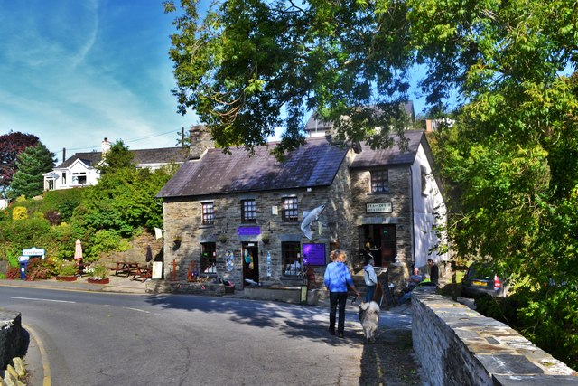
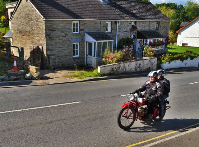
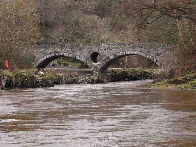
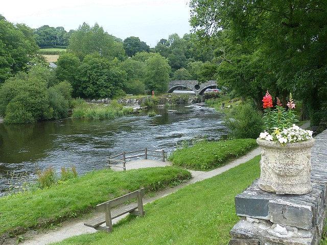
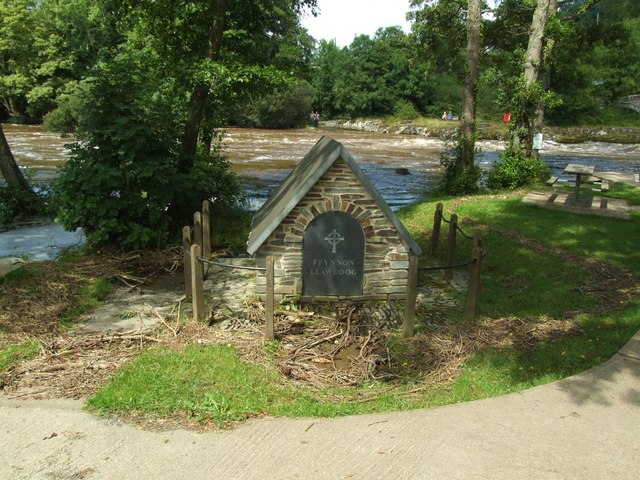
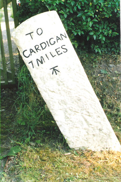
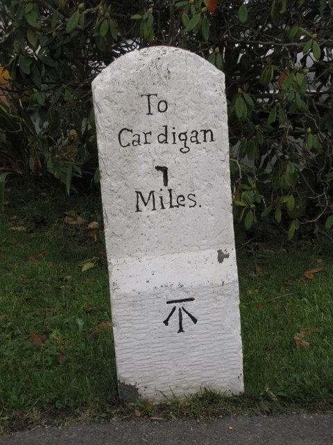
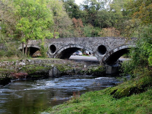
Allt Pentregwine Images

Images are sourced within 2km of 52.060331/-4.5406818 or Grid Reference SN2543. Thanks to Geograph Open Source API. All images are credited.

Bridge At Cenarth Falls Looking towards a little cafe which may once have been an inn
Bridge At Cenarth Falls
Looking towards a little cafe which may once have been an inn
Classic Motorbike At Cenarth Heading through the village towards Newcastle Emlyn
Classic Motorbike At Cenarth
Heading through the village towards Newcastle Emlyn
Afon Teifi and Cenarth Bridge
River Teifi at Cenarth The river here is the boundary between Carmarthenshire (near bank) and Ceredigion (far bank).

The River Teifi is the longest river which is wholly in Wales and flows 75 miles from its source in the Cambrian mountains to its estuary at Cardigan.
River Teifi at Cenarth
The river here is the boundary between Carmarthenshire (near bank) and Ceredigion (far bank). The River Teifi is the longest river which is wholly in Wales and flows 75 miles from its source in the Cambrian mountains to its estuary at Cardigan.
The holy well of Ffynnon Llawddog
Old Milestone by the B4570, south east of Capel Tygwydd Cardigan tombstone by the B4570, in parish of Beulah (Ceredigion District), by "Milestone", South East of Capel Tygwydd, in front of domestic hedge.

Inscription reads:-
TO
CARDIGAN
7 MILES
Carved bench mark below inscription.

Grade II listed by Cadw. Reference Number: 16822
<span class="nowrap"><a title="https://cadwpublic-api.azurewebsites.net/reports/listedbuilding/FullReport?lang=&id=16822" rel="nofollow ugc noopener" href="https://cadwpublic-api.azurewebsites.net/reports/listedbuilding/FullReport?lang=&id=16822">Link</a><img style="margin-left:2px;" alt="External link" title="External link - shift click to open in new window" src="https://s1.geograph.org.uk/img/external.png" width="10" height="10"/></span>

Surveyed

Milestone Society National ID: CRD_CALA07.
Old Milestone by the B4570, south east of Capel Tygwydd
Cardigan tombstone by the B4570, in parish of Beulah (Ceredigion District), by "Milestone", South East of Capel Tygwydd, in front of domestic hedge. Inscription reads:- TO CARDIGAN 7 MILES Carved bench mark below inscription. Grade II listed by Cadw. Reference Number: 16822 LinkExternal link Surveyed Milestone Society National ID: CRD_CALA07.
Old Milestone by the B4570, Nantgwgan, Beulah parish Cardigan tombstone by the B4570, in parish of Beulah (Ceredigion District), Nantgwgan, South of Ponthirwaun, on verge.

Inscription reads:-
TO
CARDIGAN
6 MILES
Carved bench mark middle face.

Grade II listed by Cadw.
Reference Number: 17974 <span class="nowrap"><a title="https://cadwpublic-api.azurewebsites.net/reports/listedbuilding/FullReport?lang=&id=17974" rel="nofollow ugc noopener" href="https://cadwpublic-api.azurewebsites.net/reports/listedbuilding/FullReport?lang=&id=17974">Link</a><img style="margin-left:2px;" alt="External link" title="External link - shift click to open in new window" src="https://s1.geograph.org.uk/img/external.png" width="10" height="10"/></span>

Surveyed

Milestone Society National ID: CRD_CALA06
Old Milestone by the B4570, Nantgwgan, Beulah parish
Cardigan tombstone by the B4570, in parish of Beulah (Ceredigion District), Nantgwgan, South of Ponthirwaun, on verge. Inscription reads:- TO CARDIGAN 6 MILES Carved bench mark middle face. Grade II listed by Cadw. Reference Number: 17974 LinkExternal link Surveyed Milestone Society National ID: CRD_CALA06
Old Milestone by the A484, Cenarth, Beulah parish Cardigan tombstone by the A484, in parish of Beulah (Ceredigion District), Cenarth, beside footpath, Northeast side of road.

Inscription reads:-
To
Cardigan
7
Miles
Carved bench mark on lower face.

Grade II listed by Cadw.
Reference Number: 17947 <span class="nowrap"><a title="https://cadwpublic-api.azurewebsites.net/reports/listedbuilding/FullReport?lang=&id=17947" rel="nofollow ugc noopener" href="https://cadwpublic-api.azurewebsites.net/reports/listedbuilding/FullReport?lang=&id=17947">Link</a><img style="margin-left:2px;" alt="External link" title="External link - shift click to open in new window" src="https://s1.geograph.org.uk/img/external.png" width="10" height="10"/></span>

Surveyed

Milestone Society National ID: CRD_CACM07
Old Milestone by the A484, Cenarth, Beulah parish
Cardigan tombstone by the A484, in parish of Beulah (Ceredigion District), Cenarth, beside footpath, Northeast side of road. Inscription reads:- To Cardigan 7 Miles Carved bench mark on lower face. Grade II listed by Cadw. Reference Number: 17947 LinkExternal link Surveyed Milestone Society National ID: CRD_CACM07
Cenarth Bridge Over the River Teifi.
Cenarth Bridge
Over the River Teifi.
Fishermen on Afon Teifi at Cenarth Falls Great to see fishermen at the falls, and there was also a coracle (but not photographed).
Fishermen on Afon Teifi at Cenarth Falls
Great to see fishermen at the falls, and there was also a coracle (but not photographed).
Milestone - Cardigan 7 The OS cut mark on the stone marks a point 17.593m above mean sea level.
Milestone - Cardigan 7
The OS cut mark on the stone marks a point 17.593m above mean sea level.
Ordnance Survey Rivet This OS rivet can be found on the east parapet of the Pont Cenarth. It marks a point 18.150m above mean sea level.
Ordnance Survey Rivet
This OS rivet can be found on the east parapet of the Pont Cenarth. It marks a point 18.150m above mean sea level.
Ordnance Survey Cut Mark This OS cut mark can be found on the water tap at the road junction. It marks a point 118.909m above mean sea level.
Ordnance Survey Cut Mark
This OS cut mark can be found on the water tap at the road junction. It marks a point 118.909m above mean sea level.
Ordnance Survey Cut Mark This hidden and damaged OS cut mark can be found on the gatepost east side of the road. It marks a point 101.517m above mean sea level.
Ordnance Survey Cut Mark
This hidden and damaged OS cut mark can be found on the gatepost east side of the road. It marks a point 101.517m above mean sea level.
Ordnance Survey Cut Mark This OS cut mark can be found on the gatepost NW side of the road. It marks a point 133.698m above mean sea level.
Ordnance Survey Cut Mark
This OS cut mark can be found on the gatepost NW side of the road. It marks a point 133.698m above mean sea level.
Cenarth Falls and Mill In summer, with a slightly lower flow in the River Teifi than almost all the other photos. The water mill is now the National Coracle Centre, and is a Grade II* Listed Building - see <span class="nowrap"><a title="https://cadwpublic-api.azurewebsites.net/reports/listedbuilding/FullReport?lang=&id=9723" rel="nofollow ugc noopener" href="https://cadwpublic-api.azurewebsites.net/reports/listedbuilding/FullReport?lang=&id=9723">Link</a><img style="margin-left:2px;" alt="External link" title="External link - shift click to open in new window" src="https://s1.geograph.org.uk/img/external.png" width="10" height="10"/></span>
Cenarth Falls and Mill
In summer, with a slightly lower flow in the River Teifi than almost all the other photos. The water mill is now the National Coracle Centre, and is a Grade II* Listed Building - see LinkExternal link
Ordnance Survey Cut Mark This OS cut mark can be found on the remains of the porch of the ruin of St Tygwydd's Church. It marks a point 44.720m above mean sea level.
Ordnance Survey Cut Mark
This OS cut mark can be found on the remains of the porch of the ruin of St Tygwydd's Church. It marks a point 44.720m above mean sea level.
Ordnance Survey 1GL Bolt This OS bolt can be found on the SW angle of the chapel. It marks a point 56.6178m above mean sea level.
Ordnance Survey 1GL Bolt
This OS bolt can be found on the SW angle of the chapel. It marks a point 56.6178m above mean sea level.
Show me another place!

Allt Pentregwine is located at Grid Ref: SN2543 (Lat: 52.060331, Lng: -4.5406818)

Unitary Authority: Ceredigion

Police Authority: Dyfed Powys

What 3 Words

///royal.messaging.self. Near Newcastle Emlyn, Ceredigion

Nearby Locations

Allt Pentregwine

Related Wikis

Rhyd, Ceredigion

Rhyd, Ceredigion is a hamlet in the community of Beulah, Ceredigion, Wales, which is 71.1 miles (114.4 km) from Cardiff and 192.9 miles (310.4 km) from...

Blaen-pant

Blaen-pant is a small village in the community of Beulah, Ceredigion, Wales, which is 71.5 miles (115 km) from Cardiff and 192.8 miles (310.3 km) from...

Capel Tygwydd

Capel Tygwydd is a hamlet in the community of Beulah, Ceredigion, Wales, which is 70.3 miles (113.1 km) from Cardiff and 191.7 miles (308.5 km) from London...

Llandygwydd

Llandygwydd is a small settlement in Ceredigion, west Wales, between Newcastle Emlyn and the town of Cardigan. == Amenities & History == A small stream...

Have you been to Allt Pentregwine?

Leave your review of Allt Pentregwine below (or comments, questions and feedback).