Allt Aber-deunant
Wood, Forest in Carmarthenshire
Wales
Allt Aber-deunant
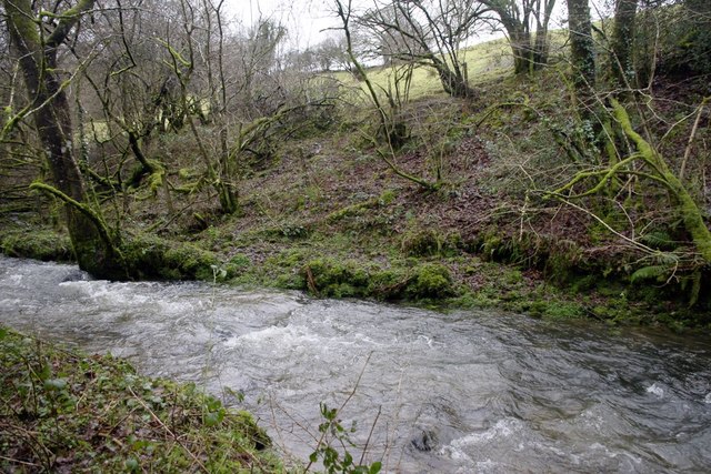
Allt Aber-deunant is a charming wood located in Carmarthenshire, Wales. Covering an area of approximately 12 hectares, it is a picturesque forest that offers breathtaking natural beauty and a tranquil atmosphere. The wood is situated in the Towy Valley, surrounded by rolling hills and meandering streams, adding to its idyllic setting.
One of the notable features of Allt Aber-deunant is its diverse range of tree species. The wood is home to a mix of both native and non-native trees, including oak, beech, ash, and silver birch. This variety creates a rich tapestry of colors during the changing seasons, providing visitors with a stunning visual display.
The wood also boasts a network of well-maintained paths, making it an ideal location for walking and hiking enthusiasts. These paths wind through the forest, allowing visitors to explore the area at their own pace while enjoying the peaceful ambiance. Along the trails, visitors may encounter various wildlife species, such as birds, squirrels, and rabbits, further enhancing the wood's natural appeal.
Allt Aber-deunant is a popular destination for nature lovers and outdoor enthusiasts, offering opportunities for activities like picnicking, photography, and nature observation. The wood's serene environment serves as a perfect retreat from the hustle and bustle of daily life, providing a space for relaxation and rejuvenation.
Overall, Allt Aber-deunant in Carmarthenshire is a captivating wood that showcases the beauty of nature. Its diverse tree species, well-maintained paths, and peaceful atmosphere make it a must-visit destination for anyone seeking a tranquil woodland experience.
If you have any feedback on the listing, please let us know in the comments section below.
Allt Aber-deunant Images
Images are sourced within 2km of 51.935789/-4.5344654 or Grid Reference SN2529. Thanks to Geograph Open Source API. All images are credited.


Allt Aber-deunant is located at Grid Ref: SN2529 (Lat: 51.935789, Lng: -4.5344654)
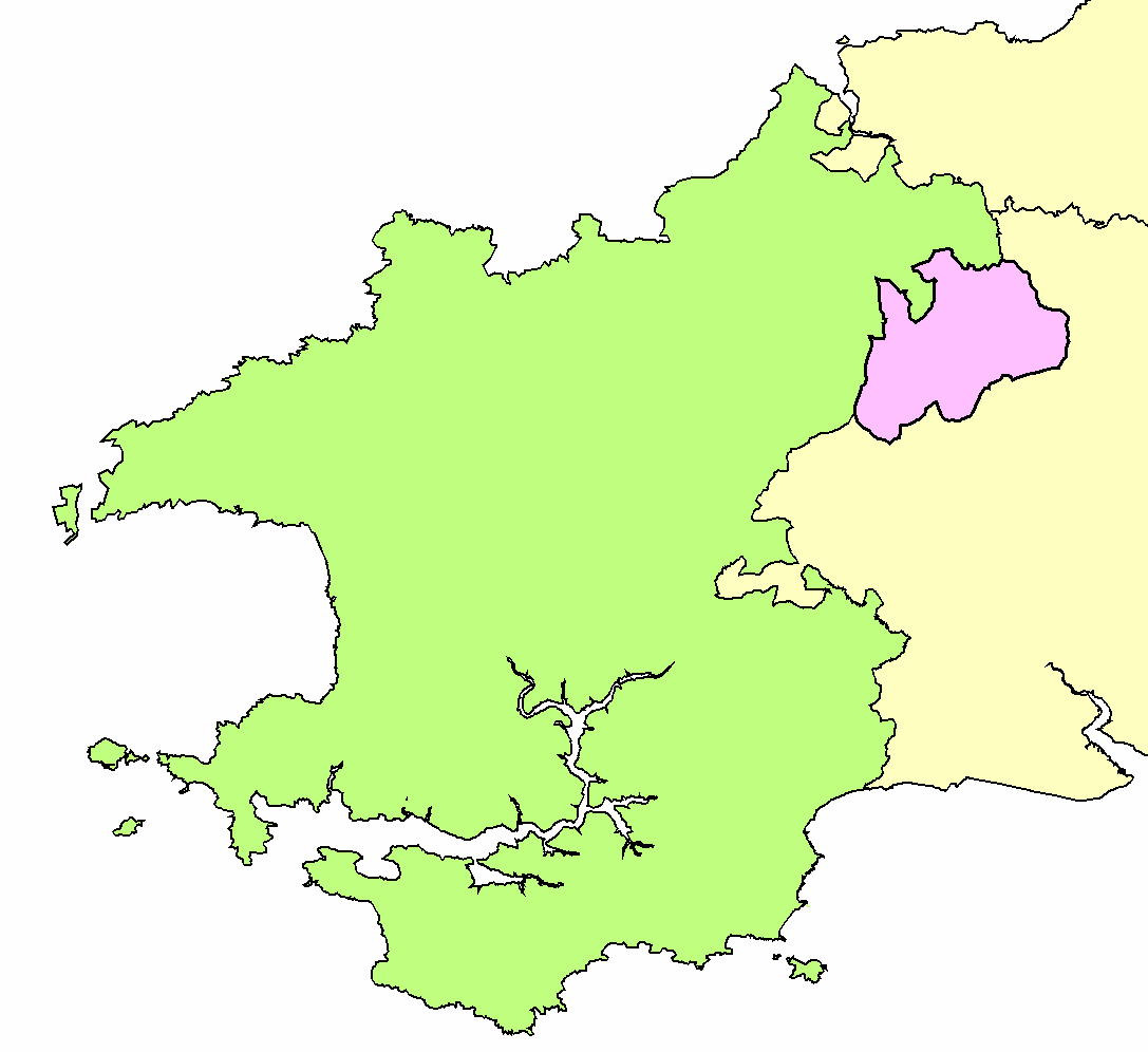
Unitary Authority: Carmarthenshire
Police Authority: Dyfed Powys
What 3 Words
///purifier.propelled.survivor. Near Trelech, Carmarthenshire
Related Wikis

Dyfed
Dyfed (Welsh pronunciation: [ˈdəvɛd]) is a preserved county in southwestern Wales. It is a mostly rural area with a coastline on the Irish Sea and the...

Llanwinio
Llanwinio is a village and community in Carmarthenshire, Wales, 2.7 miles (4.3 km) north of the hamlet of Gellywen. The population recorded at the 2011...

Trelech
Trelech (Welsh: Tre-lech) is a village in the parish of Tre-lech a'r Betws, Carmarthenshire, in south-west Wales. It is also the name of the community...
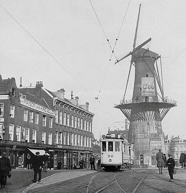
De Noord (Rotterdam)
De Noord (English: The North) was a tower mill located on the Oostplein in Rotterdam, Netherlands. It was built between 1695 and 1711 as a replacement...

Blaenwaun
Blaenwaun is a small village in Carmarthenshire, Wales, 11 km (7 mi) north of Whitland. It is one of the five villages of Llanwinio parish, in the diocese...
Llanfyrnach Rural District
Llanfyrnach Rural District was an administrative division of Pembrokeshire, Wales. == Creation == Llanfyrnach Rural District Council was created in 1894...

Llanfyrnach railway station
Llanfyrnach railway station served the village of Llanfyrnach, Pembrokeshire, Wales, from 1875 to 1963 on the Whitland and Cardigan Railway. == History... ==
Llanfyrnach
Llanfyrnach () is a village and parish in Pembrokeshire, Wales. The village is in the electoral ward and community of Crymych. The village of Crymych and...
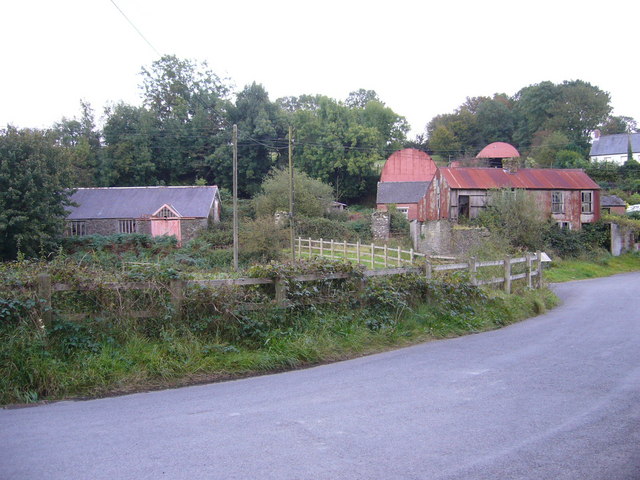
Nearby Amenities
Located within 500m of 51.935789,-4.5344654Have you been to Allt Aber-deunant?
Leave your review of Allt Aber-deunant below (or comments, questions and feedback).