Allt Cil-Frychan

Wood, Forest in Pembrokeshire

Wales

Allt Cil-Frychan

Old pig styes on the Ffynone estate Interesting range of three old pig styes (unoccupied) beside a PROW in the vicinity of Cwm Blaen Bwlan. The walls of the pens are constructed of solid slate slabs.
Old pig styes on the Ffynone estate Credit: Natasha Ceridwen de Chroustchoff

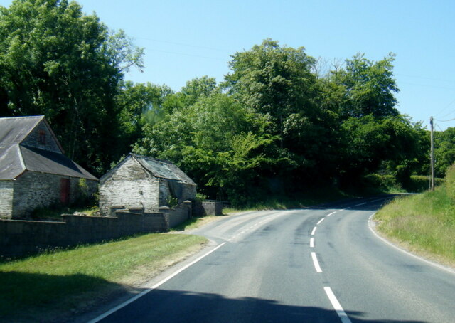
Allt Cil-Frychan is a picturesque wood located in Pembrokeshire, Wales. Nestled in the heart of the county, it covers an area of approximately 100 acres and is renowned for its natural beauty and diverse ecosystem.

The wood is primarily composed of native broadleaf trees, including oak, ash, and beech, which create a lush canopy overhead. These trees provide a habitat for a wide variety of animal and plant species, making Allt Cil-Frychan a haven for nature enthusiasts and conservationists alike.

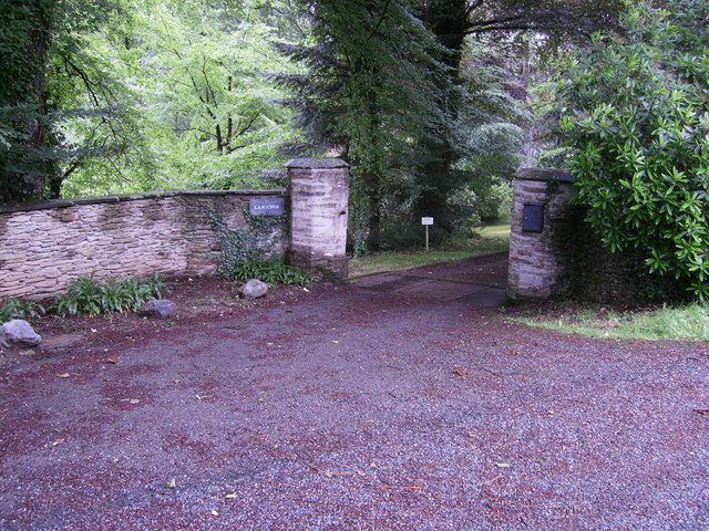
Tranquil walking paths wind through the wood, offering visitors the opportunity to explore its enchanting surroundings. As they wander along the well-maintained trails, visitors may encounter carpets of wildflowers, ancient stone walls, and babbling brooks that meander through the trees. The sound of birdsong fills the air, as numerous avian species, such as woodpeckers and warblers, call the wood their home.

Allt Cil-Frychan also holds historical significance, with remnants of an Iron Age hillfort visible within its boundaries. These ancient fortifications offer a glimpse into the area's rich past and provide a sense of wonder and mystery to those who visit.

The wood is open to the public year-round, and its accessibility makes it a popular destination for families, hikers, and nature lovers. Whether seeking a peaceful retreat or an educational adventure, Allt Cil-Frychan is a delightful destination that showcases the natural beauty and cultural heritage of Pembrokeshire.

If you have any feedback on the listing, please let us know in the comments section below.

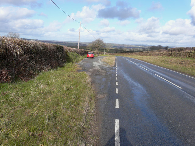
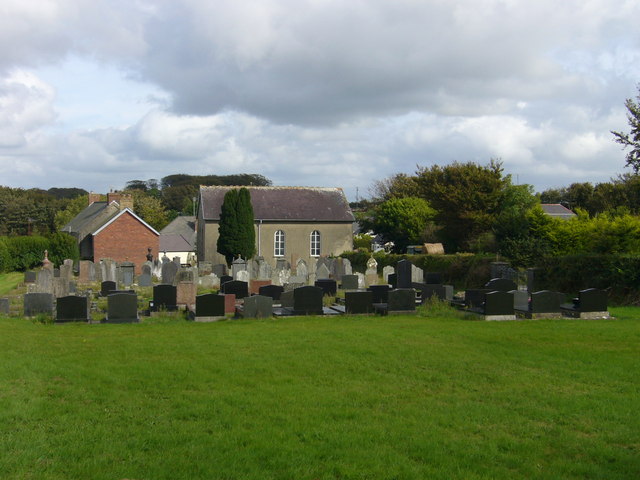
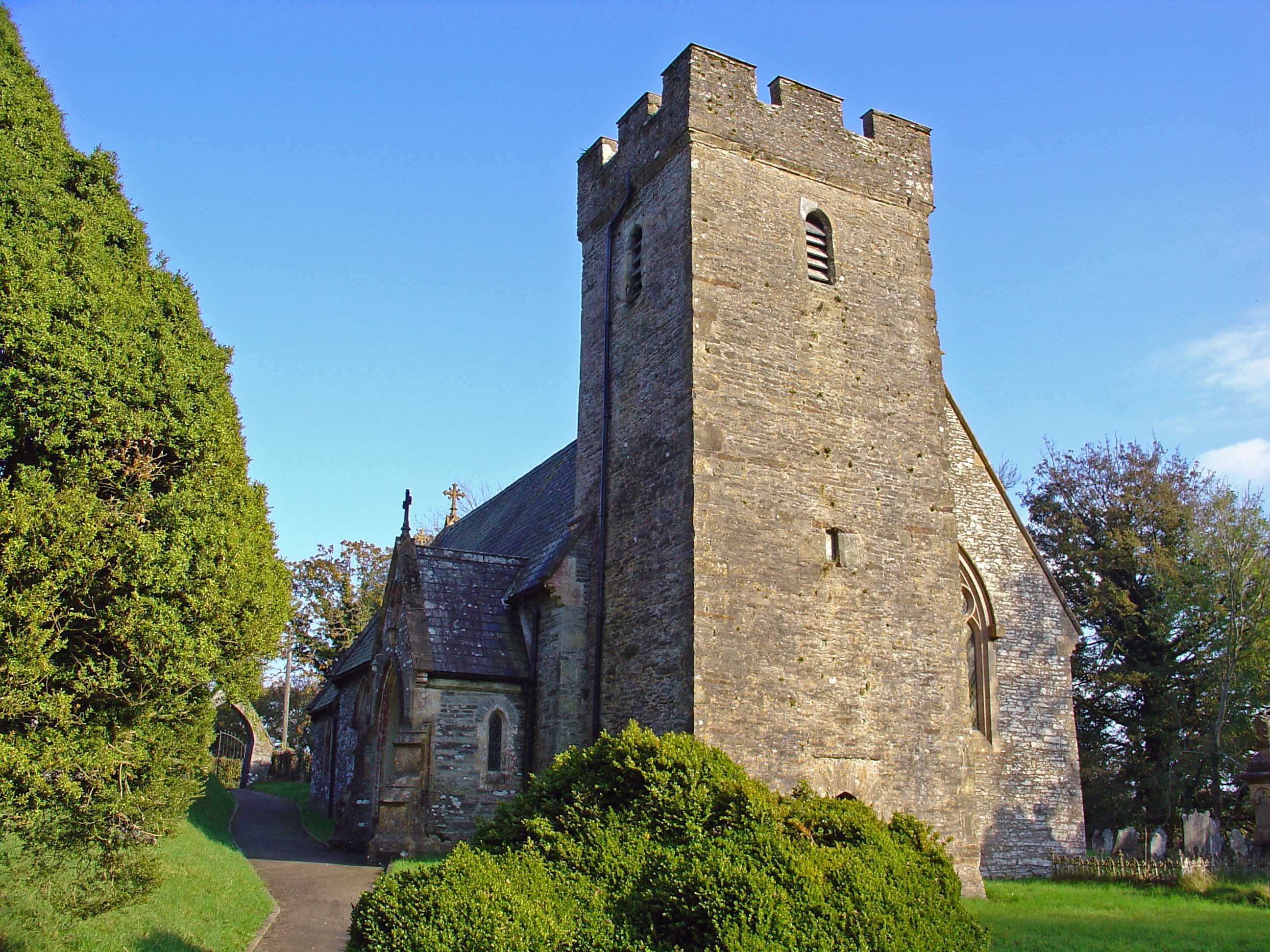
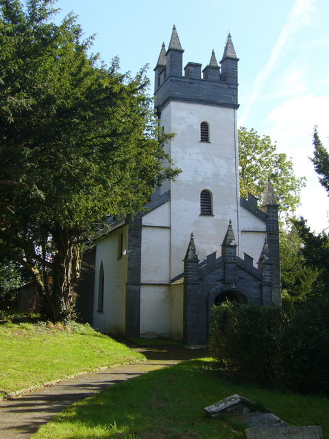
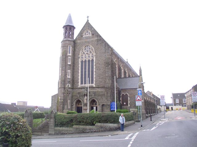
Allt Cil-Frychan Images

Images are sourced within 2km of 52.016526/-4.551942 or Grid Reference SN2438. Thanks to Geograph Open Source API. All images are credited.

Old pig styes on the Ffynone estate Interesting range of three old pig styes (unoccupied) beside a PROW in the vicinity of Cwm Blaen Bwlan. The walls of the pens are constructed of solid slate slabs.
Old pig styes on the Ffynone estate
Interesting range of three old pig styes (unoccupied) beside a PROW in the vicinity of Cwm Blaen Bwlan. The walls of the pens are constructed of solid slate slabs.
B4332 at Blaen-morw
B4332 at Blaen-morw
New Years Day celebrations outside The Nag's Head Abercych Carreg-las Morris Dancers performing outside The Nag's Head, a fine hostelry, New Year's Day 2012.
New Years Day celebrations outside The Nag's Head Abercych
Carreg-las Morris Dancers performing outside The Nag's Head, a fine hostelry, New Year's Day 2012.
Holiday cabins, Aberdwylan
Entrance to Lan Cych Lan Cych entrance, cattle grid to stop animals getting in or out, very picturesque area with many holiday properties, popular with walkers.
Entrance to Lan Cych
Lan Cych entrance, cattle grid to stop animals getting in or out, very picturesque area with many holiday properties, popular with walkers.
Ruin on road side Small derelict dwelling in what looks like a small quarry.
Ruin on road side
Small derelict dwelling in what looks like a small quarry.
Ruin on road side The front entrance of this small ruin, on the edge of Bridgend Wood.
Ruin on road side
The front entrance of this small ruin, on the edge of Bridgend Wood.
Profusion of signs! Cross roads sign, Caws Cenarth Welsh Cheese sign, For Sale sign, a brown sign for Clydey Country Cottages, and a post box
Profusion of signs!
Cross roads sign, Caws Cenarth Welsh Cheese sign, For Sale sign, a brown sign for Clydey Country Cottages, and a post box
Lancych Fach house sign Continuing from <a href="https://www.geograph.org.uk/photo/3017624">SN2638 : Profusion of signs!</a> sign for the property that is for sale, Lancych Fach.
Lancych Fach house sign
Continuing from SN2638 : Profusion of signs! sign for the property that is for sale, Lancych Fach.
Lan Cych house Well masked by trees, this property is most noticeable when the sun shines on it!
Lan Cych house
Well masked by trees, this property is most noticeable when the sun shines on it!
Entrance through trees to Glandulais This entrance looks like it is not used often, photo taken from bridge on road. Glandulais is not shown on the map!
Entrance through trees to Glandulais
This entrance looks like it is not used often, photo taken from bridge on road. Glandulais is not shown on the map!
Bridge over Afon Dulais Small tributary of the Afon Cych, at Pont Dulais.
Bridge over Afon Dulais
Small tributary of the Afon Cych, at Pont Dulais.
Nags Head Brewery Man with reflective bands around him!!! And a very nice drop of home-brewed beer served in the Nags Head pub next door.
Nags Head Brewery
Man with reflective bands around him!!! And a very nice drop of home-brewed beer served in the Nags Head pub next door.
Bryn Sion Plaque on Chapel wall reads (I think), Bryn Sion, Adeilodwyd 1831,  Adgyweirwyd 1870.
Bryn Sion
Plaque on Chapel wall reads (I think), Bryn Sion, Adeilodwyd 1831, Adgyweirwyd 1870.
Bryn Sion Capel Building on the left, could this be mortuary? as there is access from the road into the lower part of it and above this is a small room for tools and timber for the grave digger or groundsman, accessed from the graveyard.
Bryn Sion Capel
Building on the left, could this be mortuary? as there is access from the road into the lower part of it and above this is a small room for tools and timber for the grave digger or groundsman, accessed from the graveyard.
Lay-by on the B4332 I stopped here for yet another photo of a beautiful Welsh landscape.
Lay-by on the B4332
I stopped here for yet another photo of a beautiful Welsh landscape.
View across the valley of Afon Cych From Glyneithinog Farm (home to the Caws Cenarth cheese-making concern).
View across the valley of Afon Cych
From Glyneithinog Farm (home to the Caws Cenarth cheese-making concern).
Field above Glyneithinog
Show me another place!

Allt Cil-Frychan is located at Grid Ref: SN2438 (Lat: 52.016526, Lng: -4.551942)

Unitary Authority: Pembrokeshire

Police Authority: Dyfed Powys

What 3 Words

///limits.streetcar.curious. Near Newcastle Emlyn, Ceredigion

Related Wikis

Pont Treseli

Pont Treseli or Pont Tre-seli is a Grade II-listed single-arch stone bridge spanning Afon Cych at Abercych, Pembrokeshire, Wales. It carries the B4332...
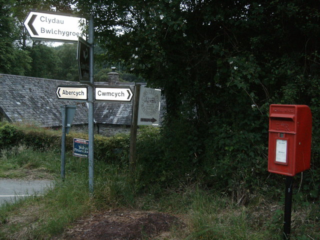
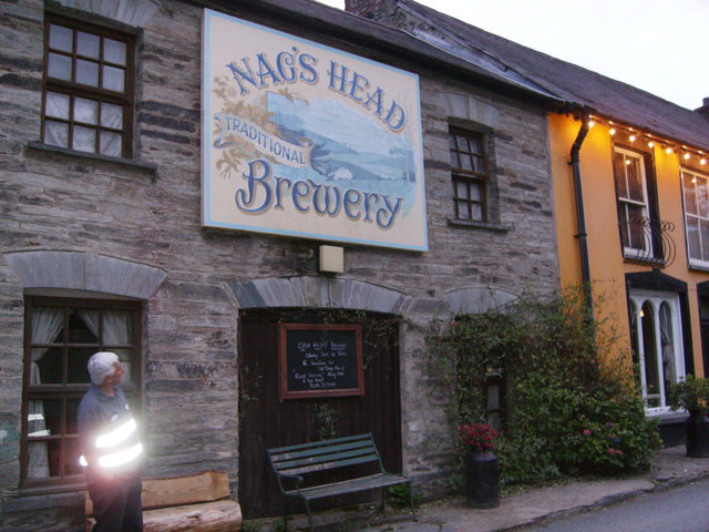
Abercych

Abercych (or Abercuch, Welsh pronunciation: [ɑbərkiːx]) is a small village in the community of Manordeifi, northeast Pembrokeshire in South West Wales...

Bwlchygroes

Bwlchygroes (; sometimes spelled Bwlch-y-groes) is a small upland rural village in the community and parish of Clydau, north Pembrokeshire, Wales, 5 miles...

Cemaes Rural District

Cemaes Rural District was an administrative subdivision of Pembrokeshire, Wales from 1934 to 1974. == Name == The district's name is that of its northernmost...

Clydau

Clydau (sometimes Clydaï or Clydey) is a community and parish in Pembrokeshire, Wales. == Name == The meaning of the Welsh placename is uncertain, although...

Cilgerran Hundred

The Hundred of Cilgerran (often written "Kilgerran") was a hundred in the north of Pembrokeshire, Wales. It was formed by the Act of Union of 1536 from...

Capel Colman

Capel Colman is a parish in northeast Pembrokeshire, Wales, in the community of Boncath. Formerly in the Hundred of Cilgerran, Capel Colman is a small...

Roman Catholic Diocese of Menevia

The Diocese of Menevia (Latin: Dioecesis Menevensis) is a Latin Church diocese of the Catholic Church in Wales. It is one of two suffragan dioceses in...

Nearby Amenities

Located within 500m of 52.016526,-4.551942
Ford: yes
Lat/Long: 52.0159399/-4.5558482
Archaeological Site: fortification
Fortification Type: promontory_fort
Historic: archaeological_site
Url: http://www.coflein.gov.uk/en/site/411823/details/ffynone-wood-promontory-fort
Lat/Long: 52.0157683/-4.5586074
Give Way
Direction: backward
Lat/Long: 52.0139744/-4.5547587
The data included in this document is from www.openstreetmap.org. The data is made available under ODbL.

Have you been to Allt Cil-Frychan?

Leave your review of Allt Cil-Frychan below (or comments, questions and feedback).