Allt Llwynduris
Wood, Forest in Cardiganshire
Wales
Allt Llwynduris

Allt Llwynduris is a captivating woodland located in Cardiganshire, Wales. Spanning over a considerable area, it is a haven for nature enthusiasts and those seeking solace amidst the beauty of nature. The wood is situated in a picturesque valley, surrounded by rolling hills and meandering streams.
The forest boasts an impressive variety of tree species, including oak, beech, and ash, creating a diverse and lush environment. The dense canopy of the trees provides shelter for a myriad of wildlife, making it a prime spot for birdwatching and animal sightings. Visitors can catch glimpses of red kites soaring high above, while squirrels scurry across the forest floor.
The wood offers numerous walking trails, allowing visitors to explore its enchanting beauty at their own pace. These trails wind through the forest, leading to hidden clearings and stunning viewpoints, where one can marvel at the breathtaking vistas of the surrounding countryside.
Allt Llwynduris also holds historical significance, with remnants of ancient settlements and burial grounds scattered throughout the woodland. Archaeological enthusiasts can delve into the rich history of the area, uncovering the stories of those who once called this place home.
For those seeking tranquility and a connection with nature, Allt Llwynduris is a must-visit destination. Its serene atmosphere, striking landscapes, and abundant wildlife make it a truly remarkable woodland experience in the heart of Cardiganshire.
If you have any feedback on the listing, please let us know in the comments section below.
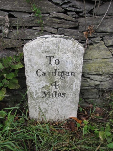
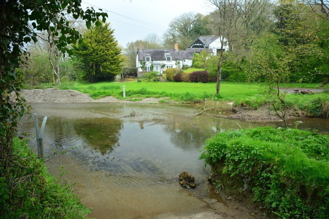
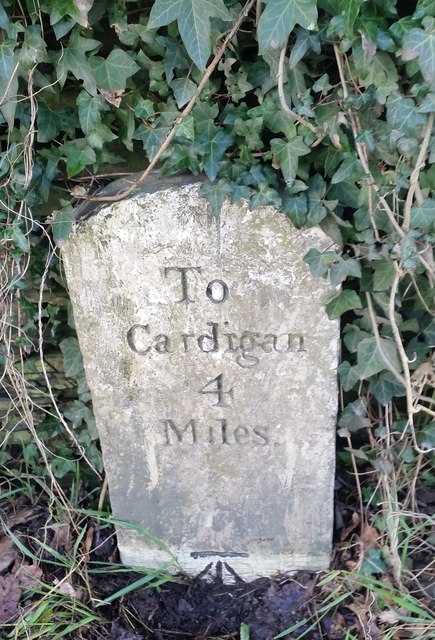
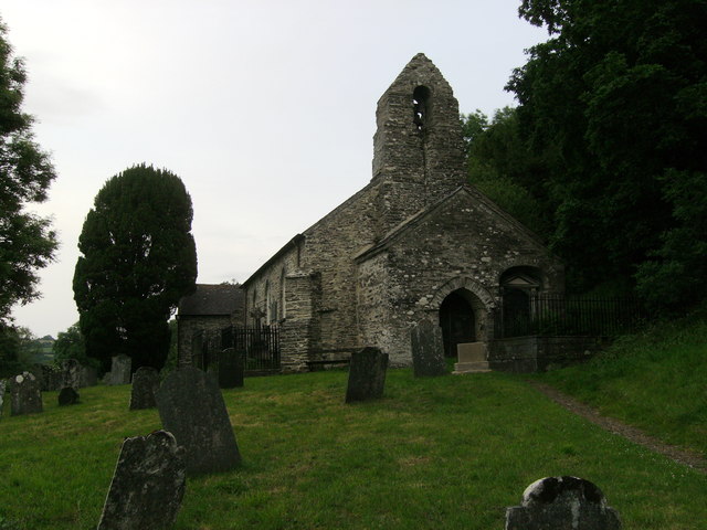
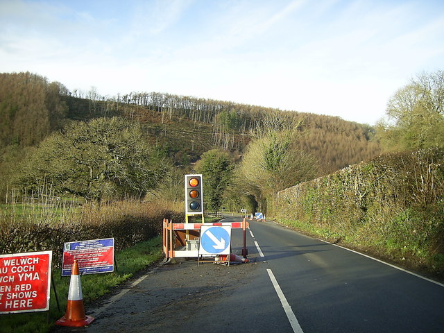
Allt Llwynduris Images
Images are sourced within 2km of 52.057048/-4.5639532 or Grid Reference SN2442. Thanks to Geograph Open Source API. All images are credited.


Allt Llwynduris is located at Grid Ref: SN2442 (Lat: 52.057048, Lng: -4.5639532)
Unitary Authority: Ceredigion
Police Authority: Dyfed Powys
What 3 Words
///iterative.give.repaying. Near Newcastle Emlyn, Ceredigion
Nearby Locations
Related Wikis

Llandygwydd
Llandygwydd is a small settlement in Ceredigion, west Wales, between Newcastle Emlyn and the town of Cardigan. == Amenities & History == A small stream...

Rhyd, Ceredigion
Rhyd, Ceredigion is a hamlet in the community of Beulah, Ceredigion, Wales, which is 71.1 miles (114.4 km) from Cardiff and 192.9 miles (310.4 km) from...
Pen-y-lan, Ceredigion
Pen-y-lan, Ceredigion is a hamlet in the community of Beulah, Ceredigion, Wales, which is 72.1 miles (116.1 km) from Cardiff and 193.9 miles (312 km) from...
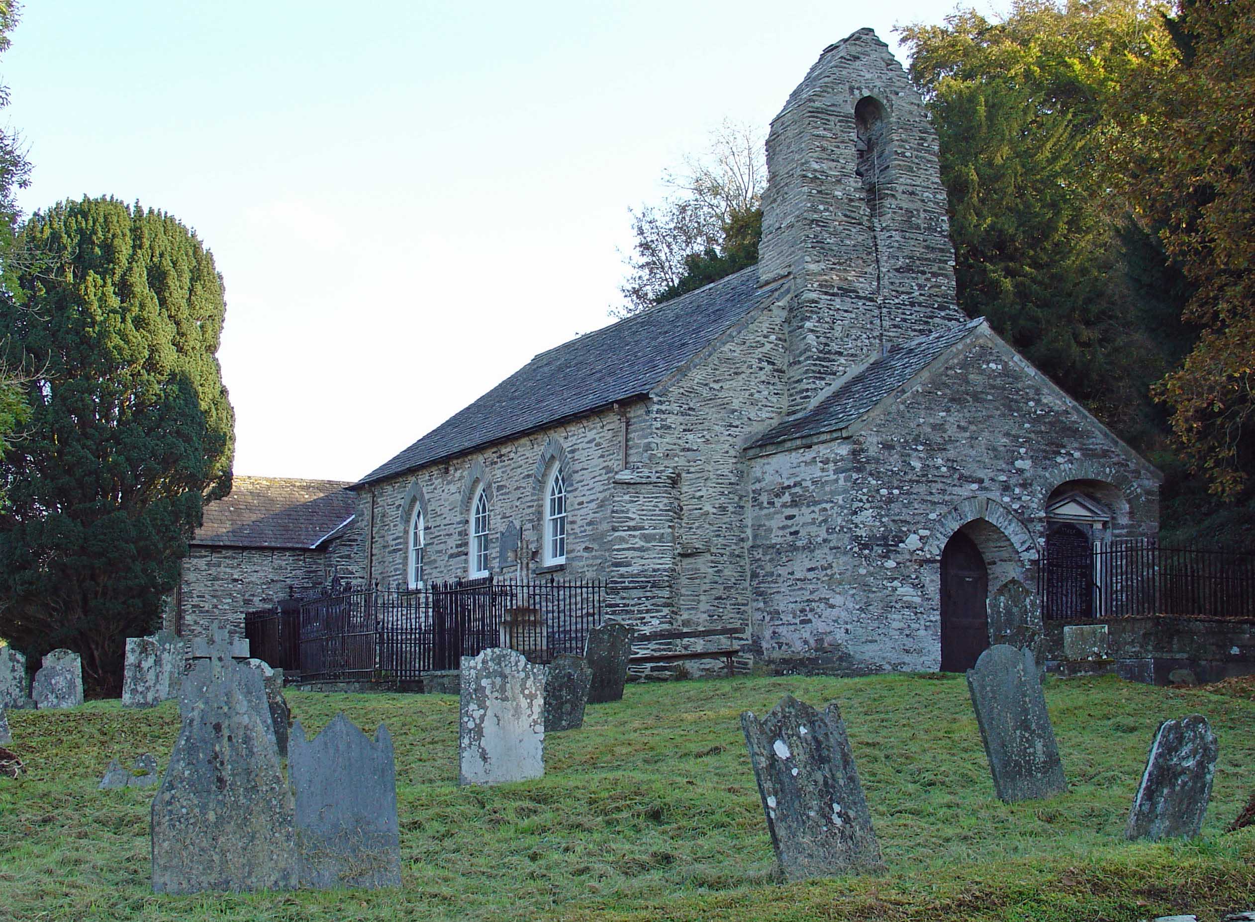
Manordeifi Old Church
Manordeifi Old Church is a redundant church in Manordeifi, Pembrokeshire, Wales. It is designated by Cadw as a Grade II* listed building, and is under...
Nearby Amenities
Located within 500m of 52.057048,-4.5639532Have you been to Allt Llwynduris?
Leave your review of Allt Llwynduris below (or comments, questions and feedback).