Coed Caerdydd
Wood, Forest in Caernarfonshire
Wales
Coed Caerdydd
Coed Caerdydd, located in Caernarfonshire, is a picturesque woodland area renowned for its natural beauty and diverse range of flora and fauna. Covering approximately 500 acres, this enchanting forest is a popular destination for nature enthusiasts, hikers, and those seeking a peaceful retreat.
The woodland boasts a rich history, with some parts dating back centuries. It is believed that Coed Caerdydd was once a hunting ground for the medieval Welsh princes. Today, remnants of this past can still be seen in the form of ancient oak trees that have stood the test of time.
The forest is home to a plethora of wildlife, making it a haven for birdwatchers and wildlife photographers. The dense canopy provides a habitat for various bird species, including woodpeckers, owls, and warblers. Mammals such as foxes, badgers, and squirrels also call this woodland their home.
A network of well-maintained trails weaves through the forest, offering visitors the opportunity to explore its hidden treasures. These paths cater to all levels of fitness and are suitable for both leisurely strolls and more challenging hikes. Along the way, hikers can enjoy breathtaking views of the surrounding countryside and even catch a glimpse of the nearby Snowdonia National Park.
Coed Caerdydd truly offers a sanctuary of peace and tranquility, where visitors can immerse themselves in nature and escape the hustle and bustle of everyday life. Whether it is for a leisurely walk, birdwatching, or simply enjoying the beauty of this ancient woodland, Coed Caerdydd is a must-visit destination for nature lovers and those seeking solace in the great outdoors.
If you have any feedback on the listing, please let us know in the comments section below.
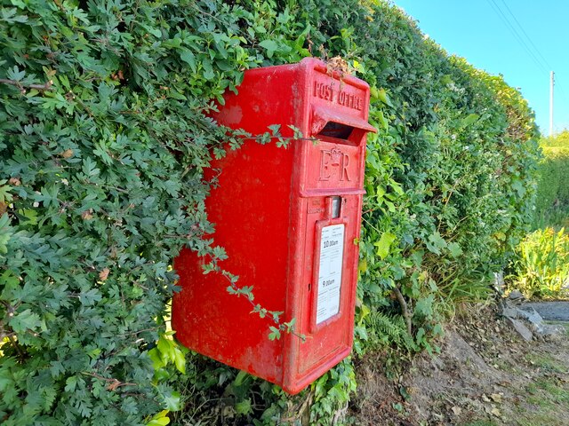
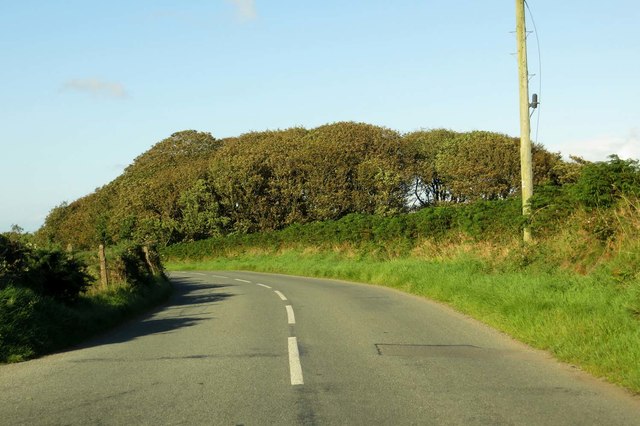
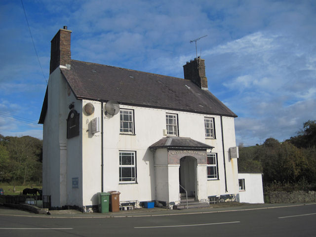
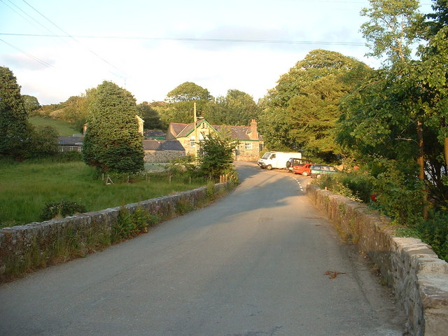
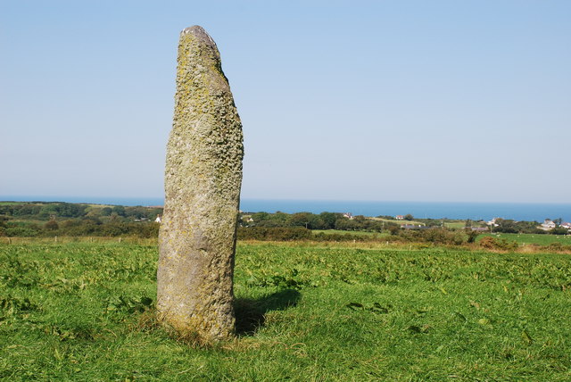
Coed Caerdydd Images
Images are sourced within 2km of 52.879042/-4.6159047 or Grid Reference SH2434. Thanks to Geograph Open Source API. All images are credited.


Coed Caerdydd is located at Grid Ref: SH2434 (Lat: 52.879042, Lng: -4.6159047)
Unitary Authority: Gwynedd
Police Authority: North Wales
What 3 Words
///primed.stunt.awakening. Near Nefyn, Gwynedd
Nearby Locations
Related Wikis

St Mary's Church, Penllech
St Mary's Church, Penllech, is a redundant church in the village of Penllech, Gwynedd, Wales. It is designated by Cadw as a Grade II* listed building...
Sarn Meyllteyrn
Sarn Meyllteyrn is a village and former civil parish (known at the time as Mellteyrn) in the Welsh county of Gwynedd. It is in the west of the Llŷn Peninsula...

Tudweiliog
Tudweiliog is a small, predominantly Welsh-speaking village, community and electoral ward on the northern coast of the Llŷn Peninsula in the Welsh county...

Penllech
Penllech is a hamlet and former civil parish in the Welsh county of Gwynedd. The parish was abolished in 1934, and incorporated into Tudweiliog. ��2...
Llaniestyn, Gwynedd
Llaniestyn is a village and former civil parish in the Welsh county of Gwynedd. The parish was abolished in 1934, and divided between Tudweiliog and Botwnnog...

Bryncroes
Bryncroes is a hamlet and former civil parish in Gwynedd in Wales, and lies on the Llŷn Peninsula approximately 2 km west of Sarn Meyllteyrn. The parish...
Llangwnnadl
Llangwnnadl is a village and former civil parish in the Welsh county of Gwynedd. The parish was abolished in 1934, and incorporated into Tudweiliog....
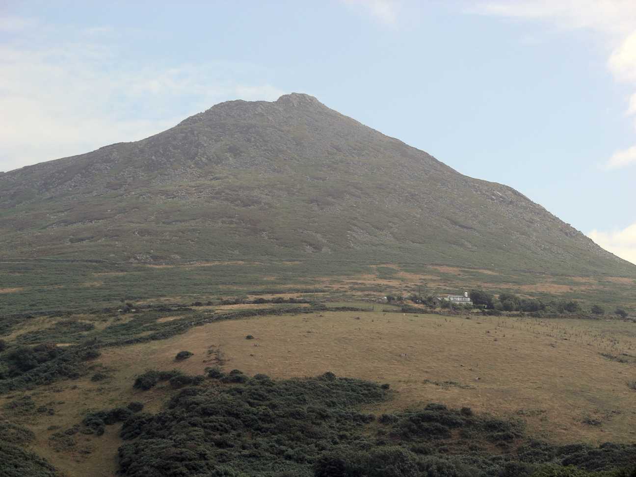
Carn Fadryn
Carn Fadryn, sometimes Carn Fadrun or Garn Fadryn, is a five-hectare Iron Age hillfort and is the name of the mountain on which the fort is situated. It...
Nearby Amenities
Located within 500m of 52.879042,-4.6159047Have you been to Coed Caerdydd?
Leave your review of Coed Caerdydd below (or comments, questions and feedback).