Cross Roads Covert

Wood, Forest in Pembrokeshire

Wales

Cross Roads Covert

Old pig styes on the Ffynone estate Interesting range of three old pig styes (unoccupied) beside a PROW in the vicinity of Cwm Blaen Bwlan. The walls of the pens are constructed of solid slate slabs.
Old pig styes on the Ffynone estate Credit: Natasha Ceridwen de Chroustchoff

Cross Roads Covert is a picturesque woodland located in Pembrokeshire, Wales. Situated near the small village of Cross Roads, it covers an area of approximately 100 acres, encompassing a diverse range of flora and fauna.

The woodland is predominantly composed of native broadleaf trees, such as oak, beech, and ash, which create a dense canopy that provides shelter for numerous woodland creatures. The forest floor is adorned with a vibrant carpet of bluebells, wild garlic, and ferns during the spring season, adding to its natural beauty.

Cross Roads Covert is a haven for wildlife enthusiasts and nature lovers. It is home to a variety of bird species, including woodpeckers, owls, and thrushes, which can be spotted and heard throughout the year. The presence of these birds makes it an ideal location for birdwatching.

The woodland also supports a rich diversity of mammals, including badgers, foxes, and deer. These animals can occasionally be observed by visitors, particularly during the early morning or late evening when they are most active.

The covert offers several walking trails, allowing visitors to explore the woodland at their own pace. These trails are well-maintained and provide access to the woodland's most scenic spots, including a small stream that meanders through the area.

Cross Roads Covert is a peaceful retreat, offering visitors a chance to immerse themselves in the beauty of nature. Its tranquil atmosphere and abundance of wildlife make it a popular destination for nature enthusiasts and those seeking respite from the hustle and bustle of everyday life.

If you have any feedback on the listing, please let us know in the comments section below.

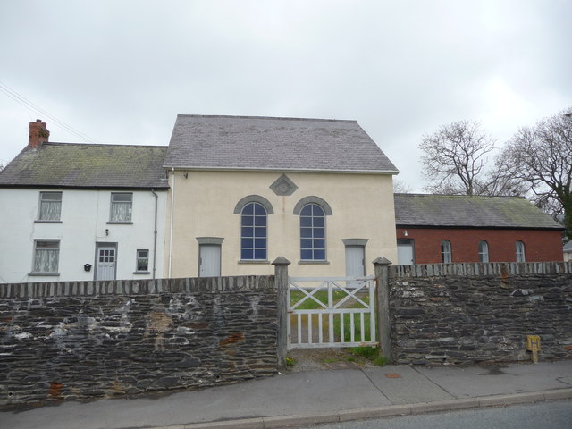
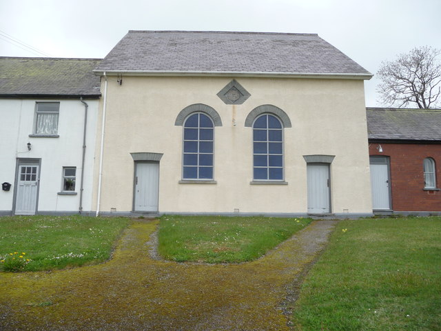
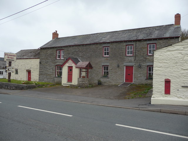
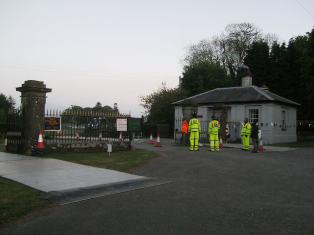
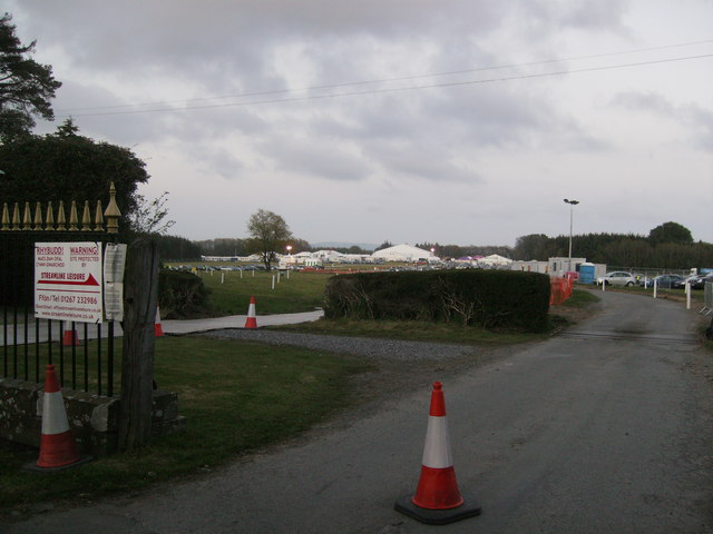
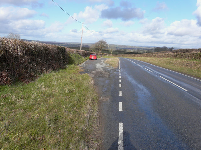
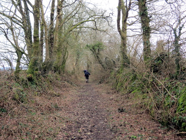
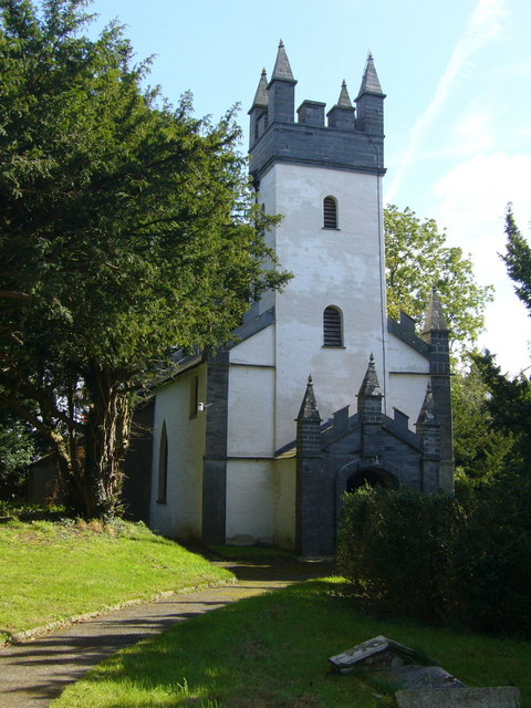
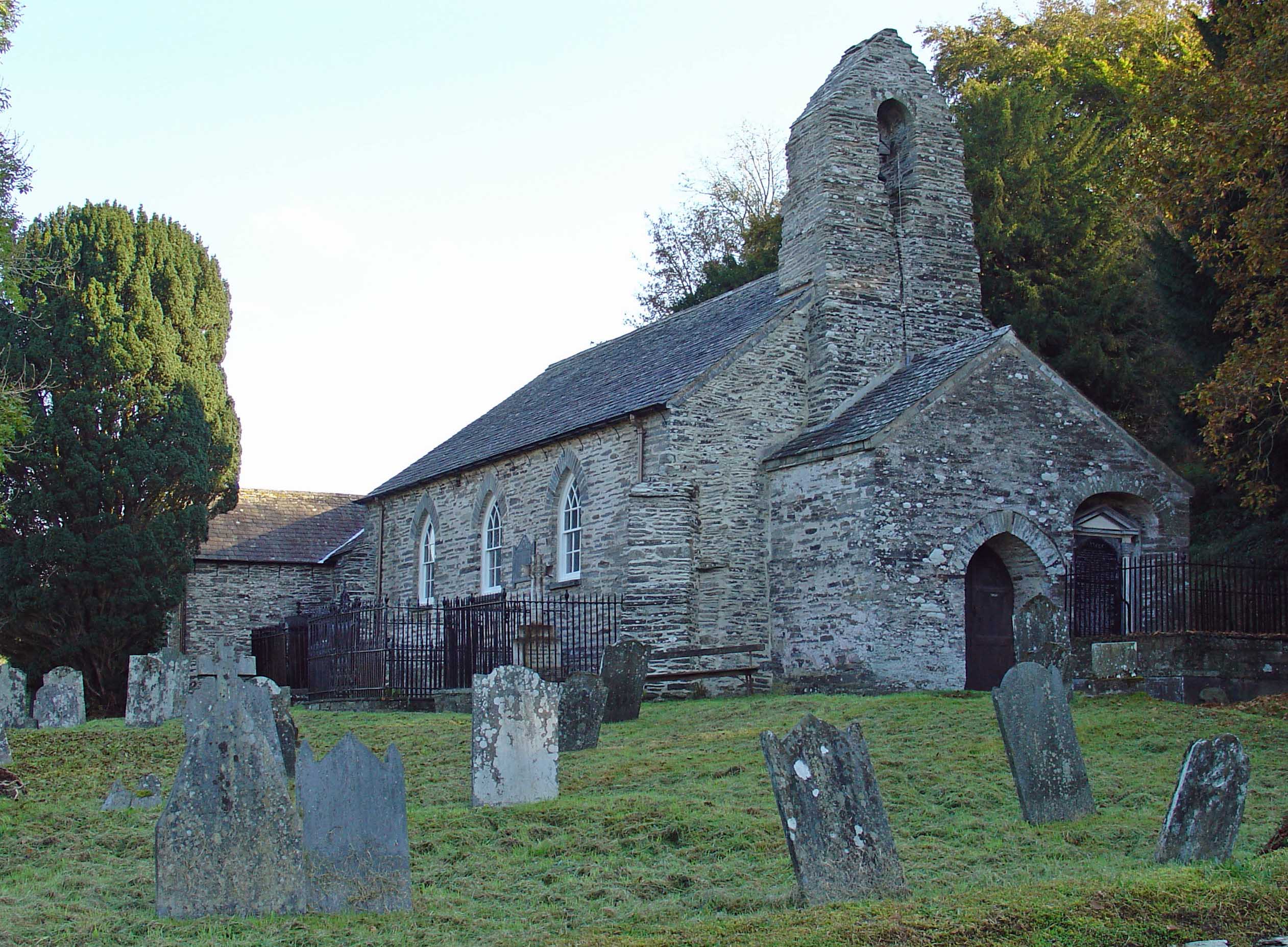
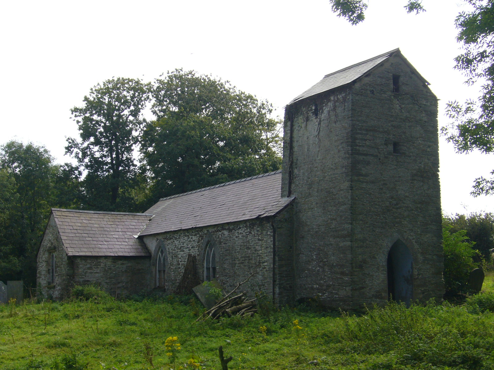
Cross Roads Covert Images

Images are sourced within 2km of 52.027695/-4.5808607 or Grid Reference SN2339. Thanks to Geograph Open Source API. All images are credited.

Old pig styes on the Ffynone estate Interesting range of three old pig styes (unoccupied) beside a PROW in the vicinity of Cwm Blaen Bwlan. The walls of the pens are constructed of solid slate slabs.
Old pig styes on the Ffynone estate
Interesting range of three old pig styes (unoccupied) beside a PROW in the vicinity of Cwm Blaen Bwlan. The walls of the pens are constructed of solid slate slabs.
Damaged Boundary Stone There should be an Ordnance Survey benchmark on the stone. Probably buried. It marks a point 141.600m above mean sea level.
Damaged Boundary Stone
There should be an Ordnance Survey benchmark on the stone. Probably buried. It marks a point 141.600m above mean sea level.
Ordnance Survey Cut Mark This OS cut mark can be found on the gatepost NE side of the road junction. It marks a point 135.968m above mean sea level.
Ordnance Survey Cut Mark
This OS cut mark can be found on the gatepost NE side of the road junction. It marks a point 135.968m above mean sea level.
B4332 at Blaen-morw
B4332 at Blaen-morw
B4332 west of Newchapel
The Ffynnone Arms Built in the 18th C the inn has traditional slate floors.
The Ffynnone Arms
Built in the 18th C the inn has traditional slate floors.
Chapel at Capel Newydd / Newchapel The manse, the chapel and the school-room I presume. What a gem.
Chapel at Capel Newydd / Newchapel
The manse, the chapel and the school-room I presume. What a gem.
Chapel at Newchapel / Capel Newydd I bet it hasn't changed much in decades. A complete gem.
Chapel at Newchapel / Capel Newydd
I bet it hasn't changed much in decades. A complete gem.
The Ffynnone Arms at Capel Newydd / Newchapel Traditional looking Free House, one of the hubs of village life.
The Ffynnone Arms at Capel Newydd / Newchapel
Traditional looking Free House, one of the hubs of village life.
Eisteddfod security The entrance to Cilwendeg where the 2013 Eisteddfod is being held, the final preparations are being carried out, to the left there are temporary aluminium boards laid down because of the soft wet ground, there will be a tremendous amount of vehicles coming and going to this site over the next few days, then all the marques etc will have to be taken down and removed.
Eisteddfod security
The entrance to Cilwendeg where the 2013 Eisteddfod is being held, the final preparations are being carried out, to the left there are temporary aluminium boards laid down because of the soft wet ground, there will be a tremendous amount of vehicles coming and going to this site over the next few days, then all the marques etc will have to be taken down and removed.
Eisteddfod yr Urdd General view of the marquees etc. in the Cilwendeg grounds.
Eisteddfod yr Urdd
General view of the marquees etc. in the Cilwendeg grounds.
Lay-by on the B4332 I stopped here for yet another photo of a beautiful Welsh landscape.
Lay-by on the B4332
I stopped here for yet another photo of a beautiful Welsh landscape.
Pont Newydd Cerddwyr yn mynd heibio i anhedd-dy.

Walkers passing a property.
Pont Newydd
Cerddwyr yn mynd heibio i anhedd-dy. Walkers passing a property.
Rhyd Afon Dulais / Afon Dulais ford Cerddwyr yn croesi pompren wrth ryd Afon Dulais.

Walkers crossing a footbridge at Afon Dulais ford (trans. black water)
Rhyd Afon Dulais / Afon Dulais ford
Cerddwyr yn croesi pompren wrth ryd Afon Dulais. Walkers crossing a footbridge at Afon Dulais ford (trans. black water)
Croesi Afon Dulais / Crossing Afon Dulais Cerddwyr yn croesi Afon Dulais.

Walkers crossing Afon Dulais (trans. black water).
Croesi Afon Dulais / Crossing Afon Dulais
Cerddwyr yn croesi Afon Dulais. Walkers crossing Afon Dulais (trans. black water).
Sgwt Ffynhonnau / Ffynhonnau Waterfall Sgwt Ffynhonnau mewn llecyn cyfareddol.

Ffynhonnau Waterfall (trans, springs) at an enchanting location.
Sgwt Ffynhonnau / Ffynhonnau Waterfall
Sgwt Ffynhonnau mewn llecyn cyfareddol. Ffynhonnau Waterfall (trans, springs) at an enchanting location.
Llwybr ger Cwm-blaen-bwlan / Path near Cwm-blaen-bwlan Cerddwyr yn dilyn llwybr ger Cwm-blaen-bwlan.

Walkers following a path near Cwm-blaen-bwlan (trans. valley of the source of the Bwlan [stream]?)
Llwybr ger Cwm-blaen-bwlan / Path near Cwm-blaen-bwlan
Cerddwyr yn dilyn llwybr ger Cwm-blaen-bwlan. Walkers following a path near Cwm-blaen-bwlan (trans. valley of the source of the Bwlan [stream]?)
Llwybr Gelli-deg / Gelli-deg Path Llwybr cyhoeddus yn mynd i gyfeiriad Gelli-deg.

A public footpath heading in the direction of Gelli-deg (trans. fair grove).
Llwybr Gelli-deg / Gelli-deg Path
Llwybr cyhoeddus yn mynd i gyfeiriad Gelli-deg. A public footpath heading in the direction of Gelli-deg (trans. fair grove).
Show me another place!

Cross Roads Covert is located at Grid Ref: SN2339 (Lat: 52.027695, Lng: -4.5808607)

Unitary Authority: Pembrokeshire

Police Authority: Dyfed Powys

What 3 Words

///unstated.ample.geologist. Near Crymych, Pembrokeshire

Related Wikis

Cemaes Rural District

Cemaes Rural District was an administrative subdivision of Pembrokeshire, Wales from 1934 to 1974. == Name == The district's name is that of its northernmost...

Capel Colman

Capel Colman is a parish in northeast Pembrokeshire, Wales, in the community of Boncath. Formerly in the Hundred of Cilgerran, Capel Colman is a small...

Pont Treseli

Pont Treseli or Pont Tre-seli is a Grade II-listed single-arch stone bridge spanning Afon Cych at Abercych, Pembrokeshire, Wales. It carries the B4332...

Abercych

Abercych (or Abercuch, Welsh pronunciation: [ɑbərkiːx]) is a small village in the community of Manordeifi, northeast Pembrokeshire in South West Wales...

Manordeifi

Manordeifi (Welsh: Maenordeifi) is a parish and community in the hundred of Cilgerran, in the northeast corner of Pembrokeshire, Wales. The population...

Llanfihangel Penbedw

Llanfihangel Penbedw is a parish in the former Hundred of Kilgerran in northeast Pembrokeshire, Wales. The parish, a joint curacy with Capel Colman, in...

Boncath railway station

Boncath railway station served the village of Boncath, Pembrokeshire, Wales, from 1886 to 1963 on the Whitland and Cardigan Railway. == History == The...

Penrydd

Penrydd (variously spelled Penrhydd, Penrhudd, Penrith, Penreth or Penrieth) is a former parish in the Hundred of Kilgerran, north Pembrokeshire, Wales...

Nearby Amenities

Located within 500m of 52.027695,-4.5808607
Source: npe
Lat/Long: 52.0251592/-4.5835146
Capel Newydd / Newchapel
Is In: Pembrokeshire,Wales,UK
Name Cy: Capel Newydd
Name En: Newchapel
Place: hamlet
Source: npe
Lat/Long: 52.0255847/-4.5824345
Fynonau Cross
Junction: yes
Lat/Long: 52.0258413/-4.5771421
Leisure: picnic_table
Lat/Long: 52.0251976/-4.5841819
Barrier: cattle_grid
Lat/Long: 52.026074/-4.5752311
Power: pole
Lat/Long: 52.0265005/-4.5738866
Power: pole
Lat/Long: 52.0245166/-4.576924
Power: pole
Lat/Long: 52.0240904/-4.577569
Power: pole
Lat/Long: 52.0239241/-4.5784502
Power: pole
Lat/Long: 52.0237075/-4.579613
Power: pole
Lat/Long: 52.0234517/-4.5810189
Power: pole
Lat/Long: 52.0251763/-4.5759171
Give Way
Direction: forward
Lat/Long: 52.0251526/-4.5844402
Give Way
Direction: backward
Lat/Long: 52.0292862/-4.5866908
Give Way
Direction: backward
Lat/Long: 52.0291672/-4.5865813
Give Way
Direction: forward
Lat/Long: 52.0292006/-4.5865156
Give Way
Direction: forward
Lat/Long: 52.0258129/-4.5771079
Direction: 170
Generator Method: photovoltaic
Generator Output Electricity: yes
Generator Solar Modules: 16
Generator Source: solar
Generator Type: solar_photovoltaic_panel
Location: roof
Power: generator
Lat/Long: 52.0258374/-4.5851424
Direction: 175
Generator Method: photovoltaic
Generator Output Electricity: yes
Generator Solar Modules: 16
Generator Source: solar
Generator Type: solar_photovoltaic_panel
Location: roof
Power: generator
Lat/Long: 52.0254627/-4.5820881
Direction: S
Generator Method: photovoltaic
Generator Output Electricity: yes
Generator Solar Modules: 16
Generator Source: solar
Generator Type: solar_photovoltaic_panel
Location: roof
Power: generator
Lat/Long: 52.025759/-4.5825031
Direction: S
Generator Method: photovoltaic
Generator Output Electricity: yes
Generator Solar Modules: 16
Generator Source: solar
Generator Type: solar_photovoltaic_panel
Location: roof
Power: generator
Lat/Long: 52.0257507/-4.5826775
The data included in this document is from www.openstreetmap.org. The data is made available under ODbL.

Have you been to Cross Roads Covert?

Leave your review of Cross Roads Covert below (or comments, questions and feedback).