Allt Cilast-isaf
Wood, Forest in Pembrokeshire
Wales
Allt Cilast-isaf

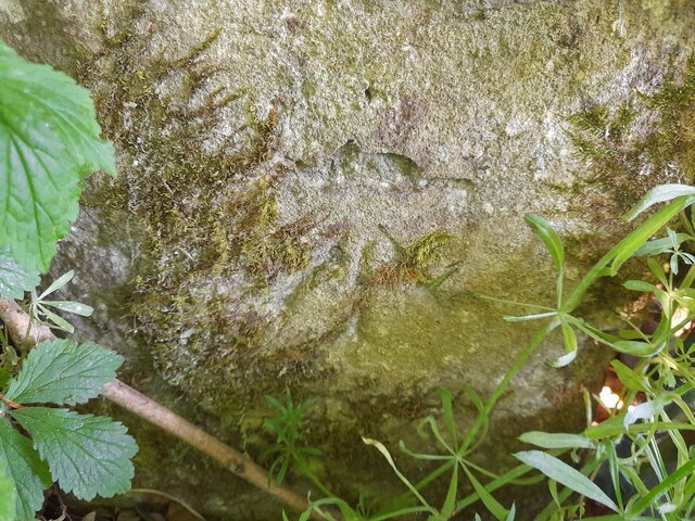
Allt Cilast-isaf is a picturesque woodland located in Pembrokeshire, Wales. It is renowned for its natural beauty and diverse array of flora and fauna. Covering an area of approximately 100 acres, the woodland is a haven for nature enthusiasts and provides a tranquil escape from the hustle and bustle of daily life.
The wood is primarily composed of native tree species such as oak, ash, and beech. These towering trees create a dense canopy, casting cool shadows on the forest floor. The undergrowth is rich and vibrant, with a variety of wildflowers, ferns, and mosses adding splashes of color to the landscape.
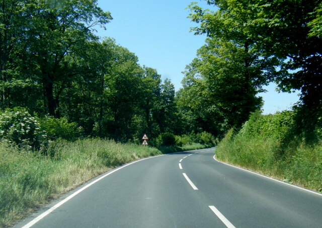
A network of well-maintained footpaths winds through the woodland, offering visitors the opportunity to explore its hidden corners and discover its hidden treasures. The trails are suitable for all levels of hikers and provide a chance to observe the abundant wildlife that calls Allt Cilast-isaf home. From songbirds chirping in the treetops to small mammals scurrying among the fallen leaves, there is always something new to see.
The wood is also home to a diverse range of insects, including butterflies and beetles, which thrive in the damp and shaded environment. For birdwatchers, Allt Cilast-isaf is a haven, with species such as woodpeckers, owls, and buzzards frequently spotted among the trees.
Overall, Allt Cilast-isaf is a haven of tranquility and natural beauty. It offers visitors the chance to immerse themselves in the wonders of the Welsh woodland and experience the sights, sounds, and scents of nature at its finest.
If you have any feedback on the listing, please let us know in the comments section below.
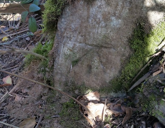
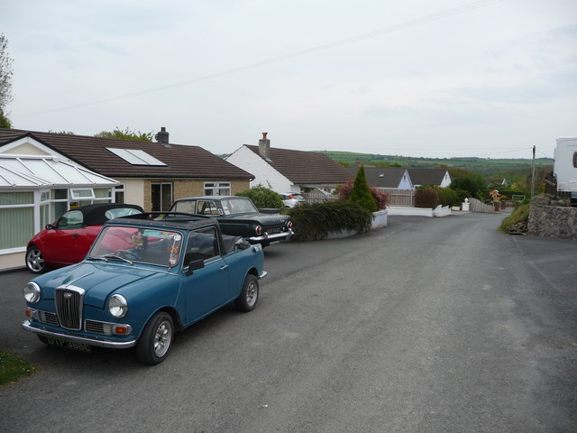
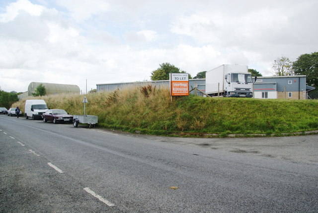
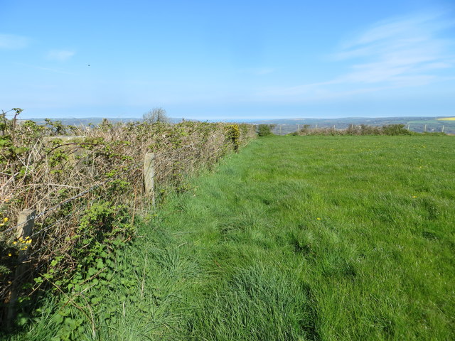
Allt Cilast-isaf Images
Images are sourced within 2km of 52.037541/-4.6098775 or Grid Reference SN2140. Thanks to Geograph Open Source API. All images are credited.


Allt Cilast-isaf is located at Grid Ref: SN2140 (Lat: 52.037541, Lng: -4.6098775)
Unitary Authority: Pembrokeshire
Police Authority: Dyfed Powys
What 3 Words
///runner.seats.quits. Near Cardigan, Ceredigion
Nearby Locations
Related Wikis
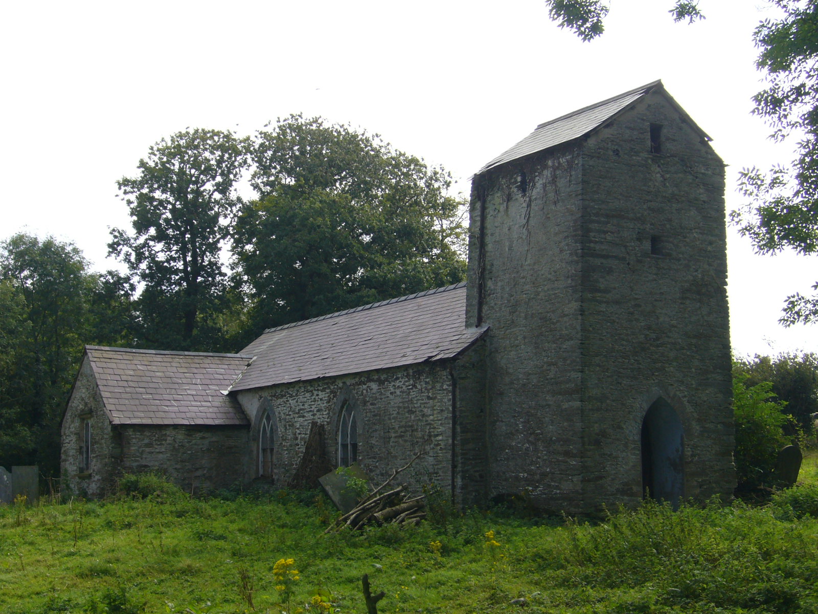
Llanfihangel Penbedw
Llanfihangel Penbedw is a parish in the former Hundred of Kilgerran in northeast Pembrokeshire, Wales. The parish, a joint curacy with Capel Colman, in...
Kilgerran Halt railway station
Kilgerran Halt railway station served the village of Cilgerran, Pembrokeshire, Wales, from 1886 to 1963 on the Whitland and Cardigan Railway. == History... ==

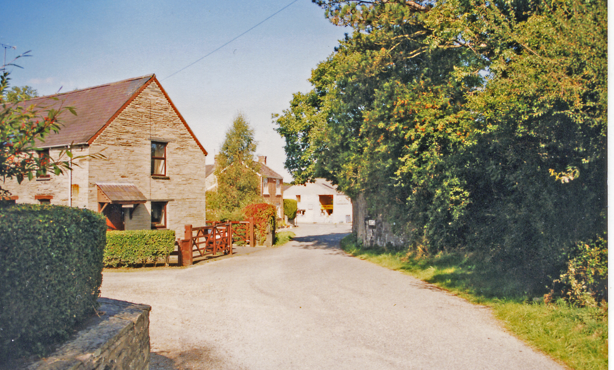
Rhoshill, Pembrokeshire
Rhoshill (also known as Rhos-hill) is a hamlet on the A478 road, in the community and parish of Cilgerran, in Pembrokeshire, South-west Wales. The hamlet...
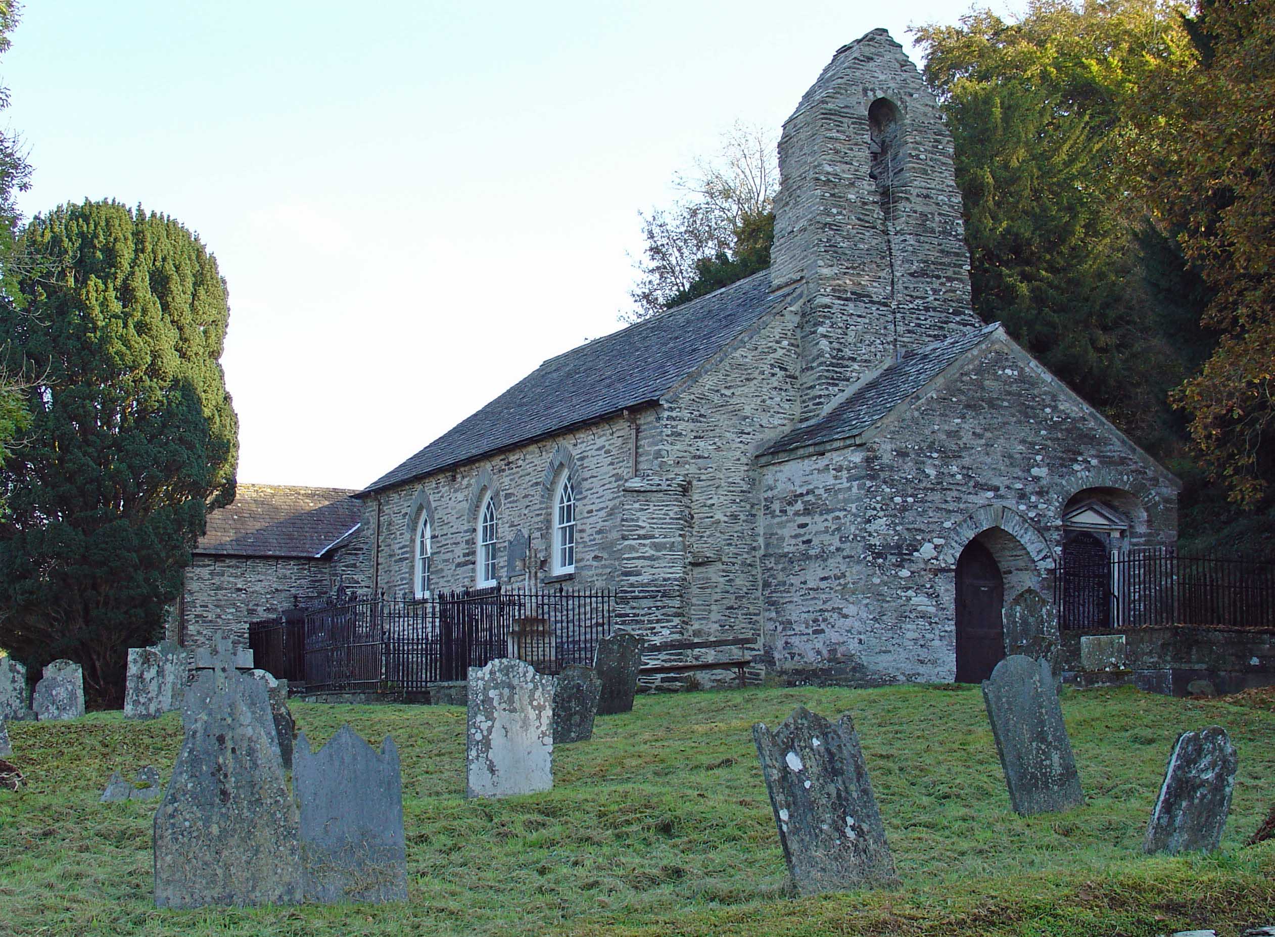
Manordeifi
Manordeifi (Welsh: Maenordeifi) is a parish and community in the hundred of Cilgerran, in the northeast corner of Pembrokeshire, Wales. The population...
Nearby Amenities
Located within 500m of 52.037541,-4.6098775Have you been to Allt Cilast-isaf?
Leave your review of Allt Cilast-isaf below (or comments, questions and feedback).