Allt Pwll-swnd
Wood, Forest in Cardiganshire
Wales
Allt Pwll-swnd
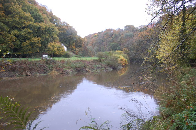
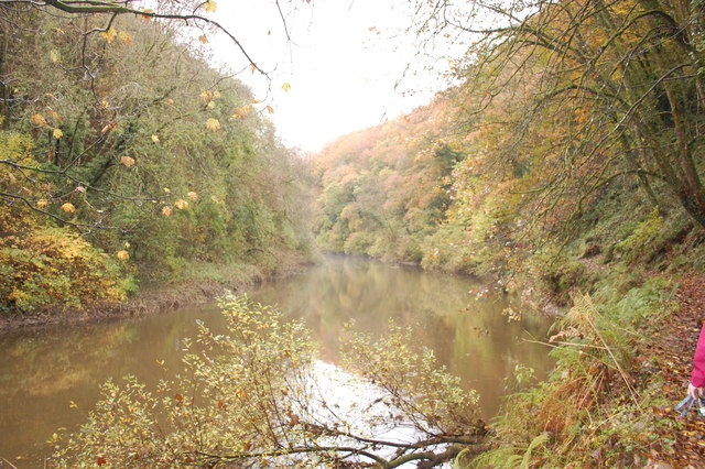
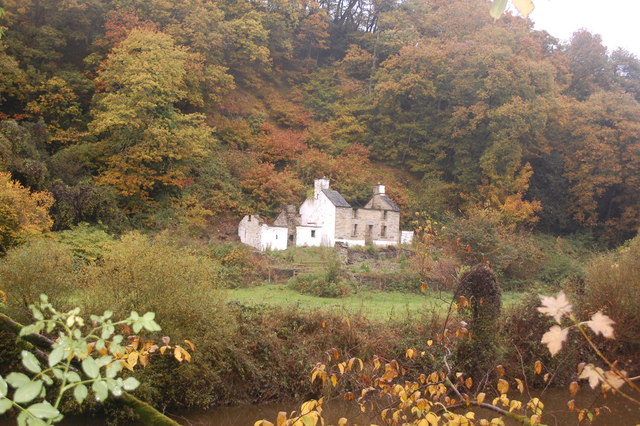
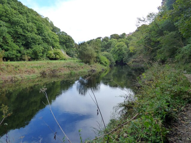
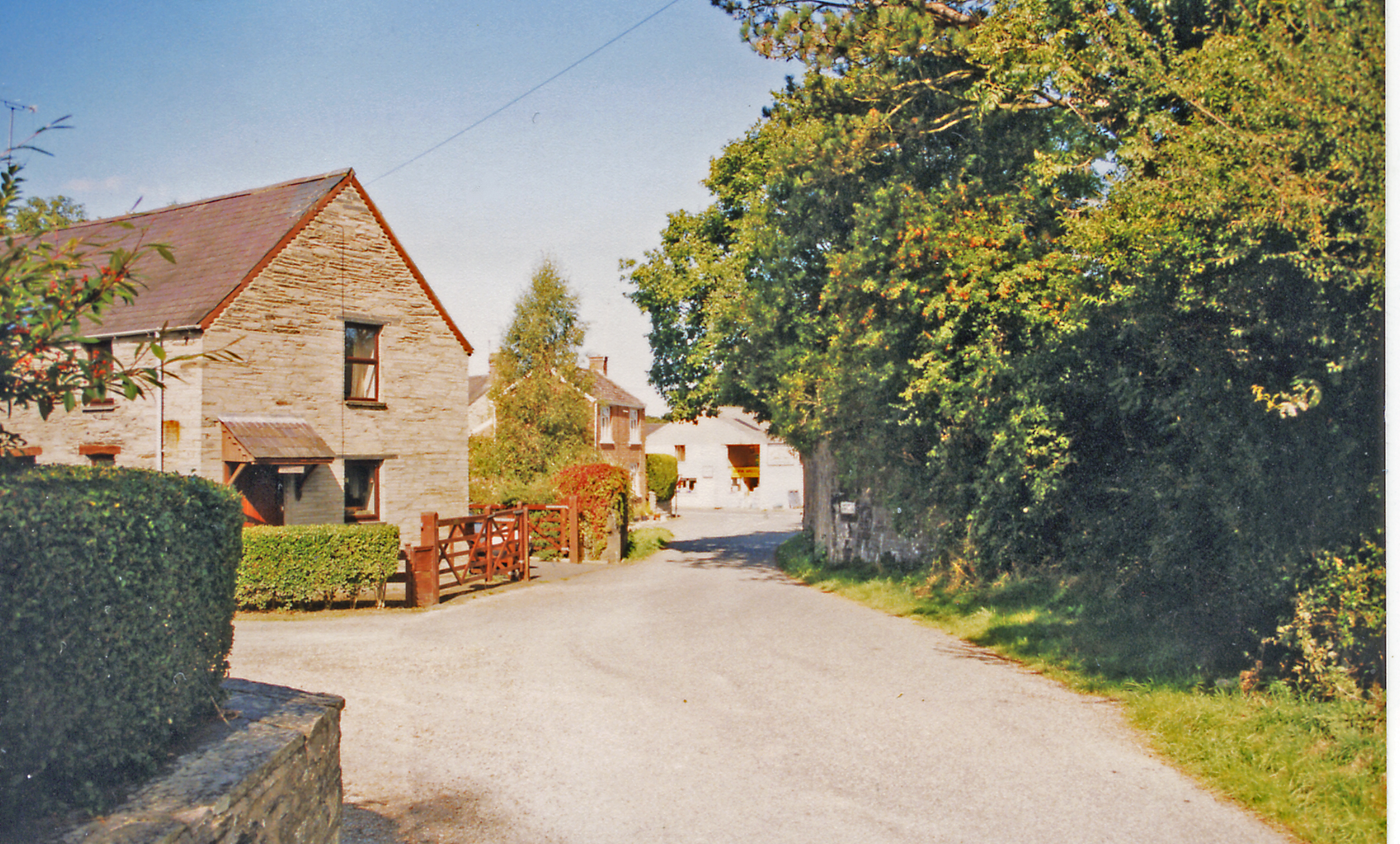
Allt Pwll-swnd is a picturesque woodland located in Cardiganshire, Wales. Spanning over a vast area, this enchanting forest is known for its natural beauty and diverse wildlife. The name "Allt Pwll-swnd" translates to "hill of the noiseless pool," which aptly describes the serene atmosphere that permeates the area.
The woodland is abundant with a variety of tree species, including oak, beech, and birch, which create a dense canopy, casting dappled sunlight onto the forest floor. The vibrant hues of the changing leaves in autumn attract visitors from far and wide. The forest floor is adorned with a carpet of mosses, ferns, and wildflowers, adding to the overall charm of the woodland.
Allt Pwll-swnd is a haven for wildlife enthusiasts, offering a sanctuary for many species. The forest is home to a diverse range of birds, such as woodpeckers, owls, and various songbirds, filling the air with their melodious tunes. Deer, foxes, and badgers can also be spotted roaming amidst the trees, adding a touch of wilderness to the landscape.
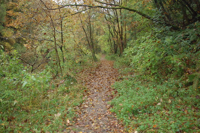
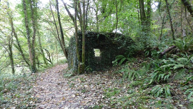
Several walking trails wind their way through the forest, offering visitors the opportunity to explore its hidden gems. These trails lead to a tranquil, noiseless pool, from which the woodland derives its name. The pool serves as a peaceful retreat, where visitors can sit and admire the natural beauty that surrounds them.
Allt Pwll-swnd is a true gem of Cardiganshire, offering a serene escape from the hustle and bustle of everyday life. Whether you are a nature lover, a wildlife enthusiast, or simply seeking some tranquility, this enchanting forest is sure to captivate your senses.
If you have any feedback on the listing, please let us know in the comments section below.
Allt Pwll-swnd Images
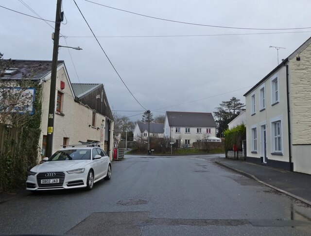
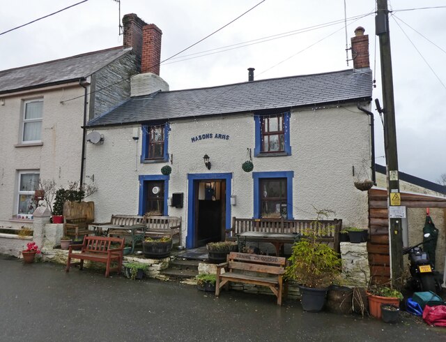
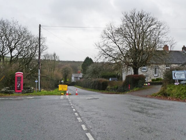
Images are sourced within 2km of 52.062875/-4.6118656 or Grid Reference SN2143. Thanks to Geograph Open Source API. All images are credited.


Allt Pwll-swnd is located at Grid Ref: SN2143 (Lat: 52.062875, Lng: -4.6118656)
Unitary Authority: Ceredigion
Police Authority: Dyfed Powys
What 3 Words
///roving.tightest.lunge. Near Cardigan, Ceredigion
Nearby Locations
Related Wikis

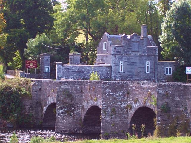
Castell Malgwyn
Castell Malgwyn (alternatively Castle Malgwyn or Hammet House) is a grade II listed Georgian-style country house standing in a landscaped estate in the...
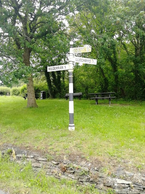
Llechryd
Llechryd (Welsh pronunciation: [ɬɛxrɪd]) is a rural village on the A484 road approximately 3 miles (4.8 km) from Cardigan, Ceredigion, Wales. Situated...

Neuadd Wilym
Neuadd Wilym is a small village in the community of Llangoedmor, Ceredigion, Wales, which is 74.2 miles (119.4 km) from Cardiff and 196 miles (315.4 km...
Kilgerran Halt railway station
Kilgerran Halt railway station served the village of Cilgerran, Pembrokeshire, Wales, from 1886 to 1963 on the Whitland and Cardigan Railway. == History... ==
Nearby Amenities
Located within 500m of 52.062875,-4.6118656Have you been to Allt Pwll-swnd?
Leave your review of Allt Pwll-swnd below (or comments, questions and feedback).