Burford
Settlement in Somerset Mendip
England
Burford
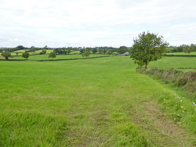
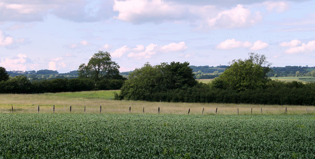
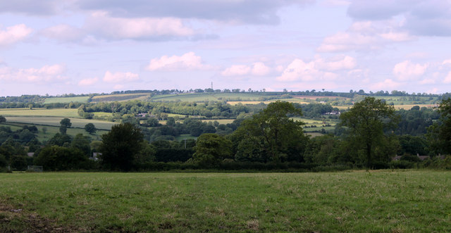
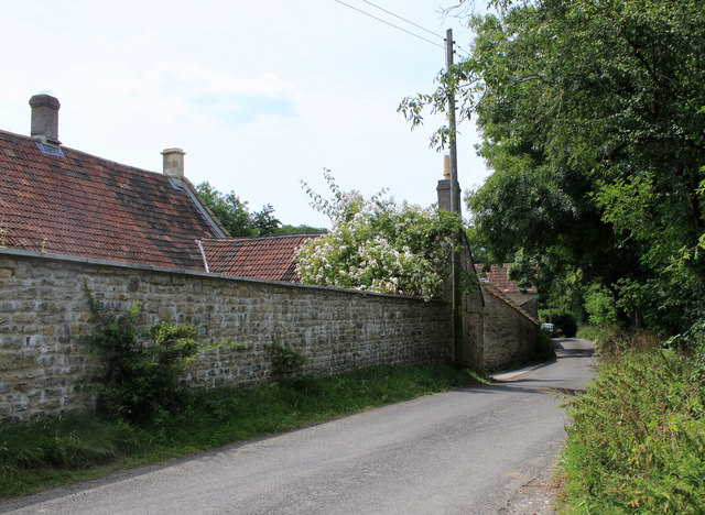
Burford is a small village located in the county of Somerset, England. Situated in the picturesque Mendip Hills, it lies approximately 15 miles south of the city of Bristol. The village is nestled in a rural landscape, surrounded by rolling green fields and charming countryside.
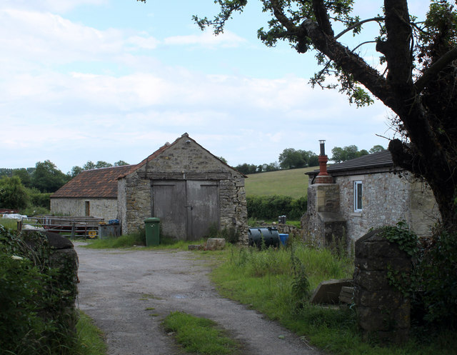
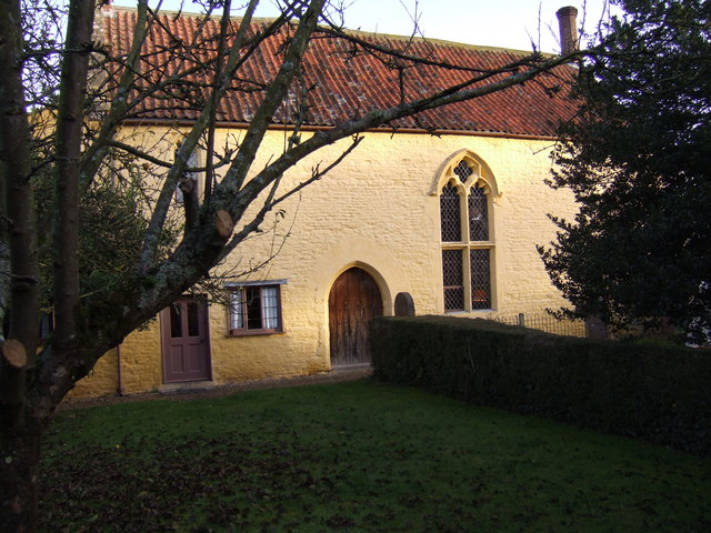
With a population of around 500 residents, Burford retains its quaint and idyllic character. The village is known for its traditional stone-built cottages, many of which date back to the 18th and 19th centuries, giving it a charming and timeless feel. The local church, St. Michael's, is a prominent feature and adds to the village's historic appeal.
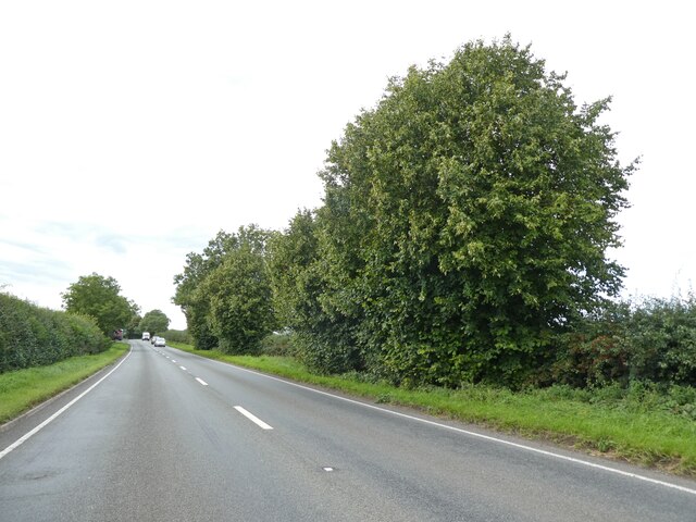
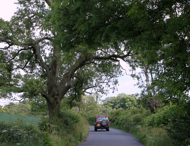
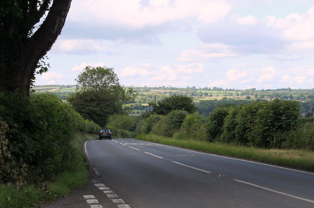
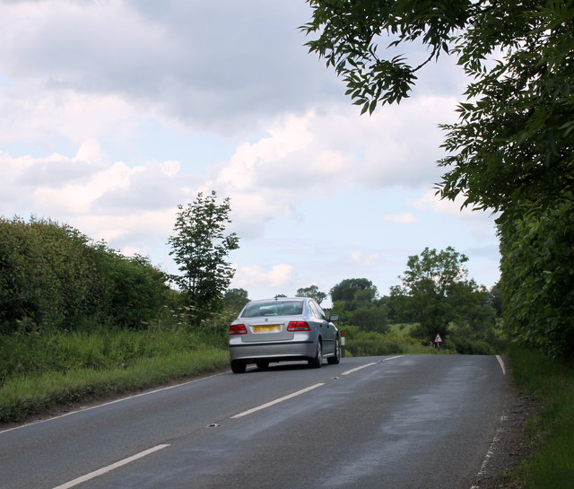
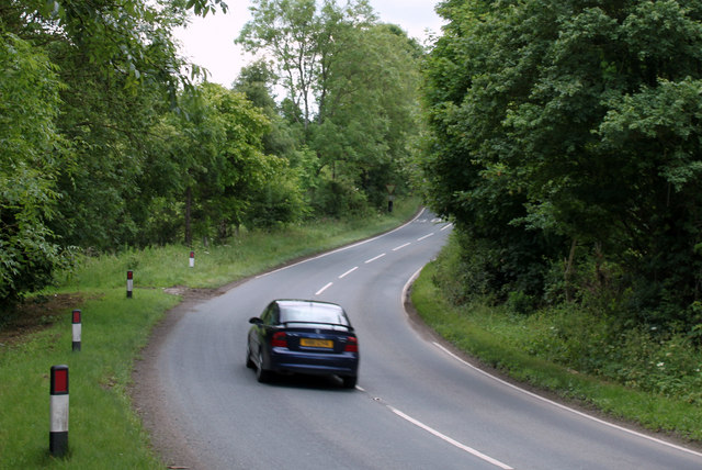
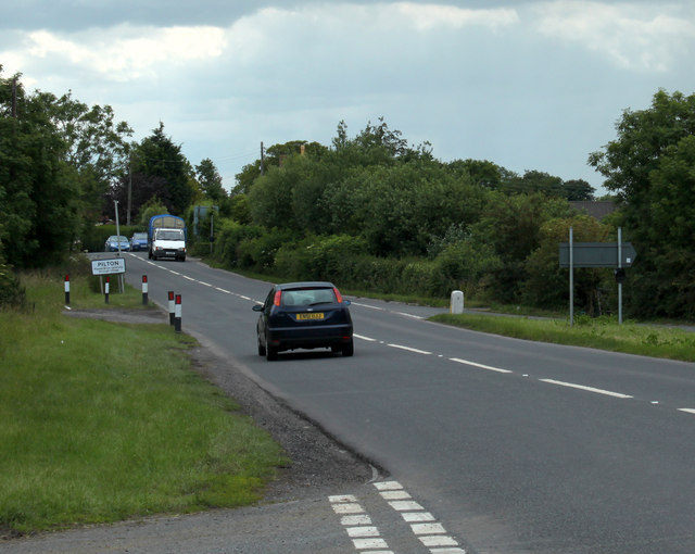
Burford is well-connected to nearby towns and cities, with good transport links including a local bus service. Despite its small size, the village has some amenities to offer its residents, including a village hall and a small shop. The surrounding area offers plenty of opportunities for outdoor activities, such as walking and hiking in the Mendip Hills, which are designated as an Area of Outstanding Natural Beauty.
The village is also within easy reach of popular tourist destinations such as Cheddar Gorge and Wookey Hole Caves, which attract visitors from far and wide. Burford's location provides a peaceful and tranquil setting while still being within reach of larger urban areas, making it an attractive place to live for those seeking a rural idyll with convenient access to amenities.
If you have any feedback on the listing, please let us know in the comments section below.
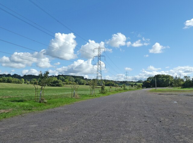
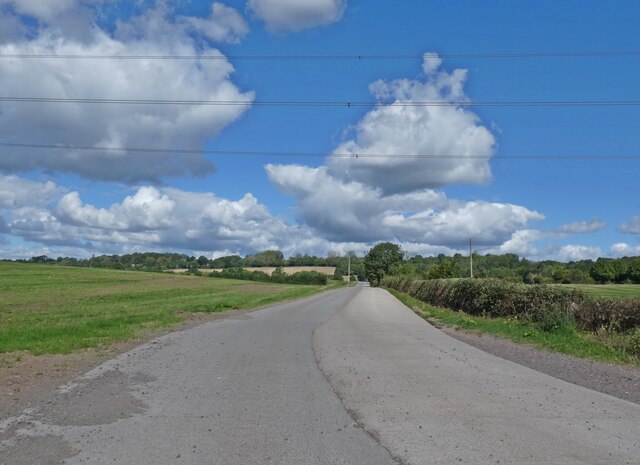
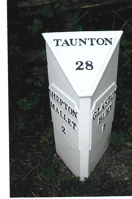
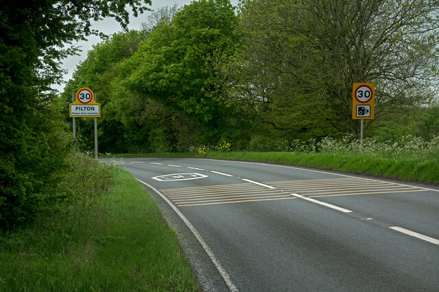
Burford Images
Images are sourced within 2km of 51.173908/-2.587032 or Grid Reference ST5941. Thanks to Geograph Open Source API. All images are credited.

Burford is located at Grid Ref: ST5941 (Lat: 51.173908, Lng: -2.587032)
Administrative County: Somerset
District: Mendip
Police Authority: Avon and Somerset
What 3 Words
///fail.acute.zaps. Near Shepton Mallet, Somerset
Related Wikis
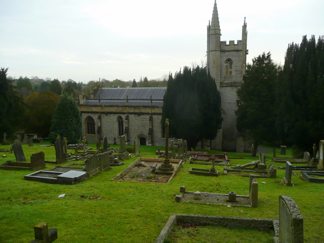
Pilton, Somerset
Pilton is a village and civil parish in Somerset, England, situated on the A361 road in the Mendip district, 3 miles (5 km) south-west of Shepton Mallet...
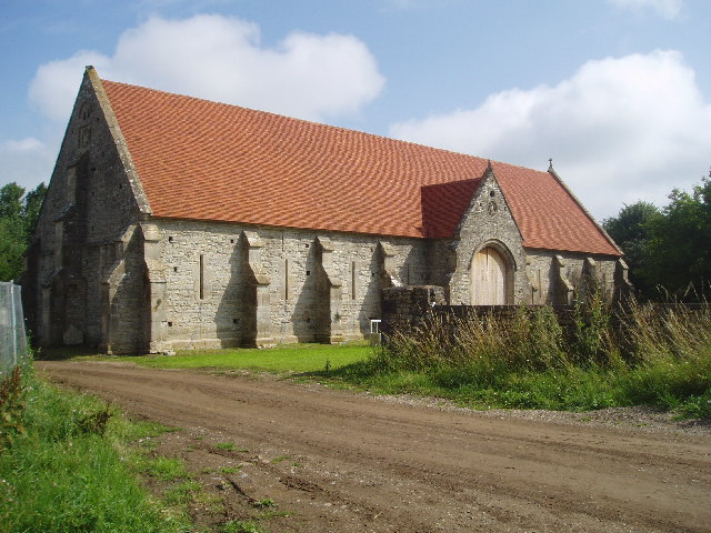
Tithe Barn, Pilton
The Tithe Barn at Cumhill Farm in Pilton, Somerset, England, was built in the 14th century as a tithe barn to hold produce for Glastonbury Abbey. It is...

Friar's Oven
Friar's Oven (grid reference ST592431) is a 4.0 hectare biological Site of Special Scientific Interest in Somerset, notified in 1989. == Sources == English...
Worthy FM
Worthy FM is the onsite radio station of The Glastonbury Festival. It broadcasts on 87.7 MHz FM and online for one week only during the Festival, operating...
Shepton Mallet F.C.
Shepton Mallet Association Football Club are a football club based in Shepton Mallet, Somerset, England. They are currently members of Western League Premier...
North Wootton, Somerset
North Wootton is a village and civil parish, on the River Redlake, 2.5 miles (4.0 km) south east of Wells, and 3.5 miles (5.6 km) south west of Shepton...
The Old Rectory, Croscombe
The Old Rectory in the village of Croscombe within the English county of Somerset was built in the 17th century and rebuilt in the 18th. It is a Grade...
The Old Manor, Croscombe
The Old Manor in Croscombe, Somerset, England, was built around 1460–89 as a rectorial manor house for Hugh Sugar, the Treasurer of Wells Cathedral. It...
Nearby Amenities
Located within 500m of 51.173908,-2.587032Have you been to Burford?
Leave your review of Burford below (or comments, questions and feedback).