Burford
Settlement in Oxfordshire West Oxfordshire
England
Burford

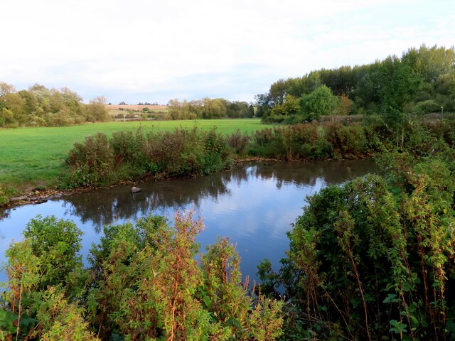
Burford is a historic town located in the county of Oxfordshire, England. Situated on the River Windrush, it is known for its picturesque beauty and charming atmosphere. The town lies about 20 miles west of Oxford and is surrounded by the scenic Cotswold Hills, offering stunning views of the countryside.
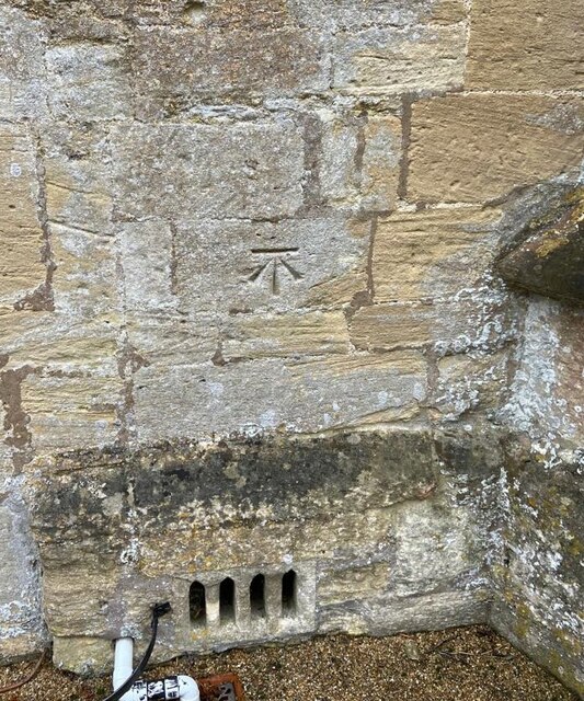
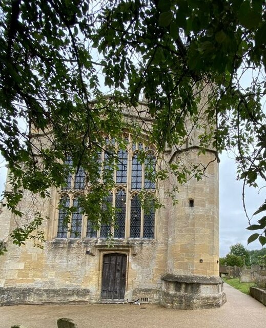
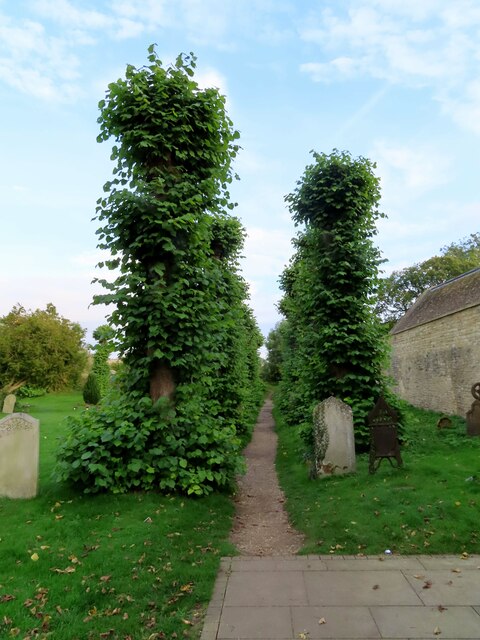
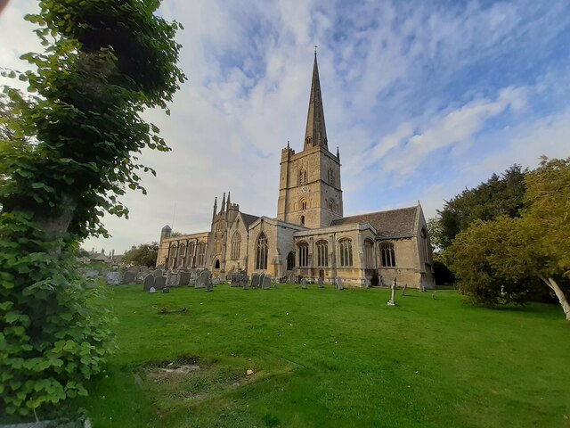
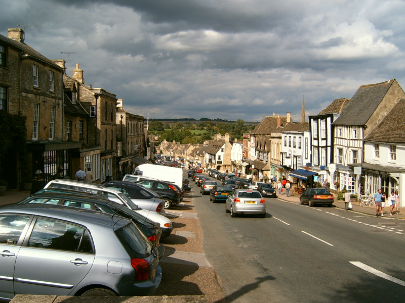
Burford is renowned for its well-preserved medieval architecture, with many buildings dating back to the 12th century. The iconic High Street is lined with traditional Cotswold stone houses, boutique shops, and cozy tea rooms, giving visitors a glimpse into the town's rich history. The most notable landmark is the Church of St John the Baptist, a beautiful 12th-century church known for its impressive tower.
The town also boasts an array of attractions and activities. The Cotswold Wildlife Park and Gardens, located just outside Burford, is a popular family-friendly destination, featuring a wide range of animals and beautifully landscaped gardens. Visitors can also explore the nearby Cotswold Falconry Centre, where they can witness captivating displays of birds of prey.
Burford is a hub for antique lovers, with numerous antique shops and galleries showcasing a variety of unique items. The town hosts a bustling antiques market every month, attracting collectors and enthusiasts from all over the country.
In terms of dining, Burford offers a range of options, from traditional pubs serving hearty British cuisine to elegant restaurants offering fine dining experiences. The town also hosts an annual food festival, celebrating the local culinary delights.
Overall, Burford is a charming and historic town that offers visitors a chance to step back in time and experience the beauty of the Cotswolds.
If you have any feedback on the listing, please let us know in the comments section below.
Burford Images
Images are sourced within 2km of 51.807652/-1.6367137 or Grid Reference SP2512. Thanks to Geograph Open Source API. All images are credited.


Burford is located at Grid Ref: SP2512 (Lat: 51.807652, Lng: -1.6367137)
Administrative County: Oxfordshire
District: West Oxfordshire
Police Authority: Thames Valley
What 3 Words
///carefully.spicy.sock. Near Burford, Oxfordshire
Nearby Locations
Related Wikis
Burford
Burford () is a town on the River Windrush, in the Cotswold hills, in the West Oxfordshire district of Oxfordshire, England. It is often referred to as...

Tolsey Museum
The Tolsey Museum is a local museum in the town of Burford, west Oxfordshire, England. It is located in a Tudor style structure, known as The Tolsey, which...

Burford Methodist Church
Burford Methodist Church is a baroque building in the High Street of Burford, Oxfordshire. It was built between about 1715 and 1730 as a private house...

Battle Edge
Battle-Edge is a former field, located beside Sheep Street and Tanners Lane, in Burford in Oxfordshire, England where King Æthelbald of Mercia was defeated...
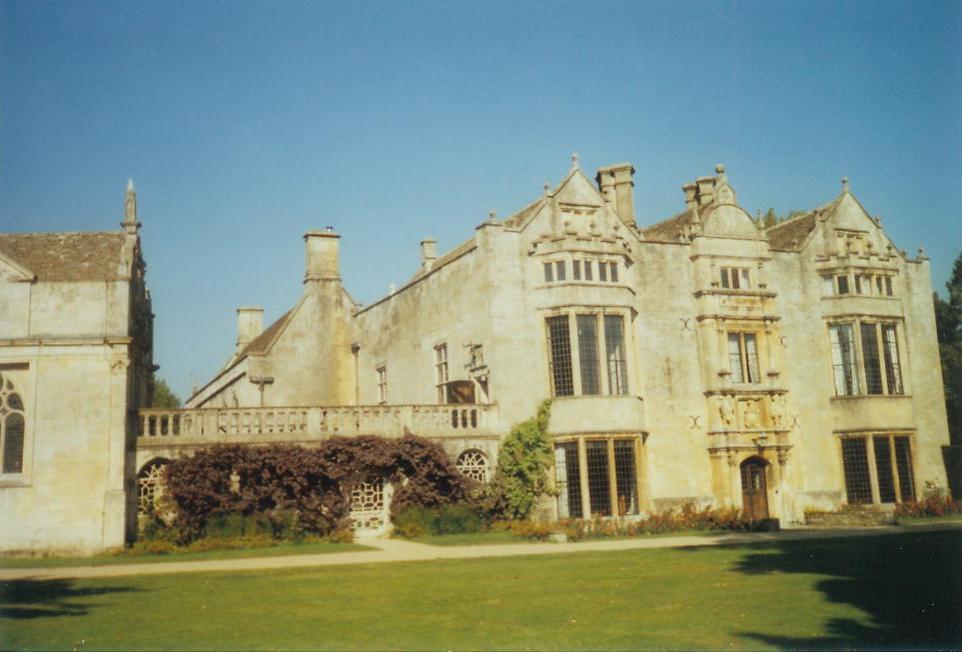
Burford Priory
Burford Priory is a Grade I listed country house and former priory at Burford in West Oxfordshire, England owned by Elisabeth Murdoch, daughter of Rupert...
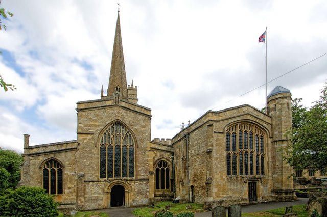
Church of St John the Baptist, Burford
The Anglican Church of St John the Baptist in Burford, Oxfordshire, England is a Grade I listed building.The Church of England parish church is dedicated...

Fulbrook, Oxfordshire
Fulbrook is a village and civil parish immediately northeast of Burford in West Oxfordshire. The 2011 Census recorded the parish's population as 437....
Upton, West Oxfordshire
Upton is a hamlet on the River Windrush about 1 mile (1.6 km) west of Burford in Oxfordshire, England. Until 1954 Upton was part of the civil parish of...
Nearby Amenities
Located within 500m of 51.807652,-1.6367137Have you been to Burford?
Leave your review of Burford below (or comments, questions and feedback).