Allt Cwm-du

Wood, Forest in Cardiganshire

Wales

Allt Cwm-du

Ordnance Survey Cut Mark This OS cut mark can be found on the SW face of the Lodge. It marks a point 66.023m above mean sea level.
Ordnance Survey Cut Mark Credit: Adrian Dust

Allt Cwm-du is a picturesque woodland located in Cardiganshire, a county in Wales, United Kingdom. Spanning over a vast area, the woodland is known for its stunning natural beauty and diverse ecosystem. The name "Allt Cwm-du" translates to "Wood, Forest" in English, aptly describing the essence of this enchanting place.

The woodland is characterized by its dense canopy of trees, which includes a variety of species such as oak, beech, and birch. These towering trees create a serene and peaceful atmosphere, providing a haven for wildlife. Allt Cwm-du is home to numerous bird species, including the colorful European goldfinch and the melodious blackbird, making it a popular spot for birdwatchers.

In addition to its rich flora and fauna, the woodland boasts a network of walking trails that meander through its lush greenery. These trails provide visitors with an opportunity to explore the beauty of Allt Cwm-du and immerse themselves in nature. The woodland also features a small stream that adds to its charm, creating a soothing ambiance as it gently flows through the forest.

Allt Cwm-du is a haven for nature lovers, offering a peaceful retreat away from the hustle and bustle of everyday life. Whether it's a leisurely stroll along the trails, birdwatching, or simply enjoying the tranquility of the surroundings, this woodland is a must-visit destination for those seeking a connection with nature.

If you have any feedback on the listing, please let us know in the comments section below.
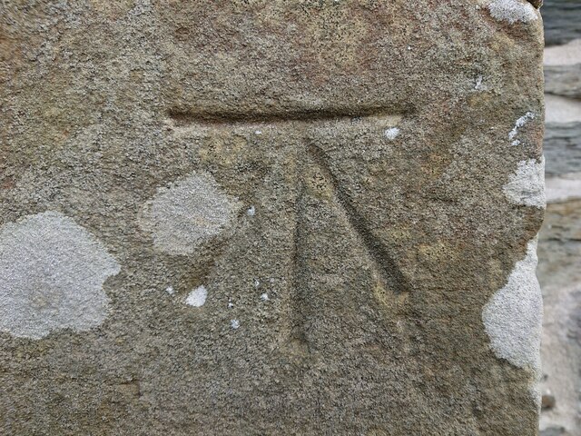
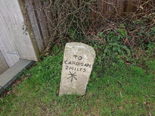
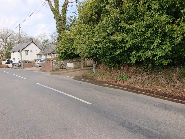
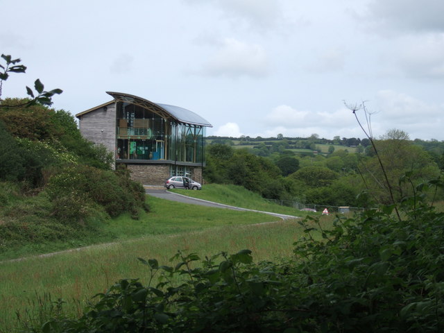
Allt Cwm-du Images

Images are sourced within 2km of 52.071155/-4.6377993 or Grid Reference SN1944. Thanks to Geograph Open Source API. All images are credited.

Ordnance Survey Cut Mark This OS cut mark can be found on the SW face of the Lodge. It marks a point 66.023m above mean sea level.
Ordnance Survey Cut Mark
This OS cut mark can be found on the SW face of the Lodge. It marks a point 66.023m above mean sea level.
Old Milestone by the B4570 at Cilbronnau Lodge Cardigan tombstone by the B4570, in parish of Llangoedmor (Ceredigion District), West of entrance to Cilbronnau Lodge, on verge back to hedge.

Inscription reads:-
TO
CARDIGAN
2 MILES
Cancelled carved bench mark below inscription.

Grade II listed by Cadw. 
Reference Number 14777: <span class="nowrap"><a title="https://cadwpublic-api.azurewebsites.net/reports/listedbuilding/FullReport?lang=&id=14777" rel="nofollow ugc noopener" href="https://cadwpublic-api.azurewebsites.net/reports/listedbuilding/FullReport?lang=&id=14777">Link</a><img style="margin-left:2px;" alt="External link" title="External link - shift click to open in new window" src="https://s1.geograph.org.uk/img/external.png" width="10" height="10"/></span>

Surveyed

Milestone Society National ID: CRD_CALA02
Old Milestone by the B4570 at Cilbronnau Lodge
Cardigan tombstone by the B4570, in parish of Llangoedmor (Ceredigion District), West of entrance to Cilbronnau Lodge, on verge back to hedge. Inscription reads:- TO CARDIGAN 2 MILES Cancelled carved bench mark below inscription. Grade II listed by Cadw. Reference Number 14777: LinkExternal link Surveyed Milestone Society National ID: CRD_CALA02
Ordnance Survey Benchmark - Llangoedmor, School House Ordnance Survey Benchmark (OSBM) used for levelling height above Ordnance Datum (OD).
Height (1972): 43.1590m OD (Newlyn). Mark verified by the Ordnance Survey in 1975. Description: JUNC RDS NW FACE SCHOOL HOUSE. 0.8m above ground.  2nd Order BM.

Context: <a href="https://www.geograph.org.uk/photo/7437889">SN2045 : Ordnance Survey Benchmark - Llangoedmor, School House</a>
Ordnance Survey Benchmark - Llangoedmor, School House
Ordnance Survey Benchmark (OSBM) used for levelling height above Ordnance Datum (OD). Height (1972): 43.1590m OD (Newlyn). Mark verified by the Ordnance Survey in 1975. Description: JUNC RDS NW FACE SCHOOL HOUSE. 0.8m above ground. 2nd Order BM. Context: SN2045 : Ordnance Survey Benchmark - Llangoedmor, School House
Ordnance Survey Benchmark - Llangoedmor, School House Ordnance Survey Benchmark (OSBM) used for levelling height above Ordnance Datum (OD).
Height (1972): 43.1590m OD (Newlyn). Mark verified by the Ordnance Survey in 1975. Description: JUNC RDS NW FACE SCHOOL HOUSE. 0.8m above ground.  2nd Order BM.

Close-up: <a href="https://www.geograph.org.uk/photo/7437884">SN2045 : Ordnance Survey Benchmark - Llangoedmor, School House</a>
Ordnance Survey Benchmark - Llangoedmor, School House
Ordnance Survey Benchmark (OSBM) used for levelling height above Ordnance Datum (OD). Height (1972): 43.1590m OD (Newlyn). Mark verified by the Ordnance Survey in 1975. Description: JUNC RDS NW FACE SCHOOL HOUSE. 0.8m above ground. 2nd Order BM. Close-up: SN2045 : Ordnance Survey Benchmark - Llangoedmor, School House
Llangoedmor, Milestone - Cardigan 2 Milestone with cancelled Ordnance Survey Benchmark (OSBM) used for levelling height above Ordnance Datum (OD).

The mark was used on the Brecknock to Cardigan line of the First Primary Levelling of England & Wales in 1856. It was levelled with a height of 248.874' above OD (Liverpool). Description: 119. Mark on the 2d milestone from Cardigan ; 2.18 ft. above surface. Page 572 of the abstract: <span class="nowrap"><a title="https://www.bench-marks.org.uk/abstract/ew1gl/1GLA_572.png" rel="nofollow ugc noopener" href="https://www.bench-marks.org.uk/abstract/ew1gl/1GLA_572.png">Link</a><img style="margin-left:2px;" alt="External link" title="External link - shift click to open in new window" src="https://s1.geograph.org.uk/img/external.png" width="10" height="10"/></span>

The mark has been cancelled by the addition of the two extra lines above the horizontal datum line, due to the line no longer being horizontal (most likely caused by a vehicle hitting the stone).

Context: <a href="https://www.geograph.org.uk/photo/7438519">SN2045 : Llangoedmor, Milestone - Cardigan 2</a>
Llangoedmor, Milestone - Cardigan 2
Milestone with cancelled Ordnance Survey Benchmark (OSBM) used for levelling height above Ordnance Datum (OD). The mark was used on the Brecknock to Cardigan line of the First Primary Levelling of England & Wales in 1856. It was levelled with a height of 248.874' above OD (Liverpool). Description: 119. Mark on the 2d milestone from Cardigan ; 2.18 ft. above surface. Page 572 of the abstract: LinkExternal link The mark has been cancelled by the addition of the two extra lines above the horizontal datum line, due to the line no longer being horizontal (most likely caused by a vehicle hitting the stone). Context: SN2045 : Llangoedmor, Milestone - Cardigan 2
Llangoedmor, Milestone - Cardigan 2 Milestone with cancelled Ordnance Survey Benchmark (OSBM) used for levelling height above Ordnance Datum (OD).

The mark was used on the Brecknock to Cardigan line of the First Primary Levelling of England & Wales in 1856. It was levelled with a height of 248.874' above OD (Liverpool). Description: 119. Mark on the 2d milestone from Cardigan ; 2.18 ft. above surface. Page 572 of the abstract: <span class="nowrap"><a title="https://www.bench-marks.org.uk/abstract/ew1gl/1GLA_572.png" rel="nofollow ugc noopener" href="https://www.bench-marks.org.uk/abstract/ew1gl/1GLA_572.png">Link</a><img style="margin-left:2px;" alt="External link" title="External link - shift click to open in new window" src="https://s1.geograph.org.uk/img/external.png" width="10" height="10"/></span>

The mark has been cancelled by the addition of the two extra lines above the horizontal datum line, due to the line no longer being horizontal (most likely caused by a vehicle hitting the stone).

Close-up: <a href="https://www.geograph.org.uk/photo/7438509">SN2045 : Llangoedmor, Milestone - Cardigan 2</a>
Llangoedmor, Milestone - Cardigan 2
Milestone with cancelled Ordnance Survey Benchmark (OSBM) used for levelling height above Ordnance Datum (OD). The mark was used on the Brecknock to Cardigan line of the First Primary Levelling of England & Wales in 1856. It was levelled with a height of 248.874' above OD (Liverpool). Description: 119. Mark on the 2d milestone from Cardigan ; 2.18 ft. above surface. Page 572 of the abstract: LinkExternal link The mark has been cancelled by the addition of the two extra lines above the horizontal datum line, due to the line no longer being horizontal (most likely caused by a vehicle hitting the stone). Close-up: SN2045 : Llangoedmor, Milestone - Cardigan 2
The track to Treforgan, Llangoedmor The end of the wall East of the track to Treforgan bore an Ordnance Survey benchmark:

The mark was used on the Brecknock to Cardigan line of the First Primary Levelling of England & Wales in 1856. It was levelled with a height of 143.181' above OD (Liverpool). Description: 120.  Mark on end of approach wall at junction of avenue, North side of road ; 2.61 ft. above surface. Page 572 of the abstract: <span class="nowrap"><a title="https://www.bench-marks.org.uk/abstract/ew1gl/1GLA_572.png" rel="nofollow ugc noopener" href="https://www.bench-marks.org.uk/abstract/ew1gl/1GLA_572.png">Link</a><img style="margin-left:2px;" alt="External link" title="External link - shift click to open in new window" src="https://s1.geograph.org.uk/img/external.png" width="10" height="10"/></span>
The track to Treforgan, Llangoedmor
The end of the wall East of the track to Treforgan bore an Ordnance Survey benchmark: The mark was used on the Brecknock to Cardigan line of the First Primary Levelling of England & Wales in 1856. It was levelled with a height of 143.181' above OD (Liverpool). Description: 120. Mark on end of approach wall at junction of avenue, North side of road ; 2.61 ft. above surface. Page 572 of the abstract: LinkExternal link
Site of culvert, East of crossroads There used to be a culvert at this location, which bore an Ordnance Survey rivet benchmark:

Height: 61.0636m OD (Newlyn).  Mark verified by the Ordnance Survey in 1974.  Description: NBM RIVET CUL E SIDE RD JUNC.  0.2m below ground.  3rd Order BM.  SN 2045 4584
Site of culvert, East of crossroads
There used to be a culvert at this location, which bore an Ordnance Survey rivet benchmark: Height: 61.0636m OD (Newlyn). Mark verified by the Ordnance Survey in 1974. Description: NBM RIVET CUL E SIDE RD JUNC. 0.2m below ground. 3rd Order BM. SN 2045 4584
Cottage, Llangoedmor
Glan nant junction from A484
A484 west of Llechryd The house is Brynhelig which is a bed and breakfast establishment
A484 west of Llechryd
The house is Brynhelig which is a bed and breakfast establishment
Derestriction signs on A484 West of Llechryd by Pinewoods entrance
Derestriction signs on A484
West of Llechryd by Pinewoods entrance
A484 east of Croes-y-Llan crossroads
Ordnance Survey Cut Mark This OS cut mark can be found on the NW face of the Old School House. It marks a point 43.159m above mean sea level.
Ordnance Survey Cut Mark
This OS cut mark can be found on the NW face of the Old School House. It marks a point 43.159m above mean sea level.
Milestone - Cardigan 2 There is a cancelled OS cut mark on the front of the milestone. It marked a point 248.8740ft above mean sea level.
Milestone - Cardigan 2
There is a cancelled OS cut mark on the front of the milestone. It marked a point 248.8740ft above mean sea level.
Country property Substantial house with 4 acres and a drive was for sale when the photograph was taken. It's at the edge of Llechryd, on the A484 road leading towards Cardigan.
Country property
Substantial house with 4 acres and a drive was for sale when the photograph was taken. It's at the edge of Llechryd, on the A484 road leading towards Cardigan.
Dead tree and gibbet hill The skeletal fingers of this dead tree, seen from the A484, seem to gesture towards the distant hill  of Banc-y-warren near Pen Parc north of Cardigan where a gibbet once stood.
Dead tree and gibbet hill
The skeletal fingers of this dead tree, seen from the A484, seem to gesture towards the distant hill of Banc-y-warren near Pen Parc north of Cardigan where a gibbet once stood.
Show me another place!

Allt Cwm-du is located at Grid Ref: SN1944 (Lat: 52.071155, Lng: -4.6377993)

Unitary Authority: Ceredigion

Police Authority: Dyfed Powys

What 3 Words

///burden.fled.crashing. Near Cardigan, Ceredigion

Related Wikis

Welsh Wildlife Centre

The Welsh Wildlife Centre is a wildlife reserve covering Teifi Marshes, near Cilgerran on the Pembrokeshire/Ceredigion border, Wales. The site is located...

Neuadd Wilym

Neuadd Wilym is a small village in the community of Llangoedmor, Ceredigion, Wales, which is 74.2 miles (119.4 km) from Cardiff and 196 miles (315.4 km...

Coedmor National Nature Reserve

Coedmor National Nature Reserve is a nature reserve in Wales, located just south of Cardigan, between Llechryd Bridge and the Teifi Marshes in Ceredigion...

Llangoedmor

Llangoedmor is a village 2 miles east of Cardigan, Ceredigion, Wales. It is also the name of a community Council which encompasses Llechryd, Pant-gwyn...

Nearby Amenities

Located within 500m of 52.071155,-4.6377993
Source: npe
Lat/Long: 52.0673457/-4.6398876
Source: npe
Lat/Long: 52.0684955/-4.6365949
Source: npe
Lat/Long: 52.0694585/-4.637441
Source: npe
Lat/Long: 52.0686368/-4.6364255
Source: npe
Lat/Long: 52.0710875/-4.6384634
Source: npe
Lat/Long: 52.0727771/-4.6395273
The data included in this document is from www.openstreetmap.org. The data is made available under ODbL.

Have you been to Allt Cwm-du?

Leave your review of Allt Cwm-du below (or comments, questions and feedback).