Allt y Bryn
Wood, Forest in Cardiganshire
Wales
Allt y Bryn
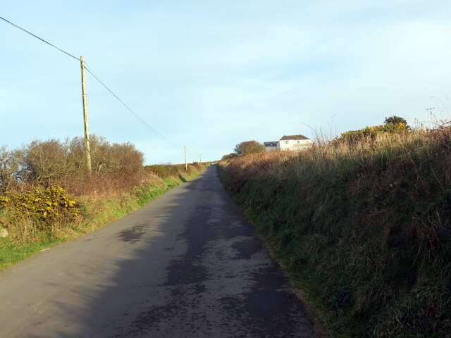
Allt y Bryn, located in Cardiganshire, is a picturesque wood or forest that spans across a vast area. The name Allt y Bryn translates to "the hillside" in Welsh, which accurately depicts its location on a gentle slope overlooking the surrounding countryside.
This woodland is characterized by its diverse range of trees and vegetation. The dominant tree species include oak, ash, and beech, which create a dense canopy that provides shelter and shade for various wildlife. The forest floor is covered with a rich carpet of wildflowers, ferns, and mosses, adding to its natural beauty.
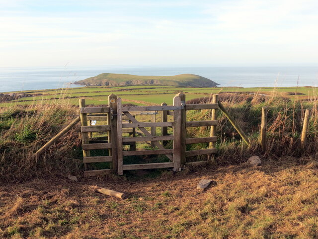
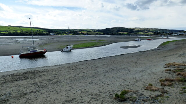
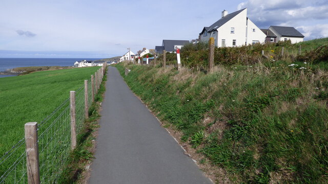
The wood is crisscrossed by several well-maintained footpaths, which allow visitors to explore its tranquil surroundings and enjoy the peaceful ambiance. These paths offer breathtaking views of the surrounding landscape, including rolling hills and meandering streams. The wood is also intersected by a small river, which further enhances its scenic appeal.
Allt y Bryn is a haven for wildlife enthusiasts and nature lovers. The forest is home to a wide variety of animals, including deer, squirrels, badgers, and an array of bird species. It is a birdwatcher's paradise, with sightings of woodpeckers, owls, and various songbirds being common.
In addition to its natural beauty, Allt y Bryn holds historical significance. It is believed to have been an ancient hunting ground for local lords and nobles. Archaeological remains, such as old stone walls and ruins, can still be found within the wood, adding an element of intrigue and mystery.
Overall, Allt y Bryn is a splendid woodland that offers a peaceful retreat for those seeking solace in nature. Its diverse flora and fauna, scenic vistas, and historical remnants make it a must-visit destination for anyone exploring Cardiganshire.
If you have any feedback on the listing, please let us know in the comments section below.
Allt y Bryn Images
Images are sourced within 2km of 52.106443/-4.6657473 or Grid Reference SN1748. Thanks to Geograph Open Source API. All images are credited.


Allt y Bryn is located at Grid Ref: SN1748 (Lat: 52.106443, Lng: -4.6657473)
Unitary Authority: Ceredigion
Police Authority: Dyfed Powys
What 3 Words
///bracing.refreshed.nickname. Near Cardigan, Ceredigion
Nearby Locations
Related Wikis
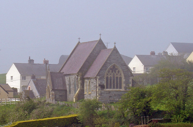
Y Ferwig
Y Ferwig (sometimes spelled Verwig) is a small village and community about 2 to 3 miles from Cardigan, Wales. == Amenities == The village is made up of...

River Teifi
The River Teifi (English: ; Welsh: Afon Teifi, pronounced [ˈavɔn ˈtei̯vi]) in Wales forms the boundary for most of its length between the counties of Ceredigion...

Gwbert
Gwbert (Welsh pronunciation: [ˈɡubɛrt]), also known as Gwbert-on-Sea, is a cliff-top coastal village in Y Ferwig community, Ceredigion, Wales. It lies...
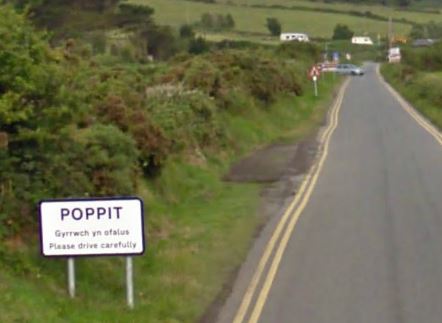
Poppit Sands
Poppit (Welsh: Poppit) is a small, dispersed settlement which lies on the southern side of the estuary of the River Teifi, near Cardigan, in northern Pembrokeshire...
Have you been to Allt y Bryn?
Leave your review of Allt y Bryn below (or comments, questions and feedback).