Banc-Saeson Wood
Wood, Forest in Pembrokeshire
Wales
Banc-Saeson Wood

Banc-Saeson Wood is a picturesque woodland located in the county of Pembrokeshire, Wales. Situated along the banks of the River Saeson, this enchanting forest covers an area of approximately 100 acres, making it a significant natural resource in the region.
The wood boasts a diverse range of tree species, including oak, beech, and birch, which create a rich tapestry of colors throughout the year. The dense canopy provides an ideal habitat for numerous wildlife species, including birds, squirrels, and deer, making it a popular destination for nature enthusiasts and photographers.
Tranquility and serenity are the hallmarks of Banc-Saeson Wood. Visitors can explore the forest through a network of well-maintained footpaths, allowing them to immerse themselves in the natural beauty of the surroundings. The paths wind through the woodland, offering breathtaking views of the river and its surrounding landscape.
Historically, Banc-Saeson Wood has played a vital role in the local community. In the past, the wood was used as a source of timber for construction and fuel, contributing to the region's economic growth. Today, it serves as a recreational space for locals and tourists alike, providing a peaceful retreat from the hustle and bustle of modern life.
Banc-Saeson Wood is easily accessible, with ample parking facilities and picnic areas available for visitors. Whether you are seeking a leisurely stroll, a family outing, or a peaceful spot to connect with nature, this charming woodland offers a delightful experience for all.
If you have any feedback on the listing, please let us know in the comments section below.
Banc-Saeson Wood Images
Images are sourced within 2km of 51.820342/-4.6575663 or Grid Reference SN1616. Thanks to Geograph Open Source API. All images are credited.


Banc-Saeson Wood is located at Grid Ref: SN1616 (Lat: 51.820342, Lng: -4.6575663)
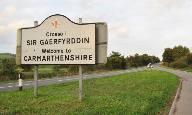
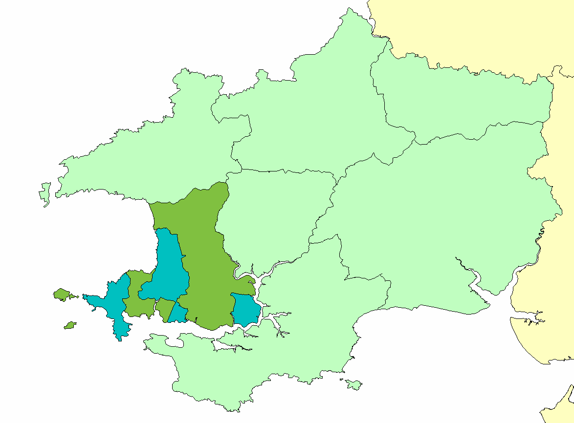
Unitary Authority: Pembrokeshire
Police Authority: Dyfed Powys
What 3 Words
///swimsuits.ticked.sponge. Near Whitland, Carmarthenshire
Nearby Locations
Related Wikis
Roose Hundred
The Hundred of Roose (sometimes called Rowse) was a hundred in Pembrokeshire, Wales. It has its origins in the pre-Norman cantref of Rhos and was formalised...

Afon Marlais, Pembrokeshire
The Afon Marlais is a right-bank tributary of the River Tâf in Pembrokeshire, West Wales. It flows through the Vale of Lampeter to join the Tâf just west...

Llanddewi Velfrey
Llanddewi Velfrey or Llandewi Velfrey (also Llan-ddewi-vel-vre) (Welsh: Llanddewi Efelffre) is a village, parish and community of Pembrokeshire in West...

Lampeter Velfrey
Lampeter Velfrey (Welsh: Llanbedr Felfre) is a community and parish in the county of Pembrokeshire, Wales, which lies 68.0 miles (109.4 km) from Cardiff...
Ysgol Dyffryn Taf School
Dyffryn Taf is the name of a Comprehensive School with both English and Welsh classes in Whitland, Carmarthenshire, Wales, United Kingdom. == History... ==
Clynderwen
Clynderwen (Welsh: Clunderwen; ) is a rural linear village and community, historically in Carmarthenshire in Wales, but administered as part of Pembrokeshire...

Landsker Borderlands Trail
The Landsker Borderlands Trail is a waymarked long distance footpath in the United Kingdom running through Pembrokeshire and Carmarthenshire in West Wales...
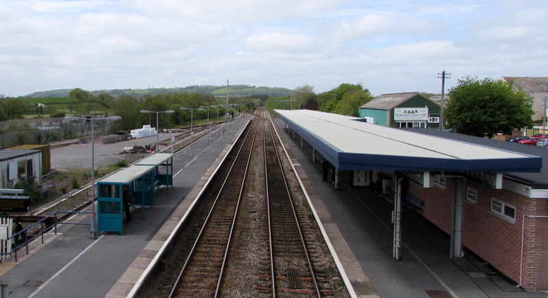
Whitland railway station
Whitland railway station serves the town of Whitland in Carmarthenshire, Wales. It is located on the West Wales Line from Swansea. To the west of the station...
Nearby Amenities
Located within 500m of 51.820342,-4.6575663Have you been to Banc-Saeson Wood?
Leave your review of Banc-Saeson Wood below (or comments, questions and feedback).