Carcoryn Wood

Wood, Forest in Pembrokeshire

Wales

Carcoryn Wood

Pengawse Farm The old A40 towards Pengawse Farm.
Pengawse Farm Credit: Alan Hughes

Carcoryn Wood is a picturesque woodland located in the county of Pembrokeshire, Wales. Situated in the southwestern part of the country, this beautiful forest covers an area of approximately 100 acres. The wood is known for its diverse range of flora and fauna, making it a popular destination for nature enthusiasts and wildlife lovers.

The woodland is predominantly made up of deciduous trees, with oak, beech, and ash being the dominant species. The dense canopy of these trees creates a peaceful and shaded environment, perfect for leisurely walks and hikes. The forest floor is covered with a thick layer of moss and ferns, providing a soft carpet-like feel underfoot.

Carcoryn Wood is home to a wide variety of wildlife, including several species of birds, mammals, and insects. Birdwatchers can spot species such as woodpeckers, owls, and various songbirds, while mammals like badgers, foxes, and squirrels can be glimpsed among the trees. The forest's diverse insect population includes butterflies, beetles, and dragonflies, adding to the rich biodiversity of the area.

The woodland is crisscrossed with well-maintained walking trails, allowing visitors to explore and appreciate its natural beauty. These paths lead visitors through ancient trees, babbling brooks, and tranquil ponds. There are also designated picnic areas where visitors can relax and enjoy a meal amidst the serene surroundings.

Carcoryn Wood offers a peaceful retreat from the hustle and bustle of everyday life, providing a haven for nature lovers and a sanctuary for wildlife. Its natural beauty and abundant wildlife make it a must-visit destination for anyone seeking a connection with nature.

If you have any feedback on the listing, please let us know in the comments section below.

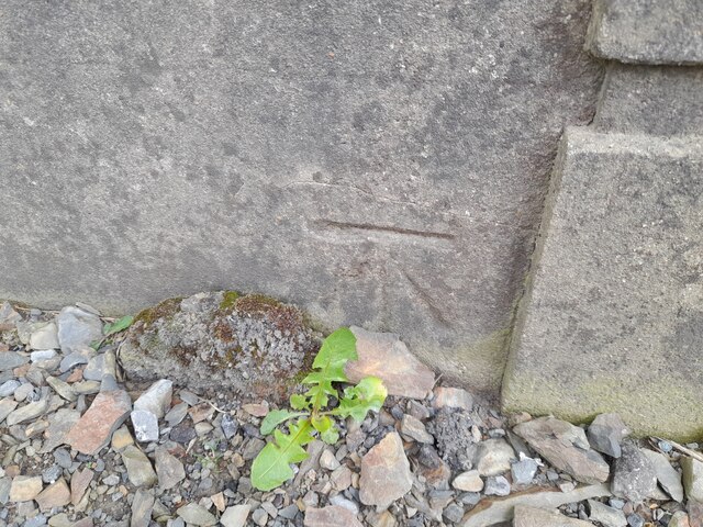
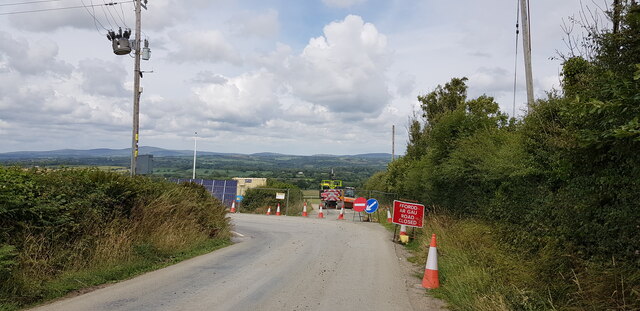
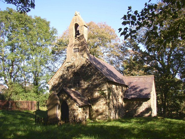
Carcoryn Wood Images

Images are sourced within 2km of 51.815589/-4.6712599 or Grid Reference SN1516. Thanks to Geograph Open Source API. All images are credited.

Pengawse Farm The old A40 towards Pengawse Farm.
Pengawse Farm
The old A40 towards Pengawse Farm.
Restricted access No longer much used, but this lane was the first of the three roads to negotiate Pengawse Hill between Whitland and Llanddewi Felffre
Restricted access
No longer much used, but this lane was the first of the three roads to negotiate Pengawse Hill between Whitland and Llanddewi Felffre
No way straight ahead The bales of hay are stored on what was actually the original road.  See also <a href="https://www.geograph.org.uk/photo/7019449">SN1717 : Restricted access</a>.
No way straight ahead
The bales of hay are stored on what was actually the original road. See also SN1717 : Restricted access.
Ordnance Survey Cut Mark This OS cut mark can be found on the stone gatepost south side of the road. It marks a point 97.128m above mean sea level.
Ordnance Survey Cut Mark
This OS cut mark can be found on the stone gatepost south side of the road. It marks a point 97.128m above mean sea level.
Ordnance Survey Cut Mark This OS cut mark can be found on the stone gatepost SE side of the road. It marks a point 101.826m above mean sea level.
Ordnance Survey Cut Mark
This OS cut mark can be found on the stone gatepost SE side of the road. It marks a point 101.826m above mean sea level.
Ordnance Survey Cut Mark This OS cut mark can be found on the wall of Pen Cwmmen Cottage. It marks a point 116.519m above mean sea level.
Ordnance Survey Cut Mark
This OS cut mark can be found on the wall of Pen Cwmmen Cottage. It marks a point 116.519m above mean sea level.
Ordnance Survey Cut Mark This OS cut mark can be found on the SW angle of the Bethel Chapel. It marks a point 111.073m above mean sea level.
Ordnance Survey Cut Mark
This OS cut mark can be found on the SW angle of the Bethel Chapel. It marks a point 111.073m above mean sea level.
House in a dip, Llanddewi Felffre, Pembrokeshire
Llanddewi Velfrey Village Hall
Crescent of Houses, Llanddewi Velfry
Llanddewi Velfry Bypass Under Construction The new bypass is being built to the north of the village and will be around two kilometres long.
Llanddewi Velfry Bypass Under Construction
The new bypass is being built to the north of the village and will be around two kilometres long.
Road Diversion, Llanddewi Velfry At the time of photographing the lane north out of the village was not closed, but merely diverted around and across the construction site of the village bypass, which will be around two kilometres long.
Road Diversion, Llanddewi Velfry
At the time of photographing the lane north out of the village was not closed, but merely diverted around and across the construction site of the village bypass, which will be around two kilometres long.
Driveway to Bryn Farm
St Peter's Church Lampeter Velfrey - seat
St Peter's Church Lampeter Velfrey - graveyard
St Peter's Church Lampeter Velfrey
St Peter's Church Lampeter Velfrey - graveyard
Show me another place!

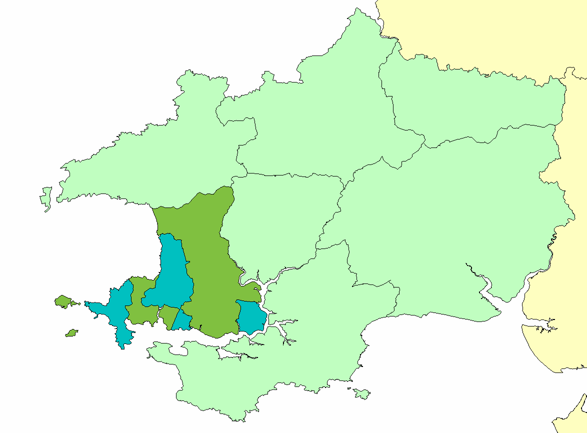
Carcoryn Wood is located at Grid Ref: SN1516 (Lat: 51.815589, Lng: -4.6712599)

Unitary Authority: Pembrokeshire

Police Authority: Dyfed Powys

What 3 Words

///saucepan.mincing.increased. Near Whitland, Carmarthenshire

Related Wikis

Roose Hundred

The Hundred of Roose (sometimes called Rowse) was a hundred in Pembrokeshire, Wales. It has its origins in the pre-Norman cantref of Rhos and was formalised...

Llanddewi Velfrey

Llanddewi Velfrey or Llandewi Velfrey (also Llan-ddewi-vel-vre) (Welsh: Llanddewi Efelffre) is a village, parish and community of Pembrokeshire in West...

Lampeter Velfrey

Lampeter Velfrey (Welsh: Llanbedr Felfre) is a community and parish in the county of Pembrokeshire, Wales, which lies 68.0 miles (109.4 km) from Cardiff...

Clynderwen

Clynderwen (Welsh: Clunderwen; ) is a rural linear village and community, historically in Carmarthenshire in Wales, but administered as part of Pembrokeshire...

Nearby Amenities

Located within 500m of 51.815589,-4.6712599
Design: h-frame
Power: tower
Lat/Long: 51.8113206/-4.6712681
Design: h-frame
Power: tower
Lat/Long: 51.8116665/-4.6699074
Design: h-frame
Power: tower
Lat/Long: 51.8121912/-4.6678189
Design: h-frame
Power: tower
Lat/Long: 51.812657/-4.6660924
Direction: WSW
Generator Method: photovoltaic
Generator Output Electricity: yes
Generator Solar Modules: 16
Generator Source: solar
Generator Type: solar_photovoltaic_panel
Location: roof
Power: generator
Lat/Long: 51.8130408/-4.675433
The data included in this document is from www.openstreetmap.org. The data is made available under ODbL.

Have you been to Carcoryn Wood?

Leave your review of Carcoryn Wood below (or comments, questions and feedback).