Blaengwaith-Noah Wood

Wood, Forest in Pembrokeshire

Wales

Blaengwaith-Noah Wood

Cut benchmark, Ludchurch St Elidyr's Church Left hand side of door.
Cut benchmark, Ludchurch St Elidyr's Church Credit: John Jenkins

The requested URL returned error: 429 Too Many Requests

If you have any feedback on the listing, please let us know in the comments section below.

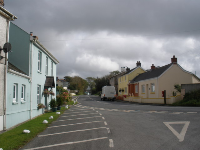
Blaengwaith-Noah Wood Images

Images are sourced within 2km of 51.781028/-4.683484 or Grid Reference SN1412. Thanks to Geograph Open Source API. All images are credited.

Cut benchmark, Ludchurch St Elidyr's Church Left hand side of door.
Cut benchmark, Ludchurch St Elidyr's Church
Left hand side of door.
CBM Cut Mark on Chapel.
CBM
Cut Mark on Chapel.
Approaching B4314
Approaching B4314
St Elidyr’s Church, Ludchurch For a detailed description of the church see <span class="nowrap"><a title="https://www.dyfedarchaeology.org.uk/wp/discovery/projects/churches/st-elidyr-ludchurch-pembrokeshire/" rel="nofollow ugc noopener" href="https://www.dyfedarchaeology.org.uk/wp/discovery/projects/churches/st-elidyr-ludchurch-pembrokeshire/">Link</a><img style="margin-left:2px;" alt="External link" title="External link - shift click to open in new window" src="https://s1.geograph.org.uk/img/external.png" width="10" height="10"/></span>
St Elidyr’s Church, Ludchurch
For a detailed description of the church see LinkExternal link
Footpath from Ludchurch to Westerton
Holiday chalets, Ludchurch
Lakeside holiday chalets
Glanrhyd Chapel - gate into Baptism area
Glanrhyd Chapel - Baptism area By the river - I think the Baptism pool is the dark area just to the right of centre.
Glanrhyd Chapel - Baptism area
By the river - I think the Baptism pool is the dark area just to the right of centre.
Glanrhyd Chapel - river
Field near Glanrhyd Chapel
Crossroads near Glanrhyd Chapel
River by Glanrhyd Chapel
Glanrhyd Chapel - Baptism field area
Glanrhyd Chapel - gate into Baptism area
Show me another place!

Blaengwaith-Noah Wood is located at Grid Ref: SN1412 (Lat: 51.781028, Lng: -4.683484)

Unitary Authority: Pembrokeshire

Police Authority: Dyfed Powys

What 3 Words

///lordship.choppy.degree. Near Templeton, Pembrokeshire

Related Wikis

Carmarthen West and South Pembrokeshire (Senedd constituency)

Carmarthen West and South Pembrokeshire (Welsh: Gorllewin Caerfyrddin a De Sir Benfro) is a constituency of the Senedd. It elects one Member of the Senedd...

Lampeter Velfrey

Lampeter Velfrey (Welsh: Llanbedr Felfre) is a community and parish in the county of Pembrokeshire, Wales, which lies 68.0 miles (109.4 km) from Cardiff...

Cold Blow

Cold Blow (or Coldblow) is a hamlet about 2 miles (3.2 km) southeast of Narberth in Pembrokeshire, southwest Wales. It lies on the B4315 Princes Gate to...

Crinow

Crinow (Welsh: Crynwedd) is a village and parish in Pembrokeshire, Wales, 2 kilometres (1.2 mi) east of Narberth. The parish is part of the community...

Nearby Amenities

Located within 500m of 51.781028,-4.683484
Direction: 165
Generator Method: photovoltaic
Generator Output Electricity: yes
Generator Solar Modules: 4
Generator Source: solar
Generator Type: solar_photovoltaic_panel
Location: roof
Power: generator
Lat/Long: 51.7812319/-4.6890888
Direction: 165
Generator Method: photovoltaic
Generator Output Electricity: yes
Generator Solar Modules: 16
Generator Source: solar
Generator Type: solar_photovoltaic_panel
Location: roof
Power: generator
Lat/Long: 51.7809977/-4.6886667
Direction: 175
Generator Method: photovoltaic
Generator Output Electricity: yes
Generator Solar Modules: 8
Generator Source: solar
Generator Type: solar_photovoltaic_panel
Location: roof
Power: generator
Lat/Long: 51.777886/-4.6834642
Direction: 175
Generator Method: photovoltaic
Generator Output Electricity: yes
Generator Solar Modules: 8
Generator Source: solar
Generator Type: solar_photovoltaic_panel
Location: roof
Power: generator
Lat/Long: 51.777886/-4.6835446
The data included in this document is from www.openstreetmap.org. The data is made available under ODbL.

Have you been to Blaengwaith-Noah Wood?

Leave your review of Blaengwaith-Noah Wood below (or comments, questions and feedback).