Burcott

Settlement in Somerset Mendip

England

Burcott

Glencot House Historical house having been a crammer school in the 1950's has now been restored and is a beautiful restaurant and inn with beautifully restored gardens.
Glencot House Credit: judy buckingham

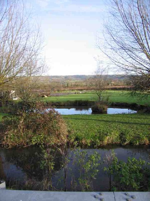
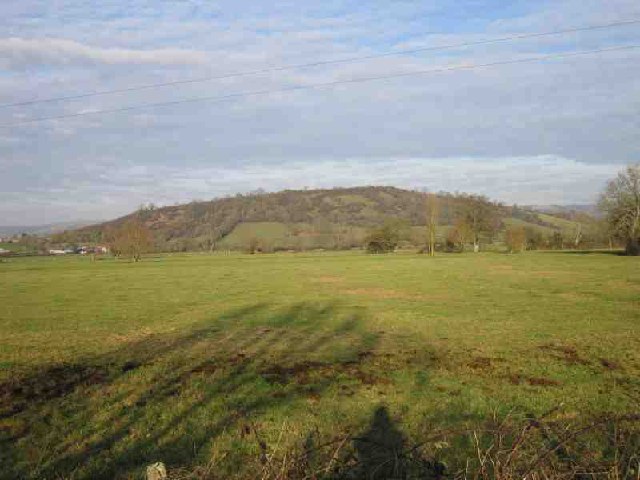
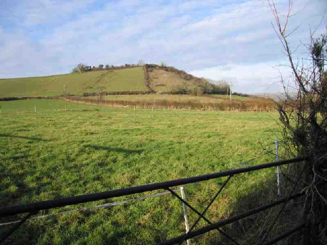
Burcott is a small village located in the county of Somerset, England. Situated approximately 5 miles south of Wells, it falls within the Mendip district. The village is nestled in the picturesque countryside, surrounded by rolling hills and farmland.

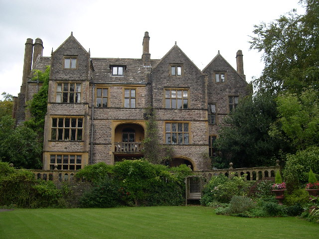
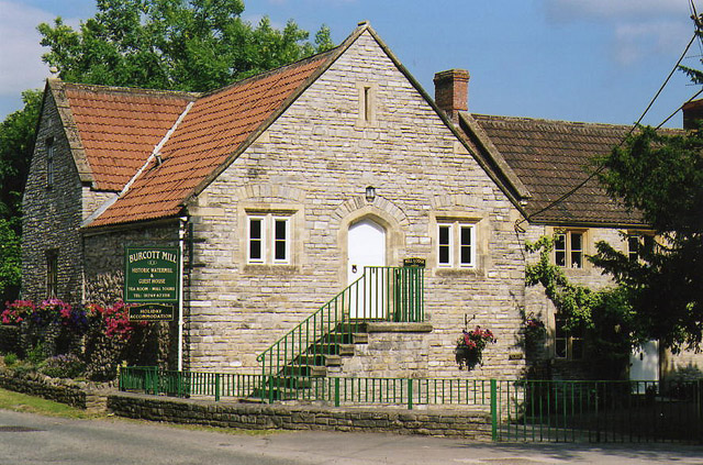
With a population of around 200 residents, Burcott exudes a quiet and serene atmosphere. The village is characterized by a collection of charming old cottages and farmhouses, many of which date back several centuries. The architecture reflects the traditional Somerset style, with stone exteriors and thatched roofs.

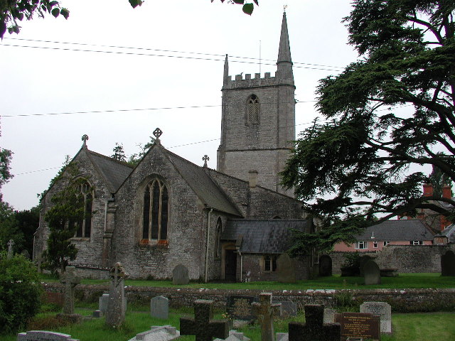
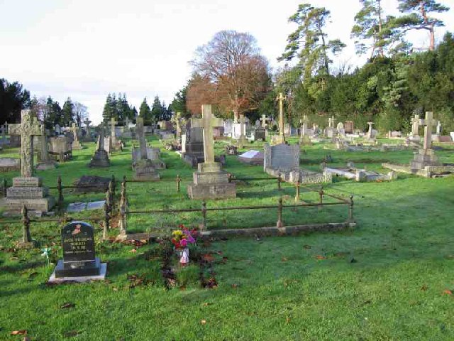
Although small, Burcott has a strong sense of community. The village features a local church, St. Michael and All Angels, which serves as a focal point for residents. The church, dating back to the 12th century, is a notable example of medieval architecture.

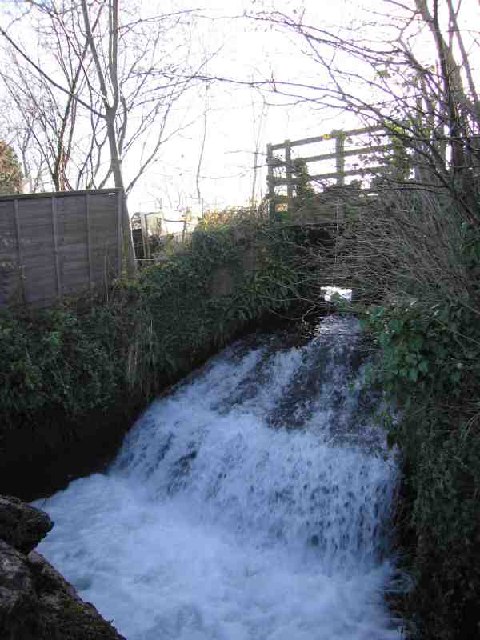
Being in close proximity to the Mendip Hills, Burcott offers ample opportunities for outdoor activities. The village lies on the edge of the Mendip Plateau, providing residents with stunning views and access to beautiful walking trails.

Despite its rural location, Burcott benefits from its proximity to nearby towns and cities. Wells, with its magnificent cathedral and historic center, is only a short drive away. Additionally, the city of Bristol is within commuting distance, offering residents access to a wider range of amenities and employment opportunities.

Overall, Burcott is a tranquil village that provides a peaceful retreat for its residents, while still offering convenient access to nearby towns and the natural beauty of the Mendip Hills.

If you have any feedback on the listing, please let us know in the comments section below.

Burcott Images

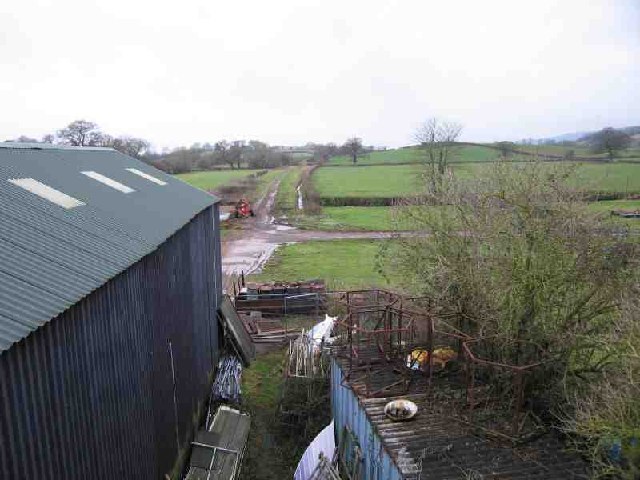
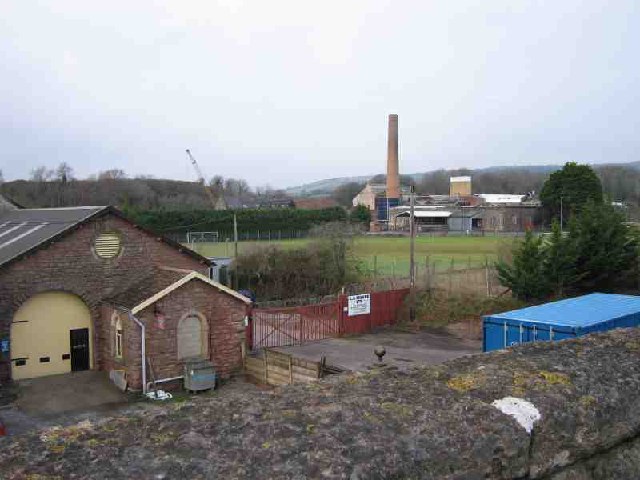
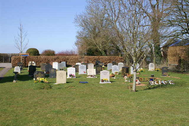
Images are sourced within 2km of 51.204949/-2.68319 or Grid Reference ST5245. Thanks to Geograph Open Source API. All images are credited.

Glencot House Historical house having been a crammer school in the 1950's has now been restored and is a beautiful restaurant and inn with beautifully restored gardens.
Glencot House
Historical house having been a crammer school in the 1950's has now been restored and is a beautiful restaurant and inn with beautifully restored gardens.
Wookey (Somerset) St Matthew's church Not to be confused with Wookey Hole which has its own church.
Wookey (Somerset) St Matthew's church
Not to be confused with Wookey Hole which has its own church.
Wells Fire Station Wells Fire Station, Burcott Road, Wells, Somerset.
Wells Fire Station
Wells Fire Station, Burcott Road, Wells, Somerset.
Mill Pond Run-Off The Mill Pond Run-Off at Burcott Mill. From here the stream follows the road and contours (canal-like) to the west. It appears in geographs at <a href="https://www.geograph.org.uk/gridref/ST4845">ST4845</a> and <a href="https://www.geograph.org.uk/gridref/ST5045">ST5045</a>
Mill Pond Run-Off
The Mill Pond Run-Off at Burcott Mill. From here the stream follows the road and contours (canal-like) to the west. It appears in geographs at ST4845 and ST5045
Stream and Pond Near foreground shows the stream that follows the road from Burcott Mill <a href="https://www.geograph.org.uk/gridref/ST5245">ST5245</a> to Bleadney <a href="https://www.geograph.org.uk/gridref/ST4845">ST4845</a> where it drops down on to the levels and joins the river Axe. Beyond that is a duck pond. In the distance are the Mendip Hills where Ebbor Gorge <a href="https://www.geograph.org.uk/gridref/ST5248">ST5248</a> can be seen.
Stream and Pond
Near foreground shows the stream that follows the road from Burcott Mill ST5245 to Bleadney ST4845 where it drops down on to the levels and joins the river Axe. Beyond that is a duck pond. In the distance are the Mendip Hills where Ebbor Gorge ST5248 can be seen.
Wells Cemetery Wells Cemetery is shown on the 1940's map.
Wells Cemetery
Wells Cemetery is shown on the 1940's map.
Wells, St Cuthbert Out: Burcott Mill A 19th century watermill powered by a leat from the river Axe. Restored to working order in 1990 and now open to the public and offering accommodation. The internal waterwheel, cast by ironfounders Bodley Brothers, of Exeter, dates from 1864. See <span class="nowrap"><a title="http://www.burcottmill.com/pages/firstpage.htm" rel="nofollow ugc noopener" href="http://www.burcottmill.com/pages/firstpage.htm">Link</a><img style="margin-left:2px;" alt="External link" title="External link - shift click to open in new window" src="https://s1.geograph.org.uk/img/external.png" width="10" height="10"/></span> for details of opening times. By the B3139 Wells – Burnham-on-Sea road
Wells, St Cuthbert Out: Burcott Mill
A 19th century watermill powered by a leat from the river Axe. Restored to working order in 1990 and now open to the public and offering accommodation. The internal waterwheel, cast by ironfounders Bodley Brothers, of Exeter, dates from 1864. See LinkExternal link for details of opening times. By the B3139 Wells – Burnham-on-Sea road
Ben Knowle Hill It's a Hill. One of many that sticks out from the Somerset Levels. This one in particular is part or a chain that runs West from Wells. Others are isolated; I'll be bagging those soon.
Ben Knowle Hill
It's a Hill. One of many that sticks out from the Somerset Levels. This one in particular is part or a chain that runs West from Wells. Others are isolated; I'll be bagging those soon.
Stream near Melsbury Yet another stream helping to manage the water on the Levels. Despite clearly flowing, the smoothness of the surface gave an excellent reflection.
Stream near Melsbury
Yet another stream helping to manage the water on the Levels. Despite clearly flowing, the smoothness of the surface gave an excellent reflection.
Hay Hill Hay Hill is one of the chain to the West of Wells. The side is steeper than it looks.
Hay Hill
Hay Hill is one of the chain to the West of Wells. The side is steeper than it looks.
Old Railway The track of an old railway running NW out of Wells can be seen. The line was a victim of Beeching. The shed in the foreground (built over the line) is used by one of the Carnival Clubs for building their elaborate floats.
Old Railway
The track of an old railway running NW out of Wells can be seen. The line was a victim of Beeching. The shed in the foreground (built over the line) is used by one of the Carnival Clubs for building their elaborate floats.
St Cuthberts Paper Mill St Cuthberts Paper Mill is in the distance where the chimney is. You can see demonstrations of paper making if you visit the Wookey Hole cave complex (where Wookey paper mill is). The building in the foreground is an old station on the now disused railway line that ran from Wells to Cheddar.
St Cuthberts Paper Mill
St Cuthberts Paper Mill is in the distance where the chimney is. You can see demonstrations of paper making if you visit the Wookey Hole cave complex (where Wookey paper mill is). The building in the foreground is an old station on the now disused railway line that ran from Wells to Cheddar.
Greenfields Parish of Wookey Cemetery on Doctor's Hill
Greenfields Parish of Wookey
Cemetery on Doctor's Hill
The River Sheppey The River Sheppey flowing westwards towards the Somerset Levels from just to the west of Woodford Bridge.
The River Sheppey
The River Sheppey flowing westwards towards the Somerset Levels from just to the west of Woodford Bridge.
Keward Brook The brook is flowing towards the photographer past a new housing estate on the left.  Approximately a mile further west the brook joins the River Sheppey and heads off towards the Somerset Levels.
Keward Brook
The brook is flowing towards the photographer past a new housing estate on the left. Approximately a mile further west the brook joins the River Sheppey and heads off towards the Somerset Levels.
Hay Hill A view of Hay Hill (and to the right Ben Knowle and Fenny Hill) from the B3139.
Hay Hill
A view of Hay Hill (and to the right Ben Knowle and Fenny Hill) from the B3139.
Sunset from Milton Hill The picture was taken from beside Underwood quarry. The hills in the right background are the Quantocks.
Sunset from Milton Hill
The picture was taken from beside Underwood quarry. The hills in the right background are the Quantocks.
Ben Knowle Hill Ben Knowle Hill is an SSSI because of a rare rock type found on its northern flanks.  Mendip council describes it as 'species-rich calcareous grassland, scrub and broadleaved woodland.'
Ben Knowle Hill
Ben Knowle Hill is an SSSI because of a rare rock type found on its northern flanks. Mendip council describes it as 'species-rich calcareous grassland, scrub and broadleaved woodland.'
Show me another place!

Burcott is located at Grid Ref: ST5245 (Lat: 51.204949, Lng: -2.68319)

Administrative County: Somerset

District: Mendip

Police Authority: Avon and Somerset

What 3 Words

///owls.puddings.snipped. Near Wells, Somerset

Nearby Locations

Burcott

Related Wikis

Wookey

Wookey is a village and civil parish 2 miles (3.2 km) west of Wells, on the River Axe in Somerset, England. The parish includes the village of Henton and...

Ben Knowle

Ben Knowle (grid reference ST513450) is a 1.5 hectare geological Site of Special Scientific Interest in Somerset, notified in 1984. Ben Knowle is a natural...

Wookey railway station

Wookey railway station was a station on the Bristol and Exeter Railway's Cheddar Valley line in Somerset, England. The site is a 0.04 hectare geological...

St Cuthberts Mill

St Cuthberts Mill is a British paper manufacturing company in Wells, Somerset, that specialises in mould made artists papers. The range includes traditional...

Nearby Amenities

Located within 500m of 51.204949,-2.68319
Somerleaze
Place: hamlet
Source: New Popular Edition
Lat/Long: 51.2047416/-2.6887503
Burcott
Place: hamlet
Source: New Popular Edition
Lat/Long: 51.2046878/-2.6800814
Pub
The Burcott Inn
Lat/Long: 51.2078839/-2.6871127
Material: wood
Power: pole
Lat/Long: 51.2093074/-2.6834066
Material: wood
Power: pole
Lat/Long: 51.2092133/-2.6810341
Material: wood
Power: pole
Lat/Long: 51.2092612/-2.682225
Material: wood
Power: pole
Lat/Long: 51.2093393/-2.6846095
Post Box
Mapillary: 123099187530821
Operator: Royal Mail
Operator Wikidata: Q638098
Post Box Mounting: wooden_post
Post Box Type: lamp
Lat/Long: 51.2078011/-2.6869578
The data included in this document is from www.openstreetmap.org. The data is made available under ODbL.

Have you been to Burcott?

Leave your review of Burcott below (or comments, questions and feedback).