Bryn-aeron Wood

Wood, Forest in Pembrokeshire

Wales

Bryn-aeron Wood

Angel Inn, Llandissilio
Angel Inn, Llandissilio Credit: Roger Cornfoot

The requested URL returned error: 429 Too Many Requests

If you have any feedback on the listing, please let us know in the comments section below.

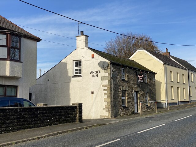
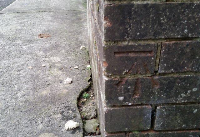
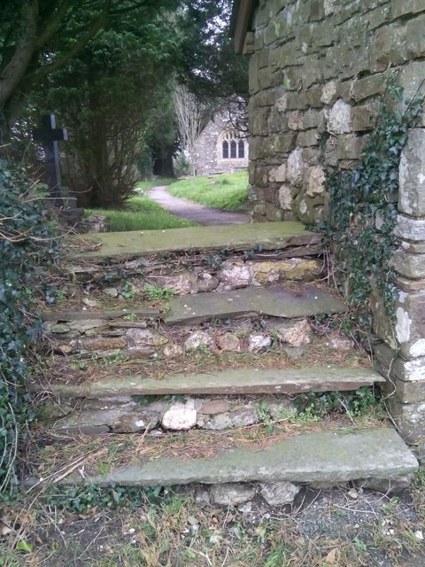
Bryn-aeron Wood Images

Images are sourced within 2km of 51.858339/-4.7193113 or Grid Reference SN1221. Thanks to Geograph Open Source API. All images are credited.

Angel Inn, Llandissilio
Blaen Conin Chapel, Llandissilio
Crossroads near Llandissilio
Croeso i’r Ysgol Brynconin Croeso - welcome to Brynconin Primary School.
Croeso i’r Ysgol Brynconin
Croeso - welcome to Brynconin Primary School.
Angel Inn, Llandissilio
The Bush Inn, Llandissilio
The Bush Inn, Llandissilio Now appears to be permanently closed.
The Bush Inn, Llandissilio
Now appears to be permanently closed.
Church of St Tysilio
Approaching Redhill School
Passing place Passing place on the narrow country lane to Bethesda.
Passing place
Passing place on the narrow country lane to Bethesda.
Nant y Ffîn Motel, Clunderwen
Parc y Bryn Roadside house near Llandissilio.
Parc y Bryn
Roadside house near Llandissilio.
Ordnance Survey Cut Mark This OS cut mark can be found on the roadside building at the burial ground. It marks a point 82.556m above mean sea level.
Ordnance Survey Cut Mark
This OS cut mark can be found on the roadside building at the burial ground. It marks a point 82.556m above mean sea level.
Ordnance Survey Cut Mark This OS cut mark can be found on the garage showroom. It marks a point 108.492m above mean sea level.
Ordnance Survey Cut Mark
This OS cut mark can be found on the garage showroom. It marks a point 108.492m above mean sea level.
Ordnance Survey Flush Bracket (S0681) This OS Flush Bracket can be found on the east face of St Tysilios Church. It marks a point 112.188m above mean sea level.
Ordnance Survey Flush Bracket (S0681)
This OS Flush Bracket can be found on the east face of St Tysilios Church. It marks a point 112.188m above mean sea level.
Entrance gate to Church of Saint Tysilio, Llandissilio
Entrance steps to Church of Saint Tysilio, Llandissilio
Church of Saint Tysilio, Llandissilio, Pembrokeshire
Show me another place!

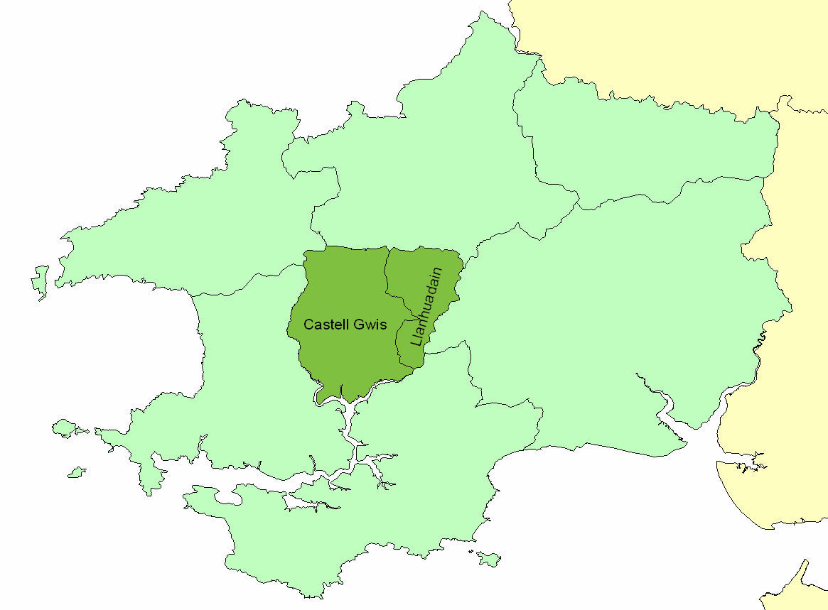
Bryn-aeron Wood is located at Grid Ref: SN1221 (Lat: 51.858339, Lng: -4.7193113)

Unitary Authority: Pembrokeshire

Police Authority: Dyfed Powys

What 3 Words

///nerd.refrain.nibbled. Near Narberth, Pembrokeshire

Related Wikis

Llandissilio

Llandissilio is a village and parish in the community of Llandissilio West in east Pembrokeshire, Wales on the A478 road between Efailwen to the north...

Dungleddy

The Hundred of Dungleddy was a hundred in the centre of Pembrokeshire, Wales. It had its origins in the pre-Norman cantref of Deugleddyf. It derives its...

Clunderwen railway station

Clunderwen railway station serves the village of Clynderwen (Welsh: Clunderwen) in Pembrokeshire, Wales. The station is unmanned. It is a request stop...

Beag Fair Siding railway station

Beag Fair Siding railway station served the village of Clynderwen, Pembrokeshire, Wales, from 1878 to 1949 on the Narberth Road and Maenclochog Railway...

Nearby Amenities

Located within 500m of 51.858339,-4.7193113
Give Way
Direction: backward
Lat/Long: 51.8604786/-4.7137521
Parking
Parking: layby
Lat/Long: 51.8604704/-4.7132234
Barrier: kissing_gate
Lat/Long: 51.8598343/-4.7196017
The data included in this document is from www.openstreetmap.org. The data is made available under ODbL.

Have you been to Bryn-aeron Wood?

Leave your review of Bryn-aeron Wood below (or comments, questions and feedback).