Allt Clyn-gwyn
Wood, Forest in Carmarthenshire
Wales
Allt Clyn-gwyn

Allt Clyn-gwyn is a woodland located in Carmarthenshire, Wales. It covers an area of approximately 100 hectares and is situated in the picturesque countryside near the village of Llangadog. The woodland is predominantly composed of native species such as oak, ash, and birch trees, which create a diverse and vibrant ecosystem.
The terrain of Allt Clyn-gwyn is varied, with undulating hills and valleys, providing a scenic landscape for visitors to explore. There are several footpaths and trails that wind through the woodland, allowing for leisurely walks and hikes. The paths are well-maintained and provide access to the different parts of the woodland, ensuring visitors can fully experience its natural beauty.
The woodland is teeming with wildlife, making it a haven for nature enthusiasts. Birdwatchers can expect to spot a variety of species, including woodpeckers, owls, and various songbirds. Other animals that can be found in Allt Clyn-gwyn include deer, foxes, and badgers.
In addition to its natural beauty, Allt Clyn-gwyn is also historically significant. The woodland has been used by humans for centuries, with evidence of ancient settlements and burial grounds found within its boundaries. This adds an interesting dimension to the woodland, providing a glimpse into the area's past.
Allt Clyn-gwyn is a popular destination for both locals and tourists alike, offering a tranquil and picturesque setting for nature lovers and history enthusiasts to explore and enjoy.
If you have any feedback on the listing, please let us know in the comments section below.
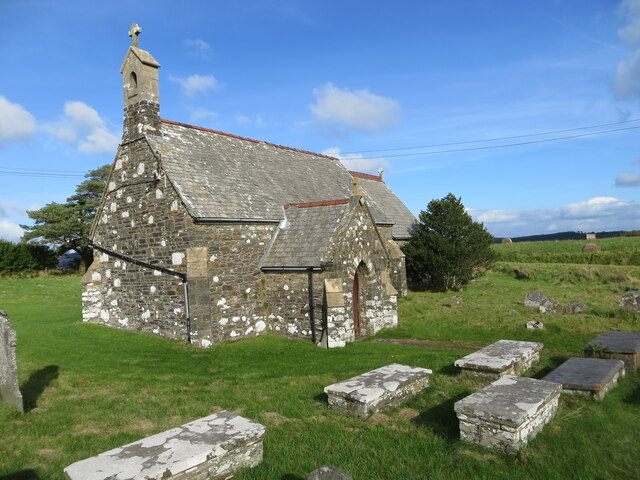
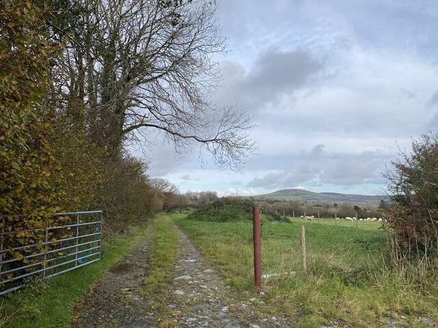
Allt Clyn-gwyn Images
Images are sourced within 2km of 51.900537/-4.7281554 or Grid Reference SN1225. Thanks to Geograph Open Source API. All images are credited.


Allt Clyn-gwyn is located at Grid Ref: SN1225 (Lat: 51.900537, Lng: -4.7281554)
Unitary Authority: Pembrokeshire
Police Authority: Dyfed Powys
What 3 Words
///stub.dislodge.poetry. Near Glandwr, Pembrokeshire
Nearby Locations
Related Wikis

Llangolman
Llangolman () is a village and parish in the southeastern Preseli Hills in Pembrokeshire, Wales. It is part of the community of Mynachlog-ddu. There are...

A478 road
The A478 road is a major road in Wales. The route is from its junction with the A487 at Cardigan, Ceredigion, to Tenby, Pembrokeshire. It crosses the Preseli...

Kingdom of Dyfed
The Kingdom of Dyfed (Welsh pronunciation: ['dəvɛd]), one of several Welsh petty kingdoms that emerged in 5th-century sub-Roman Britain in southwest Wales...
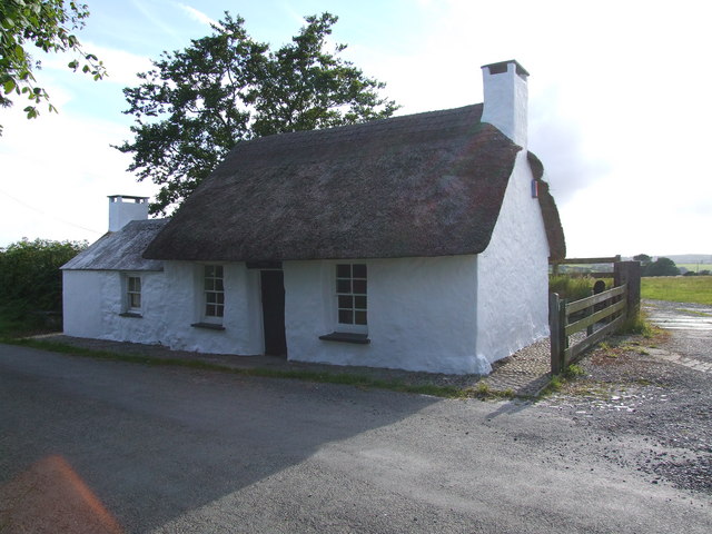
Penrhos Cottage
Penrhos Cottage is a very small cottage situated to the south east of Maenclochog. It was built as a ty un nos (house built in one night) around 1800,...
Nearby Amenities
Located within 500m of 51.900537,-4.7281554Have you been to Allt Clyn-gwyn?
Leave your review of Allt Clyn-gwyn below (or comments, questions and feedback).