Blackaldern Wood
Wood, Forest in Pembrokeshire
Wales
Blackaldern Wood
The requested URL returned error: 429 Too Many Requests
If you have any feedback on the listing, please let us know in the comments section below.
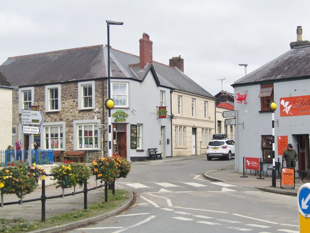
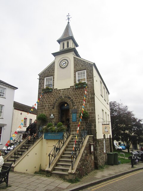
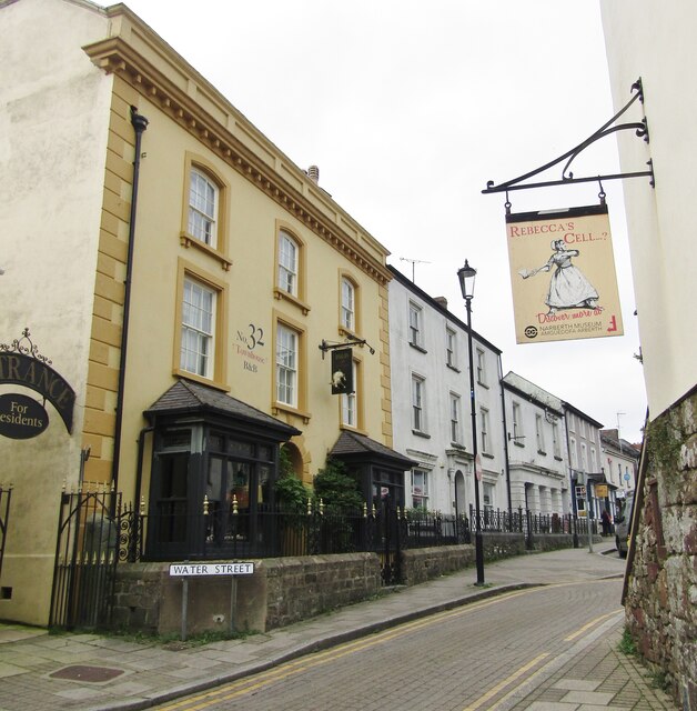
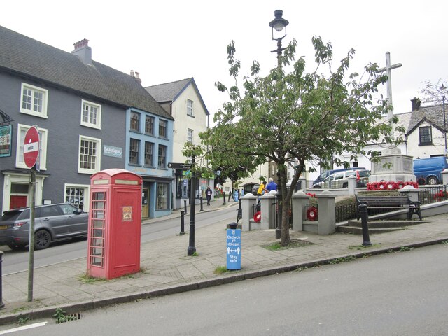
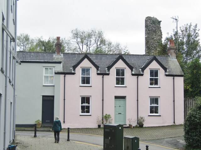
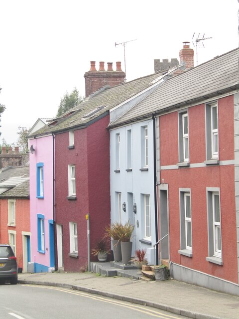
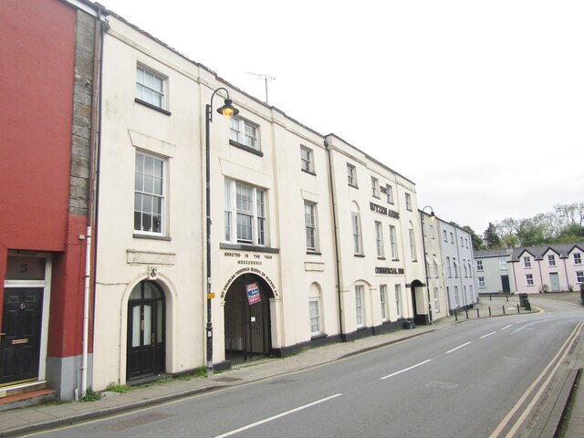
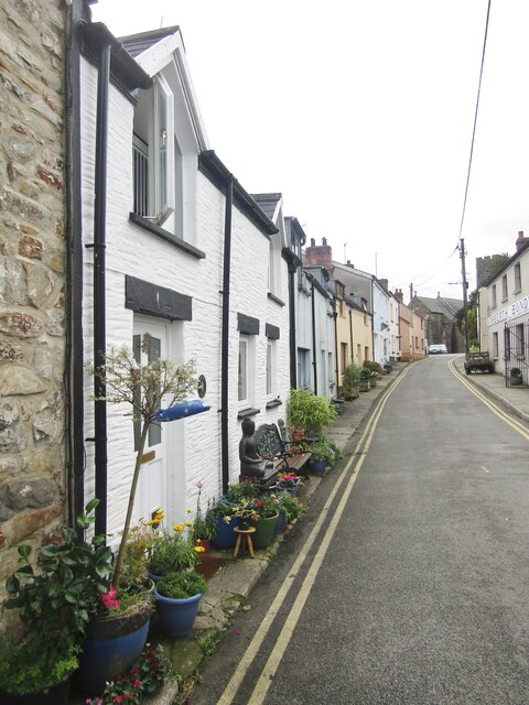
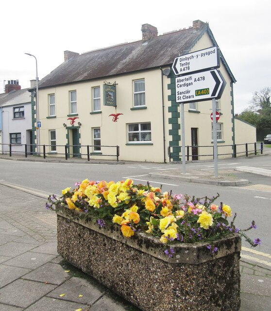
Blackaldern Wood Images
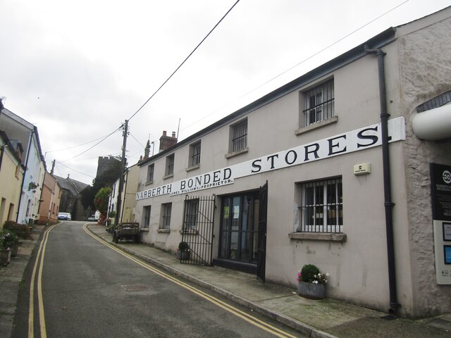
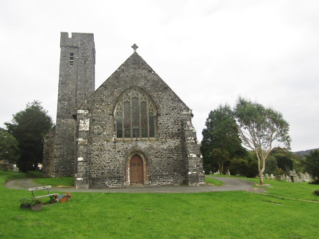
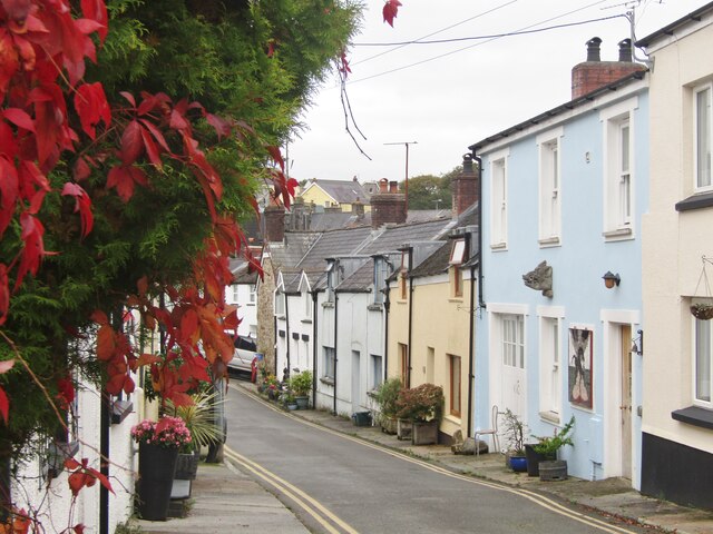
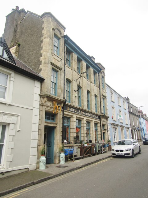
Images are sourced within 2km of 51.794603/-4.7243348 or Grid Reference SN1214. Thanks to Geograph Open Source API. All images are credited.


Blackaldern Wood is located at Grid Ref: SN1214 (Lat: 51.794603, Lng: -4.7243348)
Unitary Authority: Pembrokeshire
Police Authority: Dyfed Powys
What 3 Words
///lighters.goods.sharpen. Near Narberth, Pembrokeshire
Nearby Locations
Related Wikis
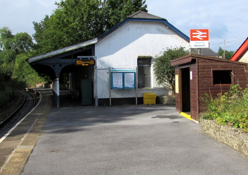
Narberth railway station (Wales)
Narberth railway station serves the town of Narberth, Pembrokeshire, Wales. The station is on the West Wales Line, 19¾ miles (32 km) west of Carmarthen...

Crinow
Crinow (Welsh: Crynwedd) is a village and parish in Pembrokeshire, Wales, 2 kilometres (1.2 mi) east of Narberth. The parish is part of the community...
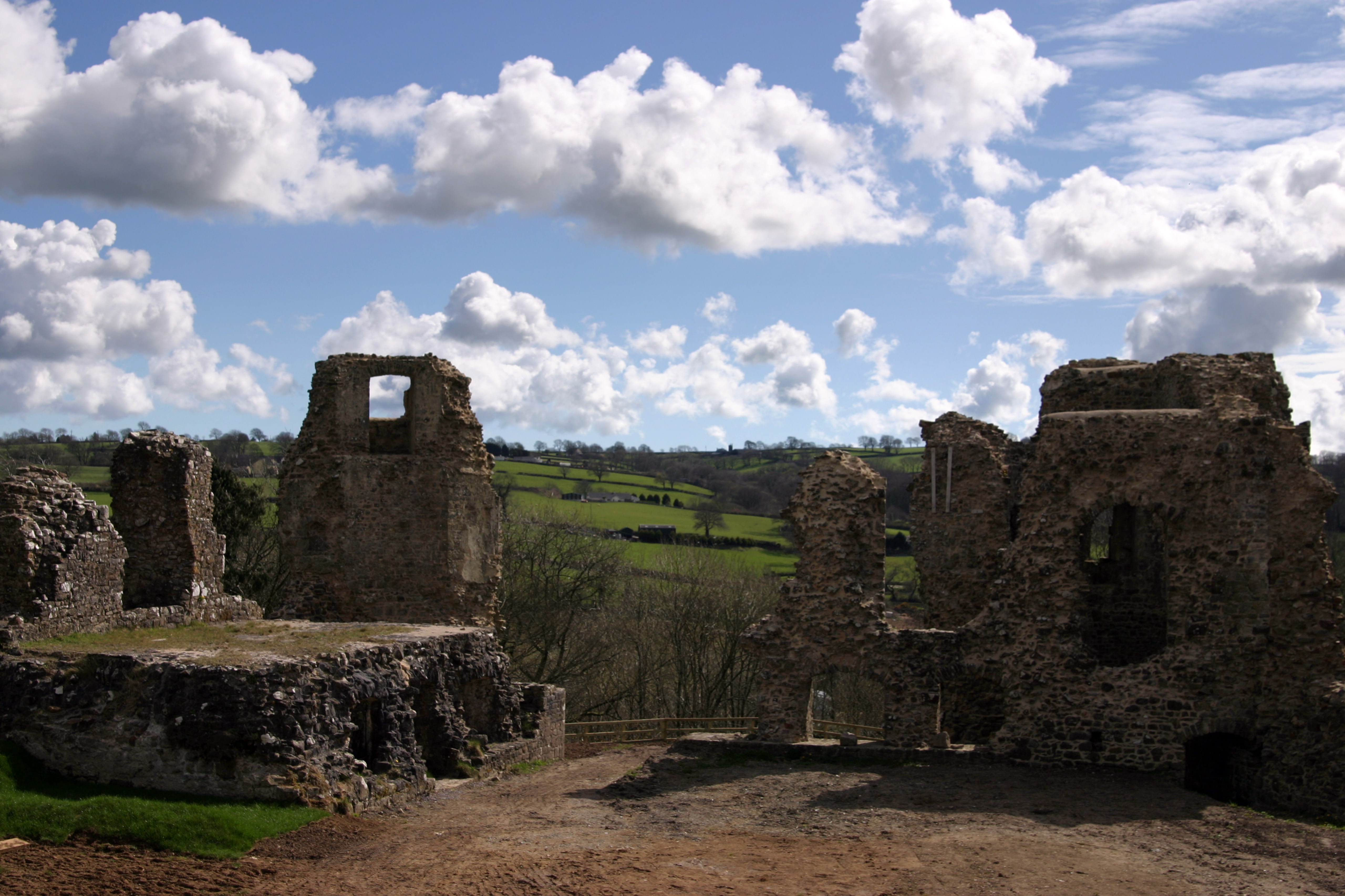
Narberth Castle
Narberth Castle (Welsh: Castell Arberth) is a ruined Norman fortress in the town of Narberth, Pembrokeshire, West Wales. It forms part of the Landsker...
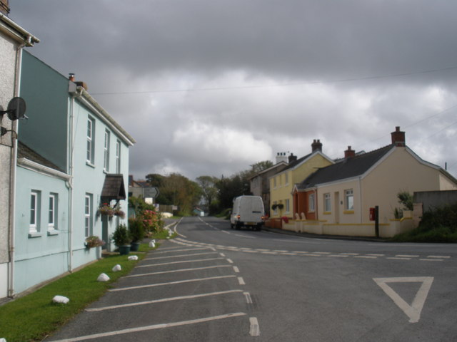
Cold Blow
Cold Blow (or Coldblow) is a hamlet about 2 miles (3.2 km) southeast of Narberth in Pembrokeshire, southwest Wales. It lies on the B4315 Princes Gate to...
Nearby Amenities
Located within 500m of 51.794603,-4.7243348Have you been to Blackaldern Wood?
Leave your review of Blackaldern Wood below (or comments, questions and feedback).