Allt Henllys

Wood, Forest in Pembrokeshire

Wales

Allt Henllys

Puffin image on a View Point This image also appears on advertising for local potatoes, coastal shuttle buses and various food products - all things Pembroke! The viewpoint is in a lay-by on the A487 heading west towards Felindre Farchog
Puffin image on a View Point Credit: Eirian Evans

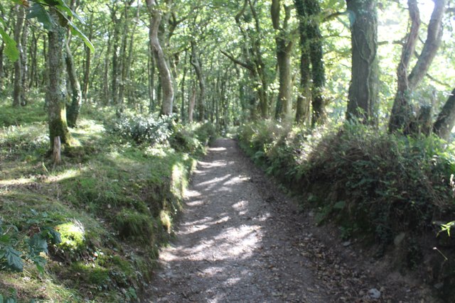
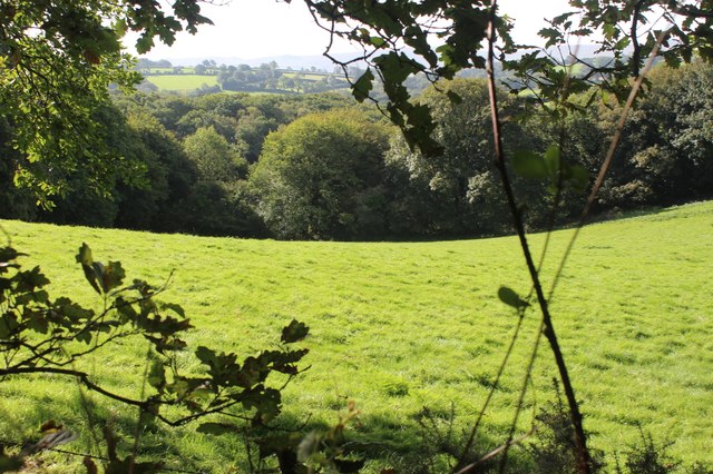
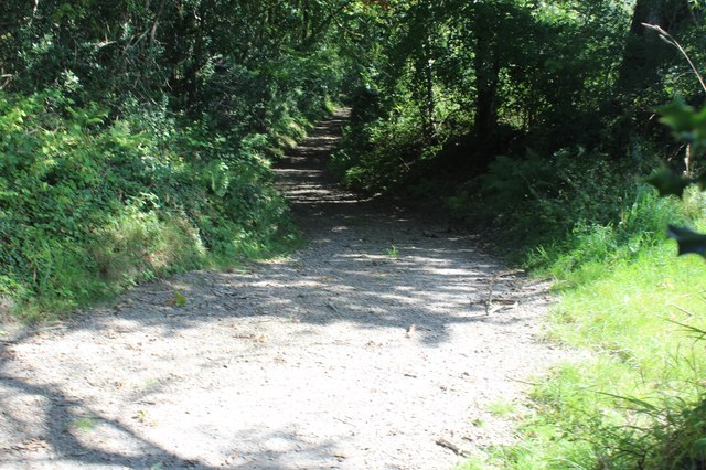
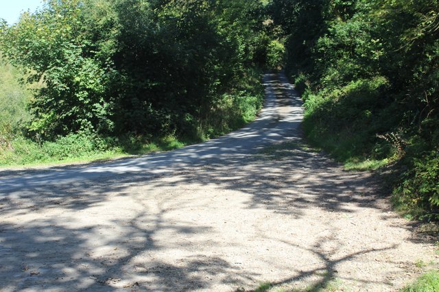
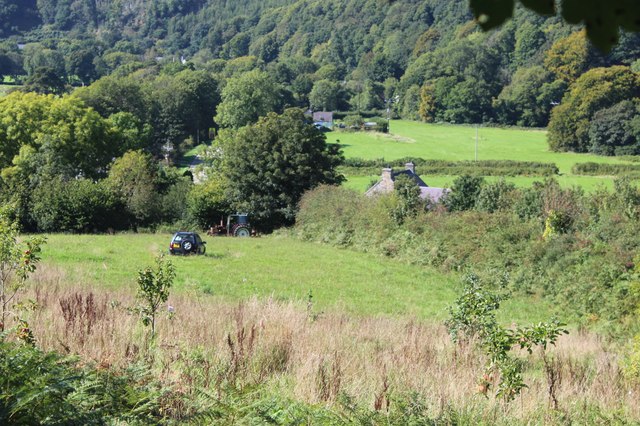
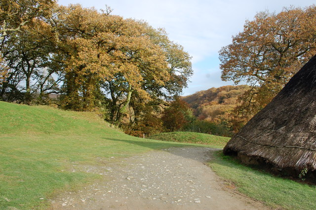
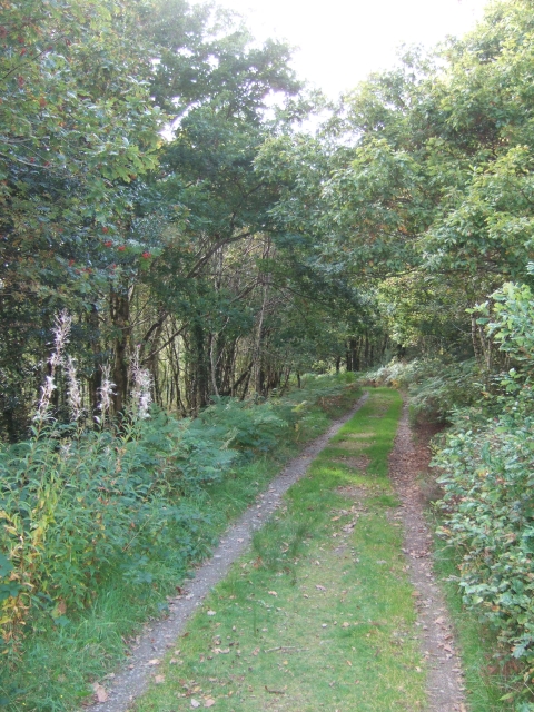
Allt Henllys is a mesmerizing woodland situated in the picturesque county of Pembrokeshire, Wales. Spanning across an expansive area, this enchanting forest is renowned for its lush greenery, diverse flora, and serene ambiance. The woodland is nestled within the rolling hills of the Preseli Mountains, offering visitors breathtaking views of the surrounding countryside.

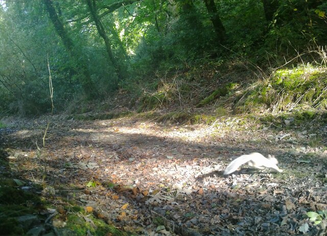
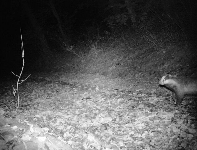
The forest is predominantly composed of native broadleaf trees such as oak, beech, and ash, creating a rich and diverse ecosystem. The canopy of the woodland provides a haven for a plethora of bird species, including woodpeckers, owls, and various songbirds. Additionally, the forest floor is adorned with a vibrant carpet of wildflowers, adding to the area's natural beauty.

Allt Henllys is not only a haven for nature enthusiasts but also holds historical significance. The forest is home to the remains of an Iron Age hillfort, which can be explored by visitors. The ancient fort provides a glimpse into the lives of the people who inhabited the area thousands of years ago, with remnants of defensive structures and living areas still visible.

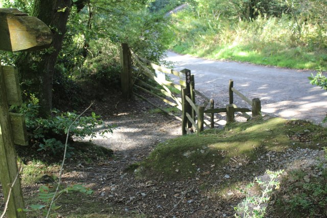
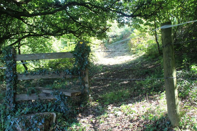
For those seeking outdoor activities, Allt Henllys offers numerous walking trails, allowing visitors to immerse themselves in the tranquility of the woodland. These trails cater to different fitness levels and provide opportunities to spot wildlife, admire the stunning views, and reconnect with nature.

Overall, Allt Henllys is a captivating destination for individuals looking to explore the beauty of Pembrokeshire's woodlands while also delving into its rich historical past.

If you have any feedback on the listing, please let us know in the comments section below.
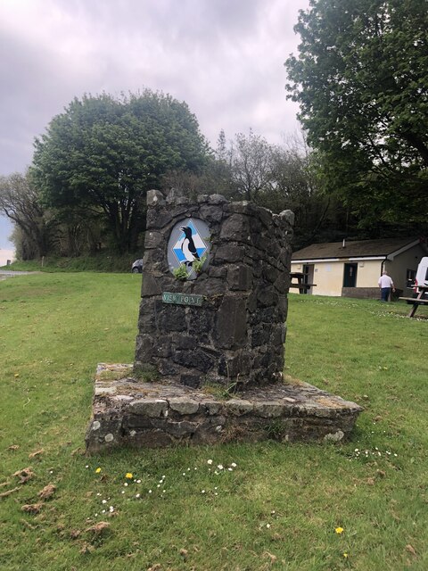
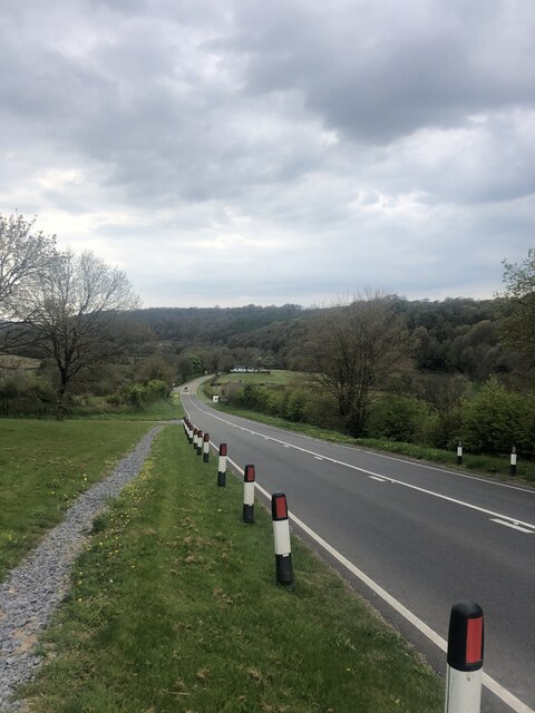
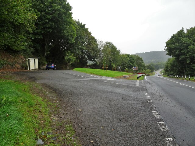
Allt Henllys Images

Images are sourced within 2km of 52.023731/-4.7426481 or Grid Reference SN1139. Thanks to Geograph Open Source API. All images are credited.

Puffin image on a View Point This image also appears on advertising for local potatoes, coastal shuttle buses and various food products - all things Pembroke! The viewpoint is in a lay-by on the A487 heading west towards Felindre Farchog
Puffin image on a View Point
This image also appears on advertising for local potatoes, coastal shuttle buses and various food products - all things Pembroke! The viewpoint is in a lay-by on the A487 heading west towards Felindre Farchog
A487 heading downhill towards Felindre Farchog
Lay-by off A487 near Wenallt
The A487 passing through Felindre
Old  school and courthouse, Felindre Farchog At the side of the road, the plaque by the front door states it was originally a College dating from the early C17 It later became"Llysdy Arglwydd Cemmaes" (Courthouse of the lords of Cemmaes) and has now been refurbished as a private dwelling
Old school and courthouse, Felindre Farchog
At the side of the road, the plaque by the front door states it was originally a College dating from the early C17 It later became"Llysdy Arglwydd Cemmaes" (Courthouse of the lords of Cemmaes) and has now been refurbished as a private dwelling
Track in Pengelli Forest with squirrel Taken in daylight at 08:58 with a wildlife camera, attached to a tree by the track. See <a title="https://www.geograph.org.uk/photo/7588512" href="https://www.geograph.org.uk/photo/7588512">Link</a> for a night view with a badger.
Track in Pengelli Forest with squirrel
Taken in daylight at 08:58 with a wildlife camera, attached to a tree by the track. See Link for a night view with a badger.
Badger at night in Pengelli Forest Taken in infra-red at 23:53 with a wildlife camera, attached to a tree by the track.
See <a title="https://www.geograph.org.uk/photo/7587266" href="https://www.geograph.org.uk/photo/7587266">Link</a> for a daytime view.
Badger at night in Pengelli Forest
Taken in infra-red at 23:53 with a wildlife camera, attached to a tree by the track. See Link for a daytime view.
Gated entrance to Pant-teg Wood Start of permissive footpath on track into Pengelli Forest NNR, Wildlife Trust of South & West Wales.
Gated entrance to Pant-teg Wood
Start of permissive footpath on track into Pengelli Forest NNR, Wildlife Trust of South & West Wales.
Track in Pant-teg Wood Track through oak woodland from entrance to Pengelli Forest NNR.
Track in Pant-teg Wood
Track through oak woodland from entrance to Pengelli Forest NNR.
Meadow by Pant-teg Wood Hillside meadow between Pant-teg Wood, to the east, and minor road.
Meadow by Pant-teg Wood
Hillside meadow between Pant-teg Wood, to the east, and minor road.
Track by woodland Public footpath on stony track.
Track by woodland
Public footpath on stony track.
Minor road up from Felindre Farchog Narrow road carrying NCR 82 through part of the North Pembrokeshire woodlands.
Minor road up from Felindre Farchog
Narrow road carrying NCR 82 through part of the North Pembrokeshire woodlands.
Hillside field above A487 Grass fields in valley.
Hillside field above A487
Grass fields in valley.
Stile on bank by A487 Stile at top of steps at start of public footpath towards Pen-y-benglog. The stile seems to be further east than shown on the OS map.
Stile on bank by A487
Stile at top of steps at start of public footpath towards Pen-y-benglog. The stile seems to be further east than shown on the OS map.
Castell Henllys Looking north east from inside the ramparts of the iron age hill fort. Part of one of the excellent reconstructions of round houses to the right.
Castell Henllys
Looking north east from inside the ramparts of the iron age hill fort. Part of one of the excellent reconstructions of round houses to the right.
Meline Parish Church From the approach road to Castell Henllys hill fort.
Meline Parish Church
From the approach road to Castell Henllys hill fort.
View from parking area on the A487 Looking across the valley of Nant Duad to the woodland on the other side.
View from parking area on the A487
Looking across the valley of Nant Duad to the woodland on the other side.
Felindre Farchog The eastern end of the village looking out of the centre.
Felindre Farchog
The eastern end of the village looking out of the centre.
Show me another place!

Allt Henllys is located at Grid Ref: SN1139 (Lat: 52.023731, Lng: -4.7426481)

Unitary Authority: Pembrokeshire

Police Authority: Dyfed Powys

What 3 Words

///hesitate.slopes.stepping. Near Nevern, Pembrokeshire

Related Wikis

Castell Henllys

Castell Henllys (Welsh, "castle of the old court") is an archaeological site near Nevern in north Pembrokeshire, Wales. The Iron Age hillfort has been...

Meline, Pembrokeshire

Meline (also recorded as Meliney and Melinau) is a parish in the Diocese of St David's in north Pembrokeshire, Wales. There is no settlement of this name...

Church of St Dogfael, Meline

The Church of St Dogfael, Meline, Pembrokeshire, Wales is a redundant church dating from the 19th century. A Grade II listed building, the church is now...

Pengelli National Nature Reserve

Pengelli National Nature Reserve is part of the largest block of ancient oak woodland in West Wales. It has survived for hundreds of years, despite being...

Nearby Amenities

Located within 500m of 52.023731,-4.7426481
Ford: yes
Lat/Long: 52.0207753/-4.7427185
Shelter
Lat/Long: 52.0226826/-4.7365719
The data included in this document is from www.openstreetmap.org. The data is made available under ODbL.

Have you been to Allt Henllys?

Leave your review of Allt Henllys below (or comments, questions and feedback).