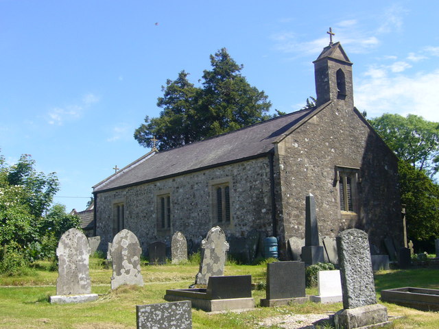
Brechfa Woods
Wood, Forest in Pembrokeshire
Wales
Brechfa Woods

Brechfa Woods is a picturesque woodland located in Pembrokeshire, Wales. This scenic forest covers an area of approximately 650 hectares, making it one of the largest forests in the region. The woods are nestled in the heart of the Brechfa Forest, near the village of Brechfa.
The woodland is predominantly composed of native tree species such as oak, beech, and birch. These towering trees create a dense canopy that provides a habitat for a wide variety of wildlife, including birds, mammals, and insects. Brechfa Woods is particularly renowned for its woodland bird species, making it a popular destination for birdwatchers.
The forest offers a network of well-maintained trails and paths that wind through the woodland, allowing visitors to explore its natural beauty. These trails cater to different abilities, with options for both leisurely strolls and more challenging hikes. Along the way, visitors can enjoy the tranquility of the forest, breathe in the fresh air, and immerse themselves in nature.
Brechfa Woods also boasts a mountain biking trail known as the Brechfa Forest Mountain Bike Trails. This purpose-built, adrenaline-pumping trail system attracts mountain bikers from near and far, with options for riders of all skill levels. The trails wind through the forest, offering breathtaking views and exciting challenges.
Overall, Brechfa Woods is a stunning natural gem in Pembrokeshire, offering a perfect escape for nature lovers, hikers, and mountain biking enthusiasts alike. Its abundant wildlife, beautiful trails, and serene atmosphere make it a must-visit destination for anyone seeking a connection with nature.
If you have any feedback on the listing, please let us know in the comments section below.
Brechfa Woods Images
Images are sourced within 2km of 51.861556/-4.761469 or Grid Reference SN0921. Thanks to Geograph Open Source API. All images are credited.
Brechfa Woods is located at Grid Ref: SN0921 (Lat: 51.861556, Lng: -4.761469)
Unitary Authority: Pembrokeshire
Police Authority: Dyfed Powys
What 3 Words
///searcher.native.nametag. Near Narberth, Pembrokeshire
Nearby Locations
Related Wikis
Beag Fair Siding railway station
Beag Fair Siding railway station served the village of Clynderwen, Pembrokeshire, Wales, from 1878 to 1949 on the Narberth Road and Maenclochog Railway...
Llanycefn railway station
Llanycefn railway station, also known as Llan-y-cefn railway station, served the hamlet of Llanycefn, Pembrokeshire in the parish of Maenclochog, Wales...
Llandissilio
Llandissilio is a village and parish in the community of Llandissilio West in east Pembrokeshire, Wales on the A478 road between Efailwen to the north...
Bletherston
Bletherston (Welsh: Trefelen) is a small settlement and parish in Pembrokeshire, Wales. It is in the middle of eastern Pembrokeshire, 6 miles (9.7 km)...
Nearby Amenities
Located within 500m of 51.861556,-4.761469Have you been to Brechfa Woods?
Leave your review of Brechfa Woods below (or comments, questions and feedback).


