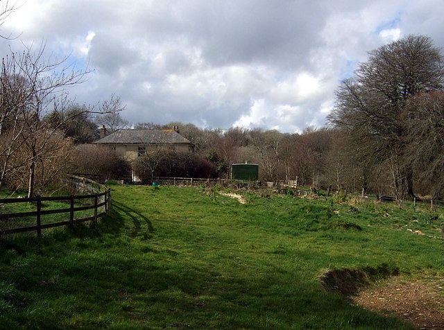
Allt Fach
Wood, Forest in Pembrokeshire
Wales
Allt Fach

The requested URL returned error: 429 Too Many Requests
If you have any feedback on the listing, please let us know in the comments section below.
Allt Fach Images
Images are sourced within 2km of 51.900313/-4.7734853 or Grid Reference SN0926. Thanks to Geograph Open Source API. All images are credited.


Allt Fach is located at Grid Ref: SN0926 (Lat: 51.900313, Lng: -4.7734853)
Unitary Authority: Pembrokeshire
Police Authority: Dyfed Powys
What 3 Words
///tabs.wolves.animal. Near Ambleston, Pembrokeshire
Nearby Locations
Related Wikis
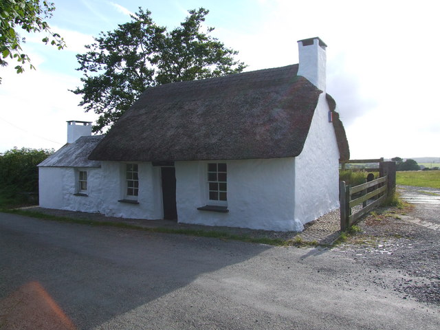
Penrhos Cottage
Penrhos Cottage is a very small cottage situated to the south east of Maenclochog. It was built as a ty un nos (house built in one night) around 1800,...
Temple Druid
Temple Druid is a grade II listed John Nash house in west Wales, Pembrokeshire, Great Britain. Temple Druid, named after a series of standing stones and...

Llandeilo Llwydarth
Llandeilo Llwydarth () or Llandilo is an ancient area and parish in the Preseli Hills between Llangolman and Maenclochog in the community of Maenclochog...
Maenclochog
Maenclochog () is a village, parish and community in Pembrokeshire, south-west Wales. It is also the name of an electoral ward comprising a wider area...
Nearby Amenities
Located within 500m of 51.900313,-4.7734853Have you been to Allt Fach?
Leave your review of Allt Fach below (or comments, questions and feedback).