Allt y Ceunant

Wood, Forest in Pembrokeshire

Wales

Allt y Ceunant

Ford at Rhyd-afallen This ford (rhyd) is found at Rhyd-afallen on Afon Rhyd-afallen.
Ford at Rhyd-afallen Credit: John Walton

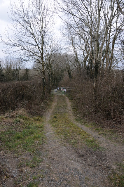
Allt y Ceunant is a beautiful wooded area located in Pembrokeshire, Wales. This forested area is known for its diverse range of plant and animal species, making it a popular destination for nature enthusiasts and hikers alike. The forest is characterized by its dense canopy of trees, including oak, beech, and birch, which provide a habitat for a variety of bird species such as woodpeckers, owls, and warblers.

Tranquil streams and waterfalls can be found throughout Allt y Ceunant, adding to the serene atmosphere of the forest. Visitors can enjoy peaceful walks along the winding paths that meander through the trees, taking in the sights and sounds of the natural surroundings.

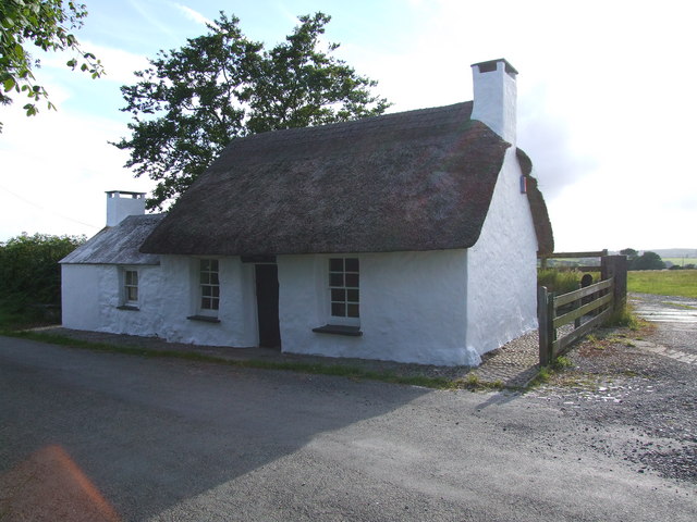
Allt y Ceunant is also home to a number of historic sites, including ancient ruins and burial mounds, which offer a glimpse into the area's rich cultural heritage. Whether you're looking to explore the natural beauty of the forest or immerse yourself in its history, Allt y Ceunant is a must-visit destination for anyone seeking a peaceful retreat in the heart of Pembrokeshire.

If you have any feedback on the listing, please let us know in the comments section below.

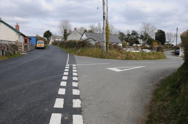
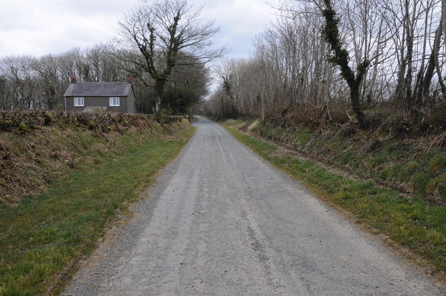
Allt y Ceunant Images

Images are sourced within 2km of 51.883245/-4.7886375 or Grid Reference SN0824. Thanks to Geograph Open Source API. All images are credited.

Ford at Rhyd-afallen This ford (rhyd) is found at Rhyd-afallen on Afon Rhyd-afallen.
Ford at Rhyd-afallen
This ford (rhyd) is found at Rhyd-afallen on Afon Rhyd-afallen.
Fferm Cefn Nos - or is it Cefnos?  Anyway, that’s where the track leads!
Fferm Cefn Nos
- or is it Cefnos? Anyway, that’s where the track leads!
Leafy lane to Gilfach Uchaf See also <a href="https://www.geograph.org.uk/photo/893817">SN0824 : Leafy lane to Gilfach Uchaf</a> for the same shot 12 years ago.
Leafy lane to Gilfach Uchaf
See also SN0824 : Leafy lane to Gilfach Uchaf for the same shot 12 years ago.
Road junction in Penffordd Road junction in the hamlet of Penffordd.
Road junction in Penffordd
Road junction in the hamlet of Penffordd.
Farm buildings at Rhyd-afallen Farm buildings beside the road at Rhyd-afallen.
Farm buildings at Rhyd-afallen
Farm buildings beside the road at Rhyd-afallen.
View to Posty Farm View to Posty Farm to the north of Penffordd.
View to Posty Farm
View to Posty Farm to the north of Penffordd.
Milk churn stand What appears to be an old milk churn stand opposite the entrance to Posty Farm near Penffordd.
Milk churn stand
What appears to be an old milk churn stand opposite the entrance to Posty Farm near Penffordd.
Track to Ty-newydd Wood A private track to Ty-newydd Wood near Penffordd.
Track to Ty-newydd Wood
A private track to Ty-newydd Wood near Penffordd.
Road past Upper Gate Plantation Country road past a cottage and Upper Gate Plantation near New Moat.
Road past Upper Gate Plantation
Country road past a cottage and Upper Gate Plantation near New Moat.
Track to Quarter Cefn Cattle grid at the entrance to a track to Quarter Cefn to the south of Maenclochog.
Track to Quarter Cefn
Cattle grid at the entrance to a track to Quarter Cefn to the south of Maenclochog.
View to the Preseli Hills View to the Preseli Hills from near Maenclochog.
View to the Preseli Hills
View to the Preseli Hills from near Maenclochog.
Roll beside the B4313 Farm roll beside the B4313 to the south of Maenclochog.
Roll beside the B4313
Farm roll beside the B4313 to the south of Maenclochog.
Drive to Gilfach Uchaf Drive off the B4313 to Gilfach Uchaf.
Drive to Gilfach Uchaf
Drive off the B4313 to Gilfach Uchaf.
Drive to Gilfach Uchaf Drive to Gilfach Uchaf off the B4313.
Drive to Gilfach Uchaf
Drive to Gilfach Uchaf off the B4313.
Track to farmland Track to farmland off the B4313 near Llanycefn.
Track to farmland
Track to farmland off the B4313 near Llanycefn.
The B4313 approaching Llanycefn
Farmland at Llanycefn Farmland at Llanycefn to the east of the B4313.
Farmland at Llanycefn
Farmland at Llanycefn to the east of the B4313.
Road Narrows ahead A “road narrows on both sides” and " Araf/Slow" road signs on the B4313 heading for Narberth from Maenclochog.
Road Narrows ahead
A “road narrows on both sides” and " Araf/Slow" road signs on the B4313 heading for Narberth from Maenclochog.
Show me another place!

Allt y Ceunant is located at Grid Ref: SN0824 (Lat: 51.883245, Lng: -4.7886375)

Unitary Authority: Pembrokeshire

Police Authority: Dyfed Powys

What 3 Words

///reap.household.stress. Near Ambleston, Pembrokeshire

Related Wikis

New Moat

New Moat (Welsh: Y Mot) is a village, parish and community in Pembrokeshire, Wales. It extends from the southern edges of Mynydd Preseli to the Pembrokeshire...

Llanycefn railway station

Llanycefn railway station, also known as Llan-y-cefn railway station, served the hamlet of Llanycefn, Pembrokeshire in the parish of Maenclochog, Wales...

Bletherston

Bletherston (Welsh: Trefelen) is a small settlement and parish in Pembrokeshire, Wales. It is in the middle of eastern Pembrokeshire, 6 miles (9.7 km)...

Penrhos Cottage

Penrhos Cottage is a very small cottage situated to the south east of Maenclochog. It was built as a ty un nos (house built in one night) around 1800,...

Nearby Amenities

Located within 500m of 51.883245,-4.7886375
Rhyd-hir
Place: farm
Lat/Long: 51.8812574/-4.7851613
Man Made: utility_pole
Lat/Long: 51.8810026/-4.7870724
Man Made: utility_pole
Lat/Long: 51.8805659/-4.7885481
Man Made: utility_pole
Lat/Long: 51.8823025/-4.7918625
The data included in this document is from www.openstreetmap.org. The data is made available under ODbL.

Have you been to Allt y Ceunant?

Leave your review of Allt y Ceunant below (or comments, questions and feedback).