Allt Fâch
Wood, Forest in Pembrokeshire
Wales
Allt Fâch
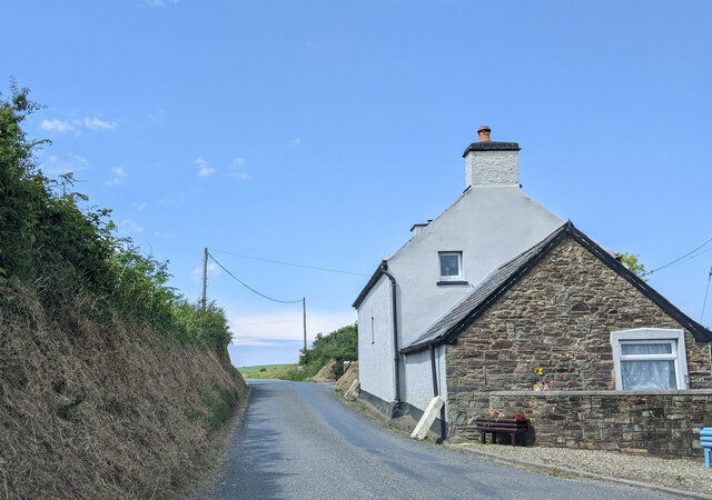
Allt Fâch is a picturesque woodland area located in the county of Pembrokeshire, Wales. Spread over a vast expanse of land, this enchanting forest is known for its natural beauty and diverse flora and fauna.
The woodland is situated in the heart of the Pembrokeshire Coast National Park, a protected area renowned for its stunning landscapes and rich biodiversity. Allt Fâch boasts a variety of native trees, including oak, beech, and ash, which provide a lush and verdant canopy that stretches as far as the eye can see. The forest floor is covered with a thick carpet of ferns, mosses, and wildflowers, creating a tranquil and serene atmosphere.
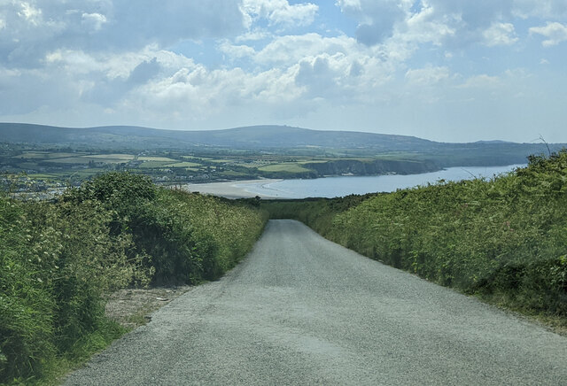
The woodland is crisscrossed by a network of walking trails, allowing visitors to explore its hidden nooks and crannies. These paths wind through the forest, leading to secluded spots and offering breathtaking views of the surrounding countryside. The area is particularly popular with hikers and nature enthusiasts, who are drawn to its peaceful ambiance and the chance to spot wildlife such as deer, squirrels, and a variety of bird species.
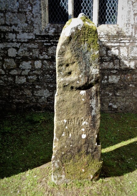
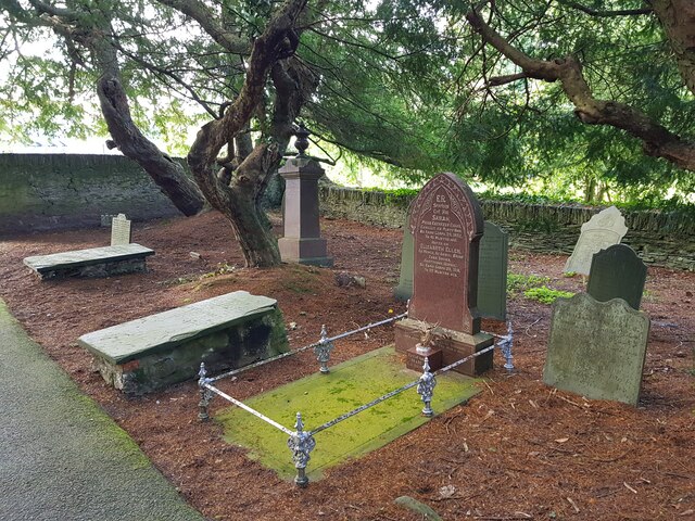
Allt Fâch is not just a haven for nature lovers; it also holds historical significance. The forest is home to ancient ruins, including the remains of an Iron Age hillfort, which provide a glimpse into the area's rich past.
Overall, Allt Fâch is a captivating woodland that offers a unique blend of natural beauty, tranquility, and historical intrigue.
If you have any feedback on the listing, please let us know in the comments section below.
Allt Fâch Images
Images are sourced within 2km of 52.027096/-4.8032988 or Grid Reference SN0740. Thanks to Geograph Open Source API. All images are credited.


Allt Fâch is located at Grid Ref: SN0740 (Lat: 52.027096, Lng: -4.8032988)
Unitary Authority: Pembrokeshire
Police Authority: Dyfed Powys
What 3 Words
///intestine.verifying.vibrate. Near Nevern, Pembrokeshire
Nearby Locations
Related Wikis

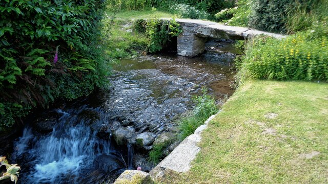
Nevern Bridge
Nevern Bridge (Welsh: Pont Nanhyfer) spans the River Nevern (Welsh: Afon Nyfer) in the centre of Nevern, Pembrokeshire, Wales. This Grade II listed bridge...
Nevern
Nevern (Welsh: Nanhyfer) is both a parish and a community in Pembrokeshire, Wales. The community includes the settlements of Felindre Farchog, Monington...

Felin Llwyngwair
Felin Llwyngwair is a Site of Special Scientific Interest (or SSSI) near Newport in Pembrokeshire, South Wales. It was designated a SSSI (ID2580, code...

Carreg Coetan Arthur
Carreg Coetan Arthur is a neolithic dolmen near Newport in North Pembrokeshire, Wales.Carreg Coetan Arthur dates from around 3000 BC and is the remains...

Cnapan Hotel
Cnapan, also known variously as Cnapan Country House or Cnapan Restaurant and Bed & Breakfast, is a Grade II listed hotel and restaurant in Newport, Pembrokeshire...
Bayvil
Bayvil (Welsh: Y Beifil) is a hamlet and parish in Pembrokeshire, Wales. It is situated in the north of the county, 5 kilometres (3.1 mi) east of Newport...

Newport, Pembrokeshire
Newport (Welsh: Trefdraeth, meaning: "town by the beach") is a town, community, electoral ward and ancient port of Parrog, on the Pembrokeshire coast in...
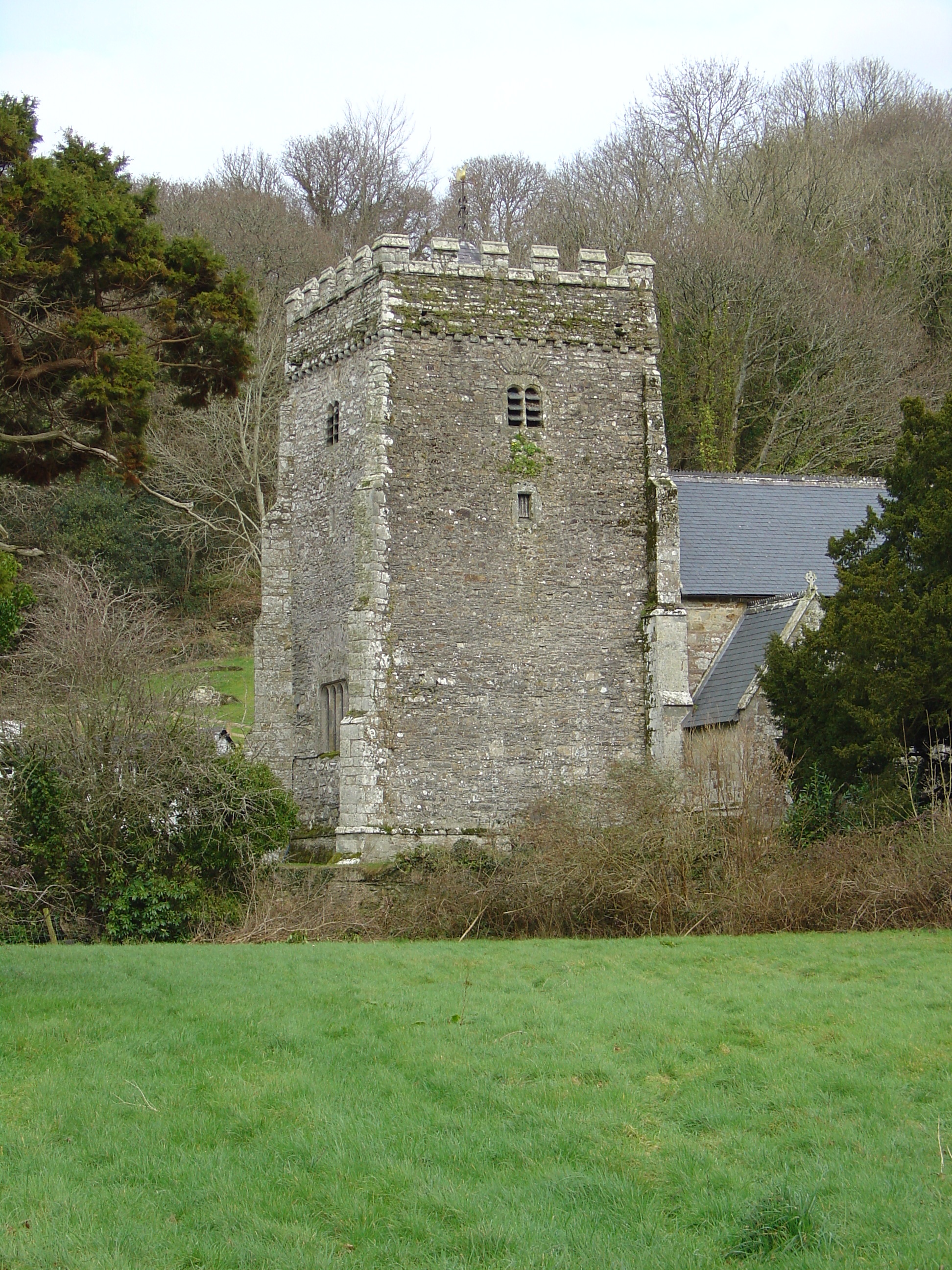
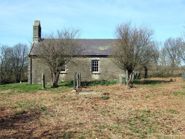
St Andrew's Church, Bayvil
St Andrew's Church, Bayvil, is a redundant church standing in an isolated position in the hamlet of Bayvil, some 2 kilometres (1.2 mi) to the northeast...
Nearby Amenities
Located within 500m of 52.027096,-4.8032988Have you been to Allt Fâch?
Leave your review of Allt Fâch below (or comments, questions and feedback).