Allt Fach
Wood, Forest in Pembrokeshire
Wales
Allt Fach

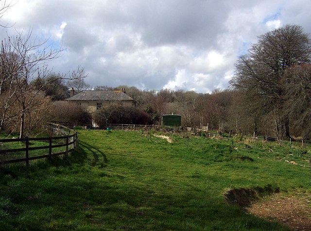
Allt Fach, located in Pembrokeshire, is a beautiful wood or forest that offers a serene and captivating environment. Nestled in the heart of the Welsh countryside, this enchanting woodland spans across a considerable area, providing ample opportunities for exploration and tranquility.
The forest boasts a diverse range of tree species, including oak, beech, ash, and birch, creating a rich and vibrant ecosystem. The canopy of the trees provides a natural shelter from the elements, offering a sense of seclusion and peacefulness. As visitors wander through the woodland, they can enjoy the soothing sound of rustling leaves and the occasional chirping of birds, immersing themselves in the wonders of nature.
Allt Fach is also home to various wildlife species, including deer, badgers, and a wide array of bird species. Nature enthusiasts and birdwatchers will find this woodland particularly captivating, as they can catch glimpses of rare and indigenous birds soaring through the treetops.
The forest features a network of well-maintained footpaths, allowing visitors to explore its beauty on foot. These paths wind through the woodland, leading to picturesque spots, such as small streams and clearings. The forest also offers picnic areas, enabling visitors to relax and enjoy a meal amidst the tranquil surroundings.
Allt Fach is a haven for those seeking solace in nature, providing a serene and captivating experience that showcases the beauty and biodiversity of the Welsh woodlands. Whether it be for a leisurely stroll, a picnic, or birdwatching, this enchanting forest offers something for everyone.
If you have any feedback on the listing, please let us know in the comments section below.
Allt Fach Images
Images are sourced within 2km of 51.896266/-4.7978028 or Grid Reference SN0725. Thanks to Geograph Open Source API. All images are credited.


Allt Fach is located at Grid Ref: SN0725 (Lat: 51.896266, Lng: -4.7978028)
Unitary Authority: Pembrokeshire
Police Authority: Dyfed Powys
What 3 Words
///crab.ladders.evolution. Near Ambleston, Pembrokeshire
Nearby Locations
Related Wikis

New Moat
New Moat (Welsh: Y Mot) is a village, parish and community in Pembrokeshire, Wales. It extends from the southern edges of Mynydd Preseli to the Pembrokeshire...

Maenclochog railway station
Maenclochog railway station served the village of Maenclochog, Pembrokeshire, Wales, from 1876 to 1949 on the Narberth Road and Maenclochog Railway....
Maenclochog
Maenclochog () is a village, parish and community in Pembrokeshire, south-west Wales. It is also the name of an electoral ward comprising a wider area...
Temple Druid
Temple Druid is a grade II listed John Nash house in west Wales, Pembrokeshire, Great Britain. Temple Druid, named after a series of standing stones and...
Have you been to Allt Fach?
Leave your review of Allt Fach below (or comments, questions and feedback).