Atheston Wood

Wood, Forest in Pembrokeshire

Wales

Atheston Wood

View downriver Looking from the top of the footpath into Llawhaden in the direction of the A40.
View downriver Credit: Deborah Tilley

Atheston Wood is a picturesque woodland located in Pembrokeshire, Wales. Covering an area of approximately 30 hectares, the wood is a mix of broadleaf trees, including oak, beech, and ash, as well as coniferous trees such as pine and spruce. The wood is managed by the local Forestry Commission, ensuring that it remains a healthy and thriving ecosystem for both wildlife and visitors to enjoy.

Atheston Wood is a popular destination for nature lovers, hikers, and birdwatchers, offering a peaceful and tranquil setting for outdoor activities. The wood is home to a variety of bird species, including woodpeckers, owls, and thrushes, making it a great spot for birdwatching enthusiasts.

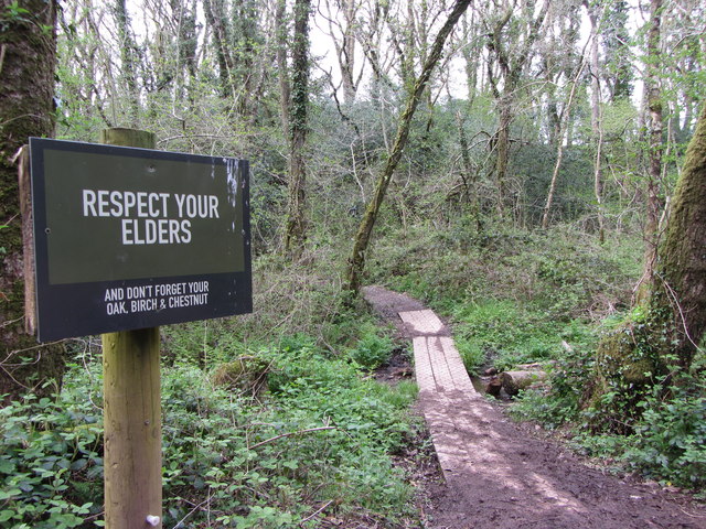
Visitors to Atheston Wood can explore the network of walking trails that wind through the trees, offering stunning views of the surrounding countryside. There are also picnic areas and benches scattered throughout the wood, providing the perfect spot to relax and take in the natural beauty of the area.

Overall, Atheston Wood is a beautiful and diverse woodland that offers a peaceful retreat for those looking to connect with nature in the heart of Pembrokeshire.

If you have any feedback on the listing, please let us know in the comments section below.

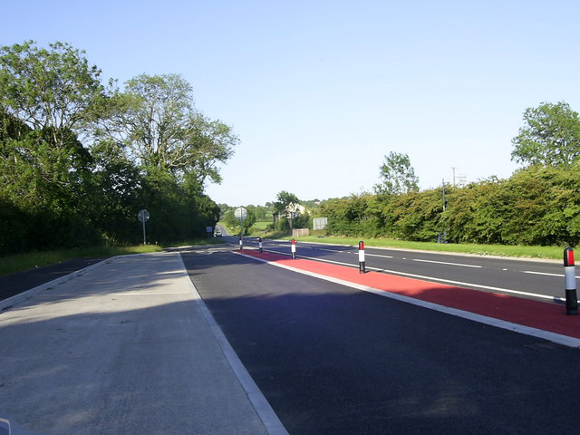
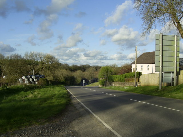
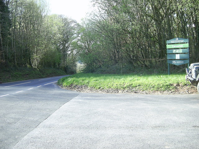
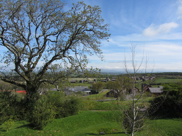
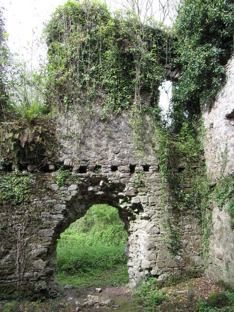
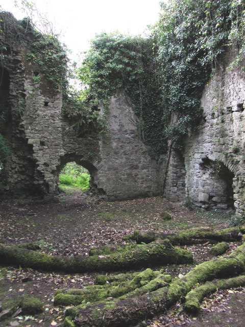
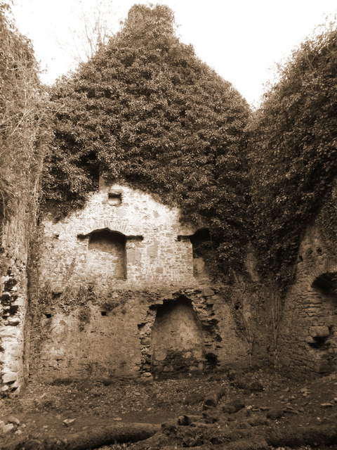
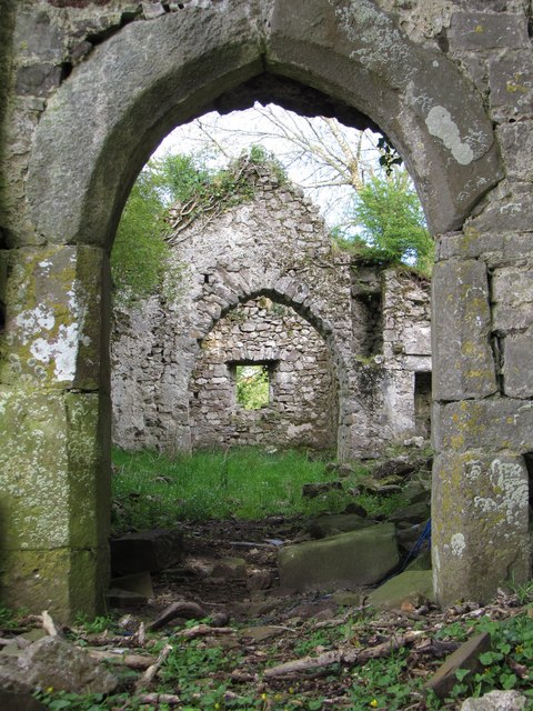
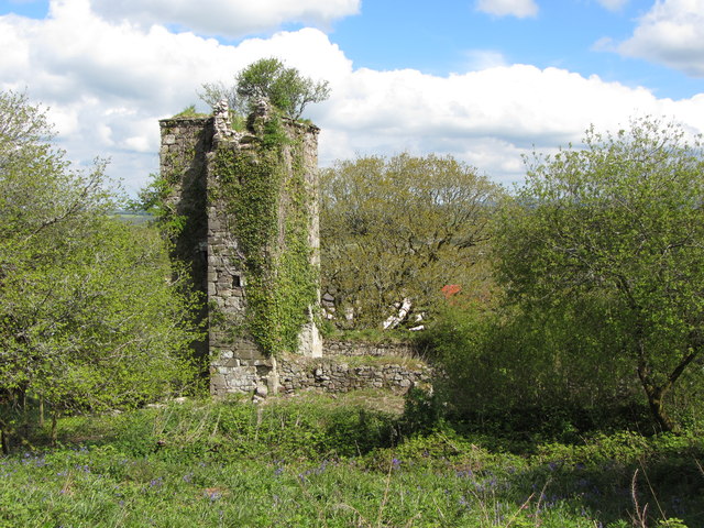
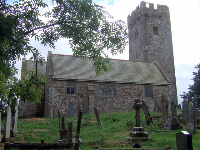
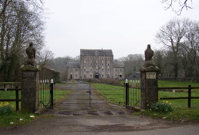
Atheston Wood Images

Images are sourced within 2km of 51.799186/-4.7926988 or Grid Reference SN0714. Thanks to Geograph Open Source API. All images are credited.

View downriver Looking from the top of the footpath into Llawhaden in the direction of the A40.
View downriver
Looking from the top of the footpath into Llawhaden in the direction of the A40.
Robeston Wathen Village Looking along the main village road of Robeston Wathen towards the local village stores and petrol filling station. The main road was the A40, but the village is now bypassed.
Robeston Wathen Village
Looking along the main village road of Robeston Wathen towards the local village stores and petrol filling station. The main road was the A40, but the village is now bypassed.
Lay-by on the A40 near Robeston Wathen View of the lay-by on the A40, east of Robeston Wathen.
Lay-by on the A40 near Robeston Wathen
View of the lay-by on the A40, east of Robeston Wathen.
Bluestone Holiday complex Carreg-las Morris Dancers on balcony of Carreg-las Restaurant.
Official website <span class="nowrap"><a title="http://www.carreg-las.co.uk" rel="nofollow ugc noopener" href="http://www.carreg-las.co.uk">Link</a><img style="margin-left:2px;" alt="External link" title="External link - shift click to open in new window" src="https://s1.geograph.org.uk/img/external.png" width="10" height="10"/></span>
Bluestone Holiday complex
Carreg-las Morris Dancers on balcony of Carreg-las Restaurant. Official website LinkExternal link
The A4075 heading for Canaston Wood View of Newhouse Farm and the A4075 heading for Canaston Wood near Bluestone Holiday Park.
The A4075 heading for Canaston Wood
View of Newhouse Farm and the A4075 heading for Canaston Wood near Bluestone Holiday Park.
The A4075 through Canaston Wood A view of a section of the A4075 through Canaston Wood taken the end of the track.
The A4075 through Canaston Wood
A view of a section of the A4075 through Canaston Wood taken the end of the track.
Road Junction near Whitleys A view of the road junction near Whitleys heading for the A40 from Llawhaden.
Road Junction near Whitleys
A view of the road junction near Whitleys heading for the A40 from Llawhaden.
Bend in the road to Llawhaden The entrance to a field can be seen along the bend in the road towards Llawhaden from the A40.
Bend in the road to Llawhaden
The entrance to a field can be seen along the bend in the road towards Llawhaden from the A40.
Bluestone holiday village
View over Bluestone holiday village
Remains of Castell Coch in Canaston Wood A manorial hall-house dating from the 14th century.
Remains of Castell Coch in Canaston Wood
A manorial hall-house dating from the 14th century.
Remains of Castell Coch in Canaston Wood A manorial hall-house dating from the 14th century.
Remains of Castell Coch in Canaston Wood
A manorial hall-house dating from the 14th century.
Remains of Castell Coch in Canaston Wood A manorial hall-house dating from the 14th century.
Remains of Castell Coch in Canaston Wood
A manorial hall-house dating from the 14th century.
Nature trail at Bluestone holiday park
Woodland advice on the Nature Trail at Bluestone
Bluestone holiday park: view towards the Village Centre
View into the derelict Newton North church
Remains of Newton North church
Show me another place!

Atheston Wood is located at Grid Ref: SN0714 (Lat: 51.799186, Lng: -4.7926988)

Unitary Authority: Pembrokeshire

Police Authority: Dyfed Powys

What 3 Words

///signed.tribe.preparing. Near Narberth, Pembrokeshire

Nearby Locations

Atheston Wood

Related Wikis

Robeston Wathen

Robeston Wathen is a rural village and parish in Pembrokeshire, Wales, 2 miles (3.2 km) west of Narberth, on the former Narberth to Haverfordwest turnpike...

Canaston Bridge

Canaston Bridge is the location in Pembrokeshire, southwest Wales where the A40 trunk road crosses the Eastern Cleddau. It is on the edge of the Pembrokeshire...

Robeston Wathen Quarries

Robeston Wathen Quarries is a Site of Special Scientific Interest (or SSSI) in Pembrokeshire, South Wales, immediately to the north of the village of Robeston...

Blackpool Mill

Blackpool Mill is a 19th century flour mill in the community of Martletwy, in the Pembrokeshire Coast National Park. It sits to the west of Blackpool Bridge...

Nearby Amenities

Located within 500m of 51.799186,-4.7926988
Canaston Oaks
Addr City: Narberth
Addr Housename: Canaston Oaks
Addr Postcode: SA67 8DE
Addr Street: Canaston Bridge
Tourism: guest_house
Lat/Long: 51.7972309/-4.7976152
Canaston Oaks CL Site
Addr Postcode: SA67 8DE
Addr Street: Canaston Bridge
Tourism: caravan_site
Lat/Long: 51.7980379/-4.7958119
Direction: 125
Generator Method: photovoltaic
Generator Output Electricity: yes
Generator Solar Modules: 5
Generator Source: solar
Generator Type: solar_photovoltaic_panel
Location: roof
Power: generator
Lat/Long: 51.7974383/-4.7982218
Direction: 215
Generator Method: photovoltaic
Generator Output Electricity: yes
Generator Solar Modules: 11
Generator Source: solar
Generator Type: solar_photovoltaic_panel
Location: roof
Power: generator
Lat/Long: 51.7974512/-4.7982895
Direction: 255
Generator Method: photovoltaic
Generator Output Electricity: yes
Generator Solar Modules: 16
Generator Source: solar
Generator Type: solar_photovoltaic_panel
Location: roof
Power: generator
Lat/Long: 51.8019832/-4.7953632
The data included in this document is from www.openstreetmap.org. The data is made available under ODbL.

Have you been to Atheston Wood?

Leave your review of Atheston Wood below (or comments, questions and feedback).