Oakhill Plantation
Wood, Forest in Pembrokeshire
Wales
Oakhill Plantation
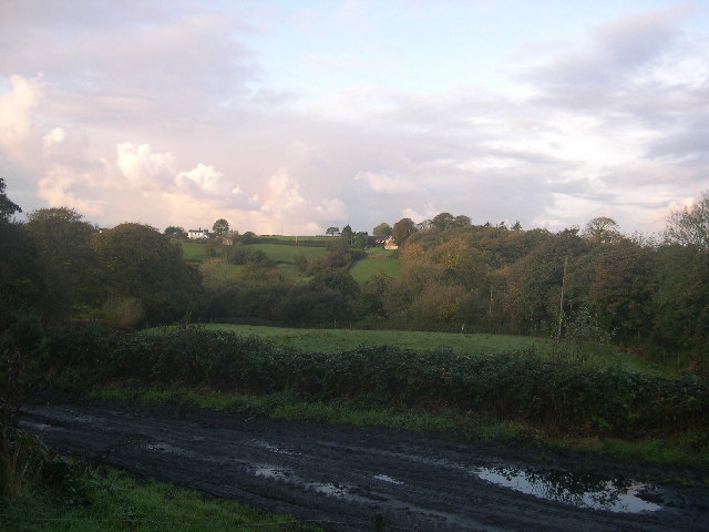
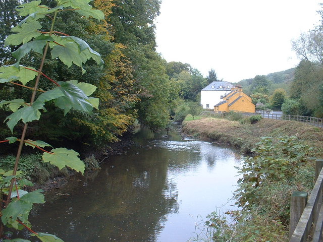
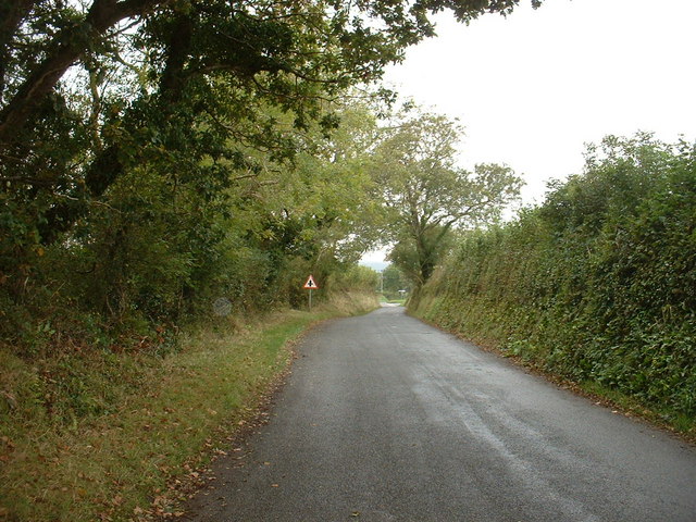
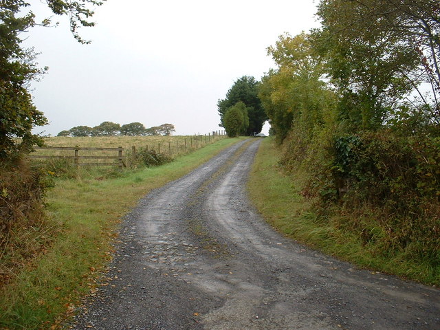
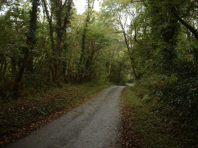
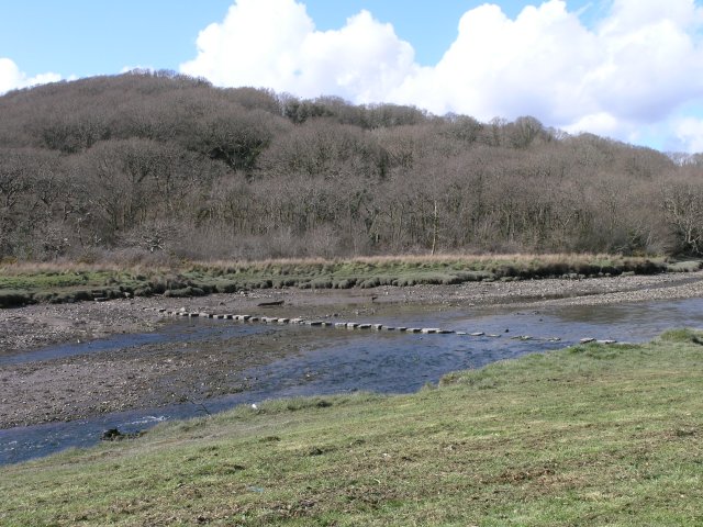
Oakhill Plantation is a magnificent woodland located in the scenic county of Pembrokeshire, Wales. Covering an area of approximately 100 acres, this enchanting forest is known for its abundant oak trees, which lend their name to the plantation. Oakhill Plantation is situated in a picturesque countryside setting, surrounded by rolling hills and meandering streams, creating a tranquil and idyllic atmosphere.
The woodland is a haven for nature enthusiasts and provides a habitat for a diverse range of flora and fauna. Towering oak trees dominate the landscape, their majestic branches reaching skyward and providing a shaded canopy over the forest floor. Other tree species such as beech, ash, and birch can also be found, adding to the area's ecological diversity.
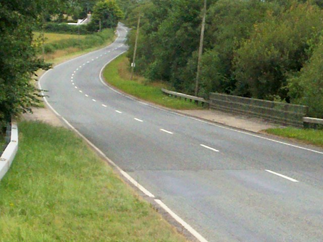
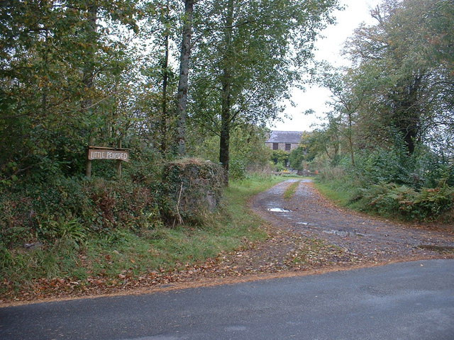
Walking through Oakhill Plantation offers visitors an opportunity to immerse themselves in nature's beauty. A network of well-maintained footpaths and trails wind through the forest, allowing visitors to explore and discover its hidden treasures. The plantation is also home to a variety of wildlife, including deer, squirrels, and a multitude of bird species, making it a paradise for birdwatchers and animal lovers alike.
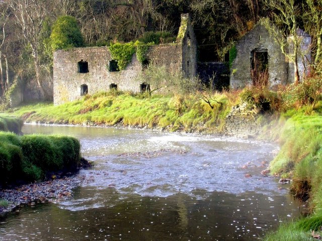
Oakhill Plantation is not only a natural wonder but also has historical significance. The woodland has been carefully managed for centuries and has played a vital role in the local economy, providing timber for various purposes. Today, the plantation is managed sustainably, ensuring the preservation of its natural beauty while also allowing for responsible use of its resources.
Whether one seeks a peaceful retreat, a chance to connect with nature, or an opportunity to delve into the history of the land, Oakhill Plantation in Pembrokeshire offers a captivating experience for all who visit.
If you have any feedback on the listing, please let us know in the comments section below.
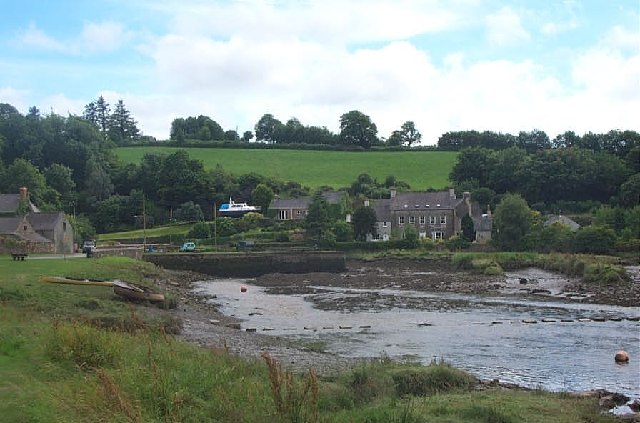
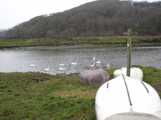
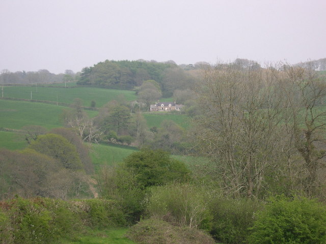
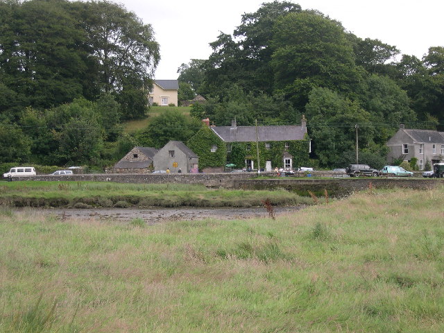
Oakhill Plantation Images
Images are sourced within 2km of 51.735881/-4.8275972 or Grid Reference SN0407. Thanks to Geograph Open Source API. All images are credited.


Oakhill Plantation is located at Grid Ref: SN0407 (Lat: 51.735881, Lng: -4.8275972)
Unitary Authority: Pembrokeshire
Police Authority: Dyfed Powys
What 3 Words
///called.guesswork.regaining. Near Jeffreyston, Pembrokeshire
Nearby Locations
Related Wikis

Cresswell Castle
Cresswell Castle is a castle half a mile north of the village of Cresswell Quay, Pembrokeshire, west Wales. It is situated on the banks of the River Cresswell...

Cresselly House
Cresselly House is a Georgian country house in the village of Cresselly, near Kilgetty, Pembrokeshire that operates as a country house hotel. It is a Grade...
Cresselly Cricket Club Ground
Cresselly Cricket Club Ground is a cricket ground in Cresselly, Pembrokeshire. The first recorded match on the ground was in 1979, when Welsh Schools...

Martletwy
Martletwy is a village, parish and community in the county of Pembrokeshire, Wales. == Description == Martletwy lies in south of the county, the nearest...
Nearby Amenities
Located within 500m of 51.735881,-4.8275972Have you been to Oakhill Plantation?
Leave your review of Oakhill Plantation below (or comments, questions and feedback).