Alleston Wood

Wood, Forest in Pembrokeshire

Wales

Alleston Wood

Herbert’s Moor Fenced land on Herbert’s Moor Farm.
Herbert’s Moor Credit: Alan Hughes

The requested URL returned error: 429 Too Many Requests

If you have any feedback on the listing, please let us know in the comments section below.

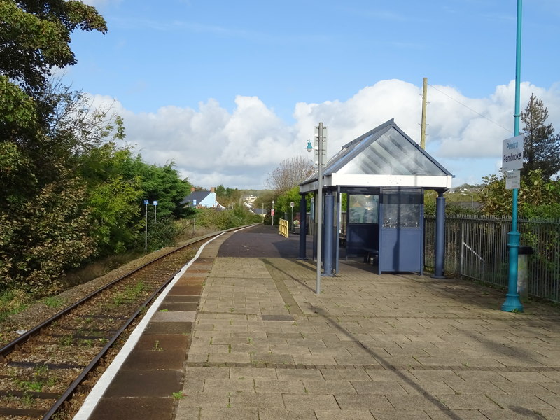
Alleston Wood Images

Images are sourced within 2km of 51.664554/-4.889924 or Grid Reference SN0000. Thanks to Geograph Open Source API. All images are credited.

Herbert’s Moor Fenced land on Herbert’s Moor Farm.
Herbert’s Moor
Fenced land on Herbert’s Moor Farm.
Freshwater East Road, Lamphey
Entrance to Herbert’s Moor, Lamphey
A layby near Westhill Farm
Little Lammaston Footpath just south of Herbertsmoor
Little Lammaston
Footpath just south of Herbertsmoor
Lammaston Farm Fields Just south of the farm this track leads up towards Herbertsmoor
Lammaston Farm Fields
Just south of the farm this track leads up towards Herbertsmoor
The way to Westhill Farm Lane & footpath leaving B4584
The way to Westhill Farm
Lane & footpath leaving B4584
The B4584 enters Lamphey, Pembrokeshire
Irises and Swan This tiny lake is hidden just west of the Merlin's Cross to Lammaston Farm lane. It is a popular haunt for swans, moorhens and swallows.
Irises and Swan
This tiny lake is hidden just west of the Merlin's Cross to Lammaston Farm lane. It is a popular haunt for swans, moorhens and swallows.
Kingston Hill This scene is south of Pembroke overlooking cottages and rolling countryside.
Kingston Hill
This scene is south of Pembroke overlooking cottages and rolling countryside.
Bridge at Thrustle Mill A deep valley with an unnamed stream which flows east to Freshwater East.
Bridge at Thrustle Mill
A deep valley with an unnamed stream which flows east to Freshwater East.
Bishop's Palace, Lamphey In its heyday, the palace at Lamphey became a favourite residence of the bishops of St David's who "were worldly men who enjoyed the privileges of wealth, power and status".
Bishop's Palace, Lamphey
In its heyday, the palace at Lamphey became a favourite residence of the bishops of St David's who "were worldly men who enjoyed the privileges of wealth, power and status".
Alleston Farm This track heads south from the farm to join the Lamphey to Freshwater road.
Alleston Farm
This track heads south from the farm to join the Lamphey to Freshwater road.
Lamphey Church With the unusual Welsh dedication of St Tyfai (St Faith).
Lamphey Church
With the unusual Welsh dedication of St Tyfai (St Faith).
Lamphey Mill Bridge With Lamphey Mill beyond.
Lamphey Mill Bridge
With Lamphey Mill beyond.
Lamphey Church (detail)
Looking East from Lamphey Mill Bridge
Looking West from Lamphey Mill Bridge This becomes Pembroke River.
Looking West from Lamphey Mill Bridge
This becomes Pembroke River.
Show me another place!

Alleston Wood is located at Grid Ref: SN0000 (Lat: 51.664554, Lng: -4.889924)

Unitary Authority: Pembrokeshire

Police Authority: Dyfed Powys

What 3 Words

///renders.strongman.bride. Near Pembroke, Pembrokeshire

Nearby Locations

Rose Valley Alleston Wood

Related Wikis

Pembroke St Michael

Pembroke St Michael is the name of an electoral ward in the town of Pembroke, Pembrokeshire, Wales. It covers the east area of the town.The ward currently...

Castlemartin Hundred

Castlemartin was a hundred in Pembrokeshire, Wales. Initially created by the Marcher Lords of Pembroke in the 14th century from the western part of the...

Lamphey railway station

Lamphey railway station is on the Pembroke Dock branch of the West Wales Line, managed by Transport for Wales Rail. Trains, stopping on request, run westwards...

Pembroke railway station

Pembroke railway station serves the town of Pembroke, Pembrokeshire, Wales. == History == On 30 July 1863, Pembroke railway station was opened by the Pembroke...

Nearby Amenities

Located within 500m of 51.664554,-4.889924
Power: tower
Lat/Long: 51.6670363/-4.892665
Location Transition: yes
Power: pole
Lat/Long: 51.6650377/-4.894892
Power: pole
Lat/Long: 51.6643173/-4.8961794
Location Transition: yes
Power: pole
Lat/Long: 51.6645436/-4.8949617
Power: pole
Lat/Long: 51.6639763/-4.8957101
Power: pole
Lat/Long: 51.6681935/-4.8914909
Power: pole
Lat/Long: 51.6671754/-4.8914105
Power: pole
Lat/Long: 51.66654/-4.8925531
Power: pole
Lat/Long: 51.6659244/-4.8935777
Power: pole
Lat/Long: 51.6652323/-4.8947579
Power: pole
Lat/Long: 51.6648896/-4.8965603
Power: pole
Lat/Long: 51.6633823/-4.8965013
Direction: 190
Generator Method: photovoltaic
Generator Output Electricity: yes
Generator Solar Modules: 18
Generator Source: solar
Generator Type: solar_photovoltaic_panel
Location: roof
Power: generator
Lat/Long: 51.6643627/-4.8862767
Direction: 190
Generator Method: photovoltaic
Generator Output Electricity: yes
Generator Solar Modules: 18
Generator Source: solar
Generator Type: solar_photovoltaic_panel
Location: roof
Power: generator
Lat/Long: 51.6644225/-4.886262
The data included in this document is from www.openstreetmap.org. The data is made available under ODbL.

Have you been to Alleston Wood?

Leave your review of Alleston Wood below (or comments, questions and feedback).