Tre-llŵyn Wood
Wood, Forest in Pembrokeshire
Wales
Tre-llŵyn Wood

Tre-llŵyn Wood is a picturesque woodland located in the county of Pembrokeshire, Wales. Situated near the village of Tre-llŵyn, this enchanting forest covers an area of approximately 100 hectares. The wood is largely made up of native broadleaf trees, including oak, ash, beech, and birch, creating a diverse and vibrant ecosystem.
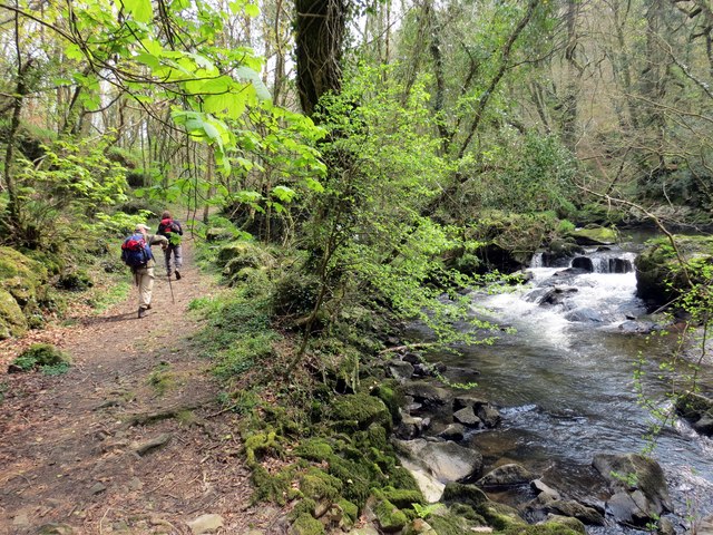
The woodland offers a tranquil escape for nature enthusiasts and outdoor enthusiasts alike. Its well-maintained footpaths wind through the trees, allowing visitors to explore the forest's beauty at their own pace. Hikers can enjoy the peaceful ambiance and immerse themselves in the sights and sounds of nature.
Tre-llŵyn Wood is also home to a rich variety of wildlife. The dense foliage provides a habitat for numerous bird species, making it a great spot for birdwatching. Visitors may catch a glimpse of species such as woodpeckers, nuthatches, and treecreepers. The forest floor is teeming with small mammals, including voles, shrews, and mice.
In addition to its natural beauty, Tre-llŵyn Wood boasts a long history. The wood has been managed by the local community for generations, and remnants of ancient settlements can still be found within its boundaries. These historical features add an extra layer of intrigue to the woodland, making it a fascinating destination for history enthusiasts.
Overall, Tre-llŵyn Wood offers a captivating blend of natural beauty, wildlife, and history. Whether one seeks solitude in nature, a chance to spot wildlife, or an opportunity to explore the past, this woodland provides an idyllic setting for all.
If you have any feedback on the listing, please let us know in the comments section below.
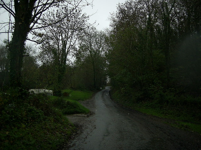
Tre-llŵyn Wood Images
Images are sourced within 2km of 51.979371/-4.9124136 or Grid Reference SN0035. Thanks to Geograph Open Source API. All images are credited.


Tre-llŵyn Wood is located at Grid Ref: SN0035 (Lat: 51.979371, Lng: -4.9124136)
Unitary Authority: Pembrokeshire
Police Authority: Dyfed Powys
What 3 Words
///quarrel.brew.welcome. Near Fishguard, Pembrokeshire
Nearby Locations
Related Wikis
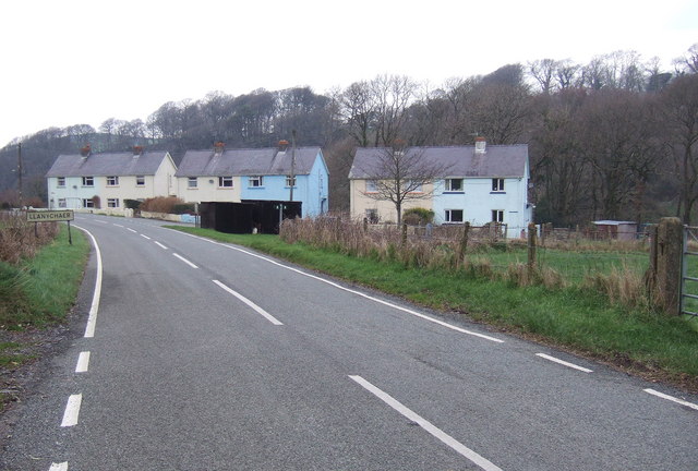
Llanychaer
Llanychaer (English: church on the Aer, a tributary of the River Gwaun) is a small rural village and parish in the community of Cwm Gwaun, north Pembrokeshire...
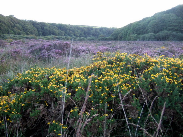
Esgyrn Bottom
Esgyrn Bottom is a Site of Special Scientific Interest (or SSSI) in Pembrokeshire, South Wales. It has been designated as a Site of Special Scientific...

Pontfaen
Pontfaen (English: Bridge on the River Gwaun) is a small rural village and parish in the community of Cwm Gwaun, north Pembrokeshire, Wales. It is 3 miles...

Cwm Gwaun
Cwm Gwaun (English: Gwaun Valley) is a community and valley in north Pembrokeshire, Wales. The community is centred around Pontfaen, a parish and hamlet...
Nearby Amenities
Located within 500m of 51.979371,-4.9124136Have you been to Tre-llŵyn Wood?
Leave your review of Tre-llŵyn Wood below (or comments, questions and feedback).