Allt yr Yn
Wood, Forest in Pembrokeshire
Wales
Allt yr Yn

The requested URL returned error: 429 Too Many Requests
If you have any feedback on the listing, please let us know in the comments section below.
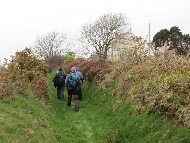
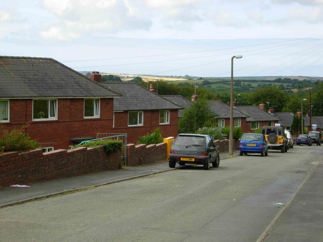
Allt yr Yn Images
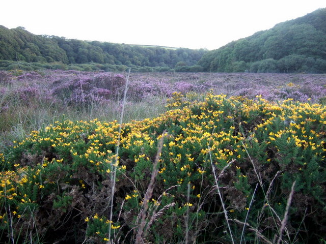
Images are sourced within 2km of 51.955969/-4.9247824 or Grid Reference SM9932. Thanks to Geograph Open Source API. All images are credited.


Allt yr Yn is located at Grid Ref: SM9932 (Lat: 51.955969, Lng: -4.9247824)
Unitary Authority: Pembrokeshire
Police Authority: Dyfed Powys
What 3 Words
///comb.thickened.sings. Near Scleddau, Pembrokeshire
Nearby Locations
Related Wikis
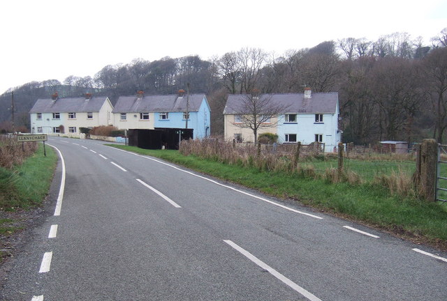
Llanychaer
Llanychaer (English: church on the Aer, a tributary of the River Gwaun) is a small rural village and parish in the community of Cwm Gwaun, north Pembrokeshire...
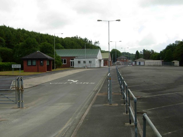
RNAD Trecwn
RNAD Trecwn is a decommissioned Royal Navy Armaments Depot, south of Fishguard in the village of Trecwn, Pembrokeshire, West Wales. Built in 1938 to store...
Trecwn
Trecwn (Welsh: Trecŵn [trɛˈkuːn]) is a village in Pembrokeshire, west Wales, 1.6 miles (2.6 km) east of the A40 (Fishguard to Haverfordwest) road in the...
Esgyrn Bottom
Esgyrn Bottom is a Site of Special Scientific Interest (or SSSI) in Pembrokeshire, South Wales. It has been designated as a Site of Special Scientific...
Nearby Amenities
Located within 500m of 51.955969,-4.9247824Have you been to Allt yr Yn?
Leave your review of Allt yr Yn below (or comments, questions and feedback).