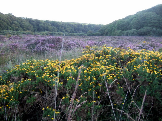
Allt Trebover
Wood, Forest in Pembrokeshire
Wales
Allt Trebover
The requested URL returned error: 429 Too Many Requests
If you have any feedback on the listing, please let us know in the comments section below.
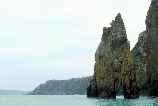
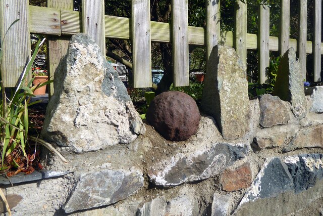
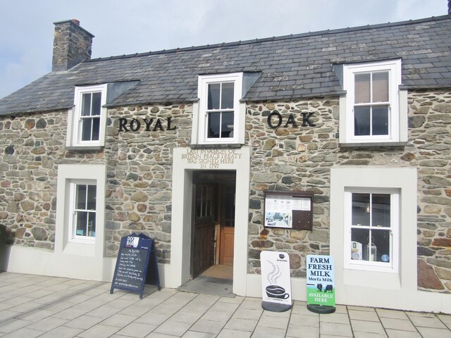
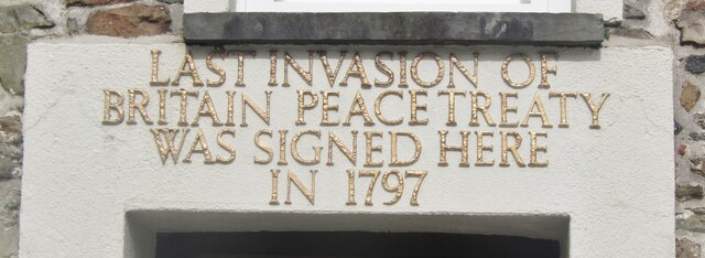
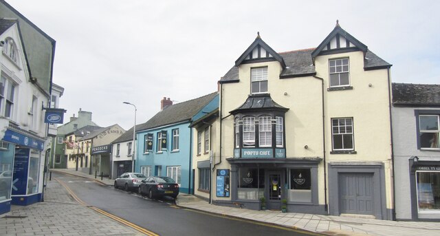
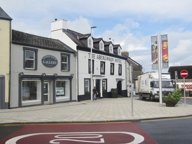
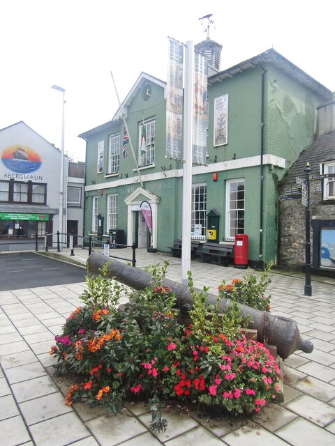
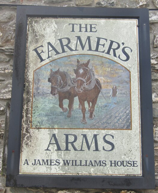
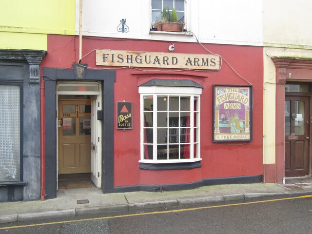
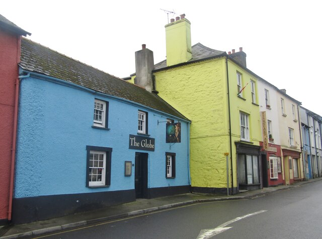
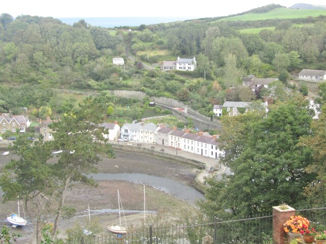
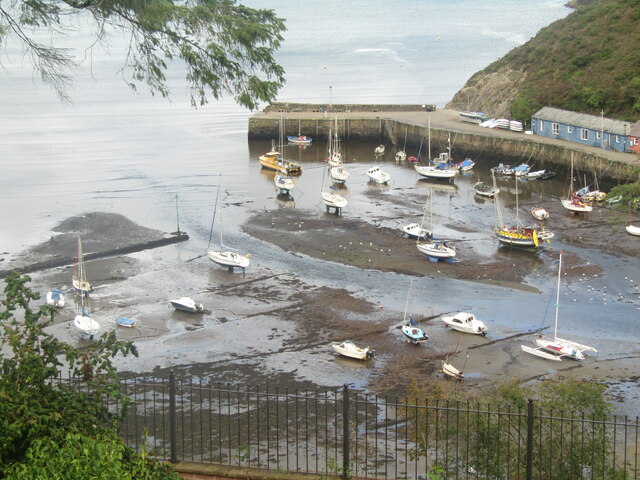
Allt Trebover Images
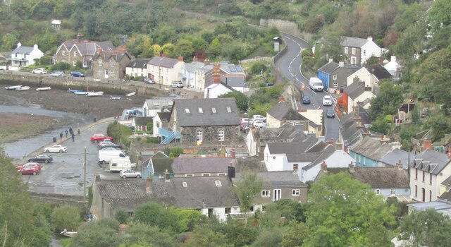
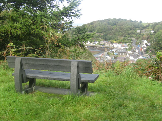
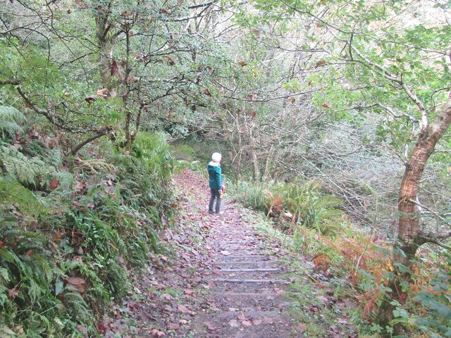
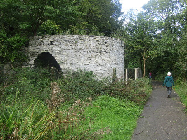
Images are sourced within 2km of 51.986975/-4.9501683 or Grid Reference SM9736. Thanks to Geograph Open Source API. All images are credited.


Allt Trebover is located at Grid Ref: SM9736 (Lat: 51.986975, Lng: -4.9501683)
Unitary Authority: Pembrokeshire
Police Authority: Dyfed Powys
What 3 Words
///delays.button.superbly. Near Fishguard, Pembrokeshire
Nearby Locations
Related Wikis
Esgyrn Bottom
Esgyrn Bottom is a Site of Special Scientific Interest (or SSSI) in Pembrokeshire, South Wales. It has been designated as a Site of Special Scientific...

River Gwaun
The River Gwaun (Welsh: Afon Gwaun, "Gwaun" meaning 'marsh, moor') is a river in Pembrokeshire, West Wales, which flows west to the sea at Fishguard (Welsh...

Fishguard Town Hall
Fishguard Town Hall (Welsh: Neuadd y Dref Abergwaun) is a municipal building in the Market Square, Fishguard, Pembrokeshire, Wales. The structure, which...
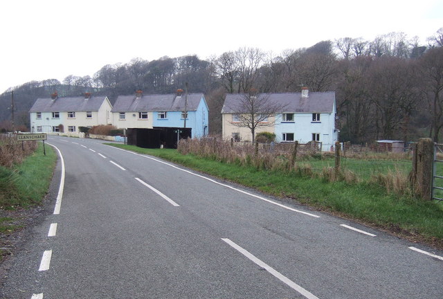
Llanychaer
Llanychaer (English: church on the Aer, a tributary of the River Gwaun) is a small rural village and parish in the community of Cwm Gwaun, north Pembrokeshire...
Nearby Amenities
Located within 500m of 51.986975,-4.9501683Have you been to Allt Trebover?
Leave your review of Allt Trebover below (or comments, questions and feedback).