Bunkers Hill

Settlement in Oxfordshire Cherwell

England

Bunkers Hill

A4260 Banbury Road towards Banbury
A4260 Banbury Road towards Banbury Credit: Robin Webster

Bunkers Hill is a small village located in the Cherwell district of Oxfordshire, England. Situated approximately 6 miles northeast of Banbury, the village is nestled in the beautiful countryside of the county. With a population of around 300 residents, Bunkers Hill offers a peaceful and close-knit community.

The village is known for its picturesque surroundings, consisting of rolling hills, lush green fields, and charming country lanes. It provides an idyllic setting for those seeking a rural lifestyle, away from the hustle and bustle of city living. The local landscape also offers numerous opportunities for outdoor activities such as hiking, cycling, and horse riding.

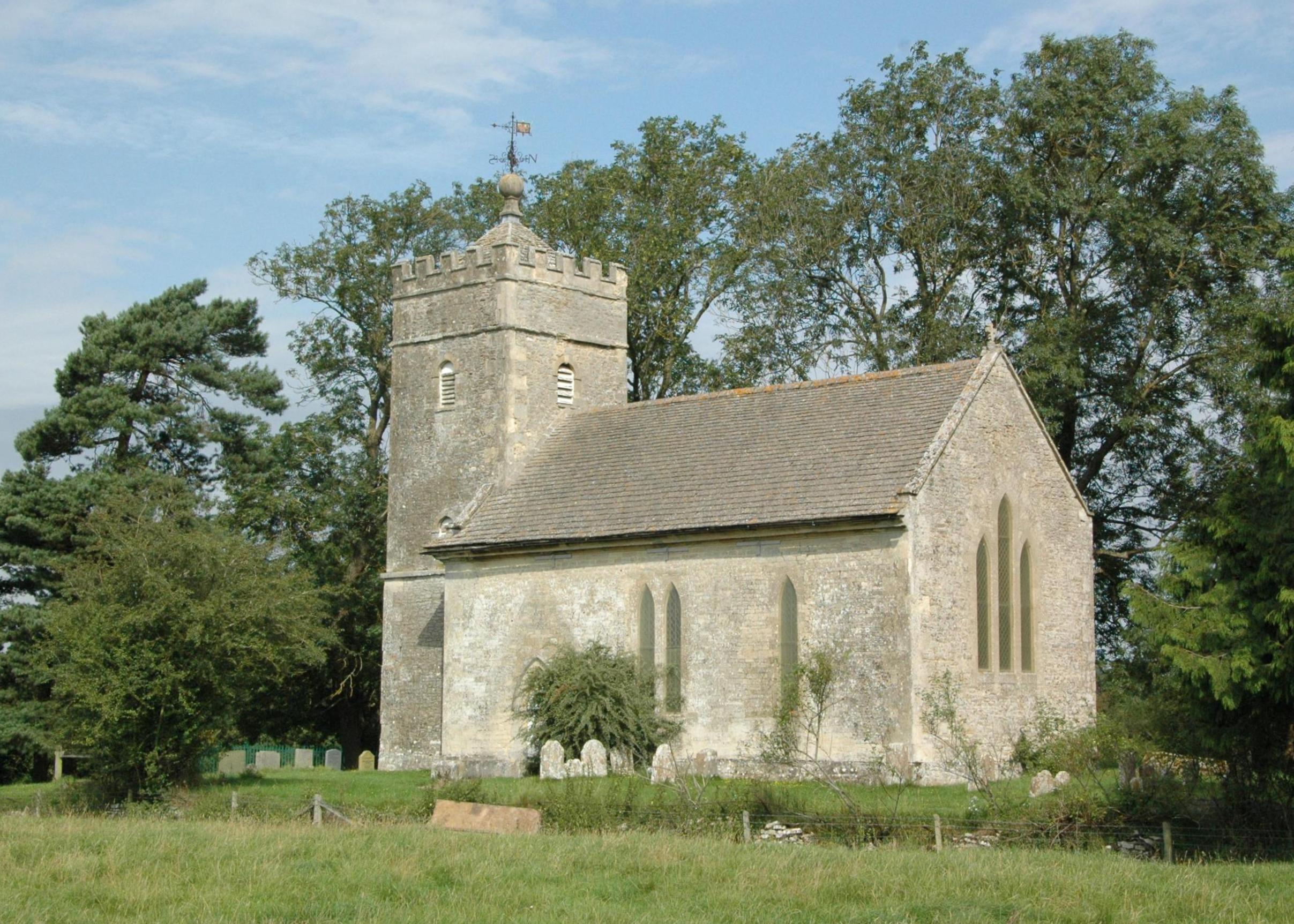
Bunkers Hill itself has a rich history dating back centuries. The name of the village is believed to be derived from an ancient fortification or defensive structure that once stood in the area. While little remains of the original structure, the village retains its historic charm with several well-preserved buildings and landmarks.

A notable feature of Bunkers Hill is its close proximity to the ancient Rollright Stones, a prehistoric stone circle that attracts visitors from far and wide. This Neolithic monument is steeped in legend and mystery, adding to the allure of the area.

Despite its small size, Bunkers Hill benefits from a strong sense of community. The village has a local pub, The Bunkers Hill Inn, which serves as a popular gathering place for residents and visitors alike. Additionally, the nearby town of Banbury offers a range of amenities including shops, schools, and healthcare facilities.

In summary, Bunkers Hill is a charming village in Oxfordshire, offering a tranquil and picturesque setting for those seeking a rural lifestyle. With its rich history, stunning countryside, and strong community spirit, the village is a hidden gem in the heart of England.

If you have any feedback on the listing, please let us know in the comments section below.
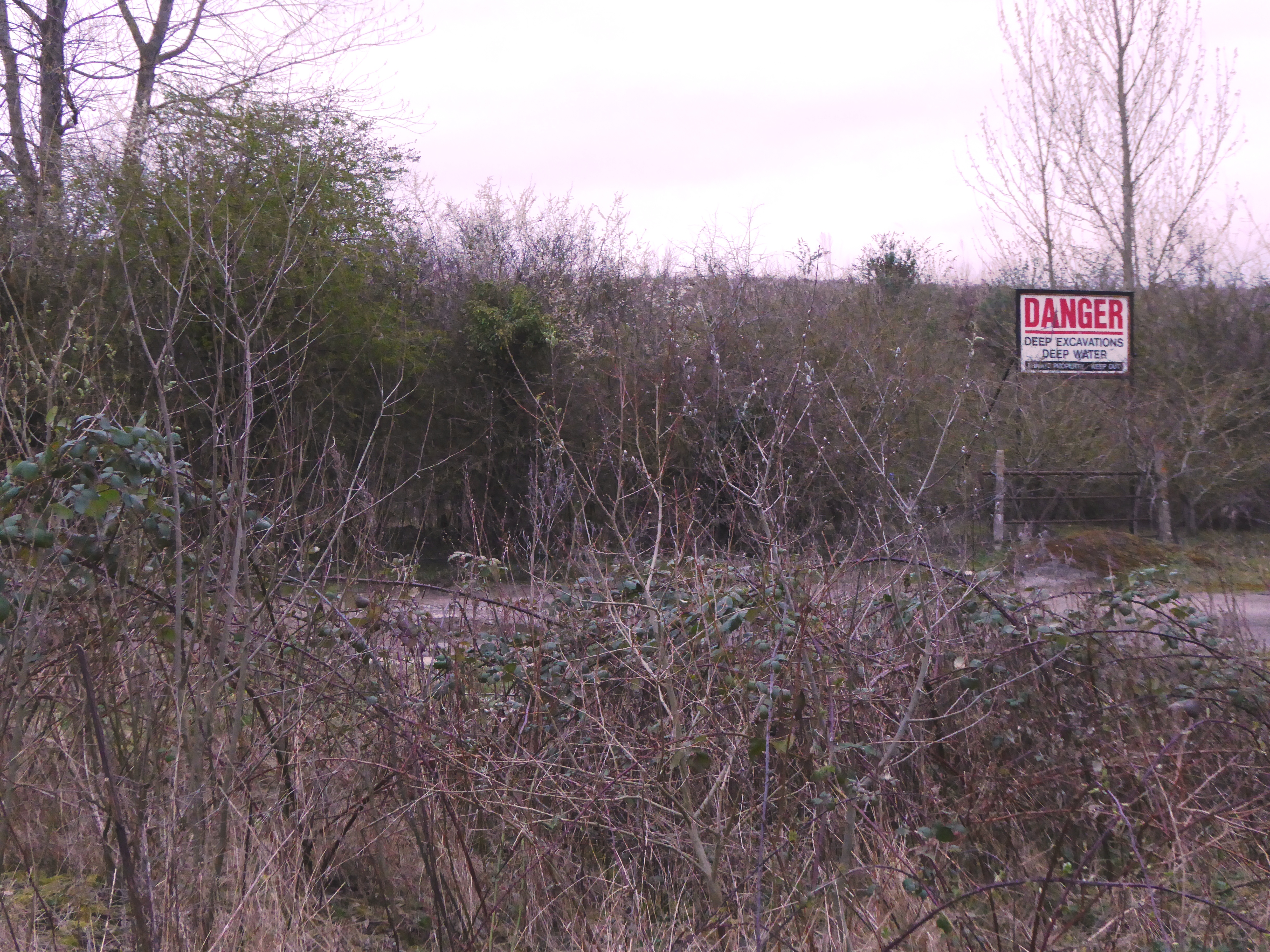
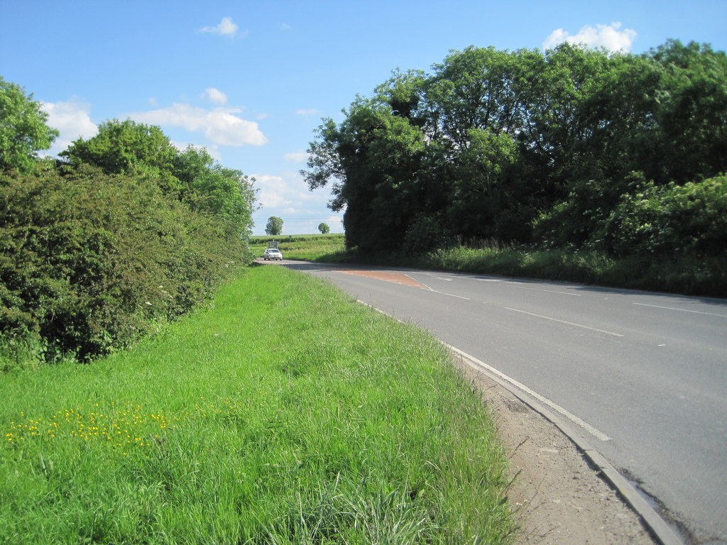
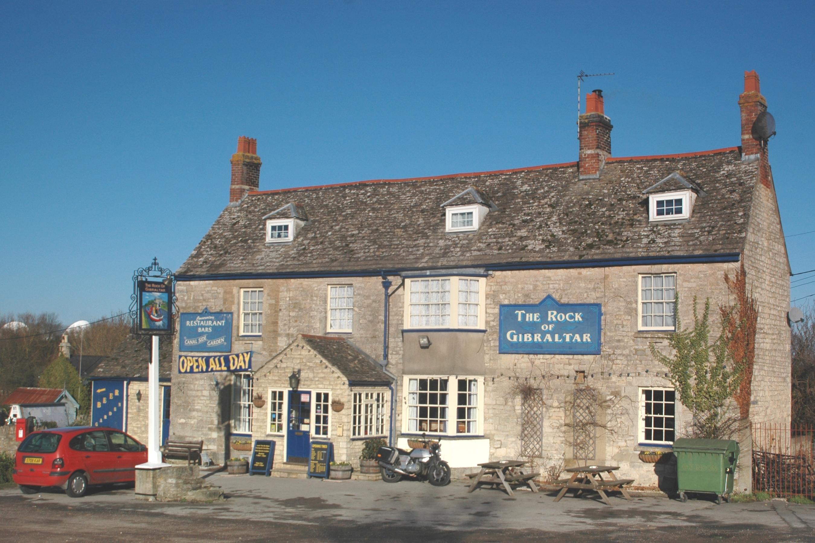
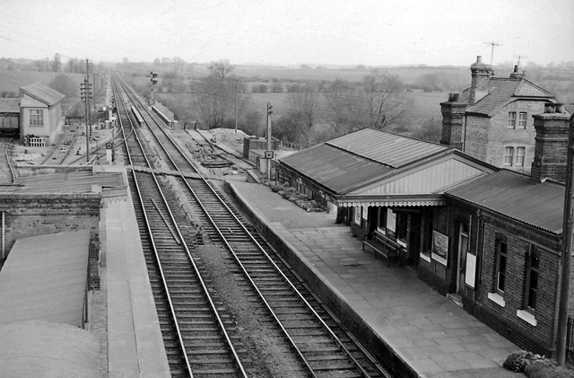
Bunkers Hill Images

Images are sourced within 2km of 51.856555/-1.312441 or Grid Reference SP4717. Thanks to Geograph Open Source API. All images are credited.

A4260 Banbury Road towards Banbury
A4260 Banbury Road towards Banbury The B4027 crosses ahead.
A4260 Banbury Road towards Banbury
The B4027 crosses ahead.
Former railway bridge over A4260, Banbury Road The railway was the GWR Woodstock branch, closed 1954.
Former railway bridge over A4260, Banbury Road
The railway was the GWR Woodstock branch, closed 1954.
Hampton Gay Church
Hampton Gay Church
Whitehill Earth Station near Oxford Viewed from a passing train. A satellite earth station communicates (by contrast) with a space station or satellite.
Whitehill Earth Station near Oxford
Viewed from a passing train. A satellite earth station communicates (by contrast) with a space station or satellite.
The Oxford Canal at Shipton-on-Cherwell Viewed from a passing train. To the right is the abutment of a former railway bridge. <a href="https://www.geograph.org.uk/photo/6541234">SP4816 : Oxford Canal, near Shipton-on-Cherwell</a> taken the previous year shows the same view from the oppsoite direction, and gives more history of the railway.
The Oxford Canal at Shipton-on-Cherwell
Viewed from a passing train. To the right is the abutment of a former railway bridge. SP4816 : Oxford Canal, near Shipton-on-Cherwell taken the previous year shows the same view from the oppsoite direction, and gives more history of the railway.
Entrance to the North Oxfordshire Crematorium and Memorial Park This photo shows the entrance to the North Oxfordshire Crematorium and Memorial Park in Banbury Road OX5 3ER. It is one of eleven such crematoria looked after by Memoria, with two more due to open shortly at Doncaster and in Kent.
Entrance to the North Oxfordshire Crematorium and Memorial Park
This photo shows the entrance to the North Oxfordshire Crematorium and Memorial Park in Banbury Road OX5 3ER. It is one of eleven such crematoria looked after by Memoria, with two more due to open shortly at Doncaster and in Kent.
Entrance to the Churchill Pavilion at the North Oxfordshire Crematorium This photo shows the entrance to the Churchill Pavilion which provides a space for a family gathering after the burial or cremation service has taken place. It is named after Winston Churchill who was born at Blenheim Palace near Woodstock and buried in Bladon churchyard a few miles away.
Entrance to the Churchill Pavilion at the North Oxfordshire Crematorium
This photo shows the entrance to the Churchill Pavilion which provides a space for a family gathering after the burial or cremation service has taken place. It is named after Winston Churchill who was born at Blenheim Palace near Woodstock and buried in Bladon churchyard a few miles away.
The Chapel at the North Oxfordshire Crematorium This chapel was opened in October 2020 and seats 130 people, but can stand and seat 280 by including the foyer space.
The Chapel at the North Oxfordshire Crematorium
This chapel was opened in October 2020 and seats 130 people, but can stand and seat 280 by including the foyer space.
Commemoration Stone at the North Oxfordshire Crematorium This commemoration stone stands outside the chapel and has the following wording:

                NORTH OXFORDSHIRE
                  CREMATORIUM &
                  MEMORIAL PARK

              OFFICIALLY OPENED ON
               4TH NOVEMBER 2021
                      BY
            THE RT REVD DR STEVEN CROFT
                BISHOP OF OXFORD
    
             FOLLOWING A MULTI-FAITH
          SERVICE OF DEDICATION FOR THE
            BLESSING OF THE CHAPEL AND
           CONSECRATION OF THE GROUNDS
Commemoration Stone at the North Oxfordshire Crematorium
This commemoration stone stands outside the chapel and has the following wording: NORTH OXFORDSHIRE CREMATORIUM & MEMORIAL PARK OFFICIALLY OPENED ON 4TH NOVEMBER 2021 BY THE RT REVD DR STEVEN CROFT BISHOP OF OXFORD FOLLOWING A MULTI-FAITH SERVICE OF DEDICATION FOR THE BLESSING OF THE CHAPEL AND CONSECRATION OF THE GROUNDS
Waiting Room at the North Oxfordshire Crematorium This photo shows the waiting room which is a short walk to the chapel. Hopefully, mourners won't get wet when making their way between the two buildings.
Waiting Room at the North Oxfordshire Crematorium
This photo shows the waiting room which is a short walk to the chapel. Hopefully, mourners won't get wet when making their way between the two buildings.
Sturdy's Castle A pub, restaurant and hotel on the Banbury Road.
website <span class="nowrap"><a title="https://www.sturdyscastleoxford.com" rel="nofollow ugc noopener" href="https://www.sturdyscastleoxford.com">Link</a><img style="margin-left:2px;" alt="External link" title="External link - shift click to open in new window" src="https://s1.geograph.org.uk/img/external.png" width="10" height="10"/></span>
Sturdy's Castle
A pub, restaurant and hotel on the Banbury Road. website LinkExternal link
Accommodation at Sturdy's Castle A pub, restaurant and hotel on the Banbury Road.
website <span class="nowrap"><a title="https://www.sturdyscastleoxford.com" rel="nofollow ugc noopener" href="https://www.sturdyscastleoxford.com">Link</a><img style="margin-left:2px;" alt="External link" title="External link - shift click to open in new window" src="https://s1.geograph.org.uk/img/external.png" width="10" height="10"/></span>
Accommodation at Sturdy's Castle
A pub, restaurant and hotel on the Banbury Road. website LinkExternal link
Junction on Bunkers Hill, Enslow It's a staggered crossroads.
Junction on Bunkers Hill, Enslow
It's a staggered crossroads.
Junction on Station Road, Enslow
Jeep garage on Banbury Road, Shipton-on-Cherwell
Show me another place!

Bunkers Hill is located at Grid Ref: SP4717 (Lat: 51.856555, Lng: -1.312441)

Administrative County: Oxfordshire

District: Cherwell

Police Authority: Thames Valley

What 3 Words

///neater.thunder.wiggling. Near Woodstock, Oxfordshire

Related Wikis

Shipton-on-Cherwell and Whitehill Farm Quarries

Shipton-on-Cherwell and Whitehill Farm Quarries is a 30-hectare (74-acre) geological Site of Special Scientific Interest north of Kidlington in Oxfordshire...

Shipton-on-Cherwell Halt railway station

Shipton-on-Cherwell Halt was a railway halt constructed in 1929 by the Great Western Railway to serve the Oxfordshire village of Shipton-on-Cherwell as...

Enslow

Enslow is a hamlet on the banks of both the River Cherwell and the Oxford Canal in Bletchingdon civil parish, Oxfordshire. The medieval main road linking...

Bletchington railway station

Bletchington railway station is a disused station in Oxfordshire at Enslow, England, a hamlet 1.25 miles (2 km) west of the village of Bletchingdon. The...

Shipton-on-Cherwell

Shipton-on-Cherwell is a village on the River Cherwell about 2 miles (3 km) north of Kidlington in Oxfordshire, England. The village is part of the civil...

Hampton Gay

Hampton Gay is a village in the civil parish of Hampton Gay and Poyle, in the Cherwell district, in the county of Oxfordshire, England. It is in the Cherwell...

The Manor Studio

The Manor Studio (a.k.a. the Manor) was a recording studio in the manor house at the village of Shipton-on-Cherwell in Oxfordshire, England, north of the...

Shipton-on-Cherwell train crash

The Shipton-on-Cherwell train crash was a major disaster which occurred on the Great Western Railway. It involved the derailment of a long passenger train...

Nearby Amenities

Located within 500m of 51.856555,-1.312441
Waterway: lock_gate
Lat/Long: 51.8575397/-1.3058704
Waterway: lock_gate
Lat/Long: 51.8573324/-1.305706
Bunkers Hill
Is In: Oxfordshire, England, UK
Place: hamlet
Lat/Long: 51.8565209/-1.3139353
Bench
Lat/Long: 51.8573808/-1.3059454
Bunkers Hill Turn
Naptan AtcoCode: 340001789NOR
Naptan Bearing: N
Naptan BusStopType: CUS
Naptan CommonName: Bunkers Hill Turn
Naptan Indicator: Opposite
Naptan Landmark: Bunkers Hill
Naptan NaptanCode: oxfgdawt
Naptan Street: Banbury Road
Naptan Verified: no
Source: naptan_import
Lat/Long: 51.8540554/-1.3171807
Bunkers Hill Turn
Naptan AtcoCode: 340001789SOU
Naptan Bearing: S
Naptan BusStopType: CUS
Naptan CommonName: Bunkers Hill Turn
Naptan Indicator: Outside
Naptan Landmark: Bunkers Hill
Naptan NaptanCode: oxfgdgdt
Naptan Street: Banbury Road
Naptan Verified: no
Source: naptan_import
Lat/Long: 51.8537924/-1.3167927
Rest Area
Lat/Long: 51.8542909/-1.3172409
Power: pole
Source: Bing
Lat/Long: 51.8604739/-1.3145076
Material: wood
Power: pole
Source: Bing
Lat/Long: 51.8583886/-1.3124131
Material: wood
Power: pole
Source: Bing
Lat/Long: 51.8593807/-1.3133596
Material: wood
Power: pole
Source: Bing
Lat/Long: 51.8575544/-1.31079
Material: wood
Power: pole
Source: Bing
Lat/Long: 51.8568231/-1.3086072
Material: wood
Power: pole
Source: Bing
Lat/Long: 51.8571162/-1.3099918
Material: wood
Power: pole
Lat/Long: 51.8564453/-1.3069408
Material: wood
Power: pole
Lat/Long: 51.8561058/-1.3053989
The data included in this document is from www.openstreetmap.org. The data is made available under ODbL.

Have you been to Bunkers Hill?

Leave your review of Bunkers Hill below (or comments, questions and feedback).