Boltonhill Wood
Wood, Forest in Pembrokeshire
Wales
Boltonhill Wood

The requested URL returned error: 429 Too Many Requests
If you have any feedback on the listing, please let us know in the comments section below.
Boltonhill Wood Images
Images are sourced within 2km of 51.76857/-5.0101293 or Grid Reference SM9212. Thanks to Geograph Open Source API. All images are credited.


Boltonhill Wood is located at Grid Ref: SM9212 (Lat: 51.76857, Lng: -5.0101293)
Unitary Authority: Pembrokeshire
Police Authority: Dyfed Powys
What 3 Words
///clipboard.save.somebody. Near Johnston, Pembrokeshire
Nearby Locations
Related Wikis

A4076 road
The A4076 is a 9 miles (14 km) long, primary trunk road in Pembrokeshire, Wales. The A4076 begins at the Salutation Square roundabout junction with the...
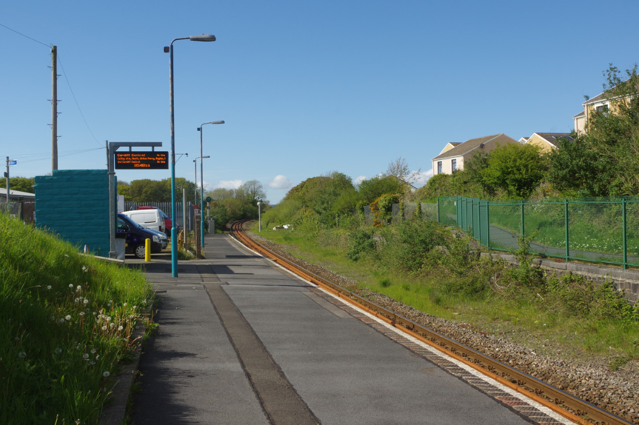
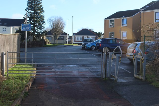
Johnston railway station
Johnston railway station is an unstaffed railway station in the village of Johnston in Pembrokeshire, Wales. It opened in 1856 as part of the final section...
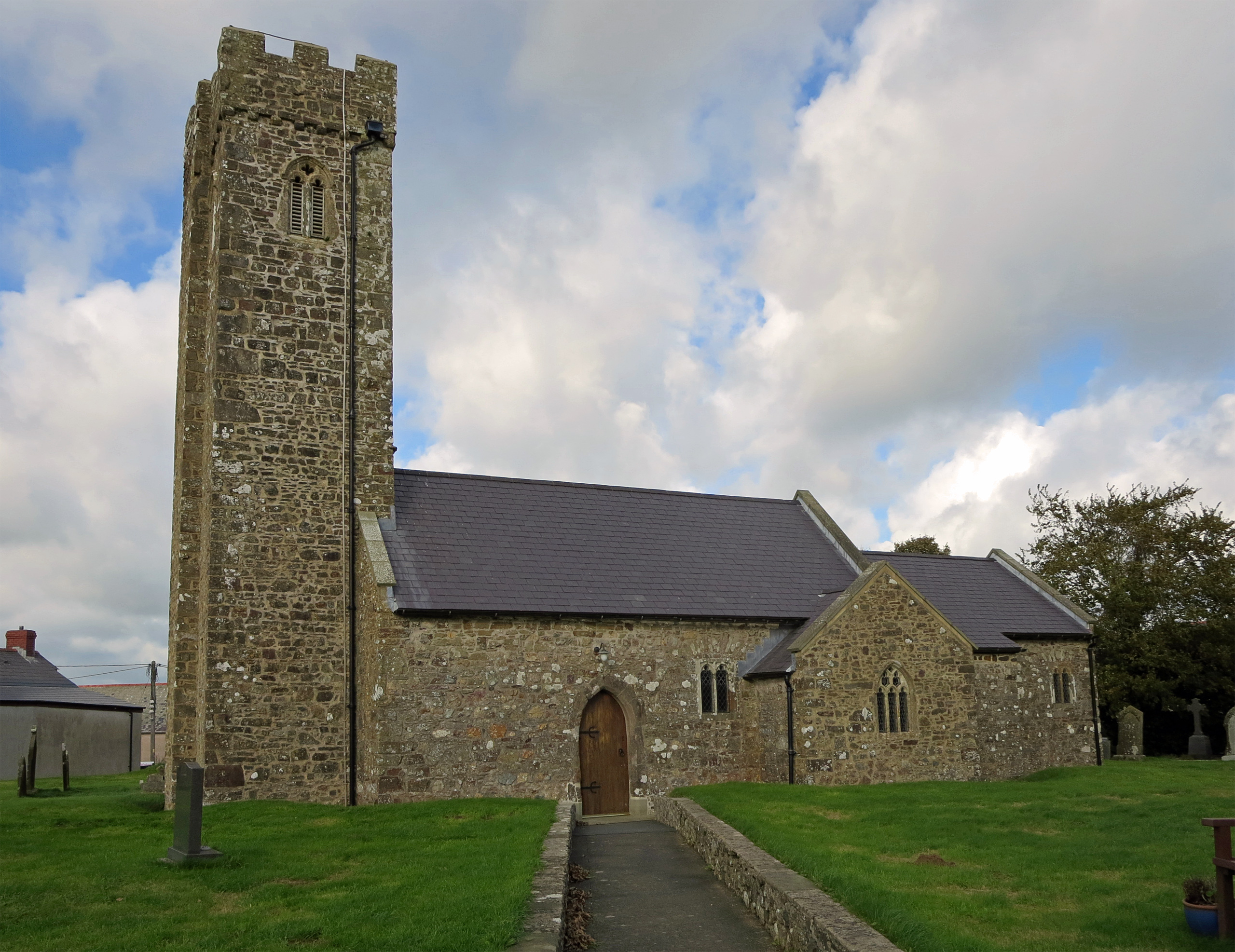
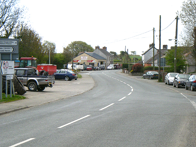
Johnston, Pembrokeshire
Johnston is a village, parish and community in the former hundred of Roose, Pembrokeshire, Wales, and a parish in the diocese of Diocese of St David's...
Tiers Cross
Tiers Cross is a village, community and electoral ward containing the community in Pembrokeshire, West Wales. It includes the areas of Thornton and Dreenhill...
Nearby Amenities
Located within 500m of 51.76857,-5.0101293Have you been to Boltonhill Wood?
Leave your review of Boltonhill Wood below (or comments, questions and feedback).