Bulstrode

Settlement in Hertfordshire Dacorum

England

Bulstrode

Garden Centre in Chipperfield This centre is in the middle of the village
Garden Centre in Chipperfield Credit: Jack Hill

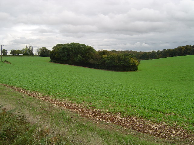
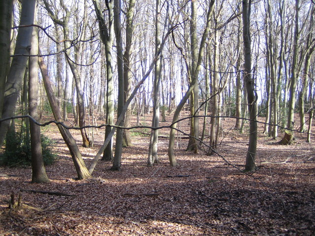
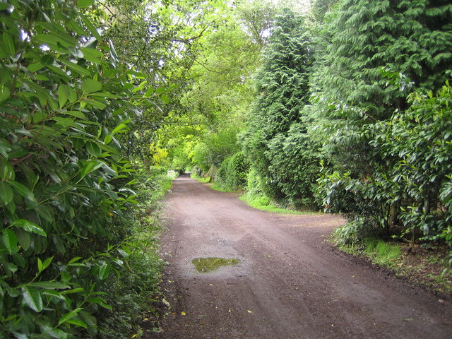
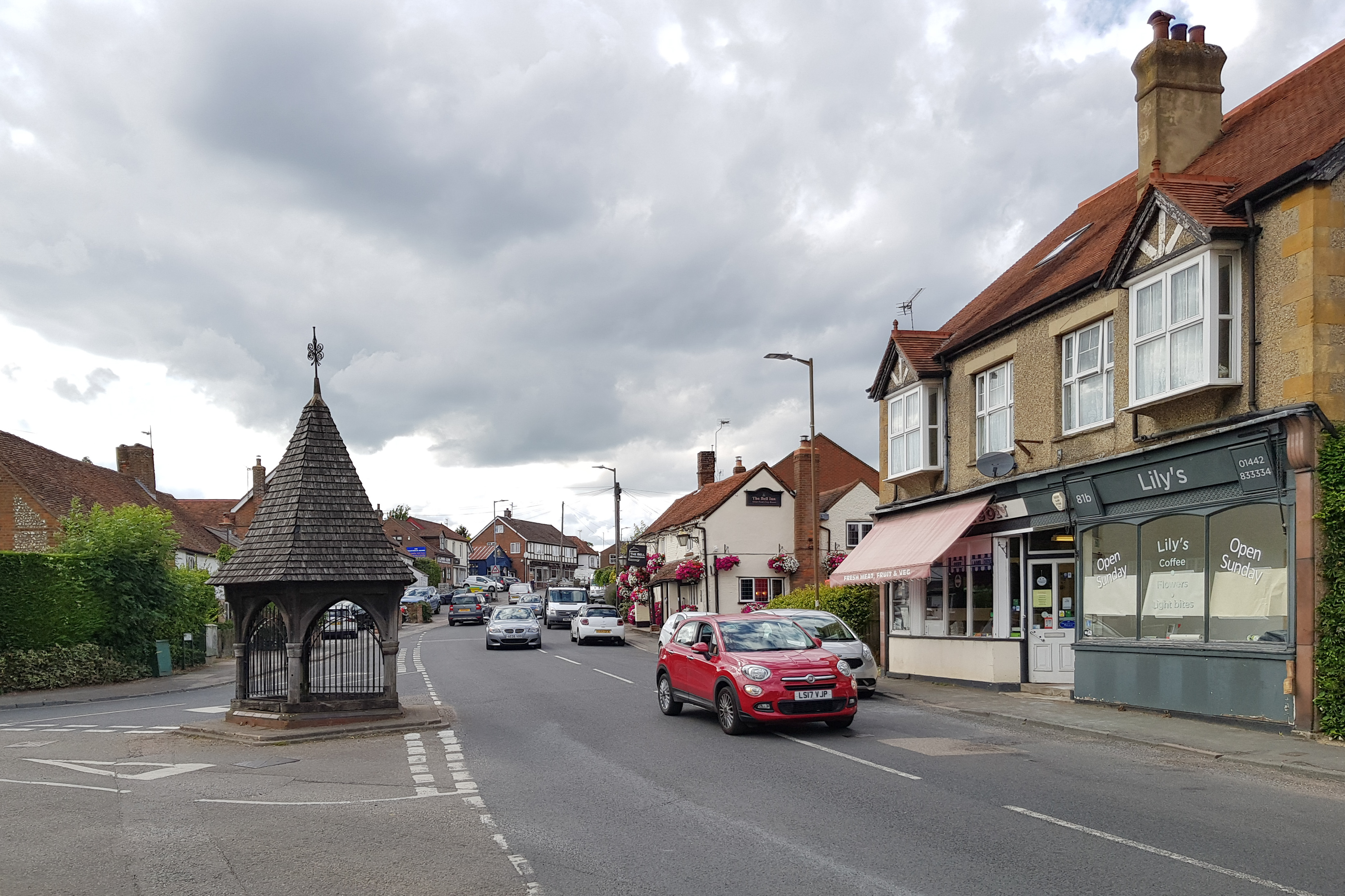
Bulstrode is a small village located in the county of Hertfordshire, England. Situated approximately 3 miles southeast of the town of Gerrards Cross, Bulstrode is known for its picturesque countryside and tranquil atmosphere. The village is nestled in the Chiltern Hills, an Area of Outstanding Natural Beauty, offering residents and visitors stunning views of the surrounding landscape.

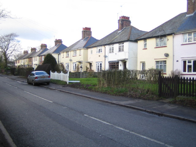
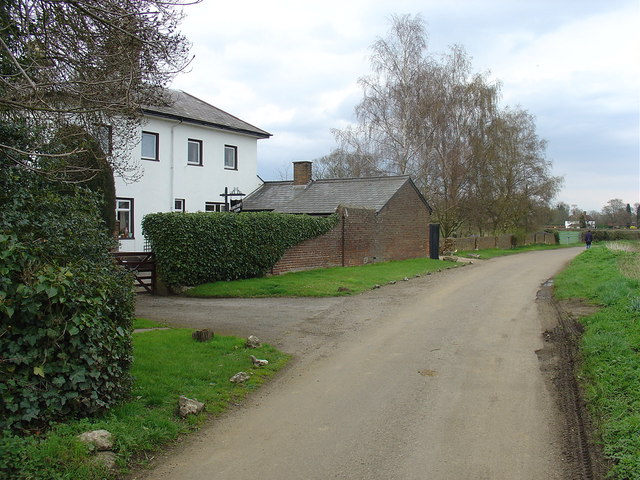
Bulstrode is home to a close-knit community, with a population of around 500 people. The village is characterized by its charming cottages and well-preserved historic buildings, reflecting its rich heritage. The centerpiece of Bulstrode is the magnificent Bulstrode Park, an extensive estate that spans over 200 acres. The park boasts lush greenery, beautiful gardens, and a grand mansion, which was built in the 18th century.

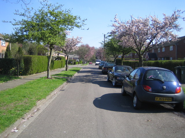
The village is well-connected to neighboring towns and cities, with good transport links. There are several bus routes that pass through Bulstrode, providing easy access to Gerrards Cross and other nearby areas. The village is also conveniently located close to major road networks, making it easily accessible by car.

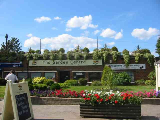
For amenities, Bulstrode has a village hall that serves as a community hub for various events and activities. There are also a few local shops and services available, providing essentials for residents. However, for a wider range of amenities, residents can easily access the nearby town of Gerrards Cross, which offers a variety of shops, restaurants, and recreational facilities.

Overall, Bulstrode is a peaceful and idyllic village, offering a serene countryside setting and a strong sense of community. Its natural beauty and historical charm make it an attractive place to live for those seeking a quieter and more rural lifestyle.

If you have any feedback on the listing, please let us know in the comments section below.
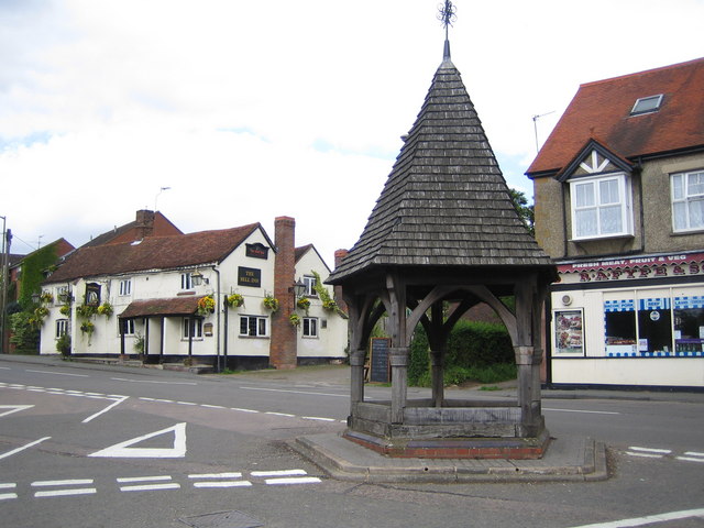
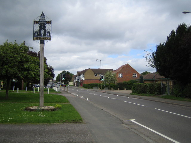
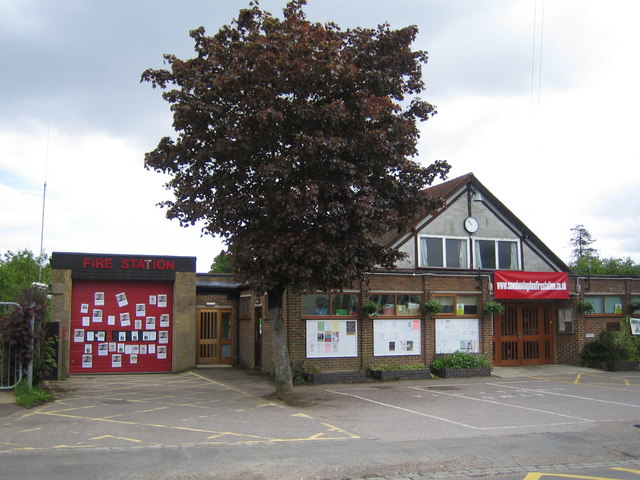
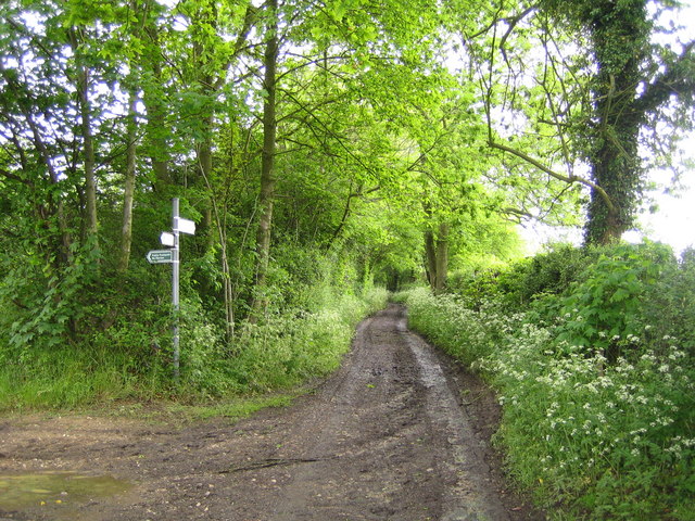
Bulstrode Images

Images are sourced within 2km of 51.716538/-0.51366506 or Grid Reference TL0203. Thanks to Geograph Open Source API. All images are credited.

Garden Centre in Chipperfield This centre is in the middle of the village
Garden Centre in Chipperfield
This centre is in the middle of the village
Chipperfield: Badgerdell Wood A delightfully named copse! Let's hope its denizens enjoy life, entirely surrounded as they are by some unidentified crop!
Chipperfield: Badgerdell Wood
A delightfully named copse! Let's hope its denizens enjoy life, entirely surrounded as they are by some unidentified crop!
Bovingdon: The Bell and The Bull Public Houses Bovingdon was once a centre of straw plaiting for hatmakers in Luton. Looking south eastwards down the High Street, The Bell is the near public house on the left, with The Bull the next building but one.
Bovingdon: The Bell and The Bull Public Houses
Bovingdon was once a centre of straw plaiting for hatmakers in Luton. Looking south eastwards down the High Street, The Bell is the near public house on the left, with The Bull the next building but one.
Bovingdon: Longcroft Lane Hedge flailing was in progress just down the lane in this view taken looking northwards from the junction with Chipperfield Road.
Bovingdon: Longcroft Lane
Hedge flailing was in progress just down the lane in this view taken looking northwards from the junction with Chipperfield Road.
Bovingdon: Boundary Cottages A neat row of semi-detached houses on Chipperfield Road.
Bovingdon: Boundary Cottages
A neat row of semi-detached houses on Chipperfield Road.
Chipperfield: Bulstrode Lane Dumped tyres spoil this view of the countryside, taken looking north eastwards along Bulstrode Lane.
Chipperfield: Bulstrode Lane
Dumped tyres spoil this view of the countryside, taken looking north eastwards along Bulstrode Lane.
Chipperfield: The Boot, Tower Hill
Belsize: Woodman's Wood Beech woodland at the eastern end of the wood, named after the nearby Woodman's Farm one suspects.
Belsize: Woodman's Wood
Beech woodland at the eastern end of the wood, named after the nearby Woodman's Farm one suspects.
Bovingdon: Holly Hedges Lane Aptly named and looking south eastwards towards Belsize.
Bovingdon: Holly Hedges Lane
Aptly named and looking south eastwards towards Belsize.
Bovingdon: Bovingdon Green Viewed looking northwards along The Green towards Bovingdon.
Bovingdon: Bovingdon Green
Viewed looking northwards along The Green towards Bovingdon.
Longcroft Farm
Longcroft Farm
Chipperfield: Croft Meadow A housing estate road on the north side of Chipperfield. The other roads in the estate are Croft End Road, Croft Close, Croft Field, and the estate is off Croft Lane.
Chipperfield: Croft Meadow
A housing estate road on the north side of Chipperfield. The other roads in the estate are Croft End Road, Croft Close, Croft Field, and the estate is off Croft Lane.
Bovingdon: Shothanger Way Although this is a private road, there is a public right of way along it, and it is viewed from the junction of Bushfield Road and Stoney Lane on the Hertfordshire Way between Bovingdon and Bourne End.
Bovingdon: Shothanger Way
Although this is a private road, there is a public right of way along it, and it is viewed from the junction of Bushfield Road and Stoney Lane on the Hertfordshire Way between Bovingdon and Bourne End.
Bovingdon: The Old Well and The Bell Inn Bovingdon's most recognisable landmark is the five-sided Old Well at the junction of Green Lane with the High Street. An inscription around the arches reads "This house with the well is dedicated to ye beloved memory of Ye Honourable Granville D Ryder, late of Westbrook Hay of this Parish, who was born on November 26th 1799 and died on November 24th 1879, and was raised by his relatives for the use and comfort of his friends. The Village of Bovingdon April 1881". Needless to say the well is now sealed...
Bovingdon: The Old Well and The Bell Inn
Bovingdon's most recognisable landmark is the five-sided Old Well at the junction of Green Lane with the High Street. An inscription around the arches reads "This house with the well is dedicated to ye beloved memory of Ye Honourable Granville D Ryder, late of Westbrook Hay of this Parish, who was born on November 26th 1799 and died on November 24th 1879, and was raised by his relatives for the use and comfort of his friends. The Village of Bovingdon April 1881". Needless to say the well is now sealed...
Bovingdon: Millennium Village Sign Bovingdon's Millennium Village Sign in the High Street features images of the Church of St Lawrence <a href="https://www.geograph.org.uk/photo/175841">TL0103 : Bovingdon: The Church of St Lawrence</a> and the Old Well <a href="https://www.geograph.org.uk/photo/175835">TL0103 : Bovingdon: The Old Well and The Bell Inn</a> .
Bovingdon: Millennium Village Sign
Bovingdon's Millennium Village Sign in the High Street features images of the Church of St Lawrence TL0103 : Bovingdon: The Church of St Lawrence and the Old Well TL0103 : Bovingdon: The Old Well and The Bell Inn .
Bovingdon: The Church of St Lawrence The Church was originally built in the 14th century but was rebuilt in 1846 and only the original tower now remains. The Church has one of the largest graveyards in Hertfordshire, which is characterized by the numerous cup-shaped yew trees.
Bovingdon: The Church of St Lawrence
The Church was originally built in the 14th century but was rebuilt in 1846 and only the original tower now remains. The Church has one of the largest graveyards in Hertfordshire, which is characterized by the numerous cup-shaped yew trees.
Bovingdon: Fire Station and Parish Council Offices In April 2006 Hertfordshire County Council voted to close down the local fire station in Bovingdon, and there is a heated campaign to save it. The campaign's website is here <span class="nowrap"><a title="http://www.save-bovingdon-firestation.co.uk/" rel="nofollow ugc noopener" href="http://www.save-bovingdon-firestation.co.uk/">Link</a><img style="margin-left:2px;" alt="External link" title="External link - shift click to open in new window" src="https://s1.geograph.org.uk/img/external.png" width="10" height="10"/></span>
Bovingdon: Fire Station and Parish Council Offices
In April 2006 Hertfordshire County Council voted to close down the local fire station in Bovingdon, and there is a heated campaign to save it. The campaign's website is here LinkExternal link
Bovingdon: Stoney Lane On the route of the Hertfordshire Way public footpath, between Bovingdon and Bourne End.
Bovingdon: Stoney Lane
On the route of the Hertfordshire Way public footpath, between Bovingdon and Bourne End.
Show me another place!

Bulstrode is located at Grid Ref: TL0203 (Lat: 51.716538, Lng: -0.51366506)

Administrative County: Hertfordshire

District: Dacorum

Police Authority: Hertfordshire

What 3 Words

///little.drop.comical. Near Bovingdon, Hertfordshire

Nearby Locations

Bulstrode Homefield Spring

Related Wikis

Bovingdon

Bovingdon is a village in Hertfordshire, England, 4 miles (6.4 km) southwest of Hemel Hempstead, and it is a civil parish within the local authority area...

HM Prison The Mount

HM Prison The Mount is a Category C men's prison, located on the outskirts of Bovingdon village in Hertfordshire, England. The Mount Prison is operated...

Chipperfield

Chipperfield is a village and civil parish in the Dacorum district of Hertfordshire, England, approximately five miles southwest of Hemel Hempstead and...

Belsize, Hertfordshire

Belsize is a hamlet in Sarratt civil parish, Three Rivers District, Hertfordshire, England, situated less than a mile from Chipperfield and Sarratt.Belsize...

South West Hertfordshire (UK Parliament constituency)

South West Hertfordshire is a constituency in the House of Commons of the UK Parliament, represented since 2019 by Gagan Mohindra, a Conservative. ��2...
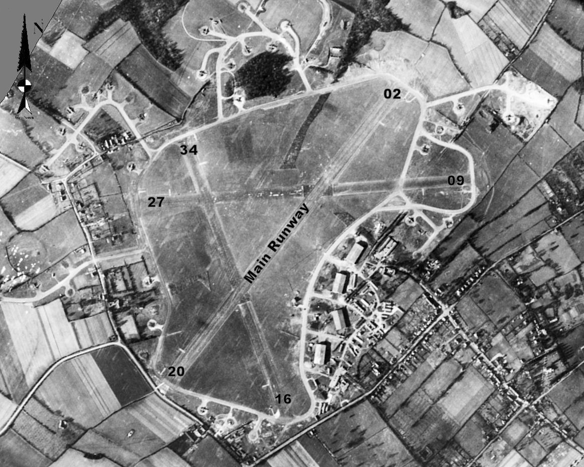
RAF Bovingdon

Royal Air Force Bovingdon or more simply RAF Bovingdon is a former Royal Air Force station located near the village of Bovingdon, Hertfordshire, England...

Flaunden

Flaunden is a village and a civil parish in Hertfordshire, England, close to the border with Buckinghamshire. Old Flaunden was on the banks of the River...

Westbrook Hay

Westbrook Hay School is a culturally significant great house located in Hemel Hempstead, Hertfordshire, England, that has housed the independent Westbrook...

Nearby Amenities

Located within 500m of 51.716538,-0.51366506
Bus Stop
Bulstrode Lane
Naptan AtcoCode: 210021403860
Naptan Bearing: NW
Naptan CommonName: Bulstrode Lane
Naptan Crossing: opp Bulstrode Lane
Naptan Indicator: opp
Naptan Landmark: opp Bulstrode Lane
Naptan NaptanCode: hrtdjmwg
Naptan ShortCommonName: NA
Naptan Street: Tower Hill
Naptan Verified: no
Public Transport: platform
Source: naptan_import
Lat/Long: 51.7145654/-0.5081478
Bus Stop
Flaunden Lane
Naptan AtcoCode: 210021403880
Naptan Bearing: NW
Naptan CommonName: Flaunden Lane
Naptan Crossing: Cross Farm
Naptan Indicator: opp
Naptan Landmark: Cross Farm
Naptan NaptanCode: hrtdjmja
Naptan ShortCommonName: NA
Naptan Street: Chipperfield Road
Naptan Verified: no
Public Transport: platform
Source: naptan_import
Lat/Long: 51.7160685/-0.5125136
Bus Stop
Longcroft Lane
Bus: yes
Naptan AtcoCode: 210021403900
Naptan Bearing: NW
Naptan CommonName: Longcroft Lane
Naptan Crossing: opp Bovingdon Lodge
Naptan Indicator: opp
Naptan Landmark: opp Bovingdon Lodge
Naptan NaptanCode: hrtdjmjd
Naptan ShortCommonName: NA
Naptan Street: Chipperfield Road
Naptan Verified: no
Public Transport: platform
Shelter: no
Source: naptan_import
Lat/Long: 51.7178812/-0.5200544
Bus Stop
Flaunden Lane
Bus: yes
Naptan AtcoCode: 210021408920
Naptan Bearing: SE
Naptan CommonName: Flaunden Lane
Naptan Crossing: opp Cross Farm
Naptan Indicator: adj
Naptan Landmark: opp Cross Farm
Naptan NaptanCode: hrtdgwmp
Naptan ShortCommonName: NA
Naptan Street: Chipperfield Road
Naptan Verified: no
Public Transport: platform
Source: naptan_import
Lat/Long: 51.7166921/-0.5141869
Bus Stop
Bulstrode Lane
Local Ref: NR
Naptan AtcoCode: 210021408940
Naptan Bearing: SE
Naptan CommonName: Bulstrode Lane
Naptan Crossing: Bulstrode Lane
Naptan Indicator: nr
Naptan Landmark: Bulstrode Lane
Naptan NaptanCode: hrtdgwmw
Naptan ShortCommonName: NA
Naptan Street: Tower Hill
Naptan Verified: no
Public Transport: platform
Source: naptan_import
Lat/Long: 51.7147758/-0.5084304
Street Farm
Place: farm
Lat/Long: 51.7172195/-0.5158864
Post Box
Collection Times: Mo-Fr 16:15; Sa 09:00
Operator: Royal Mail
Post Box Type: wall
Ref: HP3 149
Royal Cypher: EVIIR
Royal Cypher Wikidata: Q33102324
Source: survey
Survey Date: 2016-03-25
Lat/Long: 51.7181972/-0.5202174
Power: substation
Lat/Long: 51.7165613/-0.5134423
Colour: white
Marker: post
Material: concrete
Utility: oil
Lat/Long: 51.7145692/-0.5078722
Colour: white
Marker: post
Material: concrete
Utility: oil
Lat/Long: 51.7145128/-0.5079842
Colour: white
Marker: post
Material: concrete
Utility: oil
Lat/Long: 51.7145161/-0.507989
Colour: white
Marker: post
Material: concrete
Utility: oil
Lat/Long: 51.71451/-0.5079798
Colour: white
Description: White post with red hat/roof
Marker: aerial
Material: concrete
Utility: oil
Lat/Long: 51.7145114/-0.5079867
Colour: white
Marker: post
Material: concrete
Utility: oil
Lat/Long: 51.7146184/-0.5160158
Colour: white
Marker: post
Material: concrete
Utility: oil
Lat/Long: 51.7146221/-0.516012
Colour: white
Marker: post
Material: concrete
Utility: oil
Lat/Long: 51.7146259/-0.5160076
Colour: white
Marker: post
Material: concrete
Utility: oil
Lat/Long: 51.7146152/-0.5159561
Colour: white
Marker: post
Material: concrete
Utility: oil
Lat/Long: 51.714619/-0.5159523
Colour: white
Marker: post
Material: concrete
Utility: oil
Lat/Long: 51.7146227/-0.515948
The data included in this document is from www.openstreetmap.org. The data is made available under ODbL.

Have you been to Bulstrode?

Leave your review of Bulstrode below (or comments, questions and feedback).