Caldey Island
Island in Pembrokeshire
Wales
Caldey Island
Caldey Island is a small island located just off the coast of Pembrokeshire, Wales. Spanning approximately 2.5 square kilometers, the island lies about 3 kilometers southwest of Tenby, a popular seaside town. Caldey Island is known for its natural beauty, rich history, and tranquil atmosphere.
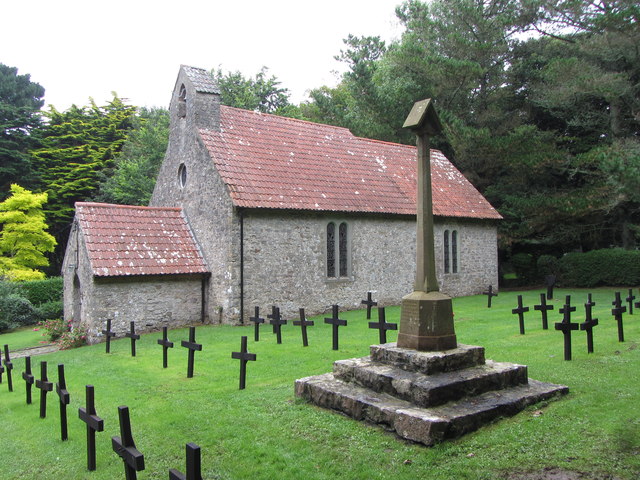
The island is home to a small population of around 40 residents, mostly members of the Cistercian Order. The monks have inhabited the island since the 6th century, creating a monastic settlement that remains active to this day. Visitors to Caldey Island can explore the monastery, visit the historic abbey church, and witness the monks' way of life.
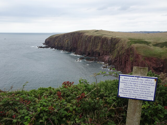
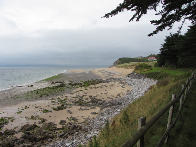
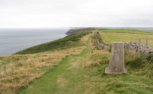
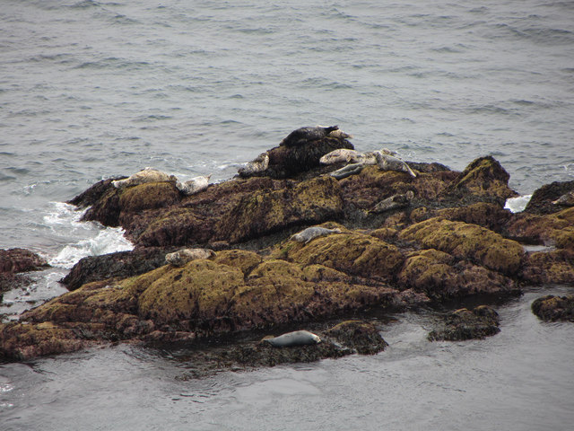
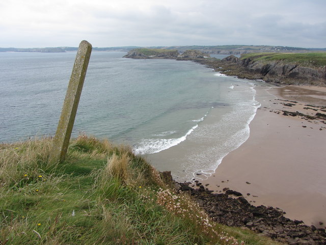
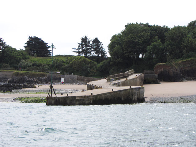
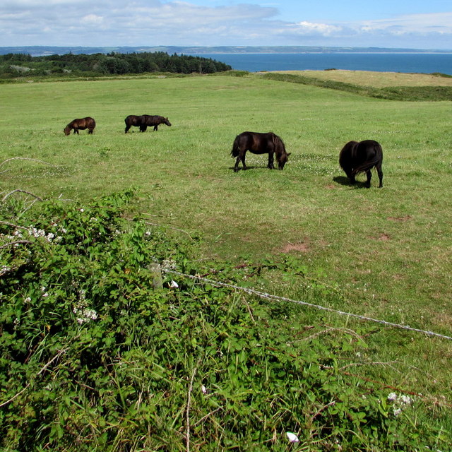
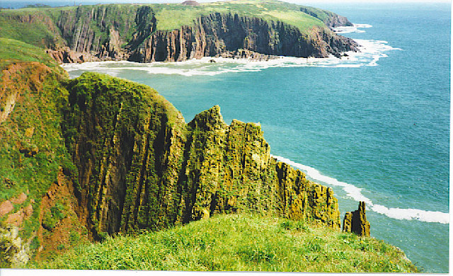
In addition to the monastic buildings, Caldey Island boasts stunning landscapes and diverse flora and fauna. The island's coastline is dotted with picturesque sandy beaches and rugged cliffs, providing opportunities for scenic walks and birdwatching. The surrounding waters are also protected as a marine nature reserve, offering a haven for seals, dolphins, and a variety of seabirds.
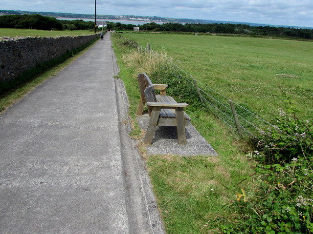
Accessible to the public via a short boat trip from Tenby, Caldey Island provides a peaceful and tranquil escape from the mainland. Visitors can enjoy the island's natural beauty, stroll through its quaint village, and browse the local shops, which are famous for their handmade chocolate and perfumes produced by the monks.
Whether seeking a spiritual retreat, a nature-filled adventure, or simply a day trip to a unique destination, Caldey Island offers a captivating experience for visitors of all interests.
If you have any feedback on the listing, please let us know in the comments section below.
Caldey Island Images
Images are sourced within 2km of 51.6365/-4.6914 or Grid Reference SS1496. Thanks to Geograph Open Source API. All images are credited.
Caldey Island is located at Grid Ref: SS1496 (Lat: 51.6365, Lng: -4.6914)
Unitary Authority: Pembrokeshire
Police Authority: Dyfed Powys
Also known as: Ynys Bŷr
What 3 Words
///tangling.branch.pursue. Near Penally, Pembrokeshire
Nearby Locations
Related Wikis

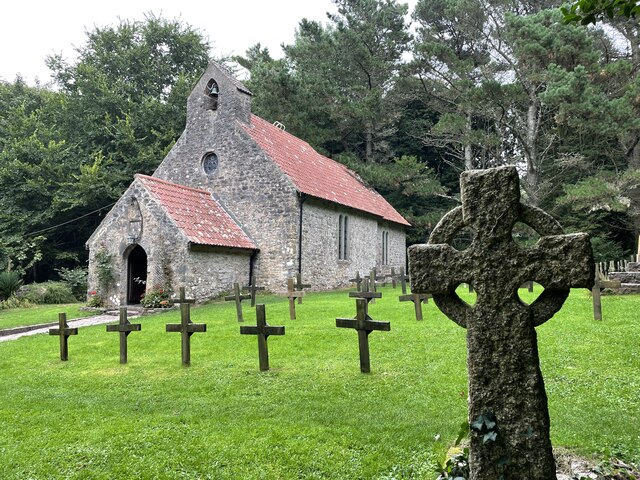
Caldey Priory
Caldey Priory is a Grade I-listed priory on Caldey Island off the coast of Pembrokeshire, Wales, some 300 metres (330 yd) south of the modern Caldey Abbey...
Caldey Island
Caldey Island (Welsh:Ynys Bŷr) is a small island near Tenby, Pembrokeshire, Wales, less than 1 mile (1.6 km) off the coast. With a recorded history going...

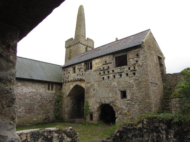
Caldey Abbey
Caldey Abbey is an abbey of the Trappists situated on Caldey Island off the coast of Pembrokeshire, Wales, south of Tenby. Caldey Island has been known...

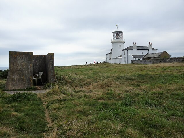
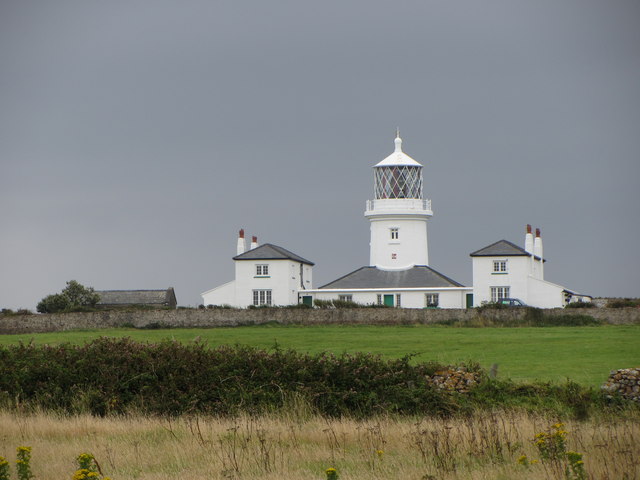
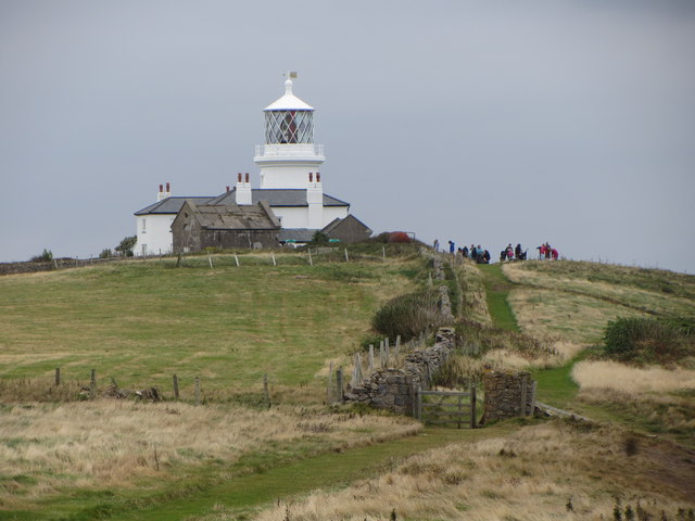
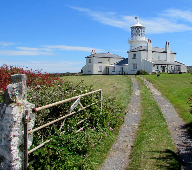
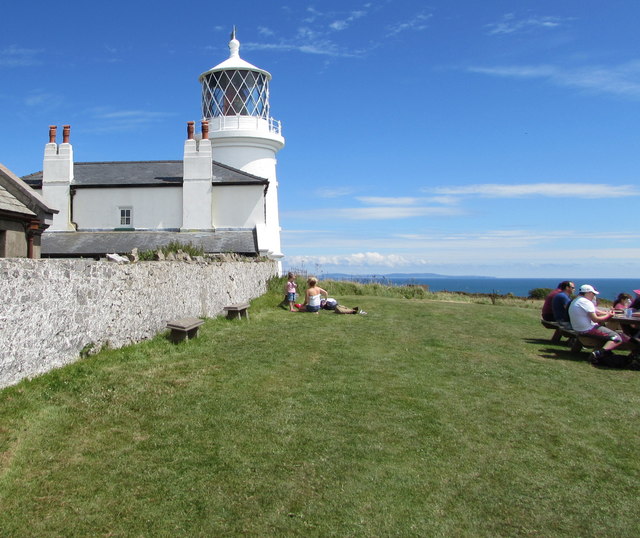
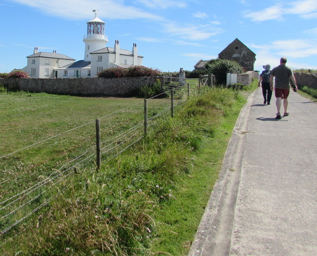
Caldey Lighthouse
Caldey Lighthouse is located on the south end of Caldey Island, three miles (5 km) off the south Pembrokeshire, Wales coastline, a small island inhabited...
Nearby Amenities
Located within 500m of 51.6365,-4.6914Have you been to Caldey Island?
Leave your review of Caldey Island below (or comments, questions and feedback).