Bullum's Bay
Bay in Pembrokeshire
Wales
Bullum's Bay
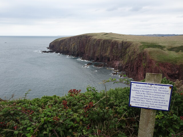
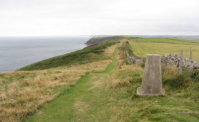
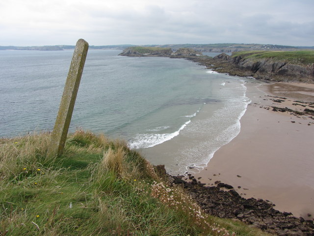
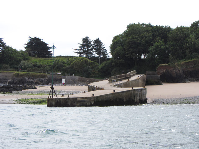
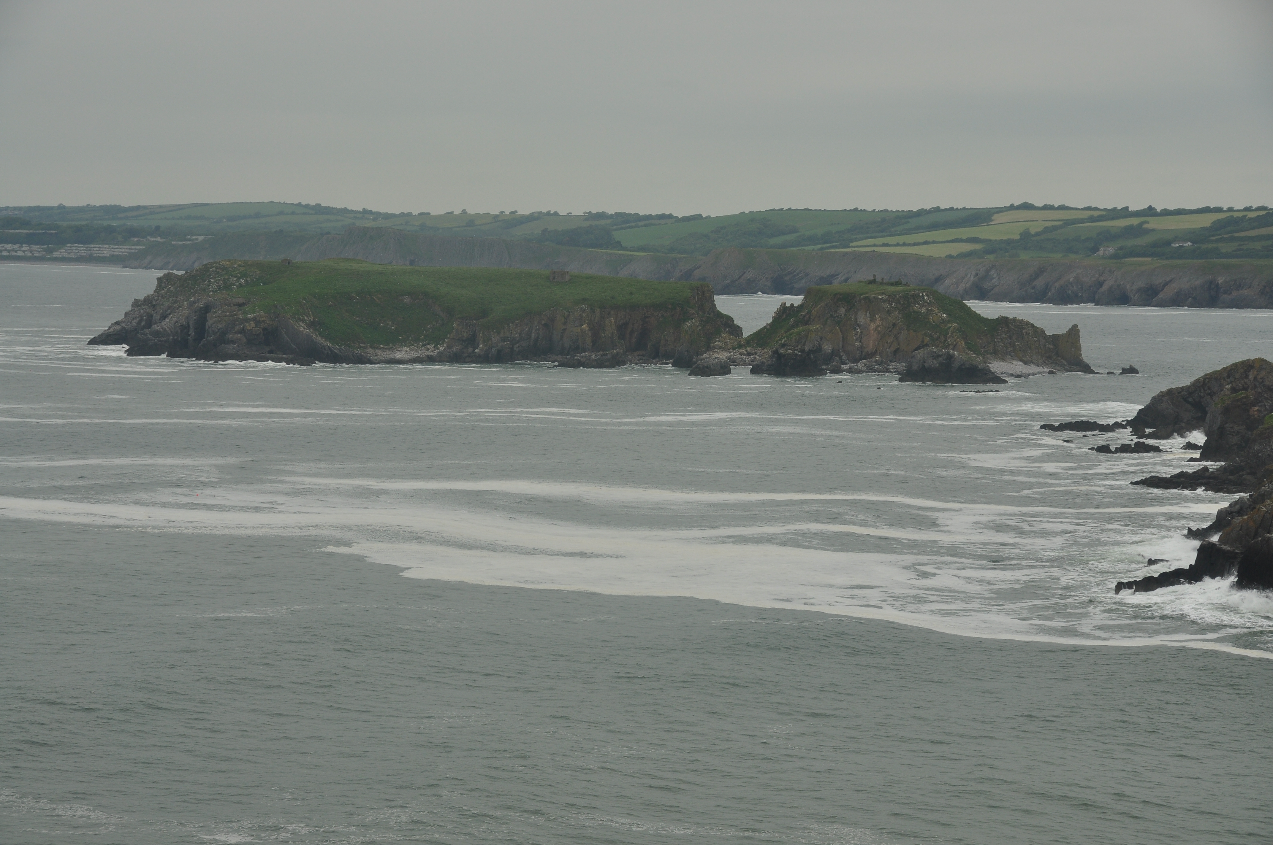
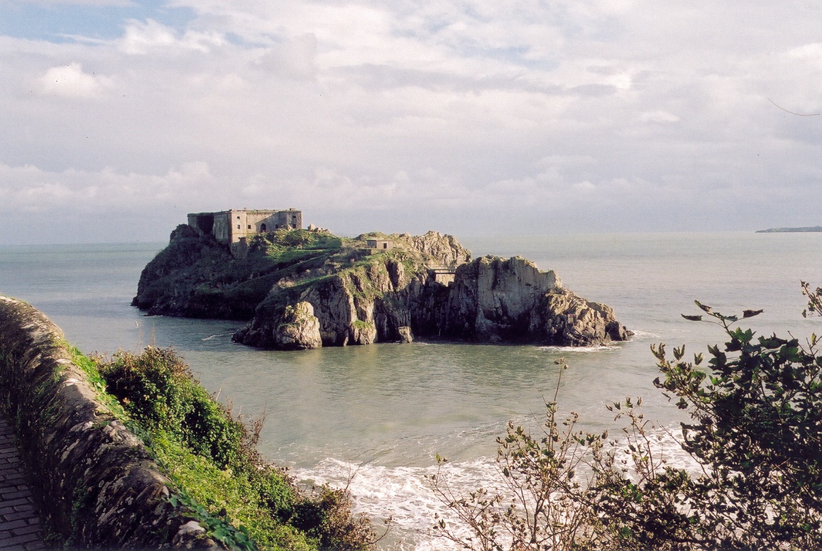
Bullum's Bay is a picturesque coastal area located in Pembrokeshire, Wales. Situated on the western coast of the country, this bay is known for its stunning natural beauty and tranquil atmosphere. It is a popular destination for tourists seeking a peaceful getaway and outdoor enthusiasts looking to explore the rugged coastline.
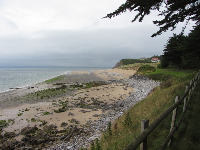
The bay offers a sandy beach that stretches for approximately 1.5 kilometers, providing ample space for sunbathing, picnicking, and leisurely walks. The crystal-clear waters of the bay are suitable for swimming, and there are lifeguards on duty during the peak summer months to ensure the safety of visitors.
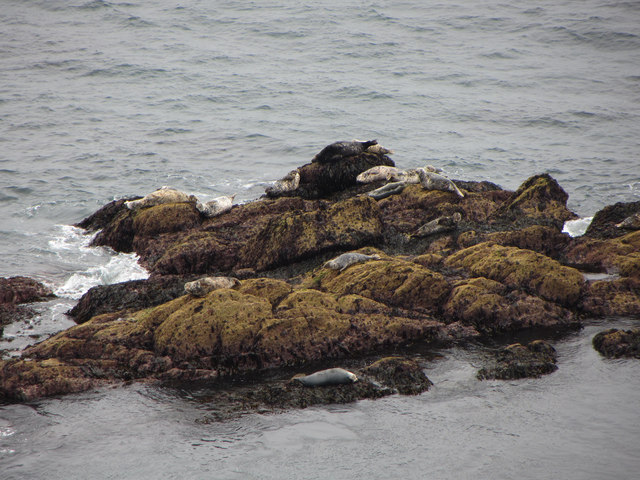
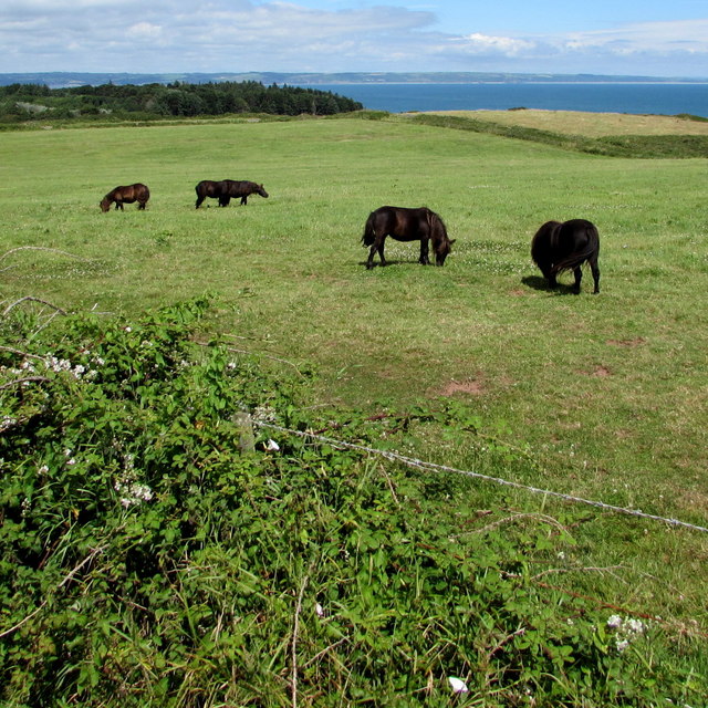
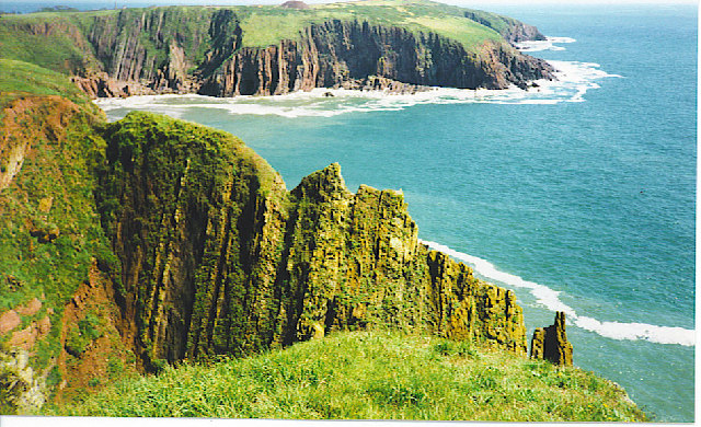
Surrounded by cliffs and rolling hills, Bullum's Bay offers breathtaking views of the surrounding landscape. It is a haven for wildlife, with a variety of seabirds, seals, and occasionally dolphins being spotted in the bay. The area is also home to a diverse range of flora and fauna, with wildflowers and grasses creating a colorful display during the spring and summer months.
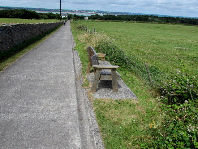
For those interested in outdoor activities, Bullum's Bay provides opportunities for coastal hikes, rock climbing, and sea kayaking. The bay is also a popular spot for fishing, with anglers often trying their luck from the shores or on small boats.
Facilities in Bullum's Bay include a car park, public toilets, and a nearby café offering refreshments and light meals. It is important to note that there are no lifeguards on duty outside of the designated swimming season, and caution should be exercised when exploring the cliffs or engaging in water activities.
If you have any feedback on the listing, please let us know in the comments section below.
Bullum's Bay Images
Images are sourced within 2km of 51.636588/-4.675869 or Grid Reference SS1496. Thanks to Geograph Open Source API. All images are credited.
Bullum's Bay is located at Grid Ref: SS1496 (Lat: 51.636588, Lng: -4.675869)
Unitary Authority: Pembrokeshire
Police Authority: Dyfed Powys
What 3 Words
///ambushed.thatched.shout. Near Penally, Pembrokeshire
Nearby Locations
Related Wikis

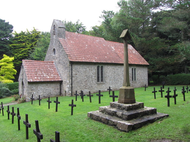
Caldey Abbey
Caldey Abbey is an abbey of the Trappists situated on Caldey Island off the coast of Pembrokeshire, Wales, south of Tenby. Caldey Island has been known...

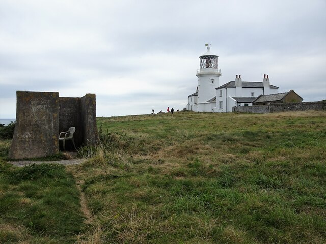
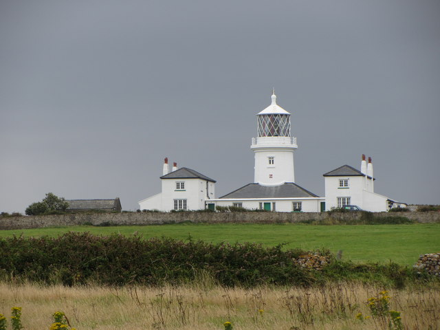
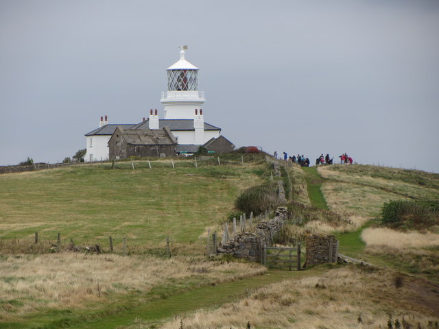
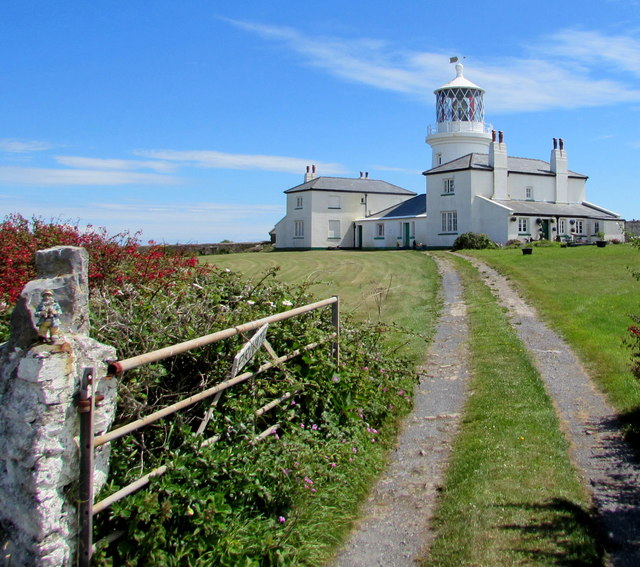
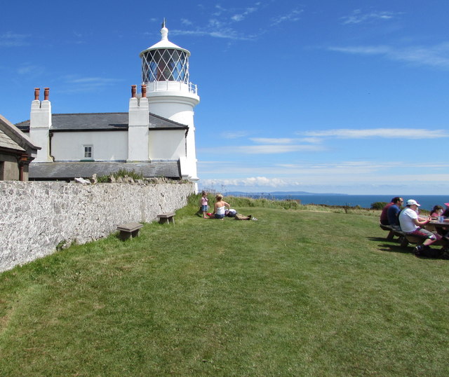
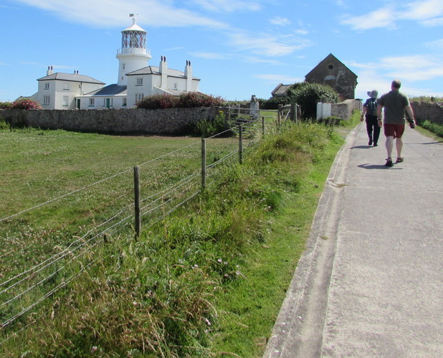
Caldey Lighthouse
Caldey Lighthouse is located on the south end of Caldey Island, three miles (5 km) off the south Pembrokeshire, Wales coastline, a small island inhabited...

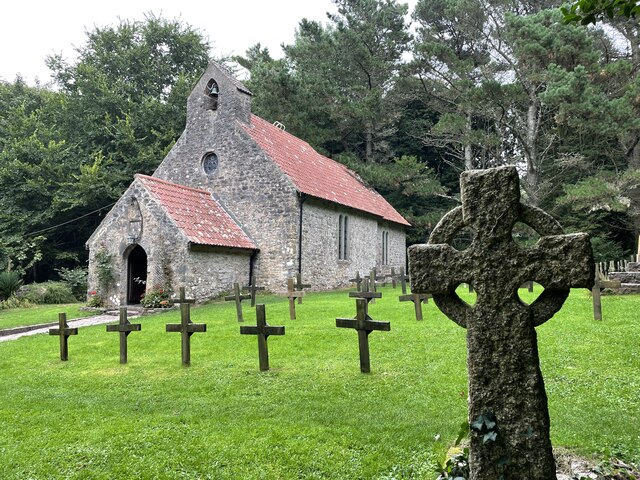
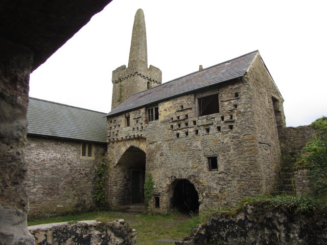
Caldey Priory
Caldey Priory is a Grade I-listed priory on Caldey Island off the coast of Pembrokeshire, Wales, some 300 metres (330 yd) south of the modern Caldey Abbey...
Caldey Island
Caldey Island (Welsh:Ynys Bŷr) is a small island near Tenby, Pembrokeshire, Wales, less than 1 mile (1.6 km) off the coast. With a recorded history going...
St Margaret's Island
St Margaret's Island (Welsh: Ynys Farged) is a small tidal island to the northwest of Caldey Island in Carmarthen Bay, Pembrokeshire, Wales. == Name... ==
St Catherine's Island
St Catherine's Island (Welsh: Ynys Catrin) is a small tidal island linked to Tenby in Pembrokeshire, Wales, by Castle beach at low tide. The island, which...
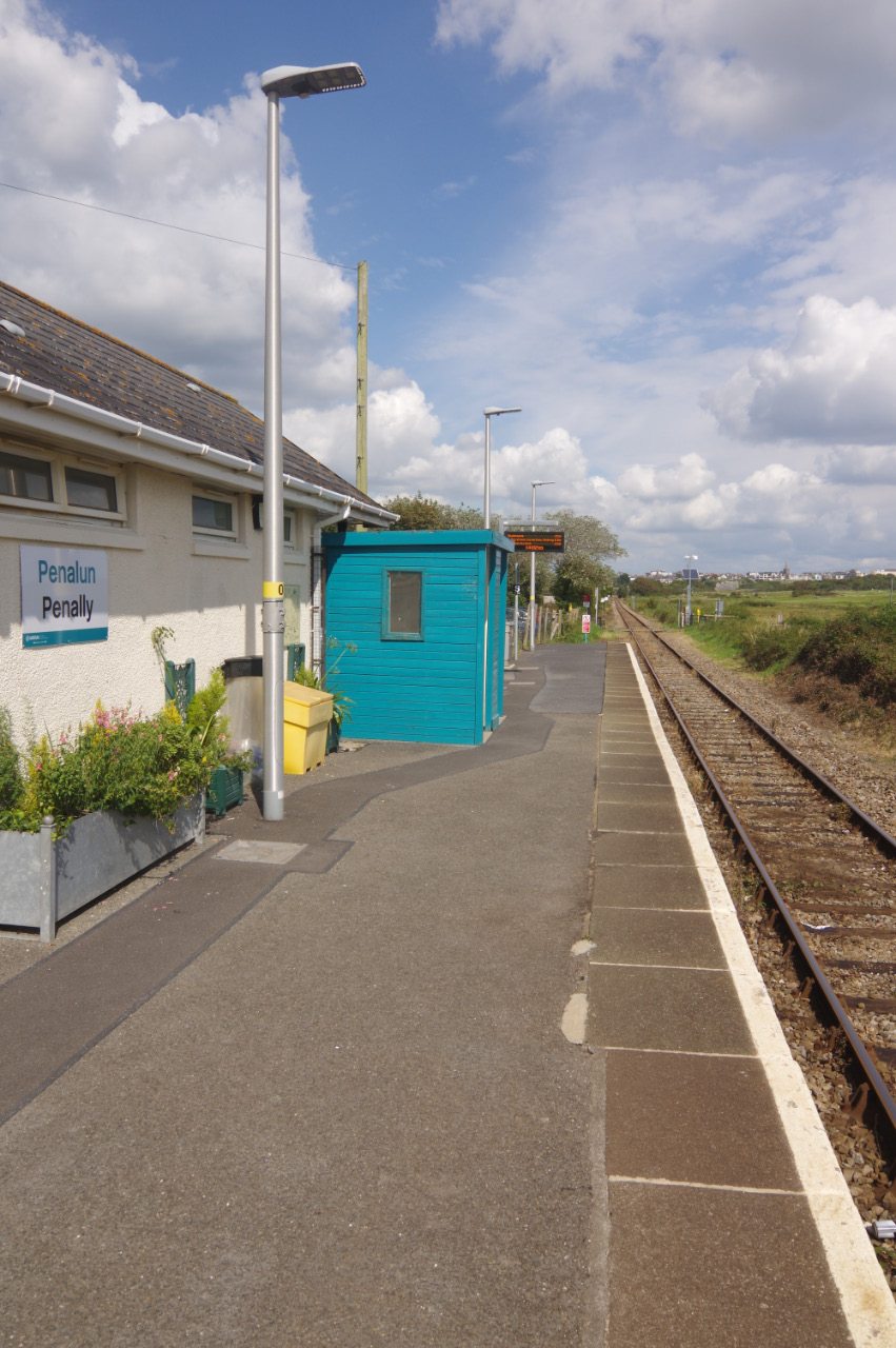
Penally railway station
Penally railway station serves the village of Penally in Pembrokeshire, Wales. It is on the Pembroke Dock branch of the West Wales Line operated by Transport...
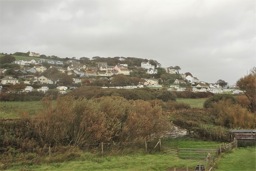
Penally
Penally (Welsh: Penalun) is a coastal village, parish and community 1 mile (1.6 km) southwest of Tenby in Pembrokeshire, Wales. The village is known for...
Nearby Amenities
Located within 500m of 51.636588,-4.675869Have you been to Bullum's Bay?
Leave your review of Bullum's Bay below (or comments, questions and feedback).