Anglesey
Island in Anglesey
Wales
Anglesey
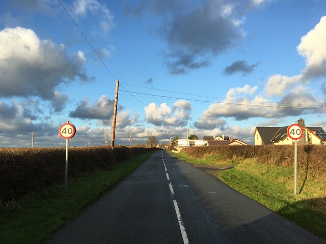
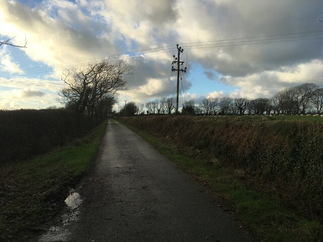
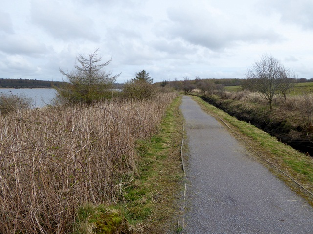
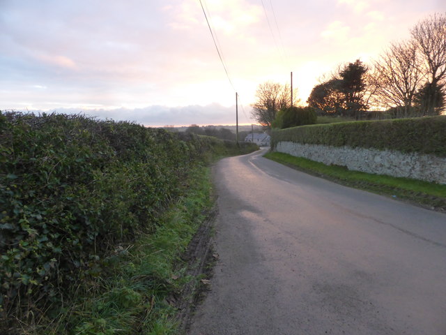
Anglesey is a picturesque island located off the northwest coast of Wales, in the Irish Sea. It is the largest island in Wales and the fifth largest in the British Isles. With an area of approximately 276 square miles, Anglesey is known for its stunning coastline, rich history, and diverse wildlife.
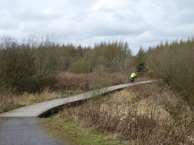
The island is connected to mainland Wales by the Menai Suspension Bridge and the Britannia Bridge, making it easily accessible for tourists and locals alike. Anglesey boasts a varied landscape, encompassing rolling hills, sandy beaches, and rugged cliffs, offering a range of outdoor activities and scenic views.
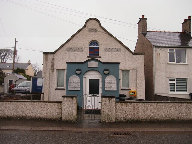
Anglesey has a rich history, with evidence of human settlement dating back to the Stone Age. The island is home to numerous historical sites, including ancient burial chambers, Iron Age hillforts, and medieval castles. The most famous of these is Beaumaris Castle, a UNESCO World Heritage site. Other notable attractions include the Neolithic chambered tomb of Bryn Celli Ddu and the prehistoric village of Din Lligwy.
The island is renowned for its diverse wildlife and is a popular destination for birdwatching enthusiasts. Anglesey is home to several nature reserves, including the South Stack Cliffs RSPB Reserve, which provides a habitat for a wide variety of seabirds, including puffins and razorbills.
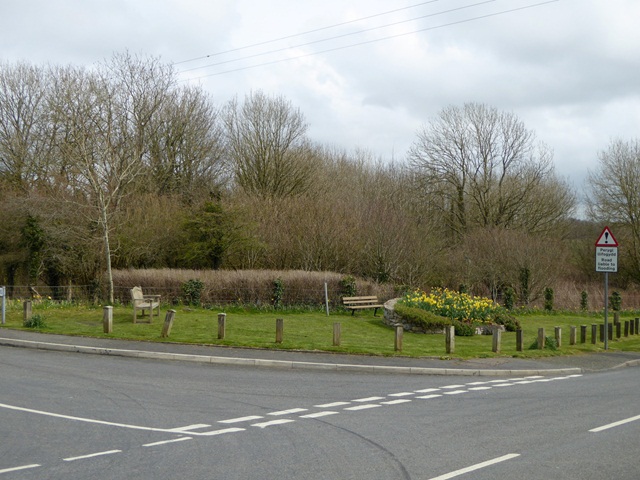
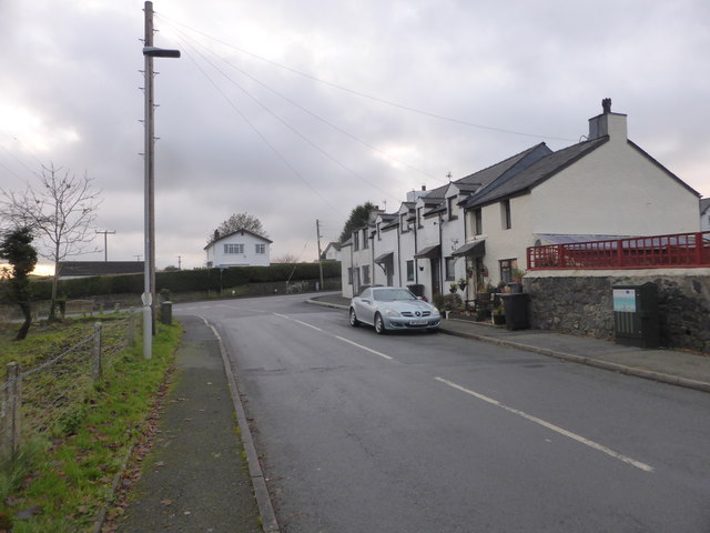
In addition to its natural beauty and historical significance, Anglesey offers visitors a range of amenities, including charming villages, cozy pubs, and delicious local cuisine. Whether exploring the island's rich history, enjoying its stunning beaches, or immersing oneself in its vibrant culture, Anglesey offers something for everyone.
If you have any feedback on the listing, please let us know in the comments section below.
Anglesey Images
Images are sourced within 2km of 53.2777/-4.3614 or Grid Reference SH4278. Thanks to Geograph Open Source API. All images are credited.


Anglesey is located at Grid Ref: SH4278 (Lat: 53.2777, Lng: -4.3614)
Unitary Authority: Isle of Anglesey
Police Authority: North Wales
Also known as: Ynys Môn
What 3 Words
///bookshelf.lived.removals. Near Llangefni, Isle of Anglesey
Related Wikis

Ynys Môn (Senedd constituency)
Ynys Môn is a constituency of the Senedd. It elects one Member of the Senedd by the first past the post method of election. Also, however, it is one of...

Llangwyllog
Llangwyllog () is a small village and ancient parish in the centre of Anglesey, Wales. It is found three miles to the north of the island's capital, Llangefni...
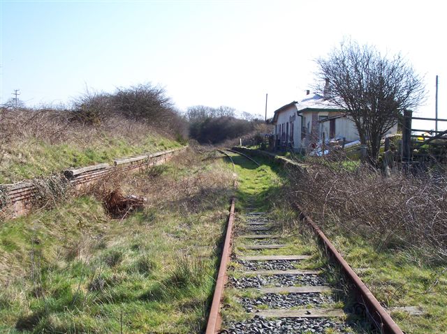
Llangwyllog railway station
Llangwyllog railway station was situated on the Anglesey Central Railway line from Gaerwen to Amlwch. The single storey station building with ticket and...

GeoMôn
GeoMôn UNESCO Global Geopark is a Geopark covering the entire island of Anglesey in north Wales. It was admitted to the European Geoparks Network and to...
Have you been to Anglesey?
Leave your review of Anglesey below (or comments, questions and feedback).