Abaty Tyndyrn

Heritage Site in Monmouthshire

Wales

Abaty Tyndyrn

Tourist at Tintern Abbey As I was wandering around and about the abbey taking photos this retired couple pulled their car onto the pavement and the wife climbed out and took a few digital photos of the ruins, the husband rummaged in a camera case in the boot and took a few photos with his digital SLR then he climbed back into the car and they went. Tintern done in maybe two minutes. "What is this life, if full of care, we have no time to stand and stare?"...
Tourist at Tintern Abbey Credit: Jeremy Bolwell

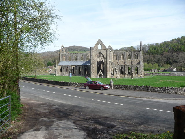
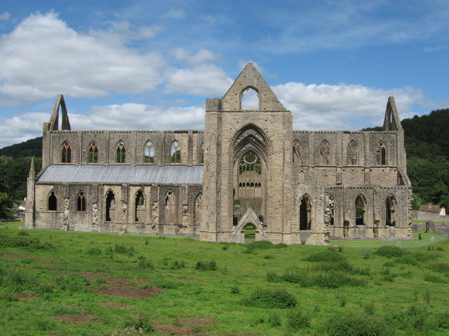
Abaty Tyndyrn, located in Monmouthshire, Wales, is a historic heritage site that was originally founded in the 12th century. The site was home to a Cistercian monastery, known for its simple and elegant architectural style. The monastery was built in a secluded valley, surrounded by lush greenery and rolling hills, creating a tranquil and picturesque setting for the monks who lived there.

Abaty Tyndyrn played a significant role in the local community, serving as a center of religious worship, education, and agricultural production. The monks who resided there were known for their dedication to prayer, meditation, and manual labor, which helped sustain the monastery and its surrounding lands.

Today, Abaty Tyndyrn is a popular tourist destination, attracting visitors from around the world who come to admire its historic buildings, beautiful gardens, and peaceful atmosphere. The site has been carefully preserved and restored, allowing visitors to step back in time and experience the rich history and cultural heritage of this ancient monastery.

If you have any feedback on the listing, please let us know in the comments section below.

Abaty Tyndyrn Images

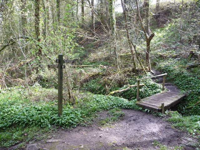
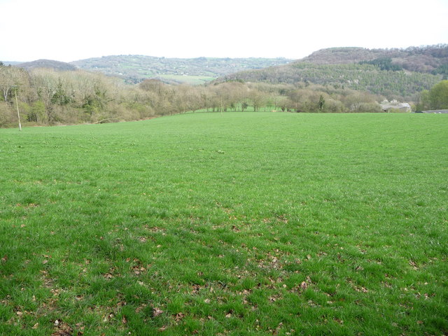
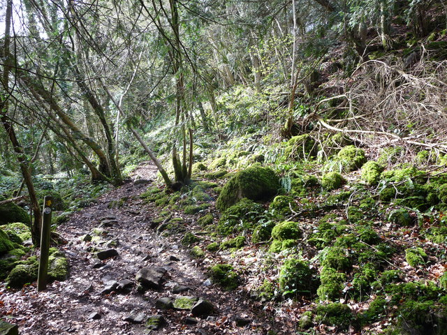
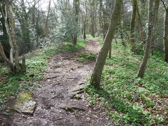
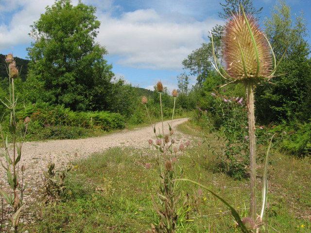
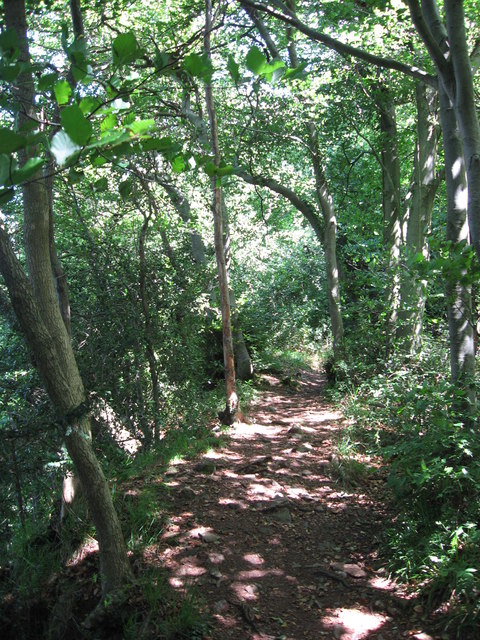
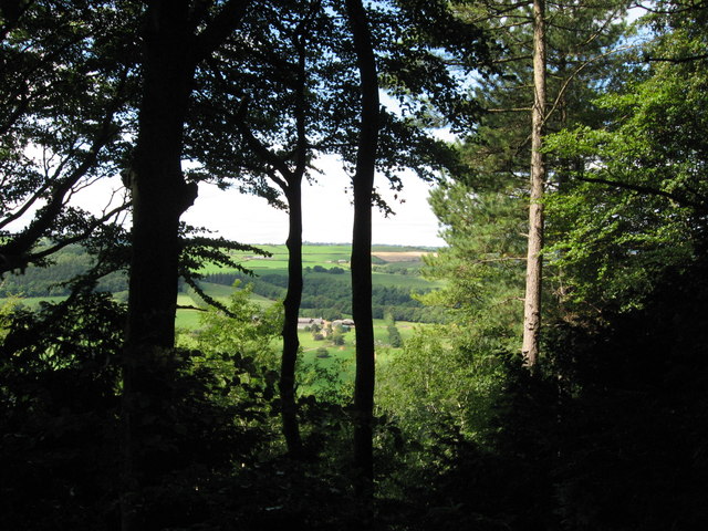
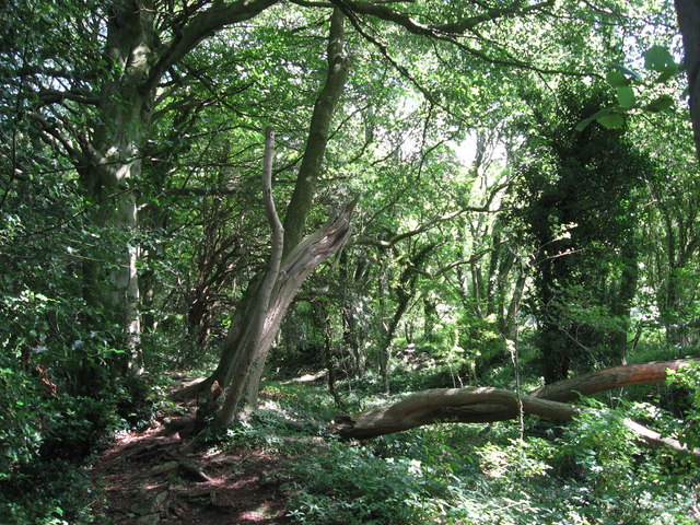
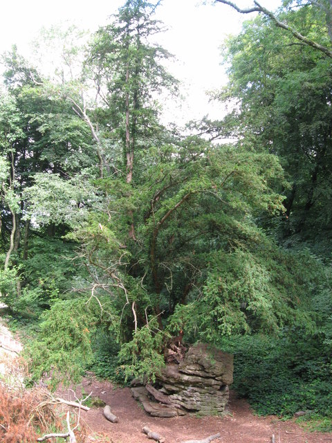
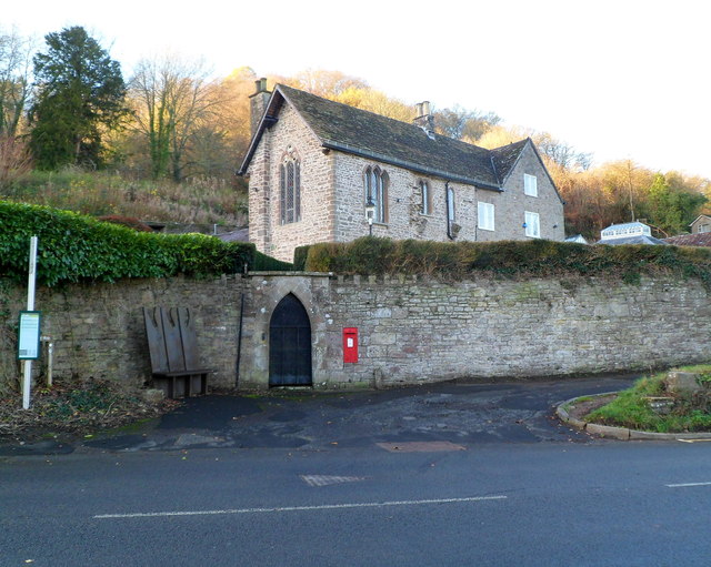
Images are sourced within 2km of 51.6969/-2.6768 or Grid Reference SO5300. Thanks to Geograph Open Source API. All images are credited.

Tourist at Tintern Abbey As I was wandering around and about the abbey taking photos this retired couple pulled their car onto the pavement and the wife climbed out and took a few digital photos of the ruins, the husband rummaged in a camera case in the boot and took a few photos with his digital SLR then he climbed back into the car and they went. Tintern done in maybe two minutes. "What is this life, if full of care, we have no time to stand and stare?"...
Tourist at Tintern Abbey
As I was wandering around and about the abbey taking photos this retired couple pulled their car onto the pavement and the wife climbed out and took a few digital photos of the ruins, the husband rummaged in a camera case in the boot and took a few photos with his digital SLR then he climbed back into the car and they went. Tintern done in maybe two minutes. "What is this life, if full of care, we have no time to stand and stare?"...
The Wye Valley Walk in Limekiln Woods This track carries the WVW into beautiful woodland.
The Wye Valley Walk in Limekiln Woods
This track carries the WVW into beautiful woodland.
The Wye Valley Walk climbs through Limekiln Wood Wild garlic grows in profusion here in April and the woods are alive with birdsong.
The Wye Valley Walk climbs through Limekiln Wood
Wild garlic grows in profusion here in April and the woods are alive with birdsong.
Part of the Wye Valley Walk in Limekiln Wood Here the underlying bedrock forms a series of steps.
Part of the Wye Valley Walk in Limekiln Wood
Here the underlying bedrock forms a series of steps.
The Wye Valley Walk in Limekiln Wood Here the path turns south through beautiful woodland.
The Wye Valley Walk in Limekiln Wood
Here the path turns south through beautiful woodland.
On the Wye Valley Walk in April It's early April above the Lower Wye Valley and these woodlands and fields are just about to transform with Spring. To catch them in the moments before that happens is special.
On the Wye Valley Walk in April
It's early April above the Lower Wye Valley and these woodlands and fields are just about to transform with Spring. To catch them in the moments before that happens is special.
The Wye Valley Walk in Black Cliff Wood The Wye Valley Walk here ascends an Iron Age hillfort on the northern edge of Black Cliff wood. Mossy boulders lie in jumbles and slanting saplings compete for sunlight. The wood is humid and clammy, the steep path muddy and slippery. It is easy to imagine the Silures shock at the coming of the Romans to this area and how things would never be the same again.
The Wye Valley Walk in Black Cliff Wood
The Wye Valley Walk here ascends an Iron Age hillfort on the northern edge of Black Cliff wood. Mossy boulders lie in jumbles and slanting saplings compete for sunlight. The wood is humid and clammy, the steep path muddy and slippery. It is easy to imagine the Silures shock at the coming of the Romans to this area and how things would never be the same again.
The Wye Valley Walk in Black Cliff Wood in April After the hillfort summit the walk levels out and you walk through woodland on a twisting path that almost seems to good to be true.
The Wye Valley Walk in Black Cliff Wood in April
After the hillfort summit the walk levels out and you walk through woodland on a twisting path that almost seems to good to be true.
Tintern - 1713 gravestone in St Mary's churchyard "Here lyeth the Body of Samuel ye son of William Mathews who departed this Life June ye 7th 1713 aged 9 Years ..."
Tintern - 1713 gravestone in St Mary's churchyard
"Here lyeth the Body of Samuel ye son of William Mathews who departed this Life June ye 7th 1713 aged 9 Years ..."
Tintern Abbey
Tintern Abbey
Tintern Abbey, east window
Path along course of Wye Valley Railway near Tintern
Path along course of Wye Valley Railway near Tintern The railway line carried on straight ahead at this point, through the trees. Walkers now have a choice and can drop down right, or go up to the left.
Path along course of Wye Valley Railway near Tintern
The railway line carried on straight ahead at this point, through the trees. Walkers now have a choice and can drop down right, or go up to the left.
Path junction in woods near River Wye
On Offa's Dyke
On Offa's Dyke
View west from Offa's Dyke Reddings Farm can be seen between the trees.
View west from Offa's Dyke
Reddings Farm can be seen between the trees.
On Offa's Dyke
On Offa's Dyke
Yew tree growing from rocky outcrop Near the Devil's Pulpit on Offa's Dyke.
Yew tree growing from rocky outcrop
Near the Devil's Pulpit on Offa's Dyke.
Show me another place!

Abaty Tyndyrn is located at Grid Ref: SO5300 (Lat: 51.6969, Lng: -2.6768)

Unitary Authority: Monmouthshire

Police Authority: Gwent

Also known as: Tintern Abbey

What 3 Words

///trinkets.clauses.lights. Near Tintern, Monmouthshire

Related Wikis

Tintern Abbey

Tintern Abbey (Welsh: Abaty Tyndyrn ) was founded on 9 May 1131 by Walter de Clare, Lord of Chepstow. It is situated adjacent to the village of Tintern...

St Anne's House, Tintern

St Anne's House, Tintern, Monmouthshire, is a house of early medieval origin which includes elements of the gatehouse and chapel of Tintern Abbey. The...

Tintern

Tintern (Welsh: Tyndyrn) is a village in the community of Wye Valley, on the west bank of the River Wye in Monmouthshire, Wales, close to the border with...

Tintern Wireworks Branch

The Tintern Wireworks Branch was a short branch line on the Wye Valley Railway, crossing the River Wye between Monmouthshire, Wales, and Gloucestershire...

Nearby Amenities

Located within 500m of 51.6969,-2.6768
Barrier: kissing_gate
Lat/Long: 51.6927816/-2.6748377
Toilets
Lat/Long: 51.6976678/-2.6776709
Tintern
Is In: Monmouthshire, Wales, UK
Name Cy: Tyndyrn
Place: village
Postal Code: NP16 6
Wikidata: Q2243491
Wikipedia: en:Tintern
Lat/Long: 51.6980148/-2.6808821
Cafe
The White Monk Gift Shop and Tea Room
Cuisine: tea_shop
Facebook: https://facebook.com/The-White-Monk-Gift-shop-and-Tea-room-Tintern-Abbey-137460992967806/
Shop: gift
Lat/Long: 51.6977625/-2.6779227
Doctors
Wyedean Practice Tintern Surgery
Lat/Long: 51.6982069/-2.6814776
Telephone
Booth: KX100
Covered: booth
Lat/Long: 51.6978863/-2.6778855
Entrance: main
Lat/Long: 51.6978037/-2.676902
Bicycle Parking
Bicycle Parking: stands
Capacity: 8
Check Date: 2023-06-04
Covered: no
Lat/Long: 51.6981779/-2.6811366
Noexit: yes
Tourism: viewpoint
Lat/Long: 51.70071/-2.6730883
Post Box
Collection Times: Mo-Fr 09:00; Sa 07:00
Drive Through: no
Operator: Royal Mail
Operator Wikidata: Q638098
Post Box Type: wall
Ref: NP16 426D
Royal Cypher: EVIIR
Royal Cypher Wikidata: Q33102324
Source: survey
Lat/Long: 51.6964696/-2.6783713
Townhall
Lat/Long: 51.6971419/-2.6738698
Leisure: sports_centre
Lat/Long: 51.6978893/-2.679436
Parking
Lat/Long: 51.6979492/-2.6830087
Our Lady of Tintern
Artwork Type: statue
Tourism: artwork
Lat/Long: 51.6967288/-2.6772081
Bench
Lat/Long: 51.6976919/-2.6767744
Bicycle Parking
Bicycle Parking: wall_loops
Capacity: 6
Covered: no
Lat/Long: 51.6977052/-2.6769839
Entrance: yes
Foot: customers
Lat/Long: 51.6977453/-2.6767863
Leisure: playground
Lat/Long: 51.6976147/-2.678442
Bus Stop
Royal George
Lat/Long: 51.6982928/-2.6817866
Bus Stop
Royal George
Naptan AtcoCode: 5330AWB31260
Naptan NaptanCode: gweamtd
Lat/Long: 51.6982124/-2.6818964
Post Box
Collection Times: Mo-Fr 09:00; Sa 07:00
Operator: Royal Mail
Operator Wikidata: Q638098
Post Box Type: lamp
Ref: NP16 452
Royal Cypher: EIIR
Royal Cypher Wikidata: Q33102113
Lat/Long: 51.6987874/-2.6822385
Give Way
Direction: forward
Lat/Long: 51.6980674/-2.6813259
Give Way
Direction: backward
Lat/Long: 51.6979952/-2.6813624
Give Way
Direction: forward
Lat/Long: 51.6980732/-2.6815636
Noexit: yes
Lat/Long: 51.6975621/-2.6788982
Information: board
Tourism: information
Lat/Long: 51.69676/-2.6809587
Tomb with Sarcophagus in Churchyard of Former Church of St Mary
Historic: tomb
Tomb: yes
Wikidata: Q29501150
Lat/Long: 51.6964597/-2.6806687
Tomb with Pyramid in Churchyard of Former Church of St Mary
Historic: tomb
Wikidata: Q29501149
Lat/Long: 51.6963754/-2.680733
Defibrillator
Emergency: defibrillator
Indoor: no
Lat/Long: 51.6981536/-2.6814803
Direction: ESE
Generator Method: photovoltaic
Generator Output Electricity: yes
Generator Solar Modules: 9
Generator Source: solar
Generator Type: solar_photovoltaic_panel
Location: roof
Power: generator
Lat/Long: 51.6968557/-2.6793109
Direction: SSW
Generator Method: photovoltaic
Generator Output Electricity: yes
Generator Solar Modules: 9
Generator Source: solar
Generator Type: solar_photovoltaic_panel
Location: roof
Power: generator
Lat/Long: 51.696864/-2.679221
Direction: SSW
Generator Method: photovoltaic
Generator Output Electricity: yes
Generator Solar Modules: 8
Generator Source: solar
Generator Type: solar_photovoltaic_panel
Location: roof
Power: generator
Lat/Long: 51.6987725/-2.6809806
Direction: SSW
Generator Method: photovoltaic
Generator Output Electricity: yes
Generator Solar Modules: 8
Generator Source: solar
Generator Type: solar_photovoltaic_panel
Location: roof
Power: generator
Lat/Long: 51.6987426/-2.6808357
Direction: SSW
Generator Method: photovoltaic
Generator Output Electricity: yes
Generator Solar Modules: 8
Generator Source: solar
Generator Type: solar_photovoltaic_panel
Location: roof
Power: generator
Lat/Long: 51.6987077/-2.6807284
Direction: SSW
Generator Method: photovoltaic
Generator Output Electricity: yes
Generator Solar Modules: 8
Generator Source: solar
Generator Type: solar_photovoltaic_panel
Location: roof
Power: generator
Lat/Long: 51.6986711/-2.6805836
Direction: 195
Generator Method: photovoltaic
Generator Output Electricity: yes
Generator Solar Modules: 8
Generator Source: solar
Generator Type: solar_photovoltaic_panel
Location: roof
Power: generator
Lat/Long: 51.6979479/-2.6834482
Direction: 195
Generator Method: photovoltaic
Generator Output Electricity: yes
Generator Solar Modules: 8
Generator Source: solar
Generator Type: solar_photovoltaic_panel
Location: roof
Power: generator
Lat/Long: 51.6979662/-2.6835501
Direction: 195
Generator Method: photovoltaic
Generator Output Electricity: yes
Generator Solar Modules: 8
Generator Source: solar
Generator Type: solar_photovoltaic_panel
Location: roof
Power: generator
Lat/Long: 51.6979795/-2.6836279
Direction: NW
Generator Method: photovoltaic
Generator Output Electricity: yes
Generator Solar Modules: 15
Generator Source: solar
Generator Type: solar_photovoltaic_panel
Location: roof
Power: generator
Lat/Long: 51.6987446/-2.6814137
Direction: SE
Generator Method: photovoltaic
Generator Output Electricity: yes
Generator Solar Modules: 15
Generator Source: solar
Generator Type: solar_photovoltaic_panel
Location: roof
Power: generator
Lat/Long: 51.6987164/-2.6813816
Drinking Water
Access: yes
Bottle: yes
Covered: no
Fee: no
Wheelchair: yes
Lat/Long: 51.6976746/-2.676954
Tintern Abbey Gift Shop
Addr City: Tintern
Addr Housename: Tintern Abbey
Addr Postcode: NP16 6SE
Operator: Cadw
Shop: gift
Lat/Long: 51.6977837/-2.6767114
Toilets
Lat/Long: 51.6976772/-2.676882
Bench
Lat/Long: 51.6968668/-2.6810671
Bicycle Repair Station
Service Bicycle Chain Tool: no
Service Bicycle Pump: yes
Service Bicycle Stand: yes
Service Bicycle Tools: no
Lat/Long: 51.6980572/-2.6811691
Cafe
Ice Cream at The Hub Tintern
Cuisine: ice_cream
Wheelchair: limited
Lat/Long: 51.69792/-2.6812399
Bench
Backrest: no
Material: wood
Seats: 3
Lat/Long: 51.6979241/-2.6783354
Waste Basket
Lat/Long: 51.6979827/-2.6782252
Tintern Limekiln
Historic: lime_kiln
Lat/Long: 51.6944932/-2.6770707
Information: board
Tourism: information
Lat/Long: 51.6981892/-2.6776465
Historic: watermill
Lat/Long: 51.6984973/-2.6819941
Information: board
Tourism: information
Lat/Long: 51.6987608/-2.682124
Tintern Limekiln
Direction: 65
Information: board
Tourism: information
Lat/Long: 51.6945182/-2.6770962
Guest Quarters
Board Type: history
Direction: 20
Information: board
Tourism: information
Lat/Long: 51.6972143/-2.6784008
Recycling
Lat/Long: 51.6975532/-2.6777813
Man Made: planter
Lat/Long: 51.6964823/-2.6780623
Information: guidepost
Tourism: information
Lat/Long: 51.6964685/-2.6782464
Historic: memorial
Memorial: plaque
Lat/Long: 51.697334/-2.6776646
Waste Basket
Lat/Long: 51.6975559/-2.6777887
The data included in this document is from www.openstreetmap.org. The data is made available under ODbL.

Have you been to Abaty Tyndyrn?

Leave your review of Abaty Tyndyrn below (or comments, questions and feedback).