Bryntail Lead Mine

Heritage Site in Montgomeryshire

Wales

Bryntail Lead Mine

Glyndwr's Way by Llyn Clywedog
Glyndwr's Way by Llyn Clywedog Credit: Dave Kelly

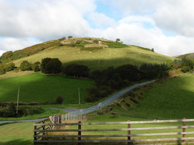
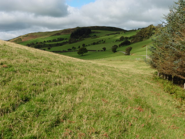
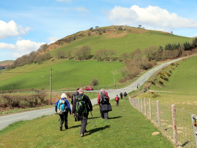
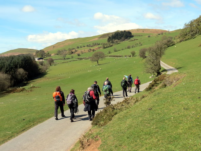
Bryntail Lead Mine, located in Montgomeryshire, Wales, is a significant heritage site that played a crucial role in the lead mining industry during the 19th and early 20th centuries. The mine is situated in the picturesque Cambrian Mountains, near the village of Llangurig.

The lead mining operations at Bryntail began in the mid-1800s, with the extraction of galena, a lead ore rich in silver. The mine quickly flourished, attracting a large workforce and becoming one of the largest lead mines in the region. It operated until the early 1900s when the declining demand for lead and the exhaustion of easily accessible deposits led to its closure.

Today, Bryntail Lead Mine stands as a preserved heritage site, offering visitors a unique glimpse into the industrial past of Montgomeryshire. The site features well-preserved buildings and structures, including the main mine shaft, engine houses, and a winding wheel. The mine's underground workings, though not accessible to the public, still exist beneath the surface.

Visitors to Bryntail Lead Mine can explore the surface remains, taking in the impressive industrial architecture and learning about the mining techniques employed during its operational years. Interpretive panels provide historical context, detailing the challenges faced by miners and the impact of lead mining on the local community.

Bryntail Lead Mine is not only a historical site but also an important habitat for wildlife. The surrounding area is home to a variety of plant species, and the mine's water-filled pits have become havens for waterfowl and other aquatic creatures.

Overall, Bryntail Lead Mine offers a fascinating journey into the past, combining industrial heritage with natural beauty, making it a must-visit location for history enthusiasts and nature lovers alike.

If you have any feedback on the listing, please let us know in the comments section below.

Bryntail Lead Mine Images

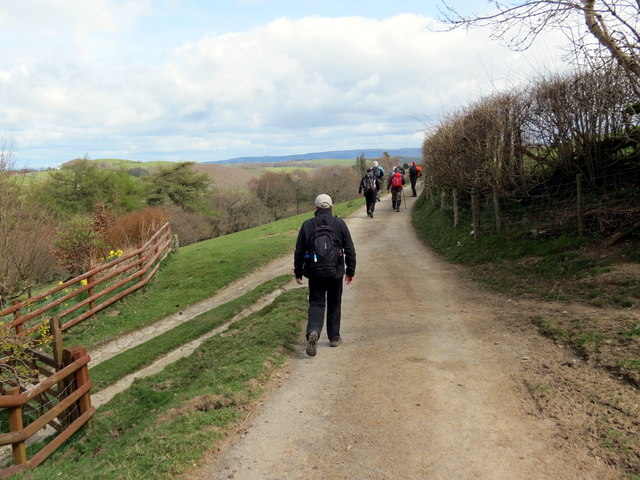
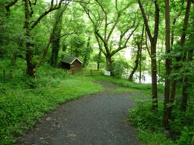
Images are sourced within 2km of 52.4688/-3.6008 or Grid Reference SN9186. Thanks to Geograph Open Source API. All images are credited.

Glyndwr's Way by Llyn Clywedog
Glyndwr's Way by the B4518
Glyndwr's Way near to the B4518 This section of the path has been re-routed to a field parallel to the road.
Glyndwr's Way near to the B4518
This section of the path has been re-routed to a field parallel to the road.
Glyndwr's Way near Bryntail Mine
Glyndwr's Way near Bryntail Mine Another road section for the path.
Glyndwr's Way near Bryntail Mine
Another road section for the path.
Glyndwr's Way by Llyn Clywedog
Ger Bidffald/ Nead Bidffald Cerddwyr yn dilyn Llwybr Glyndwr ar hyd y B4518.

Walkers following Glyndwr's Way along the B4518.
Ger Bidffald/ Nead Bidffald
Cerddwyr yn dilyn Llwybr Glyndwr ar hyd y B4518. Walkers following Glyndwr's Way along the B4518.
Heol Ffarm Bryntail Road Cerddwyr yn dilyn Llwybr Glyndwr ar heol sy'n arwain at Ffarm Bryntail.

Walkers following Glyndwr's Way along the access road to Bryntail Farm (trans. dung hill).
Heol Ffarm Bryntail Road
Cerddwyr yn dilyn Llwybr Glyndwr ar heol sy'n arwain at Ffarm Bryntail. Walkers following Glyndwr's Way along the access road to Bryntail Farm (trans. dung hill).
Bryn Tail Gat fach ar Lwybr Glyndwr uwchlaw Ffarm Bryn Tail.

A small gate on the Glyndwr's Way above Bryntail Farm (trans. dung hill).
Bryn Tail
Gat fach ar Lwybr Glyndwr uwchlaw Ffarm Bryn Tail. A small gate on the Glyndwr's Way above Bryntail Farm (trans. dung hill).
Ger Cron Clywedog / Near Clywedog Dam Cerddwyr yn dringo tyle ger Cron Clywedog.

Walkers ascending a hill near the Clywedog Dam.
Ger Cron Clywedog / Near Clywedog Dam
Cerddwyr yn dringo tyle ger Cron Clywedog. Walkers ascending a hill near the Clywedog Dam.
Clywedog Cerddwyr yn dringo tyle serth. Yn y pellter mae Cronfa Ddwr Clywedog.

Walkers ascending a steep hill. Clywedog Reservoir is the body of water in the distance.
Clywedog
Cerddwyr yn dringo tyle serth. Yn y pellter mae Cronfa Ddwr Clywedog. Walkers ascending a steep hill. Clywedog Reservoir is the body of water in the distance.
Tuag at Gwm Deildre / Towards Cwm Deildre Cerddwyr yn dilyn llwybr ceffyl tuag at Ffarm Cwm Deildre.

Walkers following a bridleway towards Cwm Deildre Farm.
Tuag at Gwm Deildre / Towards Cwm Deildre
Cerddwyr yn dilyn llwybr ceffyl tuag at Ffarm Cwm Deildre. Walkers following a bridleway towards Cwm Deildre Farm.
Lower Tyn y Fron Isaf Cerddwyr yn mynd heibio i'r mynediad i Dyn y Fron Isaf.

Walkers passing the entrance to Lower Tyn y Fron (trans. hillside homestead).
Lower Tyn y Fron Isaf
Cerddwyr yn mynd heibio i'r mynediad i Dyn y Fron Isaf. Walkers passing the entrance to Lower Tyn y Fron (trans. hillside homestead).
Path down to Afon Clywedog and Bryntail Mine Part of Glyndwr's Way.
Path down to Afon Clywedog and Bryntail Mine
Part of Glyndwr's Way.
Afon Clywedog at Bryntail Mine Looking upstream, towards Clywedog Dam.
Afon Clywedog at Bryntail Mine
Looking upstream, towards Clywedog Dam.
Glyndwr's Way passing through Bryntail Mine The mine buildings date from the mid 1800s. The dam was built in the 1960s.
Glyndwr's Way passing through Bryntail Mine
The mine buildings date from the mid 1800s. The dam was built in the 1960s.
Ruined cottage, Bryntail Mine Lead was processed here in the early and mid 1800s, and from 1869 'white lead' or barytes [used in paint]. After struggling for many years the business collapsed in 1884.
Ruined cottage, Bryntail Mine
Lead was processed here in the early and mid 1800s, and from 1869 'white lead' or barytes [used in paint]. After struggling for many years the business collapsed in 1884.
Ruined upper dressing building, Bryntail Mine Lead was processed here in the early and mid 1800s, and from 1869 'white lead' or barytes [used in paint]. After struggling for many years the business collapsed in 1884.
Ruined upper dressing building, Bryntail Mine
Lead was processed here in the early and mid 1800s, and from 1869 'white lead' or barytes [used in paint]. After struggling for many years the business collapsed in 1884.
Show me another place!

Bryntail Lead Mine is located at Grid Ref: SN9186 (Lat: 52.4688, Lng: -3.6008)

Unitary Authority: Powys

Police Authority: Dyfed Powys

What 3 Words

///kinder.sprouts.prepped. Near Llanidloes, Powys

Related Wikis

Bryntail lead mine

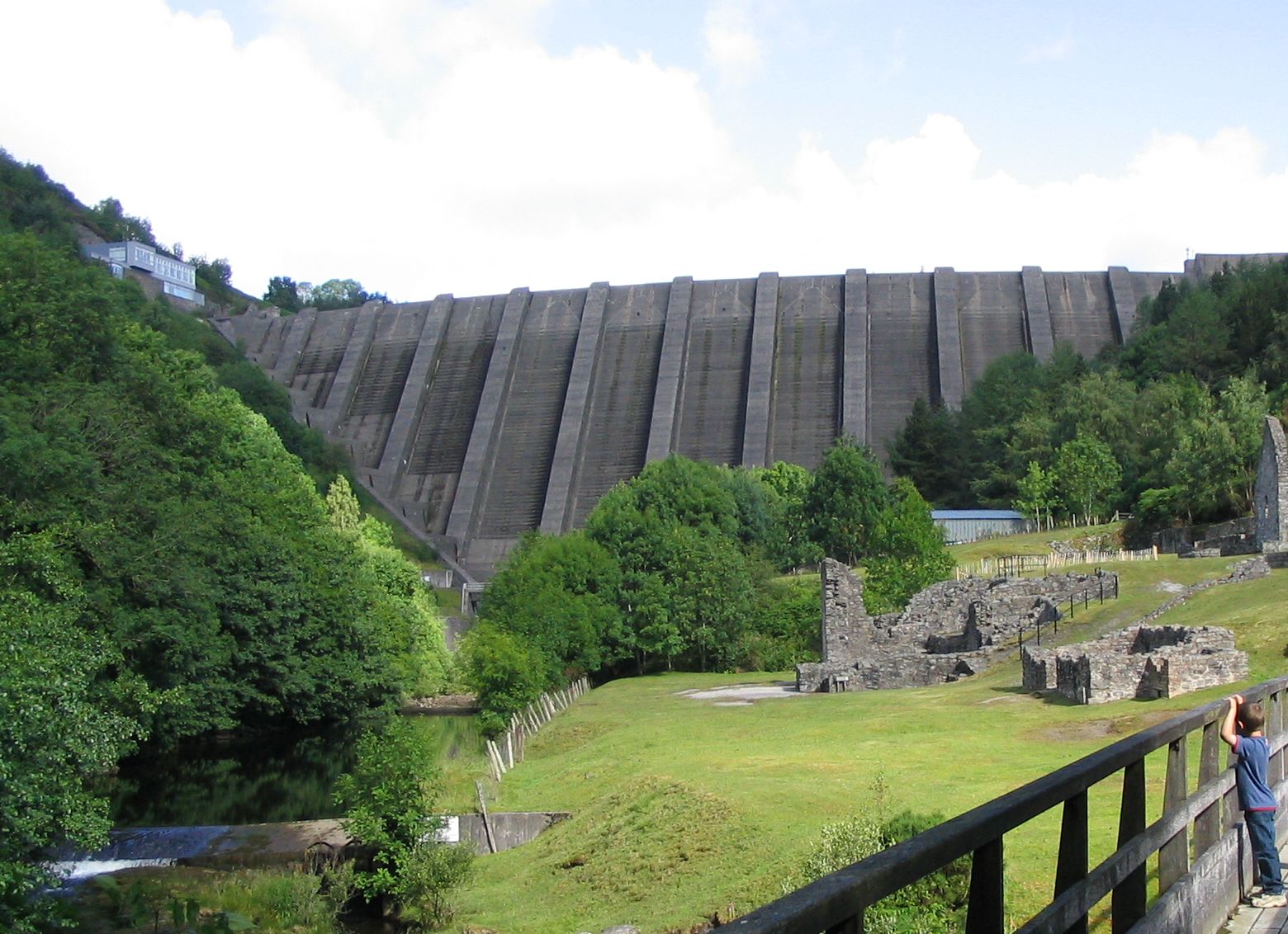
Bryntail lead mine is a disused lead mine near Llanidloes in Powys, Wales. Sited on the Afon Clywedog and in the shadow on the Clywedog reservoir dam,...
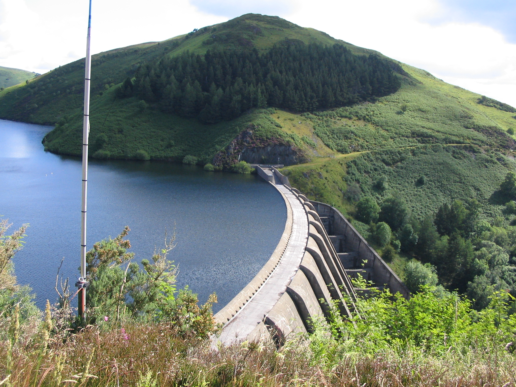
Clywedog Reservoir

The Clywedog Reservoir (Welsh: Llyn Clywedog) is a reservoir near Llanidloes, Wales on the head-waters of the River Severn. The construction of the reservoir...

Garth and Van Road railway station

Garth and Van Road railway station served the village of Garth, in the historical county of Montgomeryshire, Wales, from 1873 to 1940 on the Van Railway...

Van, Llanidloes

Van (Welsh: Y Fan) is a hamlet in Powys, Mid Wales, located to the north west of Llanidloes. Its name, an anglicisation of the local Welsh placename "Fan...

Nearby Amenities

Located within 500m of 52.4688,-3.6008
Barrier: cattle_grid
Lat/Long: 52.4695076/-3.6064166
Barrier: kissing_gate
Source: survey;gps
Lat/Long: 52.4690956/-3.59853
Leisure: picnic_table
Lat/Long: 52.4689075/-3.6045496
Tourism: viewpoint
Lat/Long: 52.4694818/-3.6051156
Parking
Access: yes
Parking: surface
Lat/Long: 52.4677694/-3.6006255
Glyndŵr's Way
Information: board
Tourism: information
Lat/Long: 52.4678478/-3.6006859
Llyn Clywedog
Board Type: history
Information: board
Tourism: information
Lat/Long: 52.4678437/-3.6006363
Water Wheel Pit
Lat/Long: 52.4689136/-3.6007087
Bryntail Lead Mine
Board Type: history
Information: board
Tourism: information
Wikidata: Q4981038
Wikipedia: en:Bryntail lead mine
Lat/Long: 52.4688691/-3.6004814
Description: The concrete buttress dam is the tallest concrete dam in the UK, with a height of 72 metres and a length of 230 metres.
Waterway: dam
Lat/Long: 52.470189/-3.6028848
Toilets
Lat/Long: 52.4685962/-3.6046462
Cafe
Lat/Long: 52.4685051/-3.6046784
The data included in this document is from www.openstreetmap.org. The data is made available under ODbL.

Have you been to Bryntail Lead Mine?

Leave your review of Bryntail Lead Mine below (or comments, questions and feedback).