Bulbourne
Settlement in Buckinghamshire Dacorum
England
Bulbourne
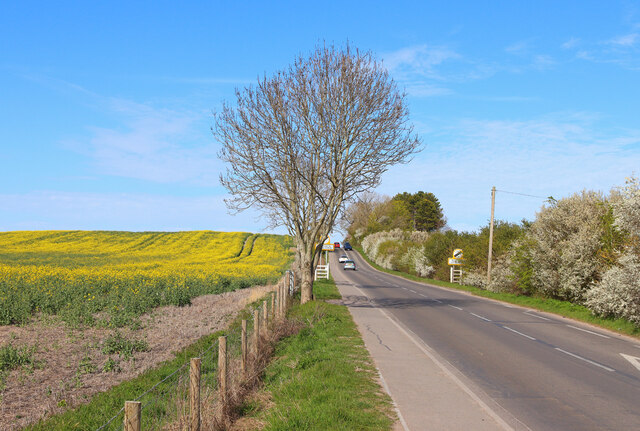
Bulbourne is a small village located in the county of Buckinghamshire, England. Situated near the town of Tring, it lies approximately 2 miles north of the town center. The village is nestled within the picturesque Chiltern Hills, offering residents and visitors beautiful natural surroundings.
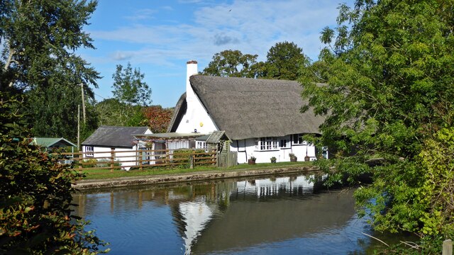
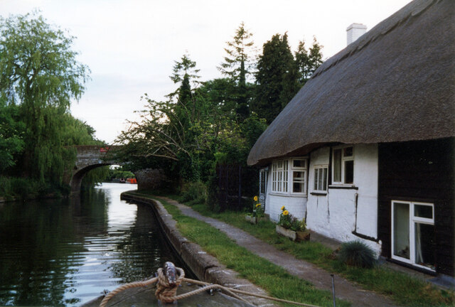
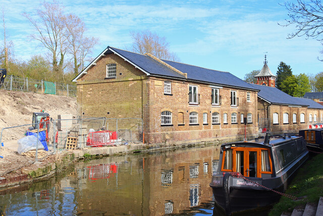
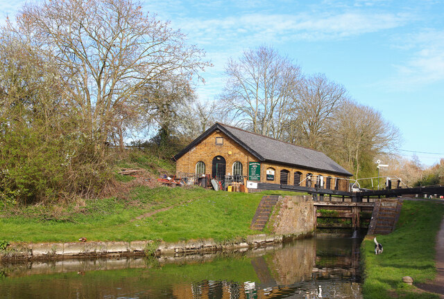
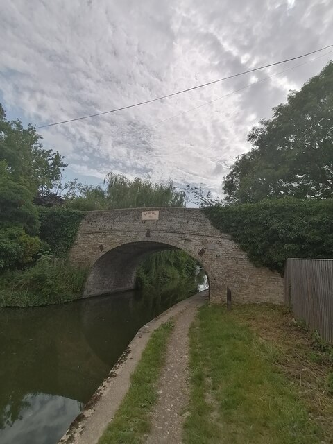
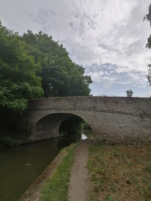
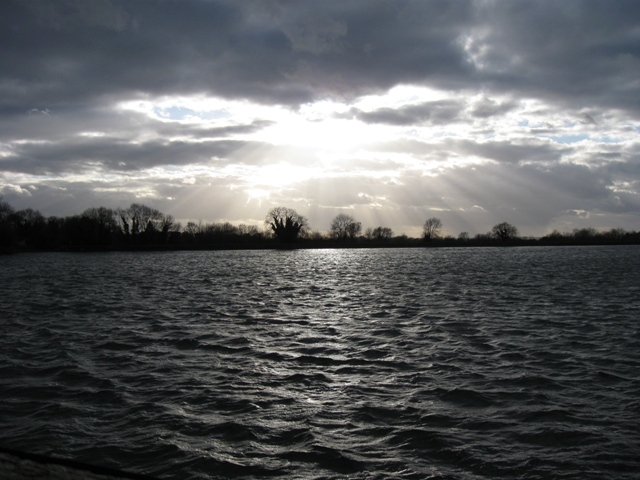
Bulbourne is primarily known for its canal, the Grand Union Canal. The village is home to a marina, which serves as a popular hub for boating enthusiasts. The canal itself attracts many visitors who enjoy walking or cycling along its scenic towpath. The area is rich in wildlife, and it is not uncommon to spot various species of birds, ducks, and even swans along the canal.
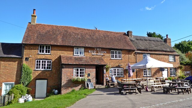
The village also boasts a small but tight-knit community. It is home to a number of residential properties, ranging from quaint cottages to more modern houses. There is a village hall that serves as a central gathering place for residents, hosting a variety of events and activities throughout the year.
Although Bulbourne is a relatively small village, it benefits from its close proximity to Tring, which offers a wider range of amenities such as shops, restaurants, and schools. The village is well-connected, with regular bus services running to nearby towns and cities.
Overall, Bulbourne offers a peaceful and idyllic setting for those seeking a rural lifestyle while still having access to nearby amenities. Its natural beauty, coupled with the sense of community, makes it an appealing place to live or visit.
If you have any feedback on the listing, please let us know in the comments section below.
Bulbourne Images
Images are sourced within 2km of 51.814286/-0.648695 or Grid Reference SP9313. Thanks to Geograph Open Source API. All images are credited.


Bulbourne is located at Grid Ref: SP9313 (Lat: 51.814286, Lng: -0.648695)
Administrative County: Hertfordshire
District: Dacorum
Police Authority: Hertfordshire
What 3 Words
///collect.entry.archduke. Near Pitstone, Buckinghamshire
Nearby Locations
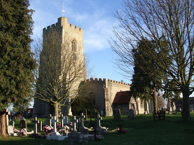
Related Wikis
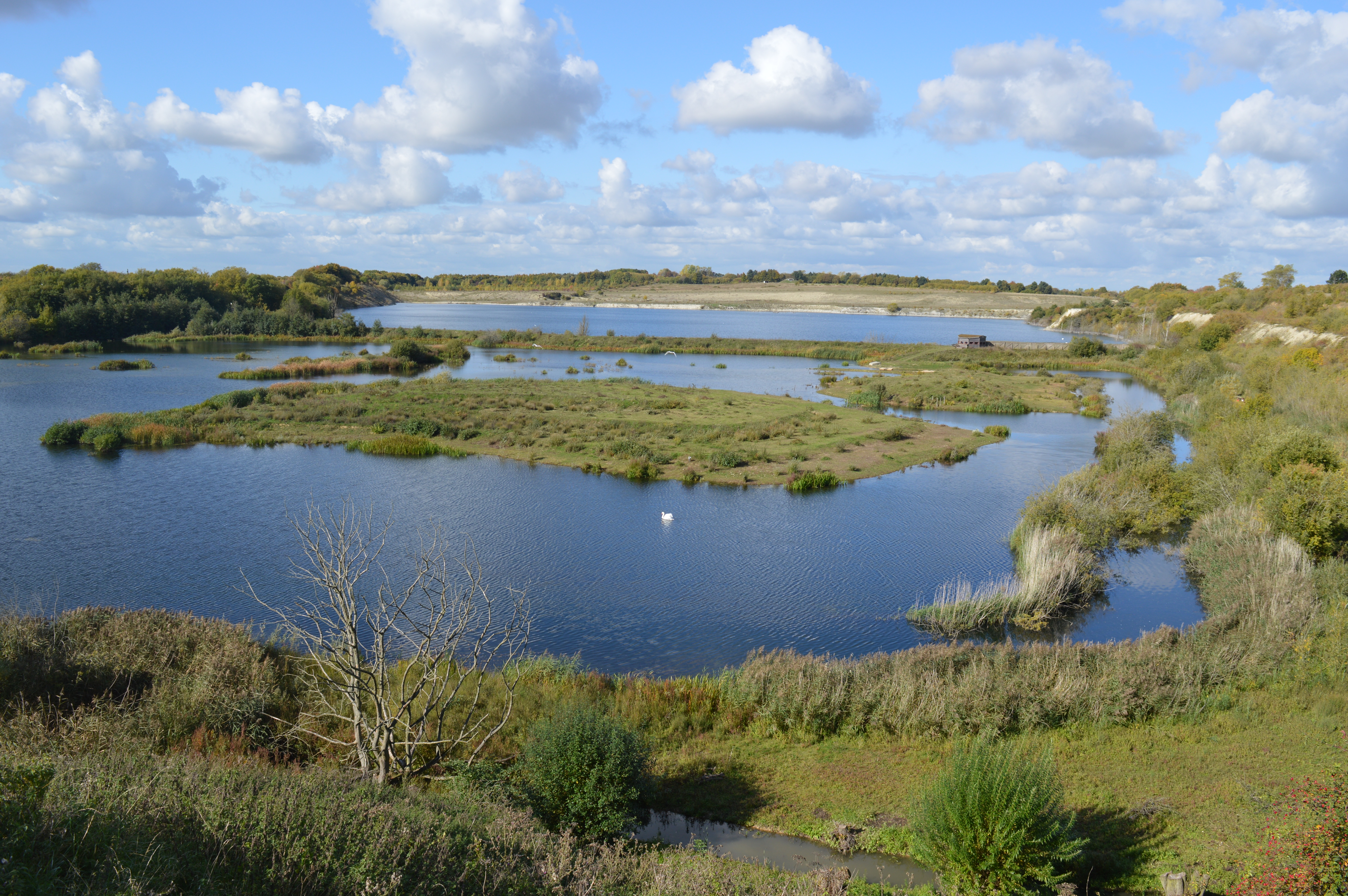
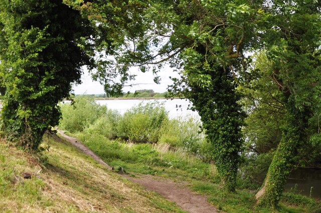
College Lake nature reserve
College Lake is a 65 hectare nature reserve in a former chalk quarry in Pitstone in the Aylesbury Vale district of Buckinghamshire. It is one of the flagship...
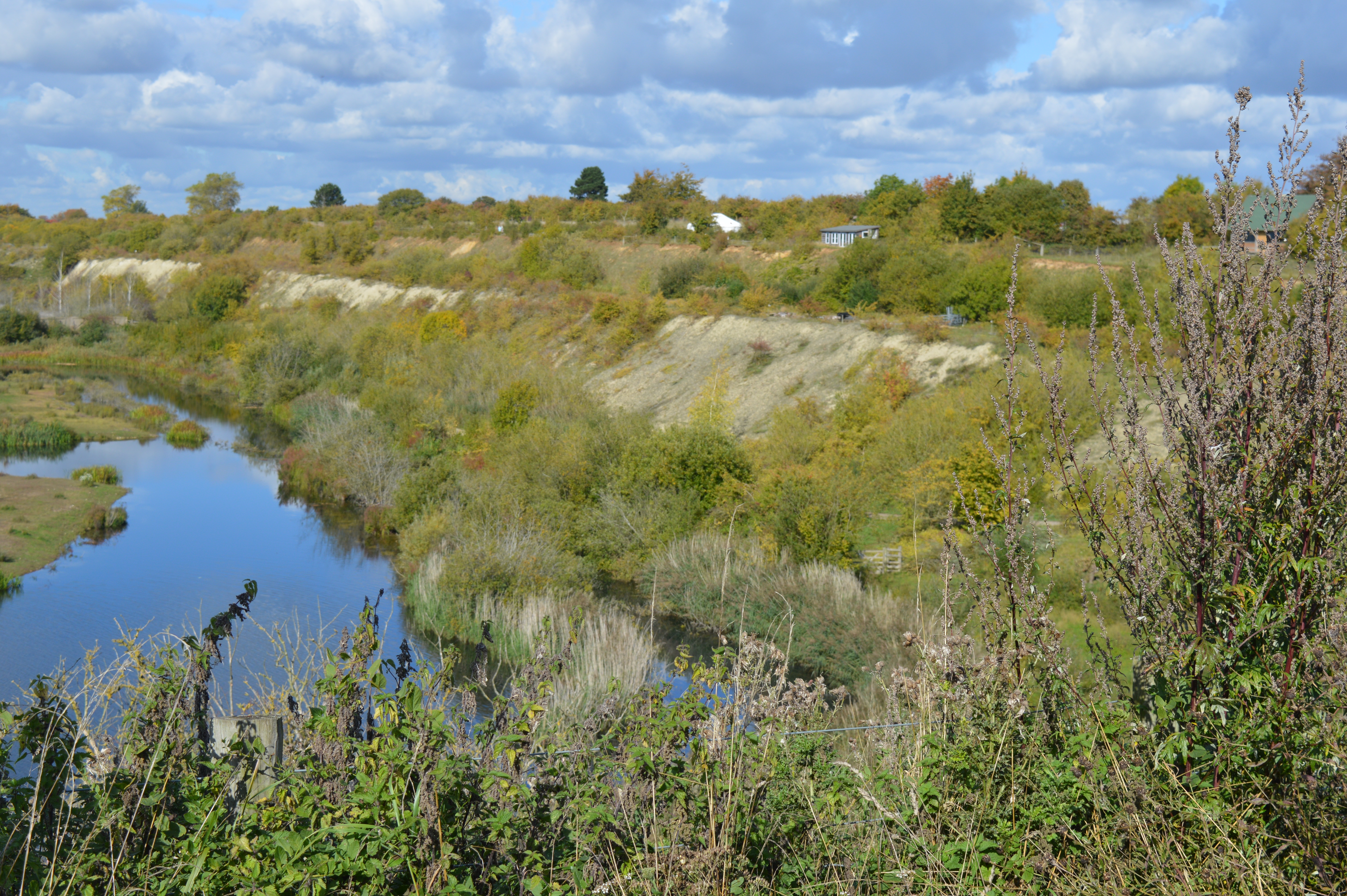
Pitstone Quarry
Pitstone Quarry is a 10.3-hectare (25-acre) geological Site of Special Scientific Interest in Pitstone, Buckinghamshire. It is the area between the lake...
Tring Reservoirs
Tring Reservoirs is a group of four reservoirs close to Tring on the border of Hertfordshire and Buckinghamshire, England. Their purpose is to feed the...
Marsworth
Marsworth is a village and a civil parish within the unitary authority area of Buckinghamshire, England. It is about 2 miles (3.2 km) north of Tring, Hertfordshire...
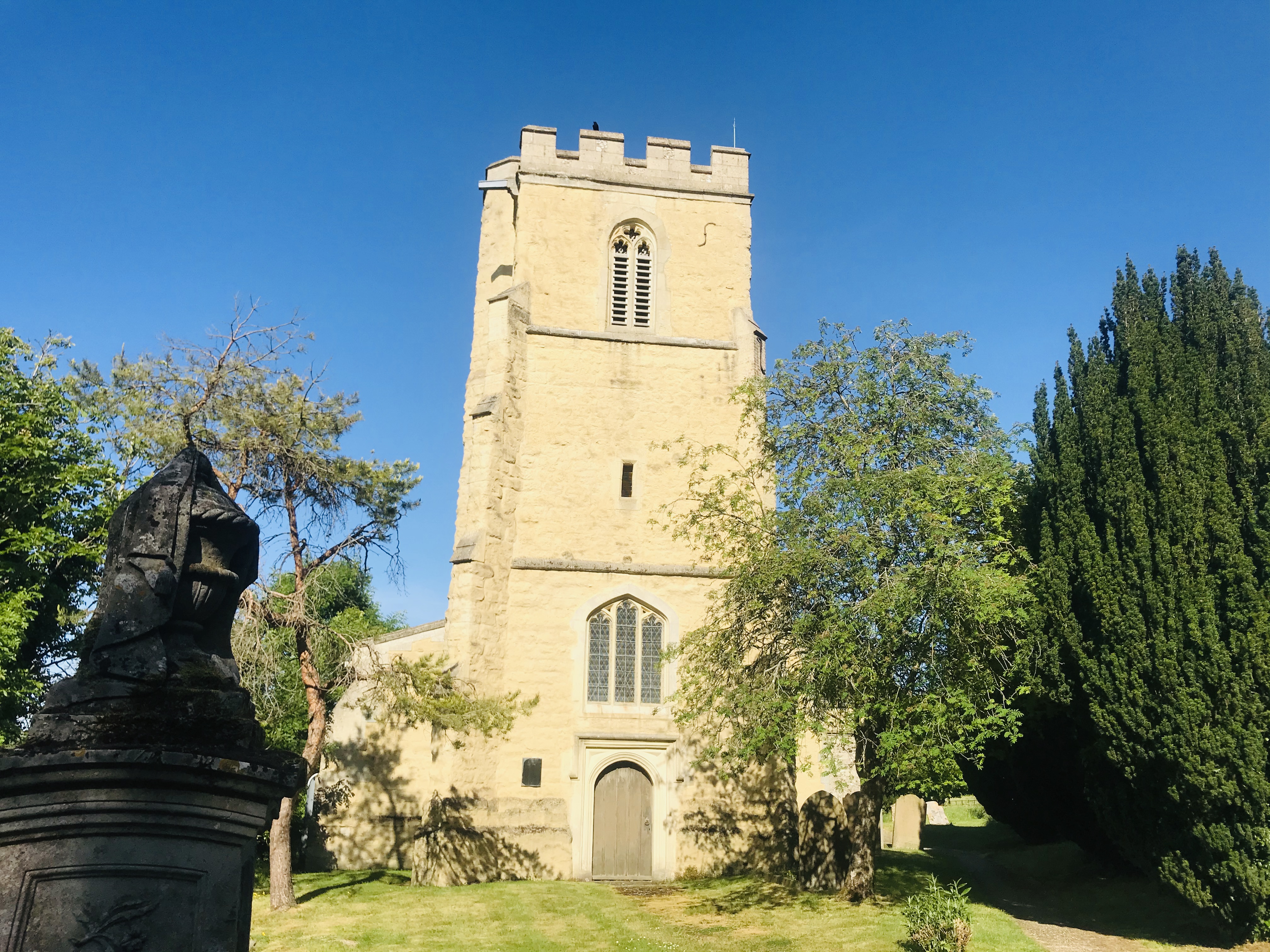
St Mary's Church, Pitstone
St Mary's Church is a redundant Anglican church in the village of Pitstone, Buckinghamshire, England. It is recorded in the National Heritage List for...

Pitstone
Pitstone (formerly Pightelsthorn, with possible variation Pychelesthorn in 1399) is a village and civil parish in east Buckinghamshire, England. It is...

Pitstone & Ivinghoe F.C.
Pitstone & Ivinghoe Football Club are a football club based in Pitstone, near Leighton Buzzard, England. They are members of the Spartan South Midlands...
Tring School
Tring School is a secondary school with academy status, with approximately 1,500 students aged between 11 and 18. It is located on Mortimer Hill on the...
Nearby Amenities
Located within 500m of 51.814286,-0.648695Have you been to Bulbourne?
Leave your review of Bulbourne below (or comments, questions and feedback).