Woolley
Civil Parish in Yorkshire Wakefield
England
Woolley
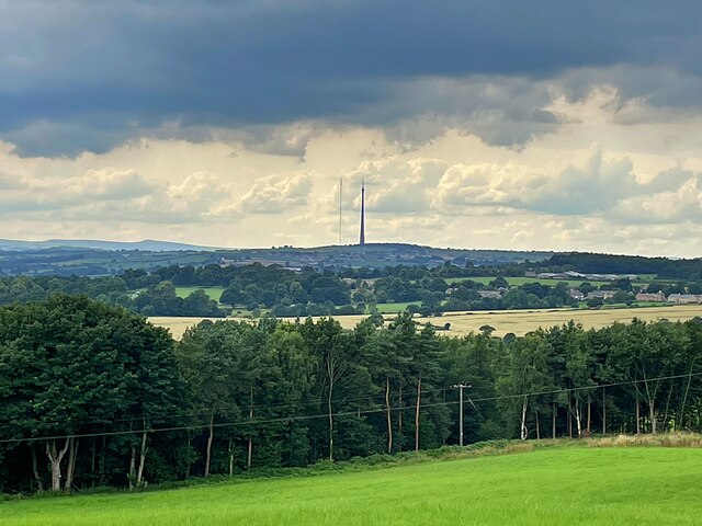
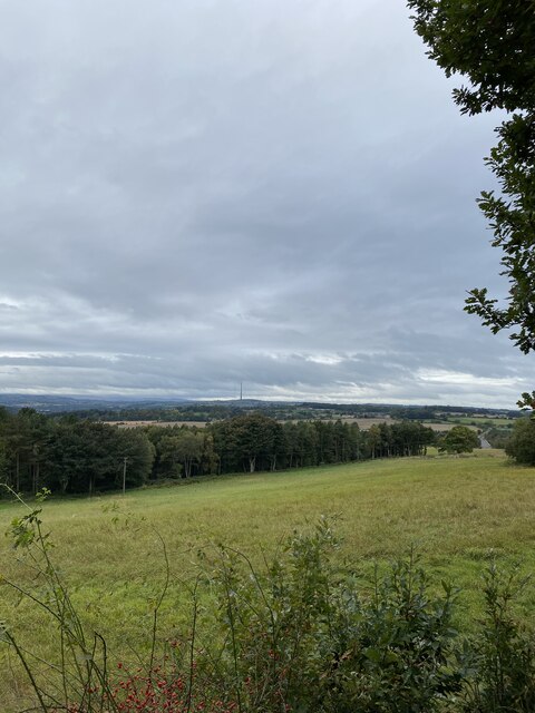
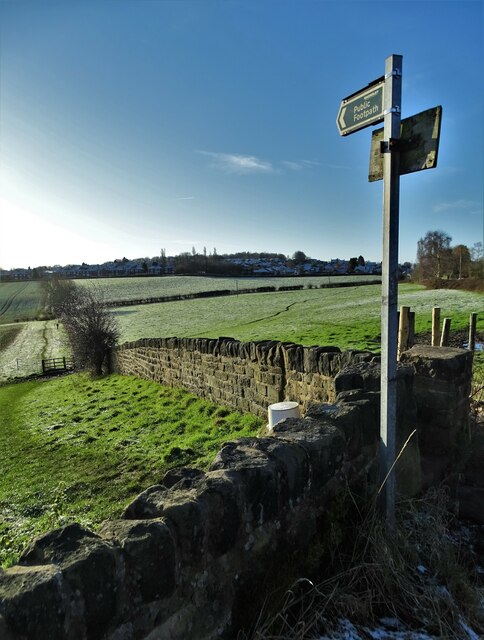
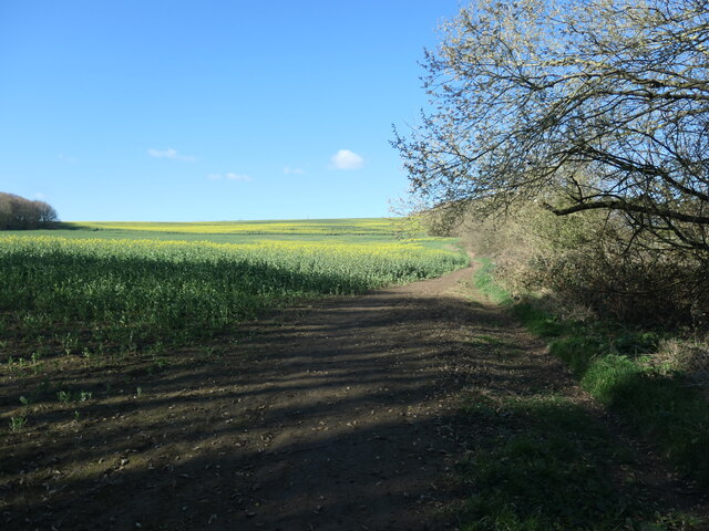
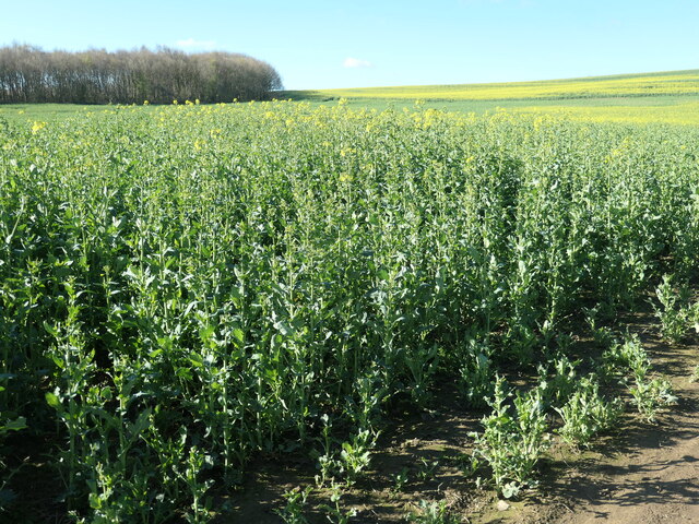
Woolley is a civil parish located in the county of Yorkshire, England. Situated in the Wakefield district, it is a small village that offers a tranquil and picturesque setting for its residents and visitors. The village is surrounded by beautiful countryside, with rolling hills and lush green fields, providing a serene environment.
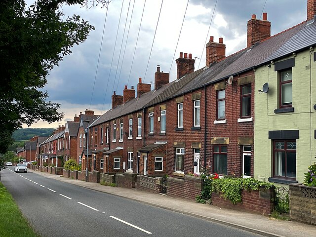
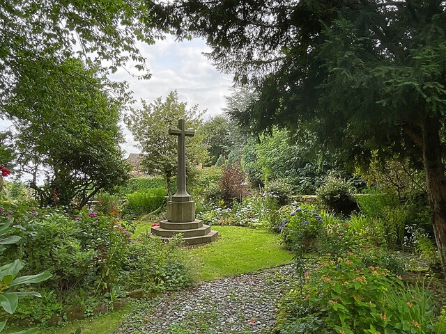
Woolley has a rich history, dating back to medieval times, and this is evident in the architecture found throughout the village. The parish church, dedicated to St. Peter, is a prominent feature and serves as a reminder of the area's past. Other historical buildings can also be found within the village, including traditional stone cottages and farmhouses.
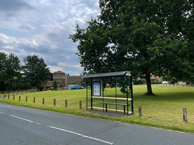
Despite its small size, Woolley offers a range of amenities and facilities for its residents. These include a primary school, a village hall, and a local pub, where residents can gather and socialize. The village is well-connected to nearby towns and cities, with good road links making it easily accessible.
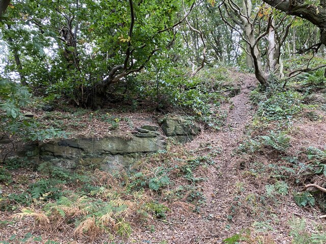
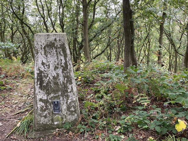
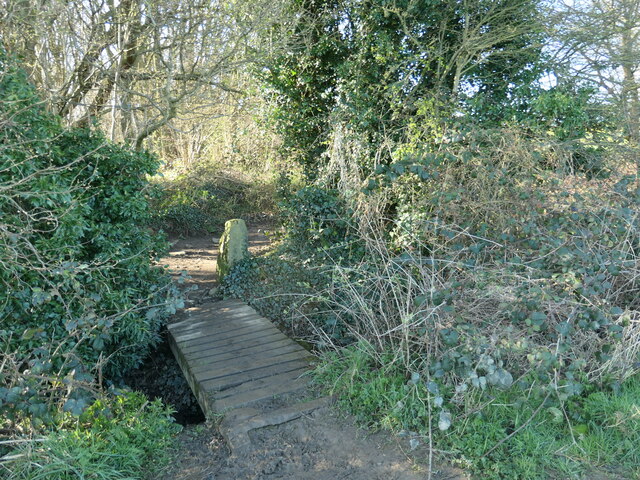
The natural surroundings of Woolley make it an attractive destination for outdoor enthusiasts. The nearby countryside offers opportunities for walking, cycling, and exploring the local flora and fauna. Additionally, the village is in close proximity to the Yorkshire Sculpture Park, a renowned open-air gallery that showcases contemporary art in a stunning landscape.
Overall, Woolley provides a charming and peaceful setting for those seeking a rural lifestyle, while still being within reach of larger towns and cities. Whether it is exploring the historical landmarks or enjoying the natural beauty of the surrounding area, Woolley has something to offer for everyone.
If you have any feedback on the listing, please let us know in the comments section below.
Woolley Images
Images are sourced within 2km of 53.610825/-1.523423 or Grid Reference SE3112. Thanks to Geograph Open Source API. All images are credited.


Woolley is located at Grid Ref: SE3112 (Lat: 53.610825, Lng: -1.523423)
Division: West Riding
Administrative County: West Yorkshire
District: Wakefield
Police Authority: West Yorkshire
What 3 Words
///accented.factually.ferrying. Near Woolley, West Yorkshire
Related Wikis

Woolley, West Yorkshire
Woolley is a village and civil parish in the City of Wakefield in West Yorkshire, England. It had a population of 575 in 2001, which increased to 1,339...
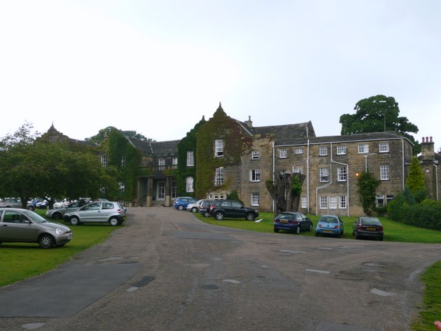
Woolley Hall
Woolley Hall is a country house in Woolley, West Yorkshire, England. It is a Grade II* listed building. == Overview == In the mid-fourteenth century, the...

Woolley Colliery
Woolley Colliery is a village on the border between the Barnsley and Wakefield districts in Yorkshire, England. The village is now in South Yorkshire,...

Haigh railway station
Haigh railway station served the village of Haigh, West Yorkshire, England from 1850 to 1965 on the Hallam Line. == History == The station opened on 1...
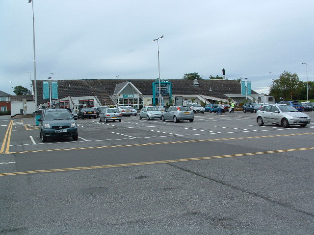
Woolley Edge services
Woolley Edge services is a motorway service station on the M1 motorway within the borough of the City of Wakefield, West Yorkshire, England. It lies between...

Haigh, West Yorkshire
Haigh is a hamlet, straddling the counties of South and West Yorkshire in England. It is split between the Barnsley and Wakefield districts. Historically...
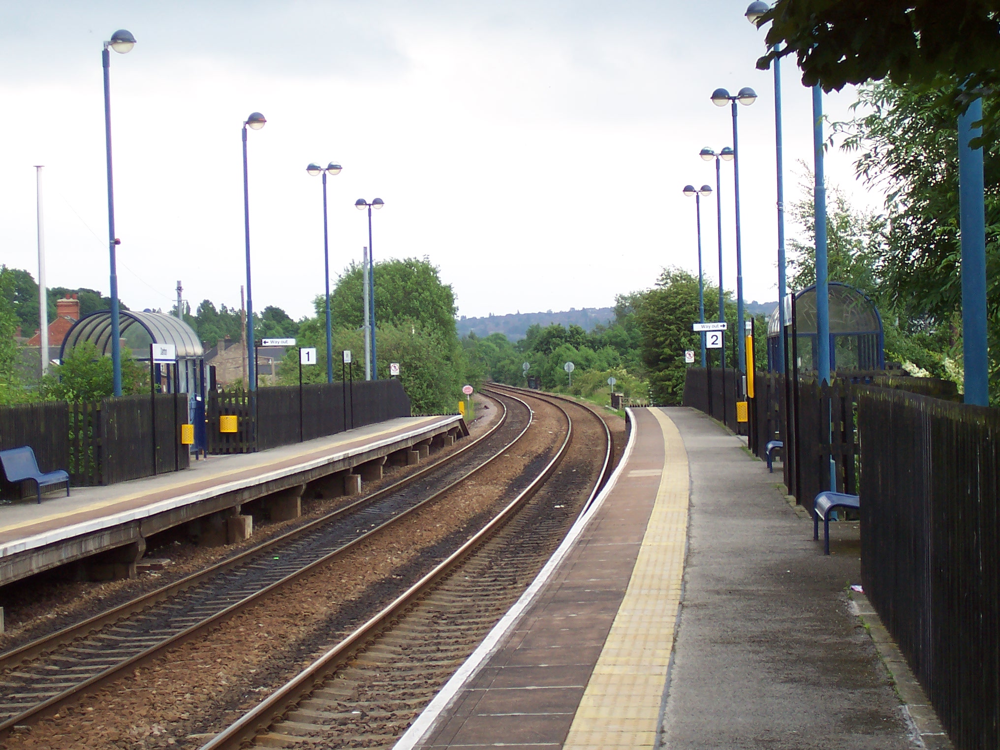
Darton railway station
Darton railway station is a railway station in a large village of Darton, in the Metropolitan Borough of Barnsley, South Yorkshire, England. Train services...

St Bartholomew's Chapel, West Bretton
St Bartholomew's Chapel is a former estate church in the grounds of Bretton Hall, in West Bretton near Wakefield in West Yorkshire, England. The redundant...
Nearby Amenities
Located within 500m of 53.610825,-1.523423Have you been to Woolley?
Leave your review of Woolley below (or comments, questions and feedback).