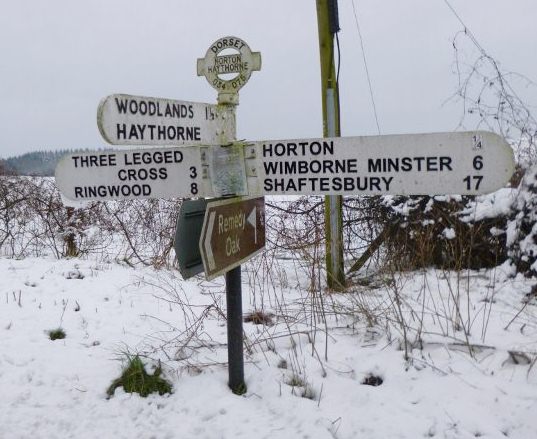
Woodlands
Civil Parish in Dorset East Dorset
England
Woodlands

Woodlands is a civil parish located in the county of Dorset, England. Situated in the southeastern part of the county, it covers an area of approximately 13 square kilometers. The parish is part of the Purbeck local government district and lies within the East Dorset parliamentary constituency.
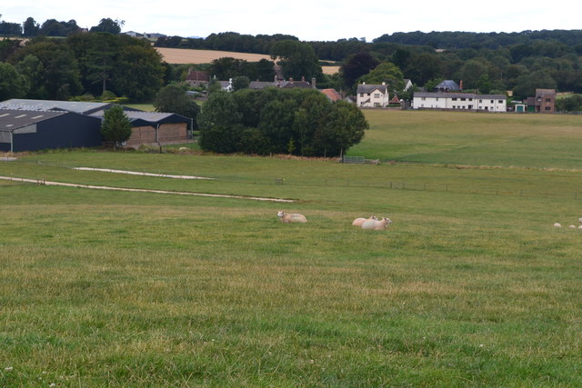
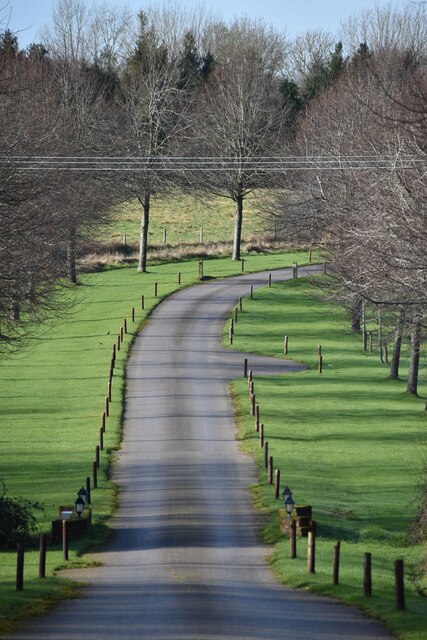
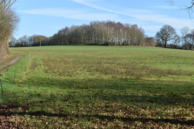
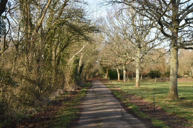
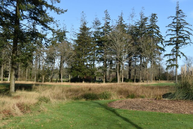
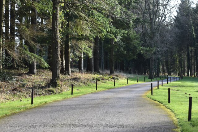
Woodlands is a predominantly rural area with a population of around 500 residents. The parish is characterized by its picturesque countryside, rolling hills, and charming villages. It is surrounded by beautiful natural landscapes, including woodlands and farmlands, making it an ideal destination for nature enthusiasts and hikers.
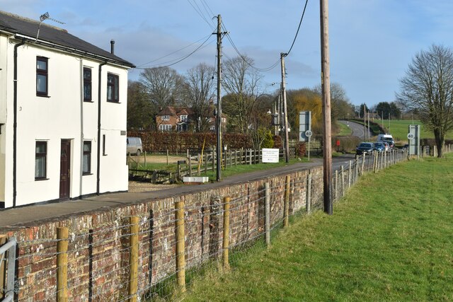
The village of Woodlands itself is the main settlement within the parish. It is a small, close-knit community with a handful of amenities such as a local pub, a primary school, and a village hall. The residents of Woodlands take great pride in their community and actively participate in various local events and initiatives.
The area is also known for its rich history and heritage. There are several historical sites and landmarks in and around Woodlands, including ancient churches, manor houses, and remnants of old settlements. These attractions provide a glimpse into the region's past and attract visitors interested in history and architecture.
Overall, Woodlands, Dorset, offers a peaceful and idyllic countryside setting for residents and visitors alike. With its natural beauty, community spirit, and historical significance, it remains a hidden gem in the heart of Dorset.
If you have any feedback on the listing, please let us know in the comments section below.
Woodlands Images
Images are sourced within 2km of 50.878133/-1.943739 or Grid Reference SU0408. Thanks to Geograph Open Source API. All images are credited.


Woodlands is located at Grid Ref: SU0408 (Lat: 50.878133, Lng: -1.943739)
Administrative County: Dorset
District: East Dorset
Police Authority: Dorset
What 3 Words
///trouble.described.weeds. Near Verwood, Dorset
Nearby Locations
Related Wikis

Woodlands, Dorset
Woodlands is a village and civil parish in the East Dorset district of Dorset, South-West England. It is five miles (8 km) north of Wimborne Minster. The...

Horton, Dorset
Horton is a village in East Dorset, England, situated on the boundary between the chalk downland of Cranborne Chase and the Dorset Heaths, and ten miles...

Horton Priory
Horton Priory was a priory at Horton in Dorset, England. It was founded as a Benedictine abbey around 970 by Ordgar, Earl of Devon, or his son, Ordulph...

Knowlton Circles
Knowlton Circles (also known as Knowlton Henges or Knowlton Rings) are a complex of henges and earthworks in Knowlton, Dorset, England. The henge enclosing...

Knowlton, Dorset
Knowlton is a hamlet in the civil parish of Woodlands, Dorset, England. It is about 6 miles north of town Wimborne Minster, and about 1 mile south of the...
Horton Heath, Dorset
Horton Heath is a small village in Dorset, England situated one mile from Three Legged Cross and two miles from Horton. It consists of a main road, with...

All Saints' Church, Chalbury
All Saints' Church is a Church of England church in Chalbury, Dorset, England. It has 13th-century origins, with later alterations and additions, and many...
Chalbury
Chalbury is a village in the English county of Dorset. It lies on the southern edge of Cranborne Chase within the East Dorset administrative district of...
Nearby Amenities
Located within 500m of 50.878133,-1.943739Have you been to Woodlands?
Leave your review of Woodlands below (or comments, questions and feedback).