Bughtlin

Settlement in Midlothian

Scotland

Bughtlin

Electric gate country, Barnton Barnton is one of Edinburgh's most expensive housing areas. Big houses hidden behind gates set amongst golf courses.
Electric gate country, Barnton Credit: Richard Webb

Bughtlin is a small residential area located in Midlothian, Scotland. Situated approximately 6 miles southwest of Edinburgh's city center, it falls within the Edinburgh and Lothians region. Bughtlin is part of the larger community of East Craigs and lies adjacent to the districts of South Gyle, Corstorphine, and Clermiston.

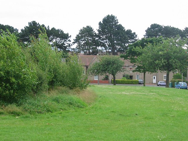
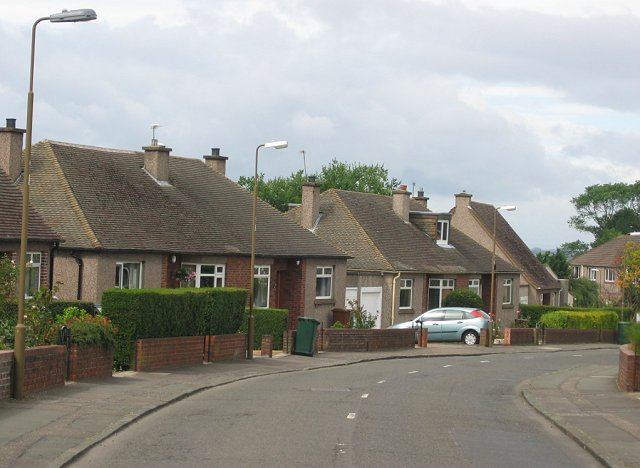
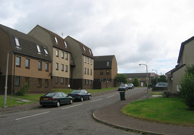
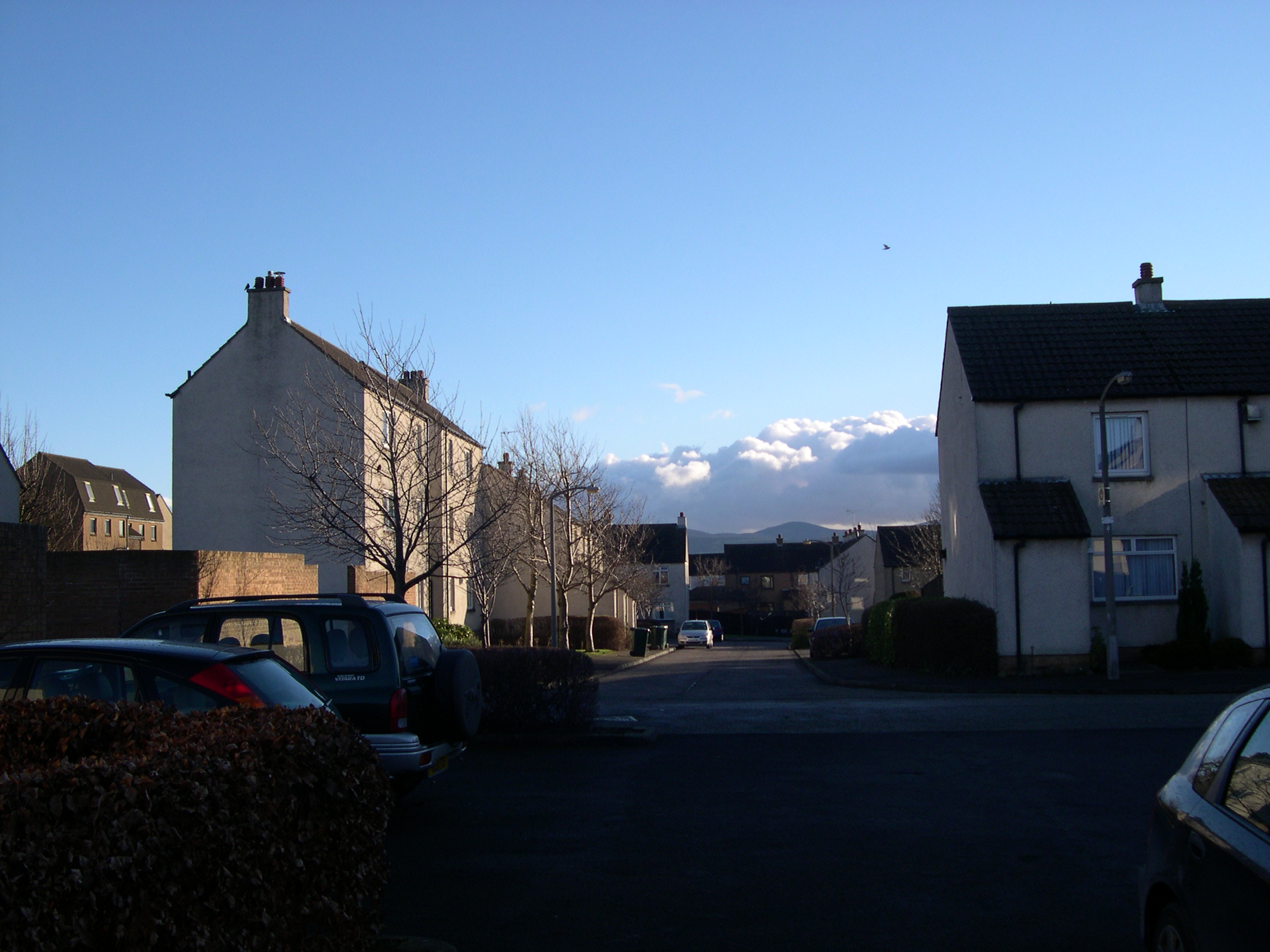
The area primarily consists of well-established residential properties, including detached and semi-detached houses, as well as some modern apartment complexes. Bughtlin offers residents a peaceful and family-friendly environment, characterized by tree-lined streets and green spaces.

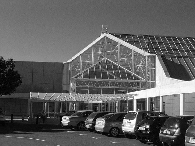
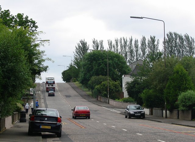
In terms of amenities, Bughtlin benefits from its proximity to nearby commercial areas, such as the Gyle Shopping Centre, which provides a wide array of retail stores, restaurants, and entertainment options. The area is also well-served by public transport, with numerous bus routes connecting Bughtlin to Edinburgh city center and other surrounding areas.

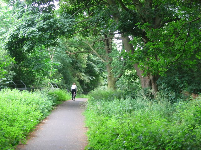
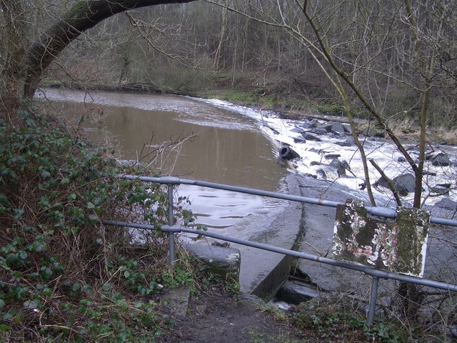
For outdoor enthusiasts, Bughtlin is conveniently located near several parks and green spaces, such as Cammo Estate and Corstorphine Hill. These areas offer opportunities for leisurely walks, picnics, and enjoying nature.

The local community in Bughtlin is known for being friendly and tight-knit, with various social and recreational activities organized throughout the year. There are also several schools in the vicinity, providing educational options for families with children.

Overall, Bughtlin offers a peaceful residential setting with easy access to amenities and transport links, making it an attractive place to live for those seeking a suburban lifestyle within close proximity to the capital city.

If you have any feedback on the listing, please let us know in the comments section below.
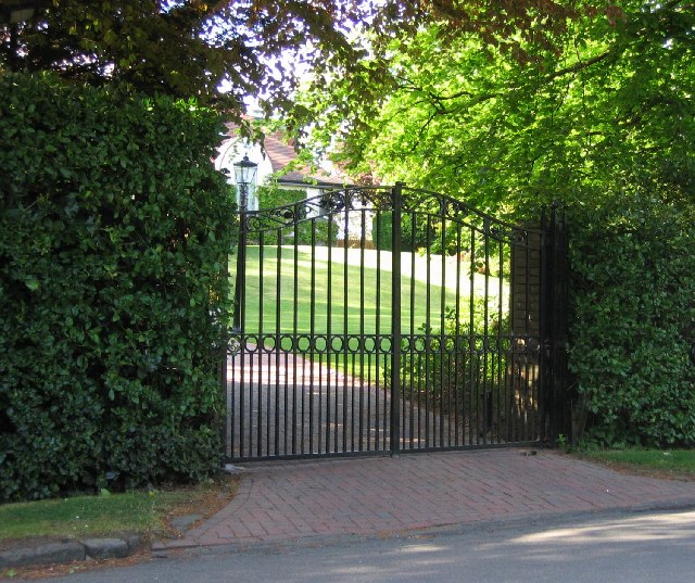
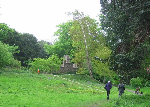
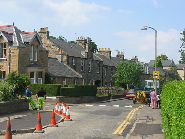
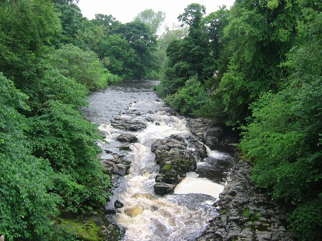
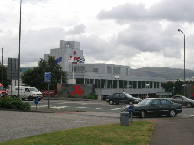
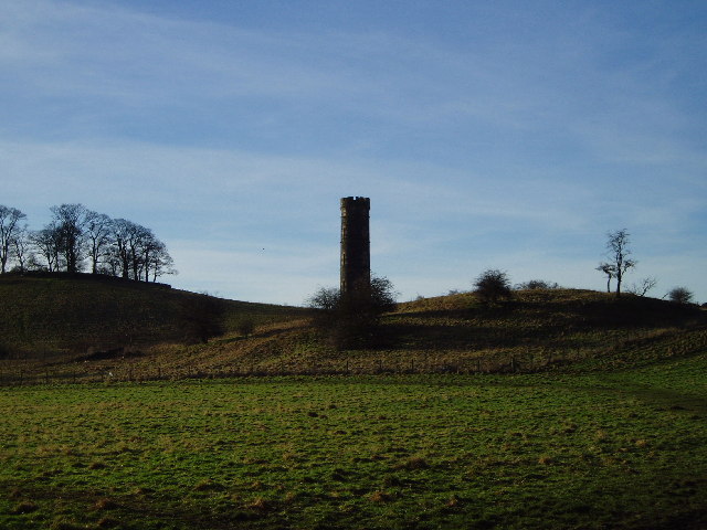
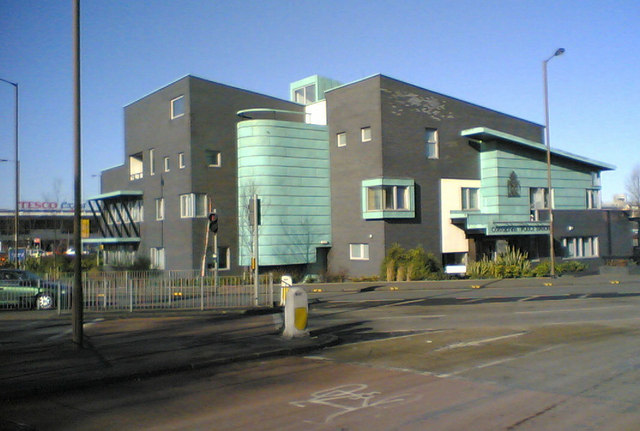
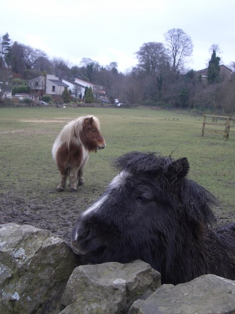
Bughtlin Images

Images are sourced within 2km of 55.952307/-3.306674 or Grid Reference NT1874. Thanks to Geograph Open Source API. All images are credited.

Electric gate country, Barnton Barnton is one of Edinburgh's most expensive housing areas. Big houses hidden behind gates set amongst golf courses.
Electric gate country, Barnton
Barnton is one of Edinburgh's most expensive housing areas. Big houses hidden behind gates set amongst golf courses.
Cammo Once a big house, it is now a ruin, the grounds reverting to wild woodland with some fine specimen trees. The estate is managed as a park by the city council.
Cammo
Once a big house, it is now a ruin, the grounds reverting to wild woodland with some fine specimen trees. The estate is managed as a park by the city council.
Building speed humps, Corstorphine. Edinburgh is home to a lot of speed humps, and they are multiplying. While proven effective in lowering speeds in residential areas, they are a pain when out on the bike. Some studies suggest that road humps are the only effective way of enforcing a 20mph/30kph speed limit.  Residential area just off the busy main shopping street of Corstorphine.
Building speed humps, Corstorphine.
Edinburgh is home to a lot of speed humps, and they are multiplying. While proven effective in lowering speeds in residential areas, they are a pain when out on the bike. Some studies suggest that road humps are the only effective way of enforcing a 20mph/30kph speed limit. Residential area just off the busy main shopping street of Corstorphine.
River Almond Rapids seen from Grotto Bridge. The exciting nature of the Almond is well hidden in a wooded gorge.
River Almond
Rapids seen from Grotto Bridge. The exciting nature of the Almond is well hidden in a wooded gorge.
South Gyle Shopping Centre. 1980's mall.
South Gyle Shopping Centre.
1980's mall.
Cycle path, Barnton. Path between two well defended golf courses, now part of NCN1 up the east coast of Great Britain.  A useful way in and out of Edinburgh from the north and west.
The Barnton area contains many old trees especially oaks and this path runs through them. It also links two very expensive housing areas.
Cycle path, Barnton.
Path between two well defended golf courses, now part of NCN1 up the east coast of Great Britain. A useful way in and out of Edinburgh from the north and west. The Barnton area contains many old trees especially oaks and this path runs through them. It also links two very expensive housing areas.
Drum Brae. Small but notorious hill in the suburbs of West Edinburgh. A busy road, it's fine most of the time; it's a tricky thing in ice or snow.
Drum Brae.
Small but notorious hill in the suburbs of West Edinburgh. A busy road, it's fine most of the time; it's a tricky thing in ice or snow.
Clermiston Large 20th century housing area on the west side of Corstorphine Hill.  The once vare open area in the middle of the estate has been broken up by some tree planting.
Clermiston
Large 20th century housing area on the west side of Corstorphine Hill. The once vare open area in the middle of the estate has been broken up by some tree planting.
Bungaloid Corstorphine. This is the dominant house type in this almost entirely residential square. Sloping ground above Corstorphine.
Bungaloid Corstorphine.
This is the dominant house type in this almost entirely residential square. Sloping ground above Corstorphine.
East Craigs Large 1970's westward expansion of Edinburgh.
East Craigs
Large 1970's westward expansion of Edinburgh.
Meadowfield Old farm buildings in a field of spring sown wheat. A thin strip of farmland, Edinburgh is expanding westward and there is pressure to expand the airport. If the city bypass is ever completed, it will run through this area.
Meadowfield
Old farm buildings in a field of spring sown wheat. A thin strip of farmland, Edinburgh is expanding westward and there is pressure to expand the airport. If the city bypass is ever completed, it will run through this area.
The Maybury Once a dance hall, often empty, now a casino. A landmark building by a very busy road junction.

This is a well known landmark in the city, once an edge of town roadhouse.
The Maybury
Once a dance hall, often empty, now a casino. A landmark building by a very busy road junction. This is a well known landmark in the city, once an edge of town roadhouse.
Western approaches to Edinburgh Busy junction on the A8 entering Edinburgh from the west. There has been a lot of recent development here; it's a mass of tin shed shopping as well as hotels and some residential areas.
Western approaches to Edinburgh
Busy junction on the A8 entering Edinburgh from the west. There has been a lot of recent development here; it's a mass of tin shed shopping as well as hotels and some residential areas.
Cammo Tower This tower which can be easily seen from the Maybury Road was a water tower for Cammo House. A wind driven pump would fill a cistern near the top and gravity would provide the mansion with water.
Cammo Tower
This tower which can be easily seen from the Maybury Road was a water tower for Cammo House. A wind driven pump would fill a cistern near the top and gravity would provide the mansion with water.
Corstorphine Police Station Maybe it's supposed to look horrible and imposing.  Good grief, they've done a good job.  The whole lot looks a little hastily constructed. The materials don't look like they are all from the same batch. The green facings appear to be rusting in parts.  Heck, it's only been up a couple of years.  Not a pretty building at all but I dare say it wasn't designed with a prize in mind.  Aerial - <span class="nowrap"><a title="http://maps.google.co.uk/?t=h&ll=55.93965,-3.2935&spn=0.002788,0.007124&t=h" rel="nofollow ugc noopener" href="http://maps.google.co.uk/?t=h&ll=55.93965,-3.2935&spn=0.002788,0.007124&t=h">Link</a><img style="margin-left:2px;" alt="External link" title="External link - shift click to open in new window" src="https://s1.geograph.org.uk/img/external.png" width="10" height="10"/></span>
Corstorphine Police Station
Maybe it's supposed to look horrible and imposing. Good grief, they've done a good job. The whole lot looks a little hastily constructed. The materials don't look like they are all from the same batch. The green facings appear to be rusting in parts. Heck, it's only been up a couple of years. Not a pretty building at all but I dare say it wasn't designed with a prize in mind. Aerial - LinkExternal link
Shelties The field is in the square, the pony's nose is somewhere near the edge.
Shelties
The field is in the square, the pony's nose is somewhere near the edge.
Dowies Mill weir
Dowies Mill weir
O, Come All Ye Faithful... Joyful and triumphant, o come ye, o come ye, to the South Gyle shopping mall on the outskirts of Edinburgh.
O, Come All Ye Faithful...
Joyful and triumphant, o come ye, o come ye, to the South Gyle shopping mall on the outskirts of Edinburgh.
Show me another place!

Bughtlin is located at Grid Ref: NT1874 (Lat: 55.952307, Lng: -3.306674)

Unitary Authority: City of Edinburgh

Police Authority: Edinburgh

What 3 Words

///loved.frame.stacks. Near Ratho Station, Edinburgh

Nearby Locations

Cammo Bughtlin

Related Wikis

Bughtlin

Bughtlin is a suburb of Edinburgh, the capital of Scotland. It is east of the A902. The area is near Maybury, Cammo, East Craigs and Barnton. Most of the...

East Craigs

East Craigs is a residential district of Edinburgh located in the north-west of the city, on the western flanks of Corstorphine Hill. It lies next to the...

Craigievar Estate

Craigievar Estate is a modern housing estate situated in the suburb of East Craigs to the west of Edinburgh, Scotland. The name comes from Craigievar Castle...

Craigmount High School

Craigmount High School is a non-denominational secondary school in Edinburgh, Scotland with 1,269 pupils located in the west of Edinburgh, Scotland. It...

Nearby Amenities

Located within 500m of 55.952307,-3.306674
Traffic Calming: hump
Lat/Long: 55.9506776/-3.3002865
Traffic Calming: hump
Lat/Long: 55.9500198/-3.3002503
Traffic Calming: hump
Lat/Long: 55.953399/-3.2993319
Traffic Calming: hump
Lat/Long: 55.9530781/-3.3003284
Traffic Calming: hump
Lat/Long: 55.9525967/-3.3013303
Crossing
Crossing: traffic_signals
Crossing Ref: pelican
Kerb: flush
Tactile Paving: yes
Lat/Long: 55.9492859/-3.311348
Crossing
Crossing: traffic_signals
Crossing Ref: pelican
Kerb: flush
Tactile Paving: yes
Lat/Long: 55.9491831/-3.3113499
Give Way
Lat/Long: 55.9528304/-3.3056133
Give Way
Lat/Long: 55.9530397/-3.3054425
Give Way
Lat/Long: 55.9543511/-3.3070194
Give Way
Lat/Long: 55.9537982/-3.3062
Give Way
Lat/Long: 55.9527608/-3.3050058
Traffic Calming: hump
Lat/Long: 55.9493485/-3.3032767
Traffic Calming: hump
Lat/Long: 55.9500657/-3.3035699
Give Way
Lat/Long: 55.9485989/-3.3030371
Bughtlin
Is In: Edinburgh, Scotland, UK
Place: neighbourhood
Wikidata: Q4986189
Wikipedia: en:Bughtlin
Lat/Long: 55.9496408/-3.3061947
Give Way
Lat/Long: 55.9520607/-3.3062491
Give Way
Lat/Long: 55.9522376/-3.3080175
Doctors
East Craigs Medical Centre
Addr City: Edinburgh
Addr Housenumber: 10
Addr Postcode: EH12 8XP
Addr Street: Bughtlin Market
Healthcare: centre
Website: http://www.eastcraigsgp.org.uk
Lat/Long: 55.9506811/-3.3037025
Dentist
East Craigs Dental Practice
Addr City: Edinburgh
Addr Housenumber: 9
Addr Postcode: EH12 8XP
Addr Street: Bughtlin Market
Brand: Scottish Dental Care
Healthcare: dentist
Website: https://scottishdentalcare.co.uk//clinics/east-craigs-dental-clinic/
Lat/Long: 55.9508088/-3.3037713
Telephone
Booth: KX100
Covered: booth
Lat/Long: 55.9522127/-3.303572
Give Way
Lat/Long: 55.9536925/-3.2992282
Give Way
Lat/Long: 55.9492769/-3.3095643
Give Way
Lat/Long: 55.9492981/-3.3092249
Give Way
Lat/Long: 55.9510413/-3.3076529
Bus Stop
East Craigs Centre
Bench: yes
Bin: yes
Bus: yes
Lit: no
Naptan AdministrativeAreaCode: 124
Naptan Area Name: Edinburgh
Naptan AtcoAreaCode: 620
Naptan AtcoCode: 6200202510
Naptan Bearing: NW
Naptan CommonName: East Craigs Centre
Naptan Indicator: Stop 3
Naptan Landmark: East Craigs Terminus
Naptan LocalityName: East Craigs
Naptan NaptanCode: 36232453
Naptan NptgLocalityCode: N0078330
Naptan PlusbusZoneRef: EDINBUR
Naptan SourceLocalityType: Add
Naptan StopAreaCode: 620G202505
Naptan StopAreaType: GCLS
Naptan StopArea Name: EAST CRAIGS Terminus
Naptan Street: Maybury Drive
Naptan Verified: yes
Public Transport: platform
Shelter: yes
Source: NaPTAN + Survey
Tactile Paving: no
Lat/Long: 55.9521292/-3.3040459
Bus Stop
Bughtlin Drive
Bench: yes
Bin: yes
Bus: yes
Naptan AdministrativeAreaCode: 124
Naptan Area Name: Edinburgh
Naptan AtcoAreaCode: 620
Naptan AtcoCode: 6200202520
Naptan Bearing: SW
Naptan CommonName: Bughtlin Drive
Naptan Indicator: after
Naptan Landmark: At 101 Maybury Drive
Naptan LocalityName: Bughtlin
Naptan NaptanCode: 36232454
Naptan NptgLocalityCode: N0078301
Naptan PlusbusZoneRef: EDINBUR
Naptan SourceLocalityType: Add
Naptan StopAreaCode: 620G202520
Naptan StopAreaType: GPBS
Naptan StopArea Name: BUGHTLIN Bughtlin Drive
Naptan Street: Maybury Drive
Naptan Verified: yes
Public Transport: platform
Shelter: yes
Source: NaPTAN + Survey
Lat/Long: 55.9518907/-3.3070273
Bus Stop
Burnside
Bin: yes
Bus: yes
Naptan AdministrativeAreaCode: 124
Naptan Area Name: Edinburgh
Naptan AtcoAreaCode: 620
Naptan AtcoCode: 6200202530
Naptan Bearing: SW
Naptan CommonName: Burnside
Naptan Indicator: before
Naptan Landmark: Mearnside
Naptan LocalityName: Bughtlin
Naptan NaptanCode: 36232456
Naptan NptgLocalityCode: N0078301
Naptan PlusbusZoneRef: EDINBUR
Naptan SourceLocalityType: Add
Naptan StopAreaCode: 620G202530
Naptan StopAreaType: GPBS
Naptan StopArea Name: BUGHTLIN Burnside
Naptan Street: Maybury Drive
Naptan Verified: yes
Passenger Information Display: yes
Public Transport: platform
Shelter: yes
Source: NaPTAN + Survey
Lat/Long: 55.9503694/-3.3080038
Bus Stop
Almond Green
Bin: yes
Bus: yes
Naptan AdministrativeAreaCode: 124
Naptan Area Name: Edinburgh
Naptan AtcoAreaCode: 620
Naptan AtcoCode: 6200202540
Naptan Bearing: W
Naptan CommonName: Almond Green
Naptan Indicator: opp
Naptan Landmark: at British Telecom Office
Naptan LocalityName: Bughtlin
Naptan NaptanCode: 36232457
Naptan NptgLocalityCode: N0078301
Naptan PlusbusZoneRef: EDINBUR
Naptan SourceLocalityType: Add
Naptan StopAreaCode: 620G202540
Naptan StopAreaType: GPBS
Naptan StopArea Name: BUGHTLIN Almond Green
Naptan Street: Maybury Drive
Naptan Verified: yes
Public Transport: platform
Shelter: yes
Source: NaPTAN + Survey
Lat/Long: 55.9493557/-3.3121945
Bus Stop
Almond Green
Bus: yes
Mapillary: 299262368506632
Naptan AdministrativeAreaCode: 124
Naptan Area Name: Edinburgh
Naptan AtcoAreaCode: 620
Naptan AtcoCode: 6200247350
Naptan Bearing: E
Naptan CommonName: Almond Green
Naptan Indicator: before
Naptan Landmark: opp British Telecom Office
Naptan LocalityName: Bughtlin
Naptan NaptanCode: 36232438
Naptan NptgLocalityCode: N0078301
Naptan PlusbusZoneRef: EDINBUR
Naptan SourceLocalityType: Add
Naptan StopAreaCode: 620G202540
Naptan StopAreaType: GPBS
Naptan StopArea Name: BUGHTLIN Almond Green
Naptan Street: Maybury Drive
Naptan Verified: yes
Pole: yes
Public Transport: platform
Shelter: no
Source: NaPTAN + Survey
Survey Date: 2020-02-08
Lat/Long: 55.9495273/-3.3122609
Bus Stop
Burnside
Bus: yes
Mapillary: 982368442614840
Naptan AdministrativeAreaCode: 124
Naptan Area Name: Edinburgh
Naptan AtcoAreaCode: 620
Naptan AtcoCode: 6200247360
Naptan Bearing: NE
Naptan CommonName: Burnside
Naptan Indicator: opp
Naptan Landmark: Hayfield
Naptan LocalityName: Bughtlin
Naptan NaptanCode: 36232439
Naptan NptgLocalityCode: N0078301
Naptan PlusbusZoneRef: EDINBUR
Naptan SourceLocalityType: Add
Naptan StopAreaCode: 620G202530
Naptan StopAreaType: GPBS
Naptan StopArea Name: BUGHTLIN Burnside
Naptan Street: Maybury Drive
Naptan Verified: yes
Pole: yes
Public Transport: platform
Shelter: no
Source: NaPTAN + Survey
Survey Date: 2020-05-10
Lat/Long: 55.9498444/-3.3087719
Bus Stop
Bughtlin Drive
Bus: yes
Mapillary: 980474319446808
Naptan AdministrativeAreaCode: 124
Naptan Area Name: Edinburgh
Naptan AtcoAreaCode: 620
Naptan AtcoCode: 6200247370
Naptan Bearing: NE
Naptan CommonName: Bughtlin Drive
Naptan Indicator: before
Naptan Landmark: at 4 Maybury Drive
Naptan LocalityName: Bughtlin
Naptan NaptanCode: 36232458
Naptan NptgLocalityCode: N0078301
Naptan PlusbusZoneRef: EDINBUR
Naptan SourceLocalityType: Add
Naptan StopAreaCode: 620G202520
Naptan StopAreaType: GPBS
Naptan StopArea Name: BUGHTLIN Bughtlin Drive
Naptan Street: Maybury Drive
Naptan Verified: yes
Pole: yes
Public Transport: platform
Shelter: no
Source: NaPTAN + Survey
Survey Date: 2020-02-08
Lat/Long: 55.9517191/-3.3074357
Bus Stop
North Bughtlin Neuk (North Bughtlin)
Bin: yes
Bus: yes
Naptan AdministrativeAreaCode: 124
Naptan Area Name: Edinburgh
Naptan AtcoAreaCode: 620
Naptan AtcoCode: 6200247380
Naptan Bearing: NW
Naptan CommonName: North Bughtlin Neuk
Naptan Indicator: at
Naptan Landmark: opp 3-4
Naptan LocalityName: Bughtlin
Naptan NaptanCode: 36232452
Naptan NptgLocalityCode: N0078301
Naptan PlusbusZoneRef: EDINBUR
Naptan SourceLocalityType: Add
Naptan Street: North Bughtlin Road
Naptan Verified: yes
Note: Name shown on Bus Stop flag is not correct as it should be the same as the NaPTAN Common Name
Public Transport: platform
Shelter: yes
Source: NaPTAN + Survey
Lat/Long: 55.9541005/-3.3069065
Post Box
Collection Times: Mo-Fr 09:00, Sa 07:00
Post Box Type: lamp
Ref: EH12 341
Royal Cypher: scottish_crown
Lat/Long: 55.949304/-3.3103002
Post Box
Collection Times: Mo-Fr 17:00; Sa 12:00
Post Box Type: lamp
Ref: EH12 216
Royal Cypher: scottish_crown
Lat/Long: 55.954814/-3.3069384
Give Way
Lat/Long: 55.954626/-3.3008659
Give Way
Lat/Long: 55.9555022/-3.30661
Traffic Calming: hump
Lat/Long: 55.9505395/-3.3084898
Give Way
Lat/Long: 55.9559719/-3.3065424
Give Way
Lat/Long: 55.9491325/-3.3091957
Give Way
Lat/Long: 55.9506821/-3.3008954
Traffic Calming: hump
Lat/Long: 55.9487428/-3.3031978
Entrance: main
Lat/Long: 55.9506891/-3.3036233
Barrier: kerb
Kerb: raised
Tactile Paving: no
Lat/Long: 55.9502151/-3.3035713
Check Date: 2023-06-15
Disused Shop: hairdresser
Old Name: Blades of Gold
Source: local knowledge
Lat/Long: 55.9518518/-3.3041593
The Co-operative Food
Addr City: Edinburgh
Addr Housenumber: 1
Addr Postcode: EH12 8XP
Addr Street: Bughtlin Market
Brand: The Co-operative Food
Brand Wikidata: Q3277439
Brand Wikipedia: en:Co-op Food
Fhrs Id: 662375
Operator: The Co-operative Group
Operator Wikidata: Q117202
Shop: supermarket
Source Addr: FHRS Open Data
Website: https://www.coop.co.uk/store-finder/EH12-8XP/1-bughtlin-market
Lat/Long: 55.9517865/-3.304564
Pharmacy
East Craigs Pharmacy
Addr City: Edinburgh
Addr Housenumber: 3
Addr Postcode: EH12 8XP
Addr Street: Bughtlin Market
Brand Wikipedia: en:LloydsPharmacy
Check Date: 2023-06-15
Dispensing: yes
Drive Through: no
Healthcare: pharmacy
Opening Hours: Mo-Fr 08:30-18:30, Sa 09:00-13:00
Phone: +44 131 339 1188
Lat/Long: 55.951821/-3.3043565
Give Way
Lat/Long: 55.9509237/-3.3079324
Bicycle Parking
Capacity: 2
Lat/Long: 55.9503954/-3.302955
East Craigs
Place: suburb
Wikidata: Q5328189
Wikipedia: en:East Craigs
Lat/Long: 55.9489826/-3.3038071
Addr City: Edinburgh
Addr Housenumber: 10
Addr Street: North Bughtlinrig
Lat/Long: 55.9557879/-3.3070041
Addr City: Edinburgh
Addr Housenumber: 9
Addr Street: North Bughtlinrig
Lat/Long: 55.9558368/-3.3069719
Addr City: Edinburgh
Addr Housenumber: 11
Addr Street: North Bughtlinrig
Lat/Long: 55.9556981/-3.3071054
Post Box
Collection Times: Mo-Fr 17:30; Sa 12:30
Note: the rectangular pillar box has been replaced with a more conventional cylindrical type in 2015
Operator: Royal Mail
Operator Wikidata: Q638098
Post Box Type: pillar
Ref: EH12 86
Royal Cypher: no
Lat/Long: 55.9518536/-3.3039721
Entrance: main
Lat/Long: 55.9517875/-3.3028977
Entrance: main
Lat/Long: 55.9520411/-3.3032749
Barrier: bollard
Bicycle: yes
Foot: yes
Lat/Long: 55.9517598/-3.3032258
Barrier: bollard
Bicycle: yes
Foot: yes
Lat/Long: 55.9519402/-3.3033897
Entrance: main
Lat/Long: 55.9508119/-3.303689
Give Way
Lat/Long: 55.9495122/-3.3031994
Give Way
Lat/Long: 55.9488649/-3.3032772
Give Way
Lat/Long: 55.9538661/-3.2993334
Give Way
Lat/Long: 55.9541518/-3.3000237
Give Way
Lat/Long: 55.9545904/-3.3005467
Addr City: Edinburgh
Addr Housenumber: 95
Addr Street: Craigmount Avenue North
Lat/Long: 55.9559036/-3.3024143
Give Way
Lat/Long: 55.9541195/-3.3067466
Give Way
Lat/Long: 55.9544154/-3.307267
Give Way
Lat/Long: 55.9550596/-3.3070108
Give Way
Lat/Long: 55.9545896/-3.3070886
Waste Basket
Check Date: 2024-04-06
Lat/Long: 55.9567459/-3.3063054
Give Way
Lat/Long: 55.9559275/-3.3066447
Traffic Calming: hump
Lat/Long: 55.9507725/-3.3095888
Traffic Calming: hump
Lat/Long: 55.9506554/-3.3090133
Give Way
Lat/Long: 55.9506473/-3.3087859
Give Way
Lat/Long: 55.9505079/-3.3083037
Give Way
Lat/Long: 55.952331/-3.3073595
Give Way
Lat/Long: 55.9521934/-3.3070581
Communication Mobile Phone: yes
Man Made: mast
Tower Construction: tube
Tower Type: communication
Lat/Long: 55.9529452/-3.3056349
Give Way
Lat/Long: 55.9522124/-3.306579
Give Way
Lat/Long: 55.9492674/-3.3102456
Give Way
Lat/Long: 55.9498336/-3.3083975
Give Way
Lat/Long: 55.9500067/-3.3007398
Traffic Calming: hump
Lat/Long: 55.9502826/-3.3008954
Traffic Calming: hump
Lat/Long: 55.9498141/-3.3007693
Addr City: Edinburgh
Addr Housenumber: 28
Addr Street: Almond Green
Lat/Long: 55.9503289/-3.3106363
Addr City: Edinburgh
Addr Housenumber: 24
Addr Street: Almond Green
Lat/Long: 55.950302/-3.3110308
Addr City: Edinburgh
Addr Housenumber: 26
Addr Street: North Bughtlin Gate
Lat/Long: 55.9535625/-3.3036211
Addr City: Edinburgh
Addr Housenumber: 108
Addr Street: Fauldburn
Lat/Long: 55.9549794/-3.3039243
Addr City: Edinburgh
Addr Housenumber: 50
Addr Street: North Bughtlinside
Lat/Long: 55.9531278/-3.3094728
Addr Housenumber: 51
Addr Street: North Bughtlinside
Lat/Long: 55.9531372/-3.3095197
Addr City: Edinburgh
Addr Housenumber: 59
Addr Street: North Bughtlinside
Lat/Long: 55.9536449/-3.3091292
Addr City: Edinburgh
Addr Housenumber: 15
Addr Street: North Bughtlin Bank
Lat/Long: 55.9535703/-3.3048043
Addr City: Edinburgh
Addr Housenumber: 21
Addr Street: Bughtlin Loan
Lat/Long: 55.9518955/-3.3083805
Addr City: Edinburgh
Addr Housenumber: 31
Addr Street: Hayfield
Lat/Long: 55.9512077/-3.3103099
Addr City: Edinburgh
Addr Housenumber: 6
Addr Street: North Bughtlinside
Lat/Long: 55.954028/-3.3079376
Addr City: Edinburgh
Addr Housenumber: 8
Addr Street: Hayfield
Lat/Long: 55.9508903/-3.3084616
Addr City: Edinburgh
Addr Housenumber: 12
Addr Street: Hayfield
Lat/Long: 55.9510162/-3.3083837
Addr City: Edinburgh
Addr Housenumber: 7
Addr Street: North Bughtlin Place
Lat/Long: 55.9524145/-3.3039337
Parcel Locker
Amazon Hub Locker
Brand: Amazon Hub
Brand Wikidata: Q100274430
Operator: Amazon
Ref: luma
Lat/Long: 55.9518843/-3.3047464
Bus Stop
East Craigs
Bench: no
Bin: yes
Bus: yes
Lit: no
Naptan AdministrativeAreaCode: 124
Naptan Area Name: Edinburgh
Naptan AtcoAreaCode: 620
Naptan AtcoCode: 6200202507
Naptan Bearing: SW
Naptan CommonName: East Craigs Centre
Naptan Indicator: Stop 2
Naptan Landmark: East Craigs Terminus
Naptan LocalityName: East Craigs
Naptan NaptanCode: 36253594
Naptan NptgLocalityCode: N0078330
Naptan PlusbusZoneRef: EDINBUR
Naptan SourceLocalityType: Add
Naptan StopAreaCode: 620G202505
Naptan StopAreaType: GCLS
Naptan StopArea Name: EAST CRAIGS Terminus
Naptan Street: Maybury Drive
Naptan Verified: yes
Public Transport: platform
Shelter: no
Source: NaPTAN + Survey
Tactile Paving: no
Lat/Long: 55.9518392/-3.3036547
Bus Stop
East Craigs Centre
Bench: no
Bus: yes
Naptan AdministrativeAreaCode: 124
Naptan Area Name: Edinburgh
Naptan AtcoAreaCode: 620
Naptan AtcoCode: 6200202505
Naptan Bearing: SE
Naptan CommonName: East Craigs Centre
Naptan Indicator: Stop 1
Naptan Landmark: East Craigs Terminus
Naptan LocalityName: East Craigs
Naptan NaptanCode: 36253593
Naptan NptgLocalityCode: N0078330
Naptan PlusbusZoneRef: EDINBUR
Naptan SourceLocalityType: Add
Naptan StopAreaCode: 620G202505
Naptan StopAreaType: GCLS
Naptan StopArea Name: EAST CRAIGS Terminus
Naptan Street: Maybury Drive
Naptan Verified: yes
Public Transport: platform
Shelter: no
Source: NaPTAN + Survey
Lat/Long: 55.9521791/-3.3035457
Fast Food
Sultan
Addr City: Edinburgh
Addr Housenumber: 4
Addr Postcode: EH12 8XP
Addr Street: Bughtlin Market
Cuisine: fish_and_chips
Fhrs Id: 785692
Source Addr: FHRS Open Data
Lat/Long: 55.9519353/-3.3041529
Recycling
Recycling Clothes: yes
Recycling Shoes: yes
Recycling Type: container
Lat/Long: 55.9517574/-3.3046867
Addr City: Edinburgh
Addr Housenumber: 16
Addr Street: Bughtlin Drive
Lat/Long: 55.9525305/-3.310166
Addr City: Edinburgh
Addr Housenumber: 14
Addr Street: Bughtlin Drive
Lat/Long: 55.9525702/-3.3101348
Addr City: Edinburgh
Addr Housenumber: 13
Addr Street: Bughtlin Green
Lat/Long: 55.9527173/-3.3086964
Addr City: Edinburgh
Addr Housenumber: 12
Addr Street: Bughtlin Green
Lat/Long: 55.952684/-3.3086467
Addr City: Edinburgh
Addr Housenumber: 14
Addr Street: Bughtlin Green
Lat/Long: 55.9527664/-3.3087958
Addr City: Edinburgh
Addr Housenumber: 15
Addr Street: Bughtlin Green
Lat/Long: 55.9528131/-3.3087359
Power: substation
Lat/Long: 55.9546781/-3.3069946
Generator Method: photovoltaic
Generator Output Electricity: yes
Generator Source: solar
Generator Type: solar_photovoltaic_panel
Power: generator
Lat/Long: 55.951082/-3.306834
Generator Method: photovoltaic
Generator Output Electricity: yes
Generator Source: solar
Generator Type: solar_photovoltaic_panel
Power: generator
Lat/Long: 55.9505334/-3.2996752
Generator Method: photovoltaic
Generator Output Electricity: yes
Generator Source: solar
Generator Type: solar_photovoltaic_panel
Power: generator
Lat/Long: 55.952776/-3.3010646
Generator Method: photovoltaic
Generator Output Electricity: yes
Generator Source: solar
Generator Type: solar_photovoltaic_panel
Power: generator
Lat/Long: 55.9543137/-3.3086365
Traffic Signals
Traffic Signals: signal
Lat/Long: 55.9535024/-3.3108181
Barrier: cycle_barrier
Cycle Barrier: double
Locked: no
Lat/Long: 55.9525751/-3.3036532
Noexit: yes
Lat/Long: 55.9528413/-3.3037573
Crossing
Crossing: traffic_signals
Lat/Long: 55.9535626/-3.311081
Crossing
Crossing: traffic_signals
Crossing Island: no
Tactile Paving: yes
Lat/Long: 55.9536383/-3.3107215
Crossing
Crossing: traffic_signals
Lat/Long: 55.9533716/-3.3109111
Natural: stone
Lat/Long: 55.9494634/-3.3063877
Natural: stone
Lat/Long: 55.9494965/-3.3062756
Natural: stone
Lat/Long: 55.9494676/-3.3061948
Natural: stone
Lat/Long: 55.9494298/-3.3062002
Natural: stone
Lat/Long: 55.949411/-3.3062437
Communication Mobile Phone: yes
Man Made: mast
Tower Construction: tower
Tower Type: communication
Lat/Long: 55.9530947/-3.3053277
Addr City: Edinburgh
Addr Housenumber: 6
Addr Street: Redwing Wynd
Lat/Long: 55.9561932/-3.3106042
Addr City: Edinburgh
Addr Housenumber: 4
Addr Street: Redwing Wynd
Lat/Long: 55.9562045/-3.3105084
Addr City: Edinburgh
Addr Housenumber: 2
Addr Street: Redwing Wynd
Lat/Long: 55.9562148/-3.3104217
Addr City: Edinburgh
Addr Housenumber: 49
Addr Street: Meadowsweet Drive
Lat/Long: 55.9545968/-3.3129284
Addr City: Edinburgh
Addr Housenumber: 47
Addr Street: Meadowsweet Drive
Lat/Long: 55.9546967/-3.3129065
Addr City: Edinburgh
Addr Housenumber: 61
Addr Street: Meadowsweet Drive
Lat/Long: 55.9537215/-3.3121791
Addr City: Edinburgh
Addr Housenumber: 59
Addr Street: Meadowsweet Drive
Lat/Long: 55.9536775/-3.3123675
Addr City: Edinburgh
Addr Housenumber: 57
Addr Street: Meadowsweet Drive
Lat/Long: 55.9539023/-3.3124773
Addr City: Edinburgh
Addr Housenumber: 55
Addr Street: Meadowsweet Drive
Lat/Long: 55.9539948/-3.3125155
Addr City: Edinburgh
Addr Housenumber: 53
Addr Street: Meadowsweet Drive
Lat/Long: 55.9540804/-3.312566
Addr City: Edinburgh
Addr Housenumber: 51
Addr Street: Meadowsweet Drive
Lat/Long: 55.9541837/-3.31261
Addr City: Edinburgh
Addr Housenumber: 8
Addr Street: Firecrest Cruik
Lat/Long: 55.9544915/-3.3121397
Addr City: Edinburgh
Addr Housenumber: 6
Addr Street: Firecrest Cruik
Lat/Long: 55.9544754/-3.3122861
Addr City: Edinburgh
Addr Housenumber: 4
Addr Street: Firecrest Cruik
Lat/Long: 55.9544289/-3.312502
Addr City: Edinburgh
Addr Housenumber: 2
Addr Street: Firecrest Cruik
Lat/Long: 55.9544062/-3.3127242
Addr City: Edinburgh
Addr Housenumber: 23
Addr Street: Pinetum Lane
Lat/Long: 55.9540328/-3.3137022
Addr City: Edinburgh
Addr Housenumber: 21
Addr Street: Pinetum Lane
Lat/Long: 55.954149/-3.313798
Addr City: Edinburgh
Addr Housenumber: 19
Addr Street: Pinetum Lane
Lat/Long: 55.9542497/-3.3138866
Addr City: Edinburgh
Addr Housenumber: 27
Addr Street: Pinetum Lane
Lat/Long: 55.9537171/-3.3132885
Addr City: Edinburgh
Addr Housenumber: 25
Addr Street: Pinetum Lane
Lat/Long: 55.9538961/-3.3136133
Crossing
Crossing: traffic_signals
Lat/Long: 55.9556618/-3.3092792
The data included in this document is from www.openstreetmap.org. The data is made available under ODbL.

Have you been to Bughtlin?

Leave your review of Bughtlin below (or comments, questions and feedback).