Witchampton

Civil Parish in Dorset East Dorset

England

Witchampton

Harvest home near Witchampton The hay has been stacked on a beautiful mid-September afternoon.
Harvest home near Witchampton Credit: Peter Kazmierczak

Witchampton is a small civil parish located in the county of Dorset, England. It is situated approximately 10 miles north of the town of Wimborne Minster and covers an area of around 3 square miles. The parish is surrounded by picturesque countryside and is known for its rural beauty.

The village of Witchampton itself is home to a population of around 500 residents. It is a quintessential English village with a strong sense of community and a rich history dating back to the Domesday Book. The village is characterized by its charming thatched cottages, traditional architecture, and well-preserved historic buildings.

Witchampton is also known for its parish church, dedicated to St. Mary and St. Cuthberga. This Grade I listed building is a prominent feature of the village and dates back to the 12th century. It boasts a beautiful Norman doorway and an impressive medieval tower.

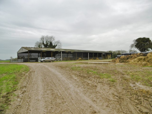
The village has limited amenities, with a small shop and a village hall serving as the main community hubs. Many residents commute to nearby towns for work and services. However, Witchampton offers a peaceful and idyllic setting for those looking to escape the hustle and bustle of city life.

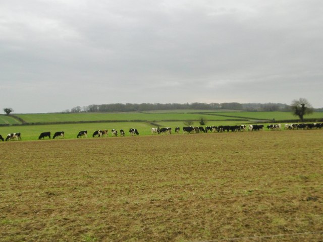
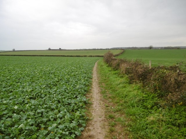
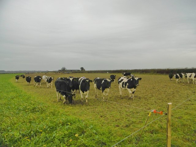
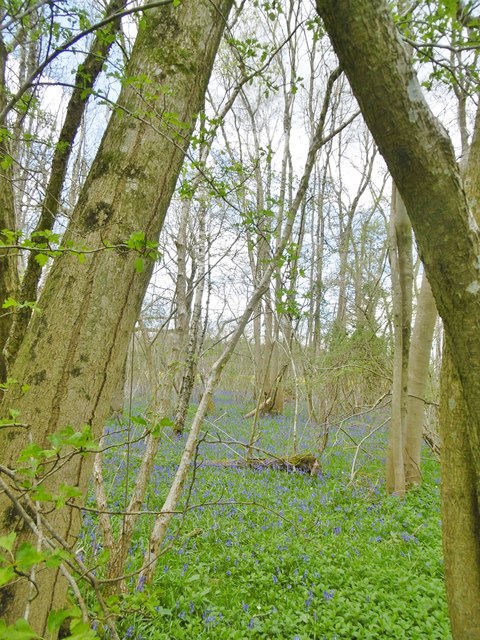
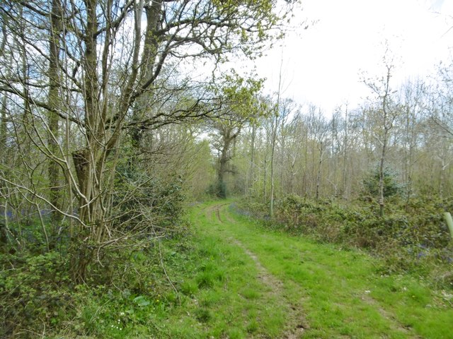
The surrounding countryside provides ample opportunities for outdoor activities such as walking, hiking, and cycling. The nearby River Allen also offers fishing opportunities for enthusiasts. Witchampton truly encapsulates the charm and tranquility of rural Dorset.

If you have any feedback on the listing, please let us know in the comments section below.
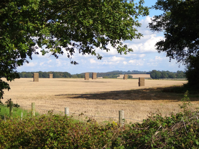
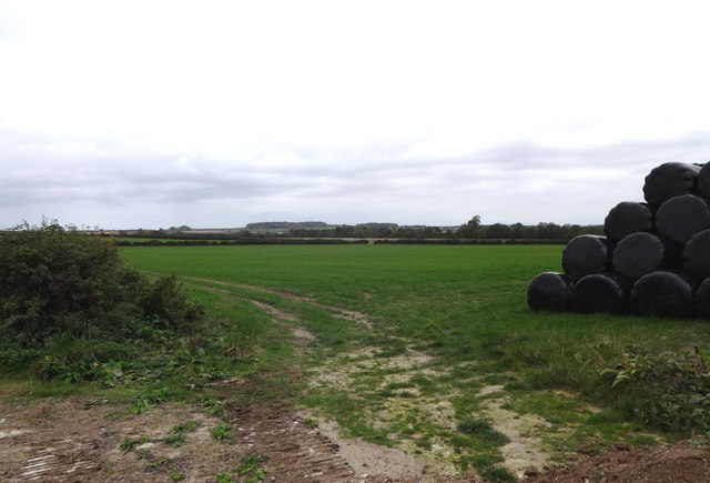
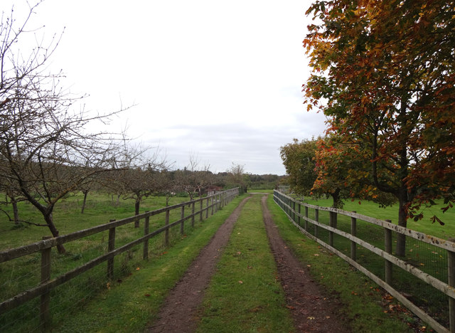
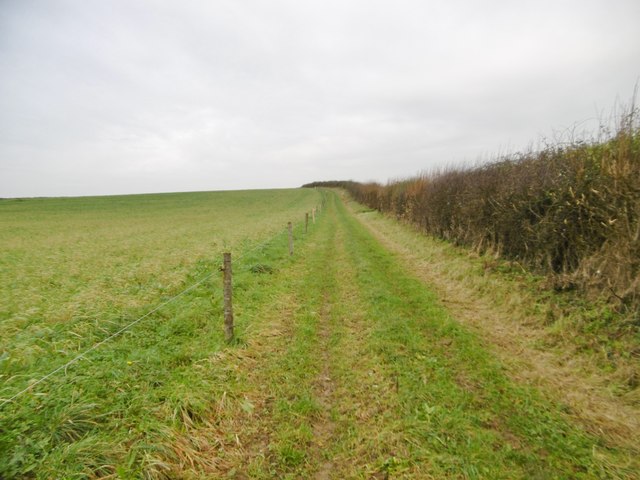
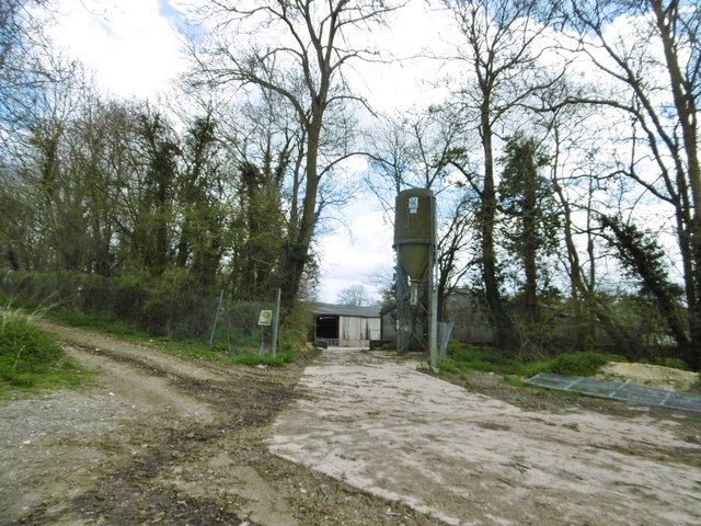
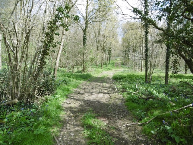
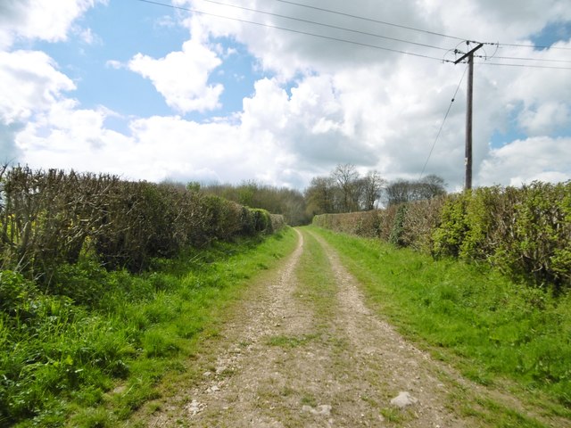
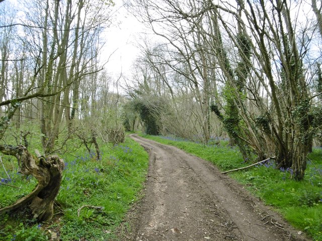
Witchampton Images

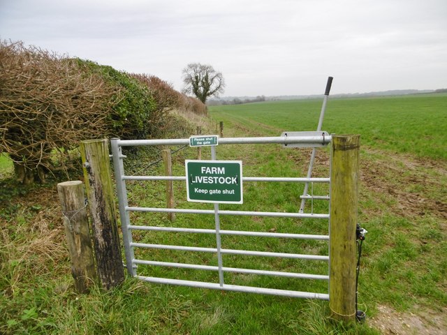
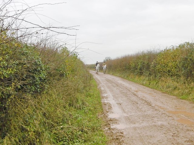
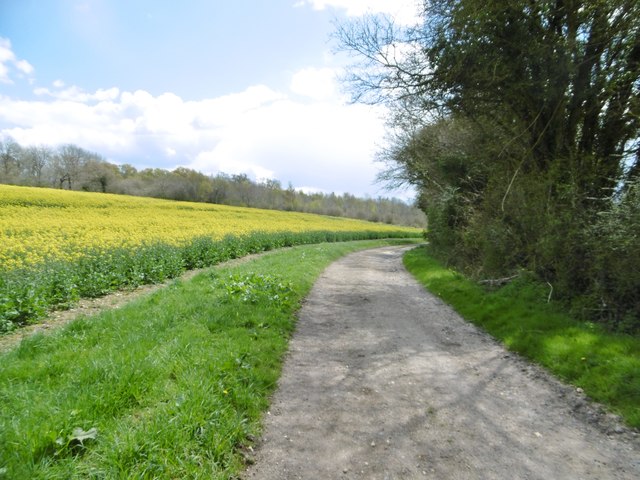
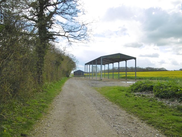
Images are sourced within 2km of 50.856119/-2.033839 or Grid Reference ST9706. Thanks to Geograph Open Source API. All images are credited.

Harvest home near Witchampton The hay has been stacked on a beautiful mid-September afternoon.
Harvest home near Witchampton
The hay has been stacked on a beautiful mid-September afternoon.
Farmland south of Witchampton Lane The hay has been wrapped in plastic and stacked for the coming winter.
Farmland south of Witchampton Lane
The hay has been wrapped in plastic and stacked for the coming winter.
High Lea Dairy An orchard and farm track alongside High Lea Dairy.
High Lea Dairy
An orchard and farm track alongside High Lea Dairy.
Witchampton, footpath Along farmland to the bridleway to Witchampton and Wimborne Road.
Witchampton, footpath
Along farmland to the bridleway to Witchampton and Wimborne Road.
Witchampton, cattle grazing The heifers are feeding next to the fence, where they have just been given supplementary feed.
Witchampton, cattle grazing
The heifers are feeding next to the fence, where they have just been given supplementary feed.
Witchampton, barn
Witchampton, barn
Witchampton, footpath Along cropland, to the bridleway to the village or Wimborne Road.
Witchampton, footpath
Along cropland, to the bridleway to the village or Wimborne Road.
Witchampton, cattle grazing Expectant heifers, obviously used to supplementary feed at this time of day; see also <a href="https://www.geograph.org.uk/photo/4768390">ST9604 : Witchampton, cattle grazing</a>, when it arrived.
Witchampton, cattle grazing
Expectant heifers, obviously used to supplementary feed at this time of day; see also ST9604 : Witchampton, cattle grazing, when it arrived.
Witchampton, gate On the bridleway to the village; currently disused, but presumably useful when the electric fence is reinstalled.
Witchampton, gate
On the bridleway to the village; currently disused, but presumably useful when the electric fence is reinstalled.
Witchampton, bridleway Bridleway and farm road, towards Wimborne Road.
Witchampton, bridleway
Bridleway and farm road, towards Wimborne Road.
Tarrant Rushton, bridleway Between rape fields, towards Witchampton.
Tarrant Rushton, bridleway
Between rape fields, towards Witchampton.
Tarrant Rushton, barns Next to Dean Hill; one open-sided and one covered.
Tarrant Rushton, barns
Next to Dean Hill; one open-sided and one covered.
Tarrant Rushton, hoppers A notice warns of bio-security at the piggery, which is unusually quiet; perhaps the piggery is disused.
Tarrant Rushton, hoppers
A notice warns of bio-security at the piggery, which is unusually quiet; perhaps the piggery is disused.
Tarrant Rushton, Dean Hill Coppice One of several coppices in and around Chetterwood.
Tarrant Rushton, Dean Hill Coppice
One of several coppices in and around Chetterwood.
Tarrant Rushton, Bratch Lane Footpath and farm road from Dean Hill to Rushton.
Tarrant Rushton, Bratch Lane
Footpath and farm road from Dean Hill to Rushton.
Tarrant Rushton, Bratch Lane Footpath and track from Dean Hill to the village, through Harry's Coppice.
Tarrant Rushton, Bratch Lane
Footpath and track from Dean Hill to the village, through Harry's Coppice.
Tarrant Rushton, Harry's Coppice A fine display of bluebells is decorating the woodland floor.
Tarrant Rushton, Harry's Coppice
A fine display of bluebells is decorating the woodland floor.
Tarrant Rushton, forestry track In Harry's Coppice.
Tarrant Rushton, forestry track
In Harry's Coppice.
Show me another place!

Witchampton is located at Grid Ref: ST9706 (Lat: 50.856119, Lng: -2.033839)

Administrative County: Dorset

District: East Dorset

Police Authority: Dorset

What 3 Words

///guilty.reference.neckline. Near Sturminster Marshall, Dorset

Nearby Locations

Witchampton

Related Wikis

Bryanston SSSI, Dorset

Bryanston SSSI (grid reference ST974070) is a 0.3 hectare biological Site of Special Scientific Interest in Dorset, England notified in 1977. It is used...

Witchampton

Witchampton is a village and civil parish in East Dorset, England, situated on the River Allen 5 miles (8 km) north of Wimborne Minster. The 2011 census...

Badbury Hundred

Badbury Hundred was a hundred in the county of Dorset, England, which took its name from the earthwork of Badbury Rings. It contained the following parishes...

Crichel House

Crichel House is a Grade I listed, Classical Revival country house near the village of Moor Crichel in Dorset, England. The house has an entrance designed...

Nearby Amenities

Located within 500m of 50.856119,-2.033839
Roman Road Cross Roads
Lat/Long: 50.8559103/-2.033264
Post Box
Collection Times: Mo-Sa 12:00
Operator: Royal Mail
Post Box Type: lamp
Ref: BH21 88
Ref GB Uprn: 10015422957
Royal Cypher: EIIR
Royal Cypher Wikidata: Q33102113
Lat/Long: 50.8556293/-2.0407882
Deans Leaze Farm
Place: farm
Wikidata: Q26448149
Lat/Long: 50.8592232/-2.0378161
Man Made: utility_pole
Material: wood
Operator: BT OpenReach
Ref: DP 45
Telecom Medium: copper;fibre
Utility: telecom
Lat/Long: 50.8558517/-2.0334063
Roman Road Cross Roads
Information: guidepost
Ref: 977062
Tourism: information
Lat/Long: 50.8559667/-2.033321
Power: pole
Source: survey;bing
Lat/Long: 50.8560338/-2.0391773
Power: pole
Source: bing
Lat/Long: 50.8578698/-2.0391656
Power: pole
Source: bing
Lat/Long: 50.8570999/-2.0394061
Power: pole
Source: bing
Lat/Long: 50.8563539/-2.0395926
Power: pole
Source: bing
Transformer: distribution
Lat/Long: 50.8518428/-2.0338179
Power: pole
Source: bing
Lat/Long: 50.8528713/-2.0368298
Power: pole
Source: bing
Lat/Long: 50.8523487/-2.0351279
Power: pole
Source: bing
Lat/Long: 50.853138/-2.0357836
Power: pole
Source: bing
Lat/Long: 50.853828/-2.0363402
Power: pole
Source: bing
Lat/Long: 50.8544719/-2.0368794
Power: pole
Source: bing
Lat/Long: 50.8550808/-2.0377799
Power: pole
Source: bing
Lat/Long: 50.8556475/-2.0386076
The data included in this document is from www.openstreetmap.org. The data is made available under ODbL.

Have you been to Witchampton?

Leave your review of Witchampton below (or comments, questions and feedback).