Wiswell

Civil Parish in Lancashire Ribble Valley

England

Wiswell

Spring Wood Information Centre
Spring Wood Information Centre Credit: Greum

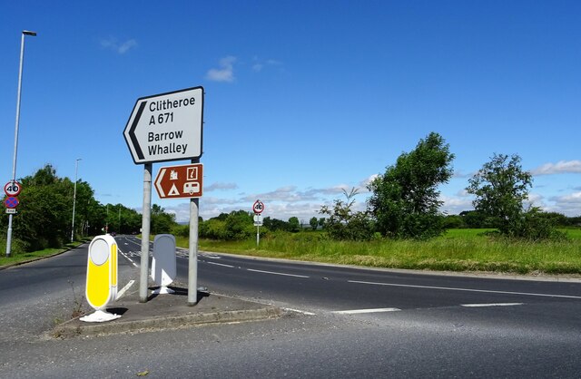
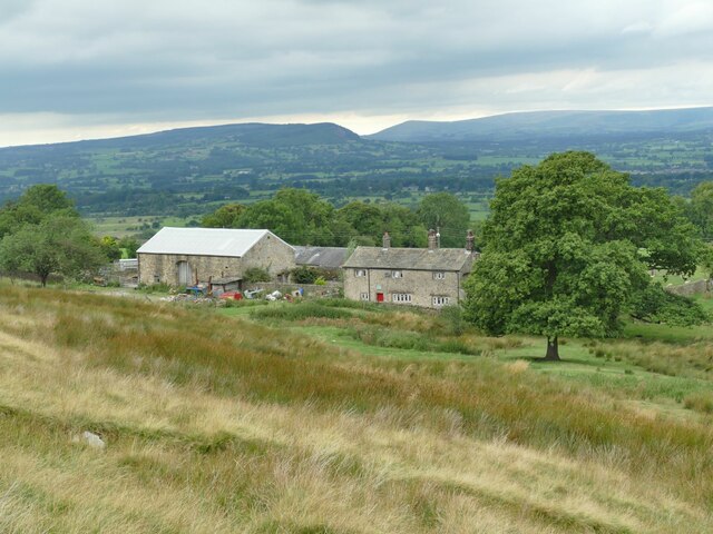
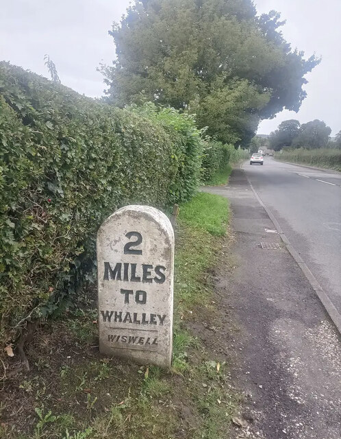
Wiswell is a civil parish located in the Ribble Valley district of Lancashire, England. It is a small village situated about 4 miles northeast of Clitheroe and 1 mile east of Whalley. Wiswell is nestled within the picturesque countryside of the Ribble Valley, known for its rolling hills, lush green fields, and quaint rural charm.

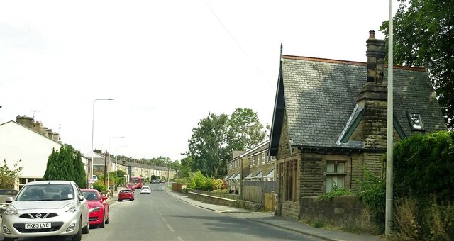
The village itself is home to a close-knit community of around 200 people. It features a mix of traditional stone-built houses, farm buildings, and some newer residential developments. The architecture reflects the area's rich history, with some buildings dating back several centuries. The village is known for its well-preserved historic character and has been designated as a conservation area.

Wiswell is also renowned for its culinary offerings, boasting one of the finest dining establishments in the country. The Freemasons at Wiswell, a Michelin-starred pub and restaurant, attracts visitors from far and wide with its innovative menu and exceptional service.

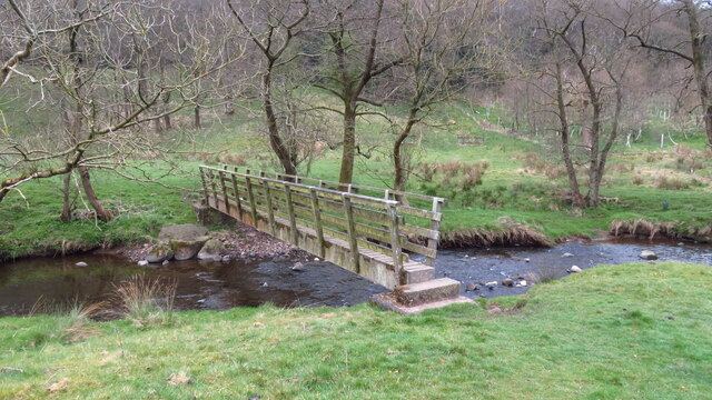
The village is surrounded by stunning countryside, offering ample opportunities for outdoor activities such as walking, cycling, and horse riding. The nearby River Calder provides a picturesque setting for fishing and picnicking. For those seeking cultural and historical experiences, the nearby towns of Clitheroe and Whalley offer a range of attractions, including medieval castles, museums, and independent shops.

Overall, Wiswell is a tranquil and charming village, perfect for those seeking a peaceful retreat in the heart of Lancashire's beautiful countryside.

If you have any feedback on the listing, please let us know in the comments section below.
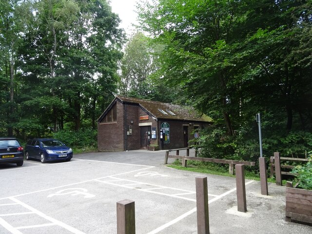
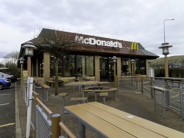
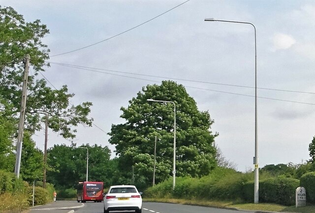
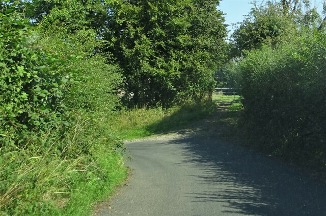
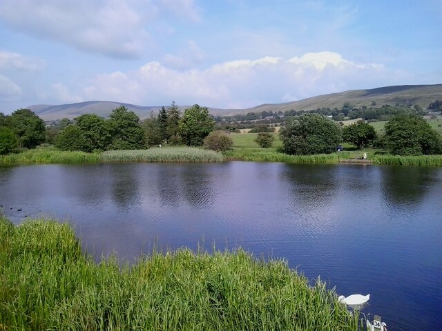
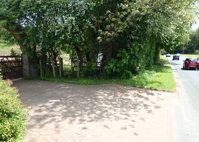
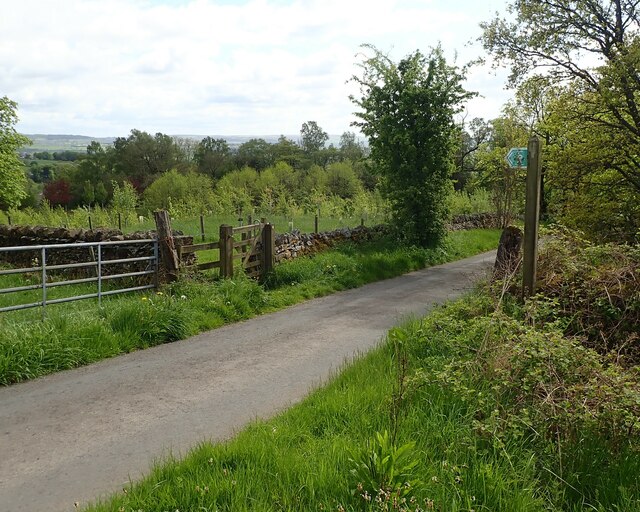
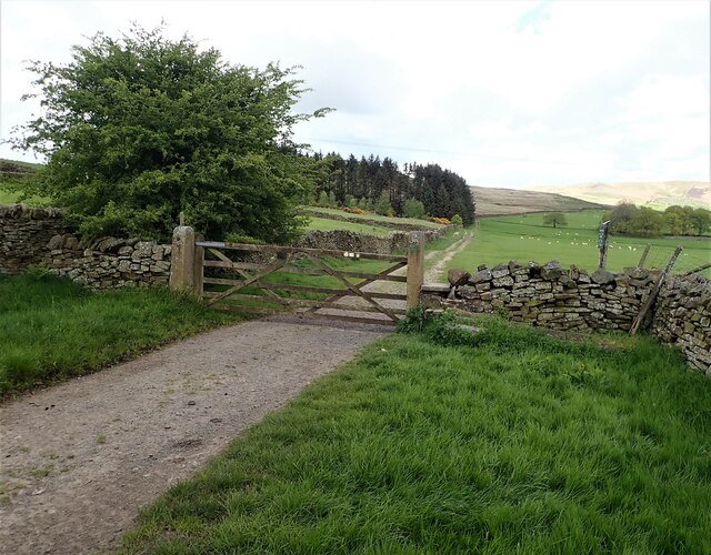
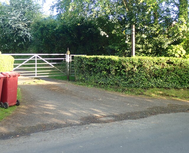
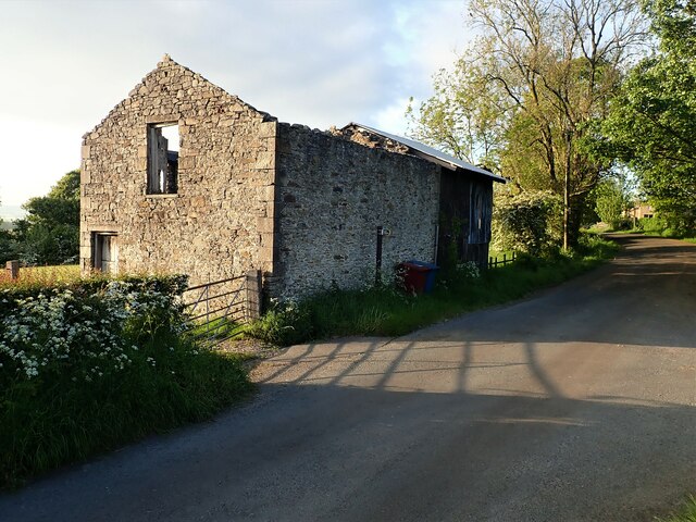
Wiswell Images

Images are sourced within 2km of 53.833518/-2.381725 or Grid Reference SD7437. Thanks to Geograph Open Source API. All images are credited.

Spring Wood Information Centre
McDonald's on the Ribble Valley Enterprise Park near Clitheroe
Road Junction The junction of A59 and A671.
Road Junction
The junction of A59 and A671.
Whalley Road at Barrow
Whalley Road Two miles to Clitheroe.
Whalley Road
Two miles to Clitheroe.
Outside Pendleton Pendleton Road veers sharply to the left on the approach to the village.
Outside Pendleton
Pendleton Road veers sharply to the left on the approach to the village.
Wymondhouses Farm The main house (left of the tree) dates from 1788 and is grade II listed (list entry 1072086) as is an even older house behind the tree in this view (list entry 1165082) <a href="https://www.geograph.org.uk/photo/761719">SD7638 : Farm building at Wymondhouses</a>.
Wymondhouses Farm
The main house (left of the tree) dates from 1788 and is grade II listed (list entry 1072086) as is an even older house behind the tree in this view (list entry 1165082) SD7638 : Farm building at Wymondhouses.
Footbridge over Sabden Brook below Hodgeon Stone Plantation
Jeppe Knave Grave above Wiswell At the side of the depression there is a large stone with an inscription which says: JEPPE KNAVE GRAVE as well as a small incised cross; the cross was probably carved in the 1960s. According to legend, one Jeppe Curteys a highwayman was beheaded for his crimes in 1327; he was subsequently buried here at this solitary spot on the moor. The name "Knave" is usually taken to mean 'a wrong doer', but it could also be the Norse word for a boy, youth or servant. So this is much more likely to be an earlier prehistoric/Dark Age burial site - pre-dating the highwayman by a few thousand years. (source Megalithic portal)
Jeppe Knave Grave above Wiswell
At the side of the depression there is a large stone with an inscription which says: JEPPE KNAVE GRAVE as well as a small incised cross; the cross was probably carved in the 1960s. According to legend, one Jeppe Curteys a highwayman was beheaded for his crimes in 1327; he was subsequently buried here at this solitary spot on the moor. The name "Knave" is usually taken to mean 'a wrong doer', but it could also be the Norse word for a boy, youth or servant. So this is much more likely to be an earlier prehistoric/Dark Age burial site - pre-dating the highwayman by a few thousand years. (source Megalithic portal)
Trig Point on The Rough above Wiswell
Barrow Fish Pond View towards Pendle Hill from the fish pond by the A59 in Barrow
Barrow Fish Pond
View towards Pendle Hill from the fish pond by the A59 in Barrow
Stile Clitheroe Road Whalley The stile for the footpath opposite the Cemetery on Clitheroe Road Whalley.
Stile Clitheroe Road Whalley
The stile for the footpath opposite the Cemetery on Clitheroe Road Whalley.
Gate for path off Clerk Hill Road The gate for the footpath on Clerk Hill Road leading to Lower Clerk Hill and Hollins Farm.
Gate for path off Clerk Hill Road
The gate for the footpath on Clerk Hill Road leading to Lower Clerk Hill and Hollins Farm.
Gate on Clerk Hill Road The gateway just past Wiswell Moor Houses on Clerk Hill Road, a view of this gate from the opposite direction can be seen here - <a title="https://www.geograph.org.uk/photo/3358541" href="https://www.geograph.org.uk/photo/3358541">Link</a>.  Description regarding footpaths here -<a title="https://www.geograph.org.uk/photo/2266920" href="https://www.geograph.org.uk/photo/2266920">Link</a>
Gate on Clerk Hill Road
The gateway just past Wiswell Moor Houses on Clerk Hill Road, a view of this gate from the opposite direction can be seen here - Link. Description regarding footpaths here -Link
Footpath Parker Place Farm The entrance and footpath sign at Parker Place Farm off Pendleton Road.
Footpath Parker Place Farm
The entrance and footpath sign at Parker Place Farm off Pendleton Road.
Derelict Building The derelict building opposite the entrance to Wiswell Eaves Farm off Pendleton Road.
Derelict Building
The derelict building opposite the entrance to Wiswell Eaves Farm off Pendleton Road.
Old Milestone by Whalley Road, Wiswell parish Carved stone post by the UC road (was A59), in parish of WISWELL (RIBBLE VALLEY District), North of Barrow, opposite Garden Centre, on verge in front of semi-detached houses, on East side of road. Whalley stone, erected by the Clitheroe to Blackburn & Mellor Brook turnpike trust in the 19th century. 

Inscription reads:-
: 2 / MILES / TO / WHALLEY/ - / WISWELL / - : : 2 / MILES / TO / CLITHEROE / - / WISWELL / - : 

Milestone Society National ID: LA_CLWH02.
Old Milestone by Whalley Road, Wiswell parish
Carved stone post by the UC road (was A59), in parish of WISWELL (RIBBLE VALLEY District), North of Barrow, opposite Garden Centre, on verge in front of semi-detached houses, on East side of road. Whalley stone, erected by the Clitheroe to Blackburn & Mellor Brook turnpike trust in the 19th century. Inscription reads:- : 2 / MILES / TO / WHALLEY/ - / WISWELL / - : : 2 / MILES / TO / CLITHEROE / - / WISWELL / - : Milestone Society National ID: LA_CLWH02.
A59, Looking North from Layby near Barrow The A59 is a 106 mile long, Trans-Pennine road from York to Liverpool, via Skipton.
<span class="nowrap"><a title="http://www.sabre-roads.org.uk/wiki/index.php?title=A59" rel="nofollow ugc noopener" href="http://www.sabre-roads.org.uk/wiki/index.php?title=A59">Link</a><img style="margin-left:2px;" alt="External link" title="External link - shift click to open in new window" src="https://s1.geograph.org.uk/img/external.png" width="10" height="10"/></span>
A59, Looking North from Layby near Barrow
The A59 is a 106 mile long, Trans-Pennine road from York to Liverpool, via Skipton. LinkExternal link
Show me another place!

Wiswell is located at Grid Ref: SD7437 (Lat: 53.833518, Lng: -2.381725)

Administrative County: Lancashire

District: Ribble Valley

Police Authority: Lancashire

What 3 Words

///prowling.guidebook.kilt. Near Whalley, Lancashire

Nearby Locations

Wiswell The Acres Wiswell

Related Wikis

Wiswell

Wiswell is a small village and civil parish in the Ribble Valley, Lancashire, England, close to Whalley and Clitheroe at the foot of Wiswell Moor. At the...

Oakhill School, Whalley

Oakhill School is a coeducational private Roman Catholic school, situated in the village of Whalley (near the town of Clitheroe) in rural Lancashire, England...

Barrow, Lancashire

Barrow is a village and civil parish in the Ribble Valley district in Lancashire, England, situated between Whalley and Clitheroe and bypassed by the A59...

Whalley, Lancashire

Whalley is a large village and civil parish in the Ribble Valley on the banks of the River Calder in Lancashire, England. It is overlooked by Whalley...

Nearby Amenities

Located within 500m of 53.833518,-2.381725
Wiswell
Place: village
Source: npe
Lat/Long: 53.8324942/-2.3881635
Bus Stop
Bus: yes
Public Transport: platform
Lat/Long: 53.8318296/-2.3882785
Post Box
Operator: Royal Mail
Post Box Type: wall
Ref: BB7 470
Lat/Long: 53.8317647/-2.3885012
Public Bookcase
Booth: K6
Disused Amenity: telephone
Man Made: telephone_box
Public Bookcase Type: phone_box
Lat/Long: 53.8316356/-2.3884971
Wiswell Eaves Farm
Place: locality
Source: OsOpenDataStreetView
Lat/Long: 53.835551/-2.3757736
Generator Method: photovoltaic
Generator Output Electricity: yes
Generator Source: solar
Generator Type: solar_photovoltaic_panel
Location: roof
Power: generator
Lat/Long: 53.8350552/-2.3848547
Generator Method: photovoltaic
Generator Output Electricity: yes
Generator Source: solar
Generator Type: solar_photovoltaic_panel
Location: roof
Power: generator
Lat/Long: 53.8347075/-2.3845302
Man Made: flagpole
Lat/Long: 53.8316063/-2.388496
Defibrillator
Access: yes
Defibrillator Location: outside building behind red phone box in Wiswell
Emergency: defibrillator
Indoor: no
Lat/Long: 53.8315265/-2.388343
Bench
Lat/Long: 53.8316124/-2.3884191
The data included in this document is from www.openstreetmap.org. The data is made available under ODbL.

Have you been to Wiswell?

Leave your review of Wiswell below (or comments, questions and feedback).