Windle
Civil Parish in Lancashire St. Helens
England
Windle

Windle is a civil parish located in the metropolitan borough of St Helens, in the county of Lancashire, England. Situated approximately 12 miles east of Liverpool, Windle covers an area of around 1.5 square miles.
The civil parish is primarily a residential area with a population of approximately 4,000 people. It is known for its peaceful and friendly community, making it an attractive place to live for families and professionals alike. The area boasts a range of amenities, including local shops, schools, and healthcare facilities, providing residents with easy access to essential services.
Windle is also home to some notable landmarks and natural attractions. Carr Mill Dam, a man-made lake, is a popular spot for sailing, windsurfing, and fishing. The dam is surrounded by picturesque woodland and offers scenic walking trails, making it a fantastic place for outdoor enthusiasts to explore.
Transport links in Windle are excellent, with frequent bus services connecting the area to nearby towns and cities. The M62 motorway is also easily accessible, providing convenient connections to Liverpool, Manchester, and beyond.
Overall, Windle offers a peaceful and well-connected community with a range of amenities and natural attractions. Its proximity to larger cities and excellent transport links make it an ideal place for those seeking a quieter residential area while still having access to urban conveniences.
If you have any feedback on the listing, please let us know in the comments section below.
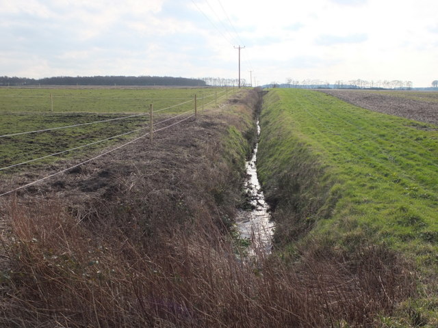
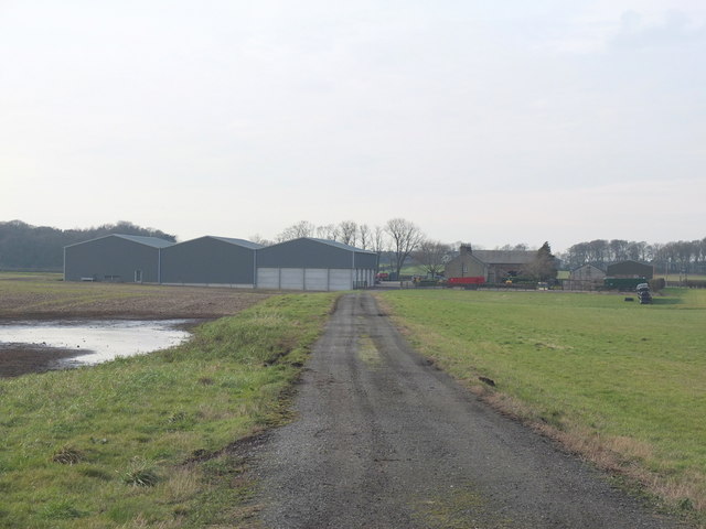
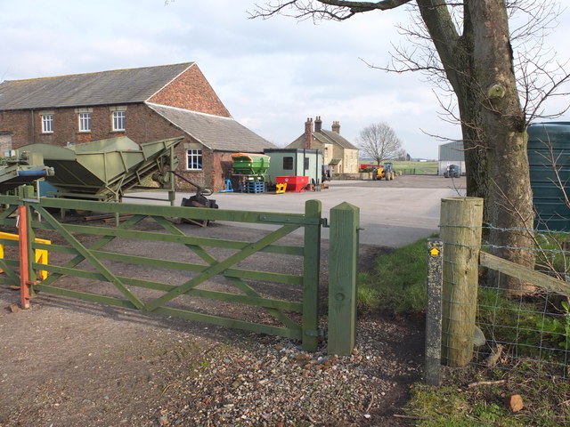
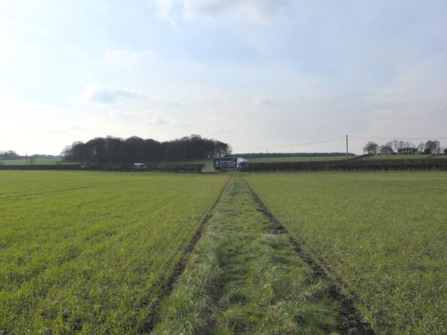
Windle Images
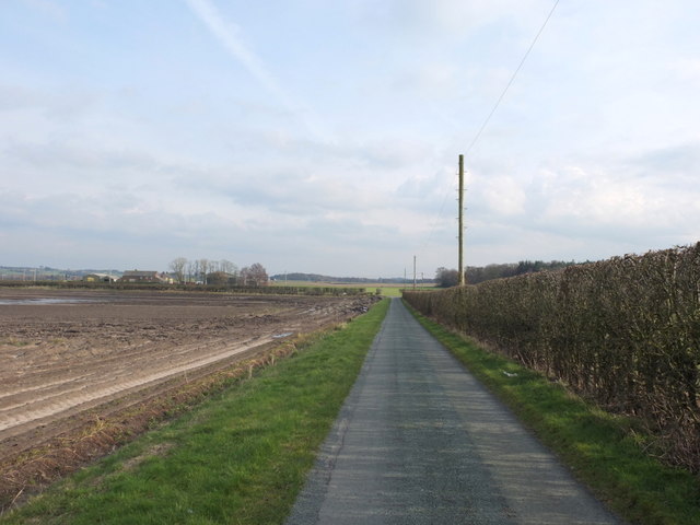
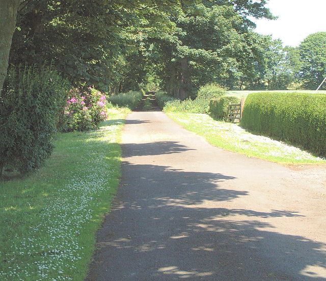
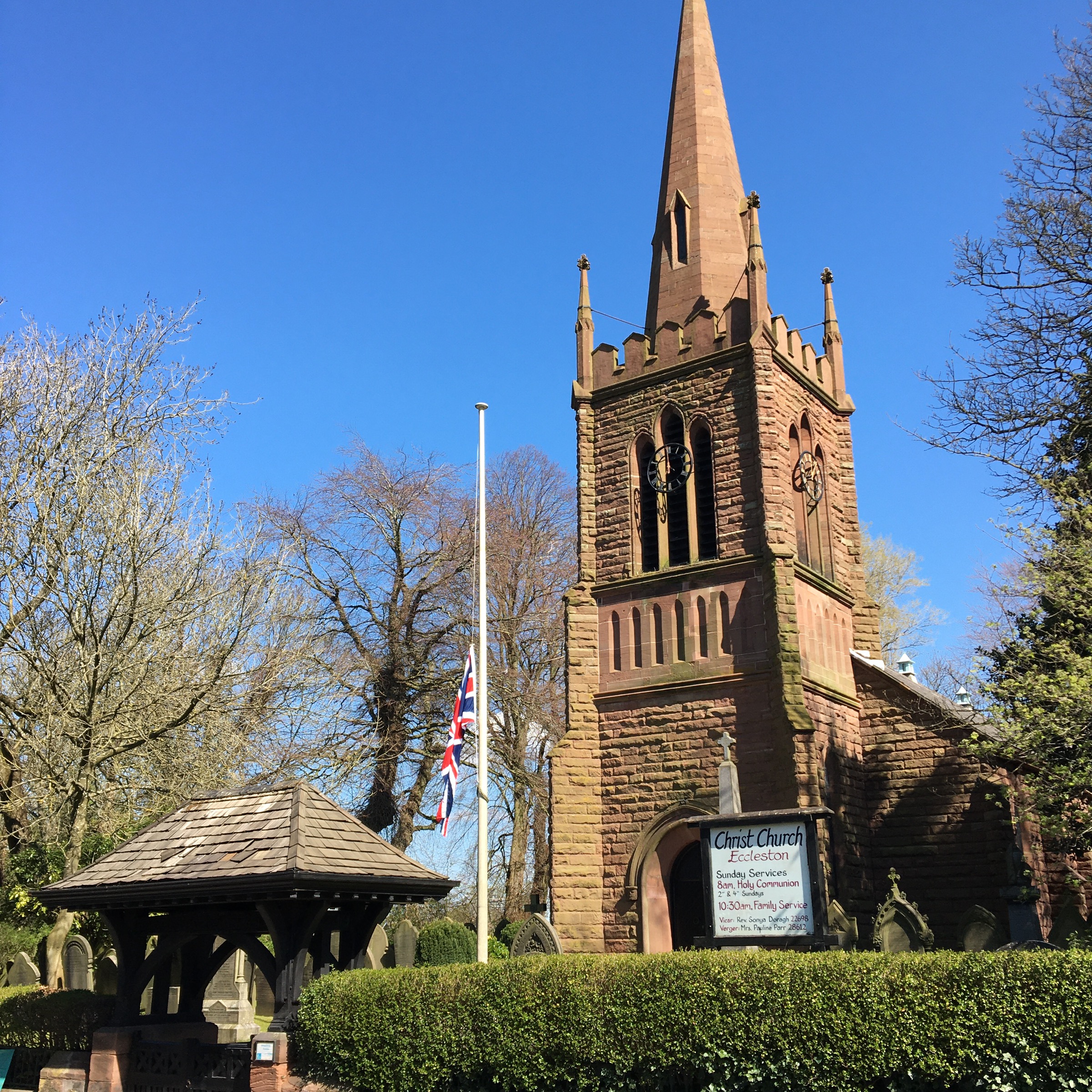
Images are sourced within 2km of 53.472917/-2.804445 or Grid Reference SJ4697. Thanks to Geograph Open Source API. All images are credited.


Windle is located at Grid Ref: SJ4697 (Lat: 53.472917, Lng: -2.804445)
Administrative County: Merseyside
District: St. Helens
Police Authority: Merseyside
What 3 Words
///certainly.confronts.scrum. Near Eccleston, Merseyside
Nearby Locations
Related Wikis

Liverpool St Helens F.C.
Liverpool St Helens Football Club is an English rugby union team formed from the merger of Liverpool Football Club and St. Helens RUFC. The institution...

Knowsley (UK Parliament constituency)
Knowsley is a constituency represented in the House of Commons of the UK Parliament since its 2010 creation by George Howarth of the Labour Party. ��2...

Knowsley North and Sefton East (UK Parliament constituency)
Knowsley North and Sefton East was a county constituency represented in the House of Commons of the Parliament of the United Kingdom. It elected one Member...
Windle, St Helens
Windle is a suburb of St Helens, civil parish and ward of the metropolitan borough of the same name. The population of Windle was given as 10,690 at the...
Eccleston, St Helens
Eccleston is a civil parish in the Metropolitan Borough of St Helens, Merseyside, England. At the 2011 census, it had a population of 10,433.Within the...
De La Salle School, St Helens
De La Salle School, Eccleston, St Helens is an 11-16 mixed comprehensive Roman Catholic high school which is linked to the worldwide La Sallian community...
Old Mill Lane railway station
Old Mill Lane railway station was on the St Helens to Rainford Junction then Ormskirk line south of Rainford, England. It opened on 1 August 1906 and closed...
Rookery railway station
Rookery railway station was on the St Helens to Rainford Junction then Ormskirk line southeast of Rainford, England. == History == The first station opened...
Nearby Amenities
Located within 500m of 53.472917,-2.804445Have you been to Windle?
Leave your review of Windle below (or comments, questions and feedback).