Wilpshire

Civil Parish in Lancashire Ribble Valley

England

Wilpshire

Wilpshire Moor Trig Point Flush Bracket S4560
Wilpshire Moor Trig Point Flush Bracket S4560 Credit: thejackrustles

Wilpshire is a civil parish located in the county of Lancashire, England. Situated about 3 miles north of Blackburn, it falls within the borough of Ribble Valley. The parish covers an area of approximately 2 square miles and has a population of around 2,000 residents.

The village of Wilpshire is predominantly residential, with a mix of housing styles including detached houses, semi-detached properties, and some larger, more modern developments. It is known for its picturesque surroundings, nestled between rolling hills and green fields, offering residents a peaceful and scenic environment.

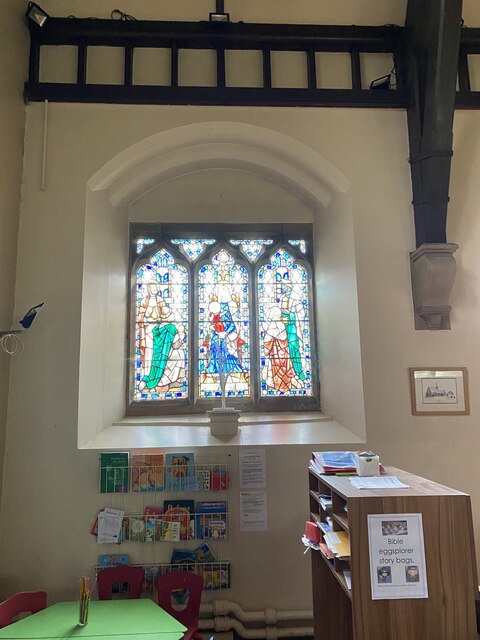
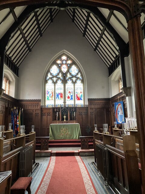
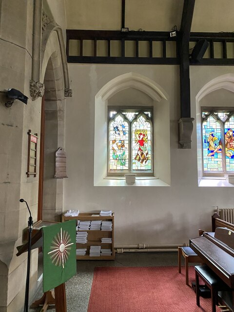
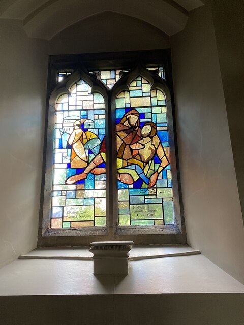
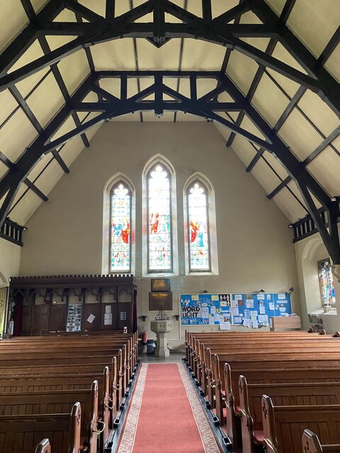
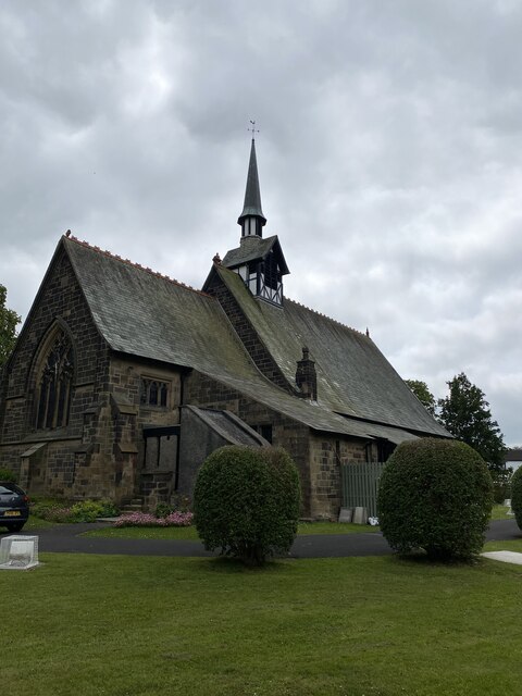
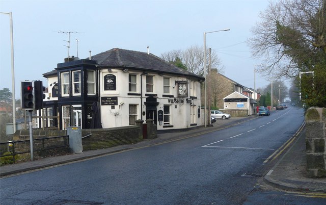
Wilpshire is served by a range of local amenities, including a primary school, a few small shops, a post office, and a village hall. There are also several churches in the area, reflecting the village's historic roots.

The parish benefits from good transport links, with a train station located in the village, providing easy access to nearby towns and cities. Additionally, several bus routes pass through Wilpshire, connecting it to neighboring areas.

For outdoor enthusiasts, there are numerous walking and cycling routes in and around Wilpshire, allowing residents to explore the beautiful Lancashire countryside. The nearby Ribble Valley offers further opportunities for outdoor activities, with the Forest of Bowland Area of Outstanding Natural Beauty just a short drive away.

Overall, Wilpshire is a charming and peaceful civil parish, offering residents a tranquil lifestyle in a scenic setting, while still benefiting from convenient access to nearby amenities and transport links.

If you have any feedback on the listing, please let us know in the comments section below.
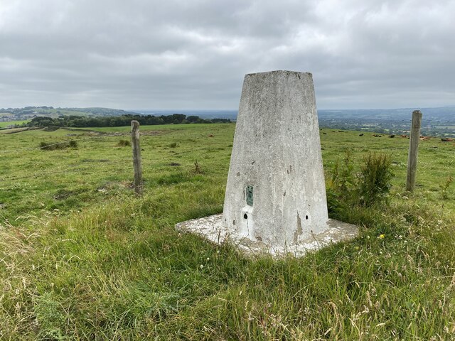
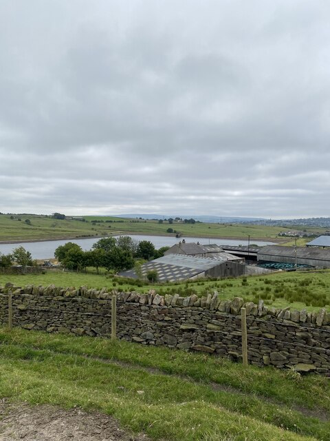
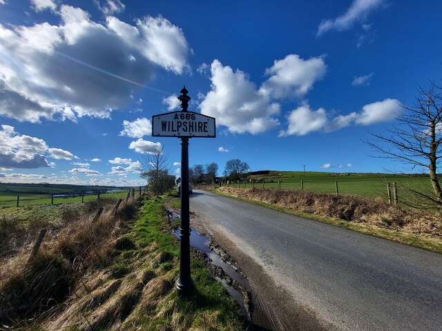
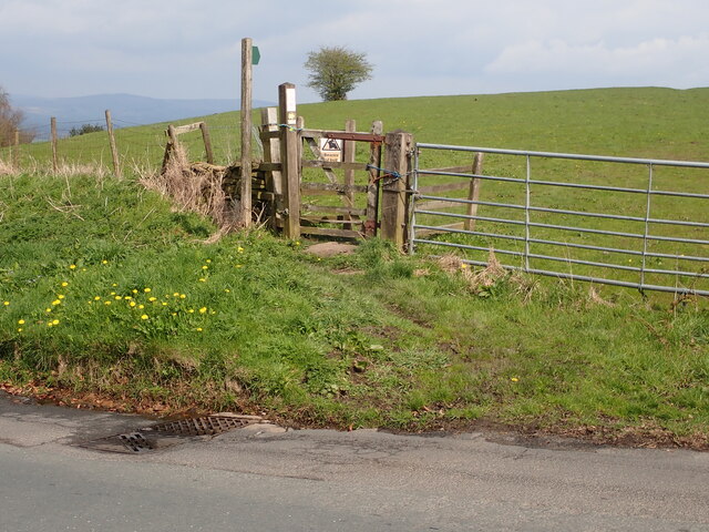
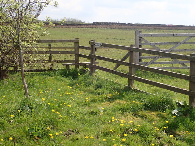
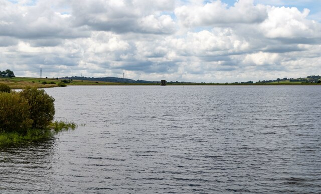
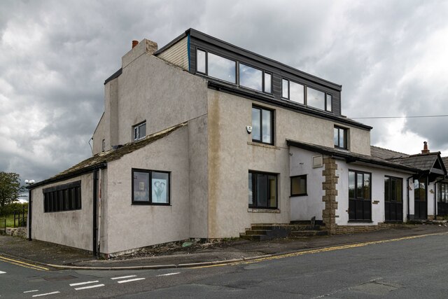
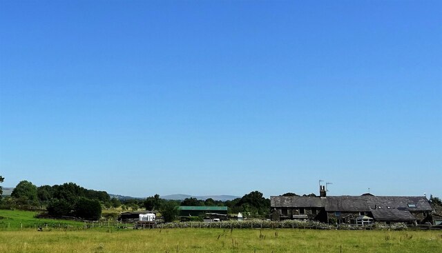
Wilpshire Images

Images are sourced within 2km of 53.791293/-2.467548 or Grid Reference SD6932. Thanks to Geograph Open Source API. All images are credited.

Wilpshire Moor Trig Point Flush Bracket S4560
Parsonage Reservoir
Parsonage Reservoir
Village Signpost on York Road, Wilpshire Located on the southeast side of York Road in Wilpshire parish. 

Milestone Society National ID: LA_SD7032V
Village Signpost on York Road, Wilpshire
Located on the southeast side of York Road in Wilpshire parish. Milestone Society National ID: LA_SD7032V
Stile Old Nab Road The stile on Old Nab Road just out of York Village. The style provides access to more than one path.
Stile Old Nab Road
The stile on Old Nab Road just out of York Village. The style provides access to more than one path.
Footpath Snodworth Road The style leading to the footpath on the bend at the top of Snodworth Road.
Footpath Snodworth Road
The style leading to the footpath on the bend at the top of Snodworth Road.
Footpath from track to Little Snodworth The style providing access to the footpath leading from the track to Little Snodworth The track is located just off the top of Snodworth Road.
Footpath from track to Little Snodworth
The style providing access to the footpath leading from the track to Little Snodworth The track is located just off the top of Snodworth Road.
Parsonage Reservoir
Parsonage Reservoir
New Inns Old public house at New Inns.
New Inns
Old public house at New Inns.
Wheatley Farm Off the A59 near Copster Green.
Wheatley Farm
Off the A59 near Copster Green.
St Peters Stained Glass Window
St Peters Alter
St Peters Alter
St Peters Stained Glass Window
St Peters Modern Stained Glass Window
St Peters Font
St Peters Font
St Peters, Salesbury
OS Cut Mark - Salesbury, Saint Peters Church <span class="nowrap"><a title="https://www.bench-marks.org.uk/bm95593" rel="nofollow ugc noopener" href="https://www.bench-marks.org.uk/bm95593">Link</a><img style="margin-left:2px;" alt="External link" title="External link - shift click to open in new window" src="https://s1.geograph.org.uk/img/external.png" width="10" height="10"/></span>
OS Cut Mark - Salesbury, Saint Peters Church
Location of OS Cut Mark - Salesbury, Saint Peters Church
Electric fence - cross here
Show me another place!

Wilpshire is located at Grid Ref: SD6932 (Lat: 53.791293, Lng: -2.467548)

Administrative County: Lancashire

District: Ribble Valley

Police Authority: Lancashire

What 3 Words

///fuel.rating.serves. Near Langho, Lancashire

Nearby Locations

Wilpshire Wilpshire Moor

Related Wikis

Ramsgreave and Wilpshire railway station

Ramsgreave and Wilpshire is a railway station on the Ribble Valley Line that serves the villages/suburbs of Ramsgreave and Wilpshire, just north of Blackburn...

Salesbury

Salesbury is a village and civil parish in Ribble Valley, located centrally in the county of Lancashire, England. The B6245 road runs straight through...

Wilpshire

Wilpshire is a village and civil parish in the county of Lancashire, England. It is 2.5 miles (4.0 km) north of Blackburn, and forms part of the town...

Clayton-le-Dale

Clayton-le-Dale is a village and civil parish situated on the A59 road near Blackburn, in Lancashire, England. The population of the civil parish as of...

Nearby Amenities

Located within 500m of 53.791293,-2.467548
Bus Stop
Bus: yes
Public Transport: platform
Lat/Long: 53.7902139/-2.474608
Bus Stop
Bus: yes
Naptan AtcoCode: 2500LAA07711
Naptan NaptanCode: lanjpwpt
Public Transport: platform
Lat/Long: 53.7927995/-2.4648515
Turning Circle
Noexit: yes
Lat/Long: 53.7923968/-2.4735209
Bus Stop
Bus: yes
Public Transport: platform
Lat/Long: 53.7899606/-2.4744796
Bus Stop
Bus: yes
Public Transport: platform
Lat/Long: 53.7920188/-2.4684884
Bus Stop
Bus: yes
Naptan AtcoCode: 2500IMG1479
Naptan NaptanCode: landtgdm
Public Transport: platform
Shelter: yes
Lat/Long: 53.7917384/-2.4695104
Telephone
Booth: KX200
Covered: booth
Lat/Long: 53.7917304/-2.4695747
Bus Stop
Bus: yes
Public Transport: platform
Lat/Long: 53.7928124/-2.4656472
Post Box
Lat/Long: 53.7923307/-2.4672994
Ford: yes
Lat/Long: 53.7909234/-2.4644299
Generator Method: photovoltaic
Generator Output Electricity: yes
Generator Source: solar
Generator Type: solar_photovoltaic_panel
Location: roof
Power: generator
Lat/Long: 53.7926959/-2.473385
Generator Method: photovoltaic
Generator Output Electricity: yes
Generator Source: solar
Generator Type: solar_photovoltaic_panel
Location: roof
Power: generator
Lat/Long: 53.7926959/-2.4734226
Generator Method: photovoltaic
Generator Output Electricity: yes
Generator Source: solar
Generator Type: solar_photovoltaic_panel
Location: roof
Power: generator
Lat/Long: 53.7918467/-2.4720305
Generator Method: photovoltaic
Generator Output Electricity: yes
Generator Source: solar
Generator Type: solar_photovoltaic_panel
Location: roof
Power: generator
Lat/Long: 53.793618/-2.4660385
Generator Method: photovoltaic
Generator Output Electricity: yes
Generator Source: solar
Generator Type: solar_photovoltaic_panel
Location: roof
Power: generator
Lat/Long: 53.7936719/-2.466017
Generator Method: photovoltaic
Generator Output Electricity: yes
Generator Source: solar
Generator Type: solar_photovoltaic_panel
Location: roof
Power: generator
Lat/Long: 53.7937004/-2.4662209
Generator Method: photovoltaic
Generator Output Electricity: yes
Generator Source: solar
Generator Type: solar_photovoltaic_panel
Location: roof
Power: generator
Lat/Long: 53.7916771/-2.4738249
Generator Method: photovoltaic
Generator Output Electricity: yes
Generator Source: solar
Generator Type: solar_photovoltaic_panel
Location: roof
Power: generator
Lat/Long: 53.7909421/-2.474142
Generator Method: photovoltaic
Generator Output Electricity: yes
Generator Source: solar
Generator Type: solar_photovoltaic_panel
Location: roof
Power: generator
Lat/Long: 53.7924363/-2.4652773
Turning Loop
Lat/Long: 53.7931352/-2.4651907
Waste Basket
Lat/Long: 53.7917538/-2.4694371
Noexit: yes
Lat/Long: 53.7936156/-2.4726668
The data included in this document is from www.openstreetmap.org. The data is made available under ODbL.

Have you been to Wilpshire?

Leave your review of Wilpshire below (or comments, questions and feedback).